Turlock Lake
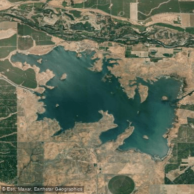
Turlock Lake
- Boat Ramps
- 2
- Access Points
- 3
- Campsites
- 1
Turlock Lake is a 3,500-acre reservoir located in the rolling foothills of eastern Stanislaus County, California. The lake features 26 miles of shoreline and is characterized by small grassy mounds breaking the water's surface, creating a maze of little islands on the eastern half. This shallow lake is subject to fluctuating water levels, with a significant portion potentially drying up during drought conditions.
The lake is ideal for paddlers of all skill levels, offering a unique landscape to explore. Kayaking, canoeing, and stand-up paddleboarding are popular activities. A boat launch ramp is available with ample parking for vehicles and trailers. The lake is open year-round for boating from 8 am to sunset, with no posted speed limits except in designated 5 mph zones.
Paddlers should be aware that the lake can experience high temperatures during summer months, with air temperatures potentially reaching into the 100s. It's crucial to stay hydrated when spending time on the water. The wet season typically runs from October through April, which may affect water levels and paddling conditions.
Along the lakeshore, paddlers will find two designated picnic areas with shade trees and barbecue grills, providing convenient spots for breaks or lunch. Swimming is permitted, offering a refreshing way to cool off, but there are no lifeguards on duty, so caution is advised.
Wildlife enthusiasts may appreciate the opportunity to observe various species in their natural habitat around the lake. The surrounding area is part of the Great Valley Grasslands State Park Complex, suggesting a rich ecosystem for nature viewing.
As of May 2023, it's important to note that Turlock Lake is temporarily closed while California State Parks and Turlock Irrigation District work to find a new operator for the park. Paddlers should check for updates on the lake's status before planning a trip.
Water access, boat ramps & amenities
Learn how to get on Turlock Lake. Uncover great paddling access points, boat ramps, and all the facilities you need for an unforgettable day on the water. Some locations shown may border or include private property. Always check property boundaries and applicable regulations before visiting. PaddleWays's Public & Private Land layer can help you plan your access with confidence.
Paddle smarter with real-time insights
Whether you're en route and conditions shift or you're looking for the best spot based on current flows, we enable you to make informed decisions on the fly.








Find Places to Paddle

Over 400,000 Places to Paddle
Every user gets free access to launch points, boat ramps, and public property parcels.


Water and weather conditions (10 day forecast)
See the best times to paddle Turlock Lake and check the forecast before you go.
No forecast data available.
Paddling near Turlock Lake

San Joaquin River

Tuolumne River
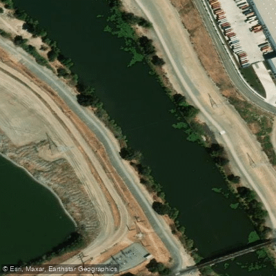
Weatherbee Lake

Merced River

Stanislaus River
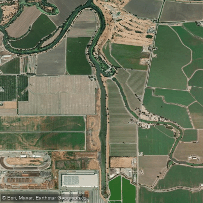
Sugar Cut

Mokelumne River
Grant Line Canal
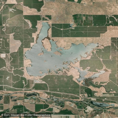
Modesto Reservoir
Explore California waters
Top paddling waters
Popular Cities
Loading popular cities...
Explore near Turlock Lake
Access points
Nearby waters
More in California

Smarter Paddling Starts in the App.
Paddleways gives you everything you need to plan smarter, paddle better, and own every trip from first launch to takeout.