Sugar Cut
- Saltwater
- Sea area
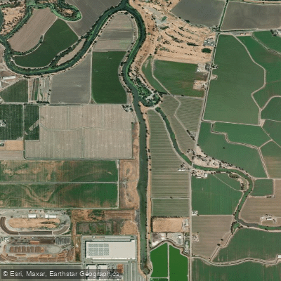
Sugar Cut
- Saltwater
- Sea area
- Sq. miles
- 0.1
- Boat Ramps
- 0
- Access Points
- 0
- Campsites
- 0
Sugar Cut is an inlet located in San Joaquin County, California, within the broader Sacramento-San Joaquin River Delta area. It is situated near the community of Tracy, with the hamlet of Banta approximately 3.5 miles to the southeast. The inlet is part of a tidal system, as referenced by discussions of flood tides drawing saline water into the cut. This indicates that paddlers must plan for tidal currents, with water flowing into the cut on a flood tide and out on an ebb tide. The area is directly associated with the planned South County Regional Park, which is being developed on agricultural land bordering the northern edge of Tracy and the Delta area, including Sugar Cut. This future park is envisioned to provide public access for boating and kayaking, with scenic walking trails planned to connect to the Sugar Cut for wildlife observation and water activities. The specific character of the paddling experience will be influenced by its Delta location, featuring a flat, low-elevation landscape with an elevation of approximately 23 feet. As an inlet, it likely offers a more confined, intimate paddling environment compared to the main river channels. The surrounding area is primarily agricultural, though the planned park aims to enhance recreational access and natural habitat. Paddlers should be aware of potential salinity intrusion from tidal pulses, which can affect water quality. The development of the regional park suggests that formal launch points and amenities for paddlers are planned but are not yet constructed. Current access may be limited to informal points, and paddlers should verify public access rights before launching. The area is used by anglers targeting species like bass and catfish, indicating the presence of boat traffic.
Water access, boat ramps & amenities
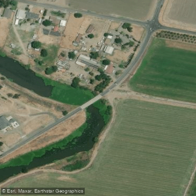
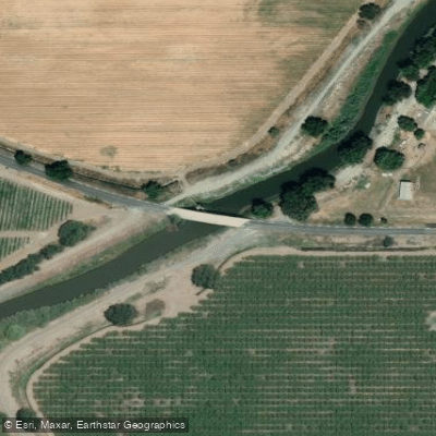
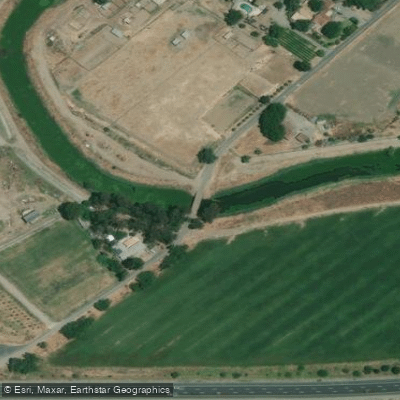
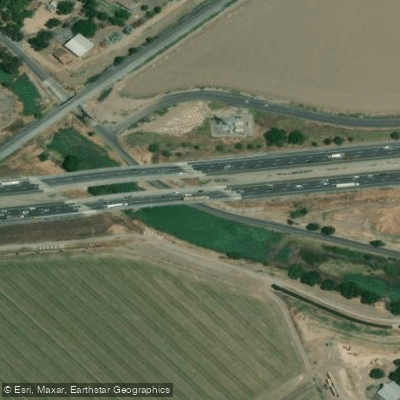
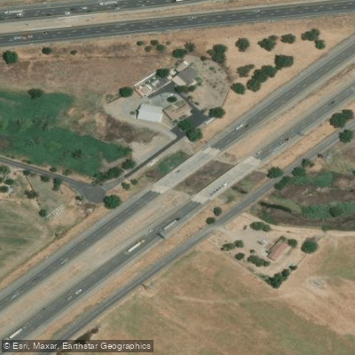
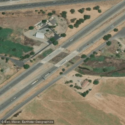
Learn how to get on Sugar Cut. Uncover great paddling access points, boat ramps, and all the facilities you need for an unforgettable day on the water. Some locations shown may border or include private property. Always check property boundaries and applicable regulations before visiting. PaddleWays's Public & Private Land layer can help you plan your access with confidence.
Paddle smarter with real-time insights
Whether you're en route and conditions shift or you're looking for the best spot based on current flows, we enable you to make informed decisions on the fly.








Find Places to Paddle

Over 400,000 Places to Paddle
Every user gets free access to launch points, boat ramps, and public property parcels.


Tides, wind & water conditions (10 day forecast)
On open water, wind and tide matter as much as the weather. See the best times to paddle Sugar Cut and check the marine forecast before you launch.
Loading tide predictions…
Paddling near Sugar Cut

San Joaquin River

Stanislaus River

Tuolumne River

Sacramento River
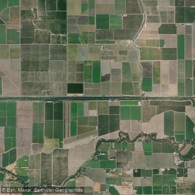
Grant Line Canal

Mokelumne River

Merced River
Fabian and Bell Canal
Old River
Explore California waters
Top paddling waters
Popular Cities
Loading popular cities...
Explore near Sugar Cut
Access points
Nearby waters
More in California

Smarter Paddling Starts in the App.
Paddleways gives you everything you need to plan smarter, paddle better, and own every trip from first launch to takeout.