Grant Line Canal
- Saltwater
- Sea area
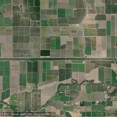
Grant Line Canal
- Saltwater
- Sea area
- Sq. miles
- 0.1
- Boat Ramps
- 0
- Access Points
- 0
- Campsites
- 0
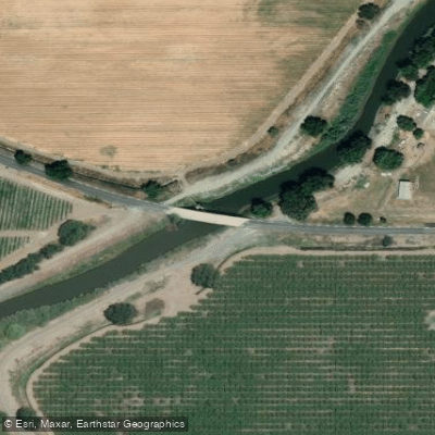
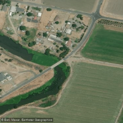
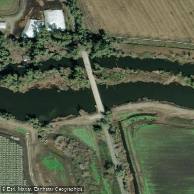
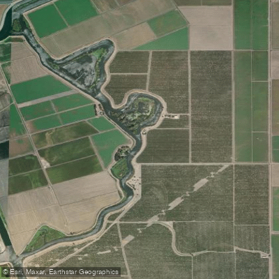
Grant Line Canal is a tidal slough within California's Sacramento-San Joaquin River Delta, connecting to Old River and Salmon Slough. It is a flatwater waterway suitable for novice paddlers, with conditions heavily influenced by the daily tidal cycle. The tidal range can be significant, with a typical range of approximately 4 feet between high and low tides. Paddlers should consult specific tide predictions for the Grant Line Canal (Drawbridge) station to plan their trips, as the current direction and speed are dictated by these tides. A notable access point is Rivers End Marina on Old River, which charges a launch fee and provides facilities including restrooms and a store. From there, paddlers can enter Grant Line Canal. A significant hazard is the presence of invasive water hyacinth, which can form dense mats that nearly block passage and complicate navigation, especially in narrower channels. Additionally, a permanent rock barrier exists east of the Tracy Boulevard bridge, requiring a portage; state personnel are present to assist with this. The area offers a mix of landscapes, from levy banks lined with tule and oak trees to more natural riparian habitats reminiscent of the Cosumnes River Preserve. Wildlife sightings include egrets, buffleheads, coots, hawks, and owls. A unique sight reported is sheep and goats wading in the water to feed on hyacinth. The canal and its connecting sloughs are used by powerboats, and paddlers may encounter hunters in season, particularly in areas like Mountain House Creek. Due to the hyacinth and the potential for blocked channels, exploring smaller sloughs and attempting to circumnavigate islands carries a risk of getting stuck.
Water access, boat ramps & amenities
Learn how to get on Grant Line Canal. Uncover great paddling access points, boat ramps, and all the facilities you need for an unforgettable day on the water. Some locations shown may border or include private property. Always check property boundaries and applicable regulations before visiting. PaddleWays's Public & Private Land layer can help you plan your access with confidence.
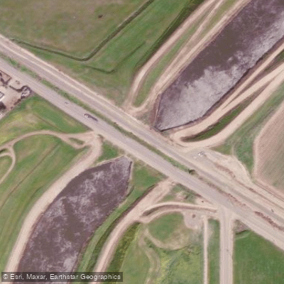
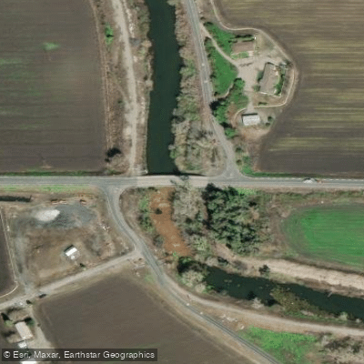
Paddle smarter with real-time insights
Whether you're en route and conditions shift or you're looking for the best spot based on current flows, we enable you to make informed decisions on the fly.








Find Places to Paddle

Over 400,000 Places to Paddle
Every user gets free access to launch points, boat ramps, and public property parcels.


Tides, wind & water conditions (10 day forecast)
On open water, wind and tide matter as much as the weather. See the best times to paddle Grant Line Canal and check the marine forecast before you launch.
Loading tide predictions…
Paddling near Grant Line Canal

San Joaquin River

Stanislaus River
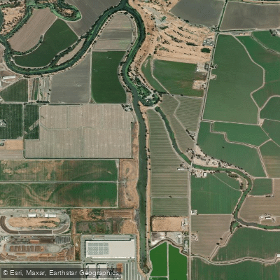
Sugar Cut

Tuolumne River

Sacramento River

Mokelumne River

Merced River
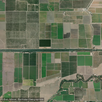
Fabian and Bell Canal
Old River
Explore California waters
Top paddling waters
Popular Cities
Loading popular cities...
Explore near Grant Line Canal
Access points
Nearby waters
More in California

Smarter Paddling Starts in the App.
Paddleways gives you everything you need to plan smarter, paddle better, and own every trip from first launch to takeout.