Weatherbee Lake
- Saltwater
- Sea area
Weatherbee Lake
- Saltwater
- Sea area
- Sq. miles
- 0
- Boat Ramps
- 0
- Access Points
- 0
- Campsites
- 1
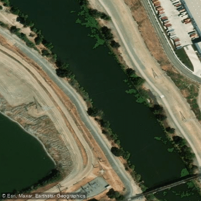
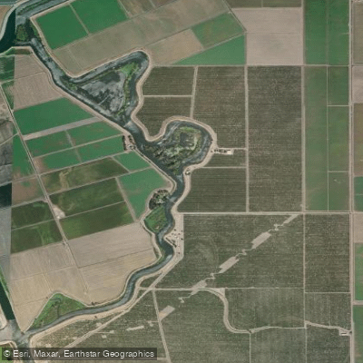
Weatherbee Lake is a water body located west of Manteca, California, within the complex river and slough system of the San Joaquin River Delta. It is situated near Waltham Slough and is approximately 2.1 kilometers from Mossdale Marina. The lake is part of a flood-prone area, as evidenced by its significant inundation during the 1997 floods, which required boat evacuations of residents. For paddlers, a primary consideration is the presence of invasive water hyacinth, which has historically impaired navigation to the point of requiring mechanical harvesting by state authorities. This aquatic plant can create dense mats that block passages and complicate paddling. The lake is in a region with ongoing levee improvement projects, such as the Manteca Dry Levee extension, aimed at providing 200-year flood protection for the surrounding area. The proximity to Mossdale Marina and Mossdale Crossing Park and Boat Ramp suggests these as potential access locations. The overall character is that of a Delta slough/lake environment, with a history of flooding and invasive species management directly impacting waterway usability. Paddlers should prepare for potential obstructions from water hyacinth, especially outside of the state's control season, and verify current conditions and any navigation advisories before departure.
Water access, boat ramps & amenities
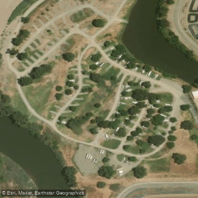
Learn how to get on Weatherbee Lake. Uncover great paddling access points, boat ramps, and all the facilities you need for an unforgettable day on the water. Some locations shown may border or include private property. Always check property boundaries and applicable regulations before visiting. PaddleWays's Public & Private Land layer can help you plan your access with confidence.
Paddle smarter with real-time insights
Whether you're en route and conditions shift or you're looking for the best spot based on current flows, we enable you to make informed decisions on the fly.








Find Places to Paddle

Over 400,000 Places to Paddle
Every user gets free access to launch points, boat ramps, and public property parcels.


Tides, wind & water conditions (10 day forecast)
On open water, wind and tide matter as much as the weather. See the best times to paddle Weatherbee Lake and check the marine forecast before you launch.
Loading tide predictions…
Paddling near Weatherbee Lake

San Joaquin River

Stanislaus River

Tuolumne River

Mokelumne River
Grant Line Canal

Sacramento River

Merced River
Sugar Cut
Old River
Explore California waters
Top paddling waters
Popular Cities
Loading popular cities...
Explore near Weatherbee Lake
Access points
Nearby waters
More in California

Smarter Paddling Starts in the App.
Paddleways gives you everything you need to plan smarter, paddle better, and own every trip from first launch to takeout.