Twitchell Reservoir
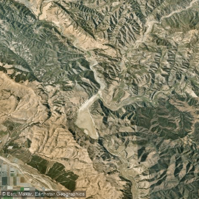
Twitchell Reservoir
- Boat Ramps
- 0
- Access Points
- 0
- Campsites
- 0
Twitchell Reservoir, located in southern San Luis Obispo County and northern Santa Barbara County, California, is a 197,756 acre-foot capacity reservoir formed by Twitchell Dam on the Cuyama River. Built between 1956 and 1958 by the U.S. Bureau of Reclamation, the dam and reservoir primarily serve flood control and water conservation purposes.
It is crucial for potential paddlers to note that there is no public access to Twitchell Reservoir or the dam. The reservoir is on private land and is not open for recreational use. This restriction severely limits any paddling opportunities on this body of water.
The reservoir's water levels fluctuate significantly due to the region's climate. The Central Coast of California receives an average of only 14 inches of rainfall annually, mostly during winter storms. Water is stored during these events and released quickly to recharge groundwater, meaning the reservoir is rarely at full capacity.
Sedimentation poses a significant challenge for Twitchell Reservoir, with fill rates 70% faster than initially projected. This issue reduces the reservoir's capacity and interferes with water control operations. Sediment management efforts, including flushing during releases, have had limited success and impact downstream water flows.
The surrounding area offers some recreational opportunities, though not directly related to the reservoir. Nearby trails include the Willow Spring Trail and Lake Ridge Trail, providing hiking options in the vicinity. The Sierra Madre scenery in the region is noted for its beauty.
Given the lack of public access and the reservoir's primary functions of flood control and water conservation, Twitchell Reservoir is not a viable destination for recreational paddling. Potential visitors should seek alternative locations for water-based activities in the region.
Water access, boat ramps & amenities
Learn how to get on Twitchell Reservoir. Uncover great paddling access points, boat ramps, and all the facilities you need for an unforgettable day on the water. Some locations shown may border or include private property. Always check property boundaries and applicable regulations before visiting. PaddleWays's Public & Private Land layer can help you plan your access with confidence.
Paddle smarter with real-time insights
Whether you're en route and conditions shift or you're looking for the best spot based on current flows, we enable you to make informed decisions on the fly.








Find Places to Paddle

Over 400,000 Places to Paddle
Every user gets free access to launch points, boat ramps, and public property parcels.


Water and weather conditions (10 day forecast)
See the best times to paddle Twitchell Reservoir and check the forecast before you go.
HUASNA R NR ARROYO GRANDE CA
Paddling near Twitchell Reservoir
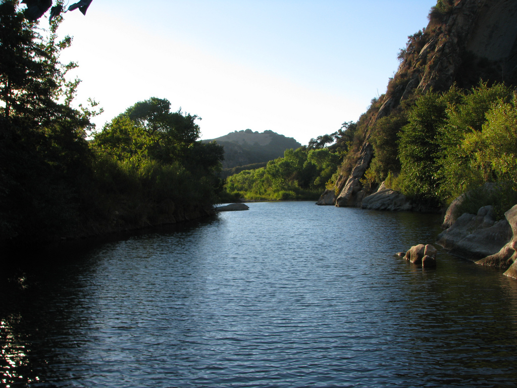
Santa Ynez River
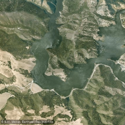
Lopez Lake
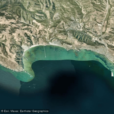
San Luis Obispo Bay
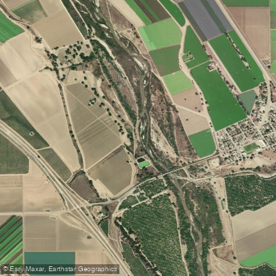
Salinas River

Estero Bay
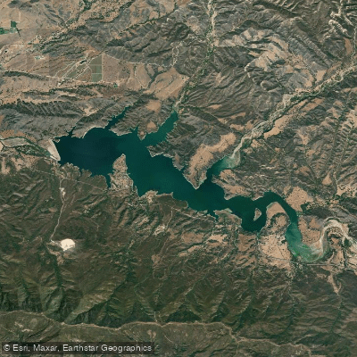
Lake Cachuma
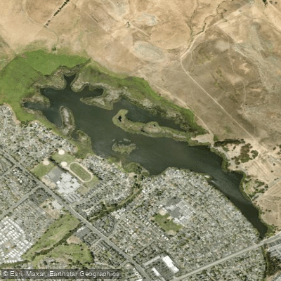
Laguna Lake
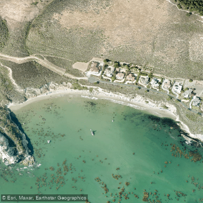
Pirates Cove
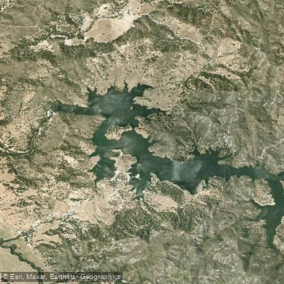
Santa Margarita Lake
Explore California waters
Top paddling waters
Popular Cities
Loading popular cities...
Explore near Twitchell Reservoir

Smarter Paddling Starts in the App.
Paddleways gives you everything you need to plan smarter, paddle better, and own every trip from first launch to takeout.