Upper McCabe Lake
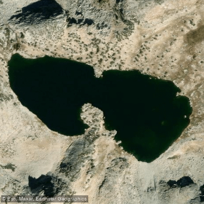
Upper McCabe Lake
- Boat Ramps
- 0
- Access Points
- 0
- Campsites
- 4
Upper McCabe Lake sits in a remote area of Yosemite National Park's wilderness, requiring significant hiking effort to access. Located at approximately 10,400 feet elevation, this alpine lake lies below Shepherd Crest and offers striking granite surroundings.
A Yosemite Wilderness permit is required for overnight stays. The lake can be reached via two main approaches: from Saddlebag Lake to the east (using a water taxi across Saddlebag Lake to reduce hiking distance) or from Tuolumne Meadows via the Glen Aulin trail and McCabe Lakes Trail. Both routes involve challenging terrain and significant elevation gain.
The lake features a rocky shoreline composed of large, blocky talus, particularly along its southern edge. The western shore provides good access points. The lake is deep enough to support a population of rainbow trout in the 1-3 pound range, suggesting substantial water depth. Wind conditions can create small waves along the shoreline, as noted by overnight campers.
The lake basin is characterized by steep granite terrain, with the impressive Shepherd Crest rising above. A large meadow lies below the lake along McCabe Creek. The surrounding landscape is a mix of rocky alpine terrain and forested slopes.
The lake was named after Edward Raynsford Warner McCabe, who married the daughter of Yosemite's acting superintendent in 1912. The name was officially approved by the Board of Geographic Names in 1962.
Important Considerations: - The lake's high elevation means rapidly changing weather conditions are common - Snow can persist well into summer on surrounding slopes - Class 2-3 terrain must be navigated to reach the lake - All wilderness regulations apply, including proper food storage (bear canisters required) - Weather can change quickly, with afternoon thunderstorms common in summer
Due to the lake's wilderness location and challenging access, visitors should check current regulations regarding watercraft use before planning any paddling activities.
Water access, boat ramps & amenities
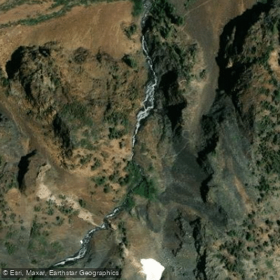
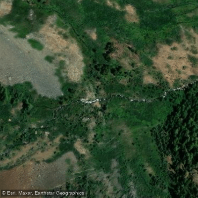
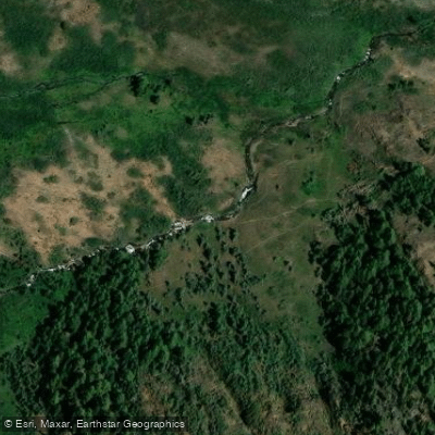
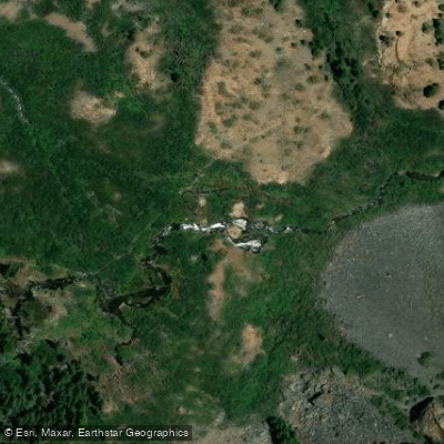
Learn how to get on Upper McCabe Lake. Uncover great paddling access points, boat ramps, and all the facilities you need for an unforgettable day on the water. Some locations shown may border or include private property. Always check property boundaries and applicable regulations before visiting. PaddleWays's Public & Private Land layer can help you plan your access with confidence.
Paddle smarter with real-time insights
Whether you're en route and conditions shift or you're looking for the best spot based on current flows, we enable you to make informed decisions on the fly.








Find Places to Paddle

Over 400,000 Places to Paddle
Every user gets free access to launch points, boat ramps, and public property parcels.


Water and weather conditions (10 day forecast)
See the best times to paddle Upper McCabe Lake and check the forecast before you go.
No forecast data available.
Paddling near Upper McCabe Lake

Tuolumne River

Merced River
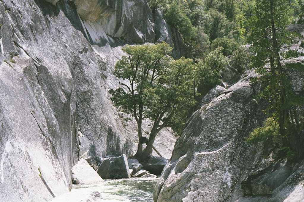
Middle Fork San Joaquin River

San Joaquin River
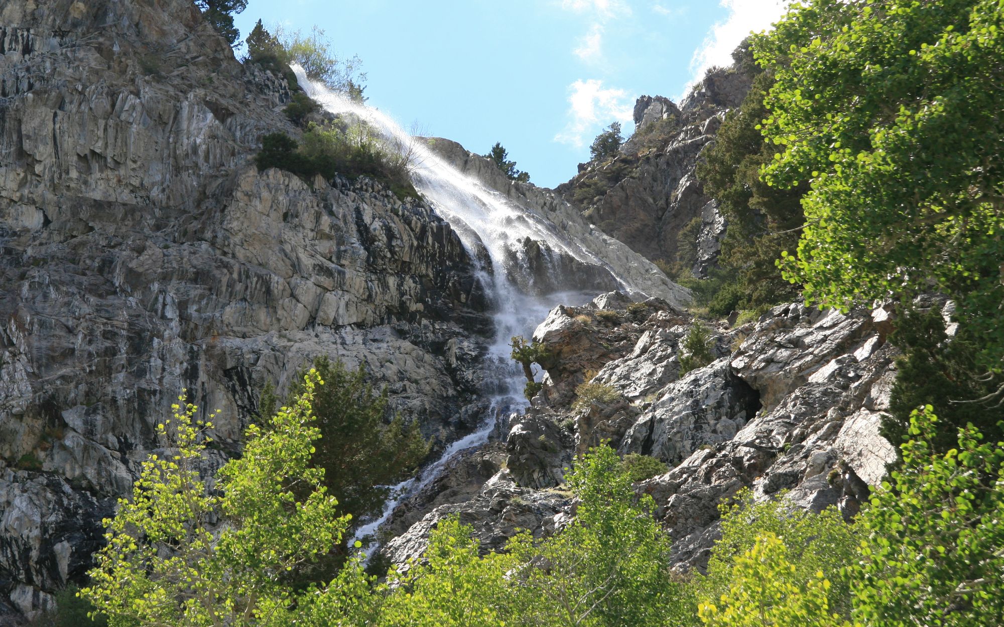
Rush Creek
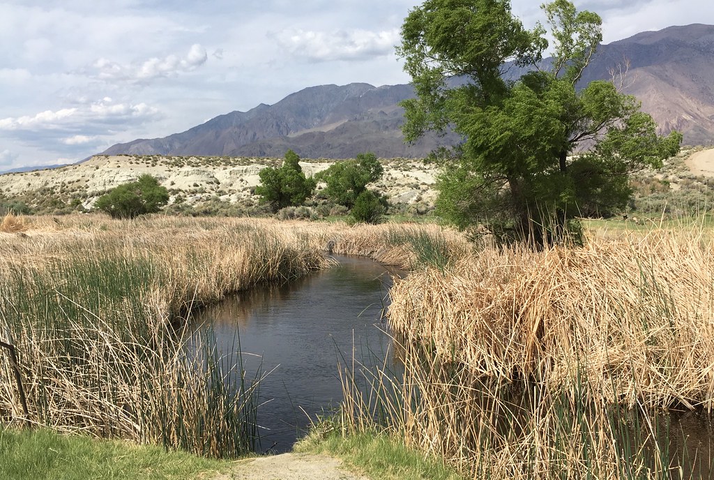
Owens River
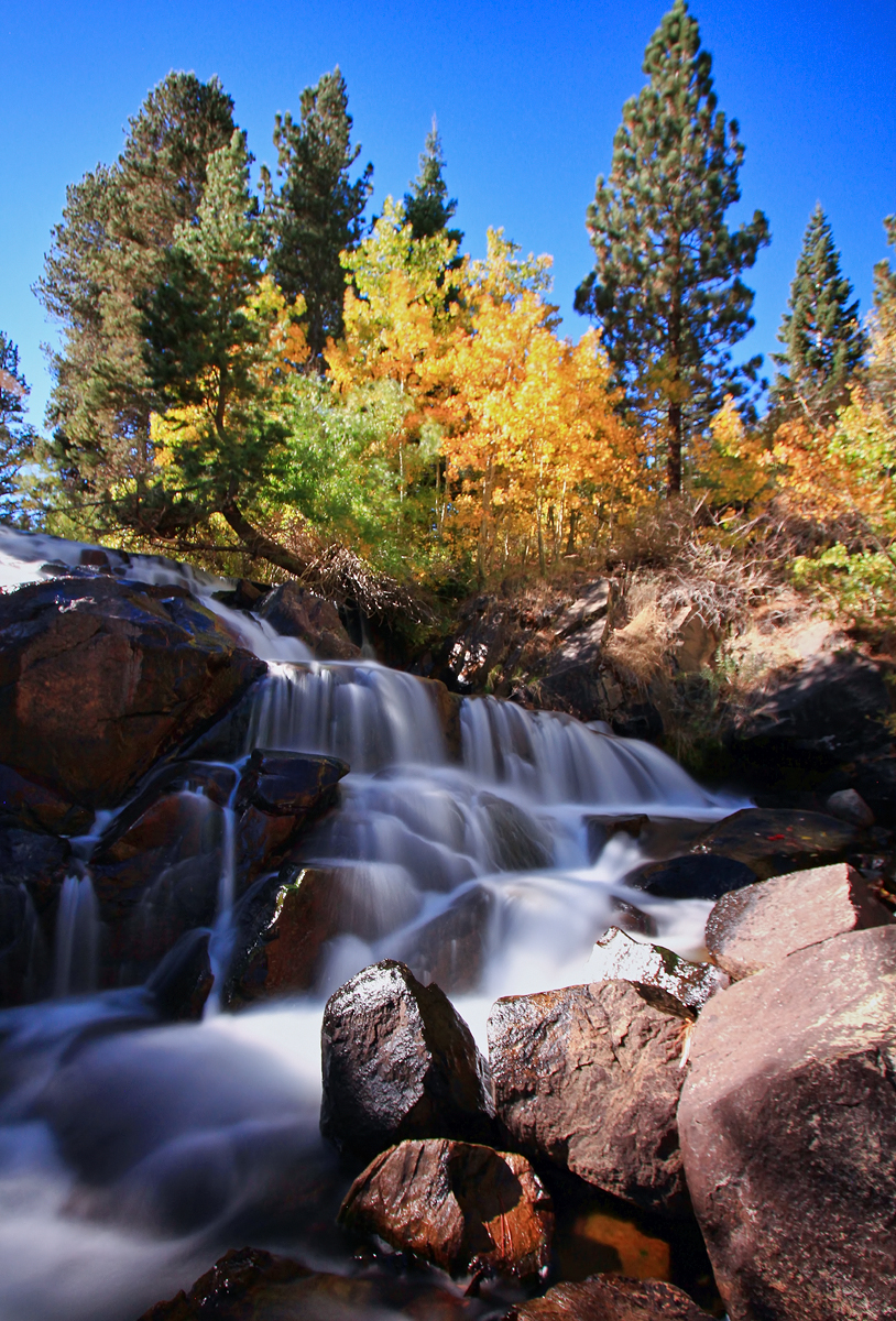
Lee Vining Creek
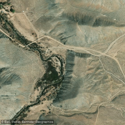
East Walker River
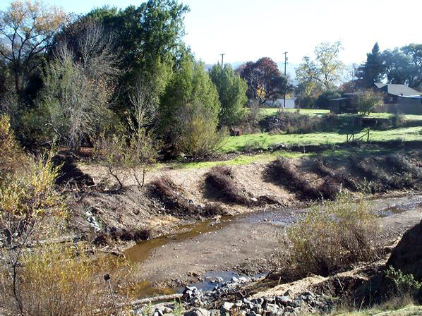
Robinson Creek
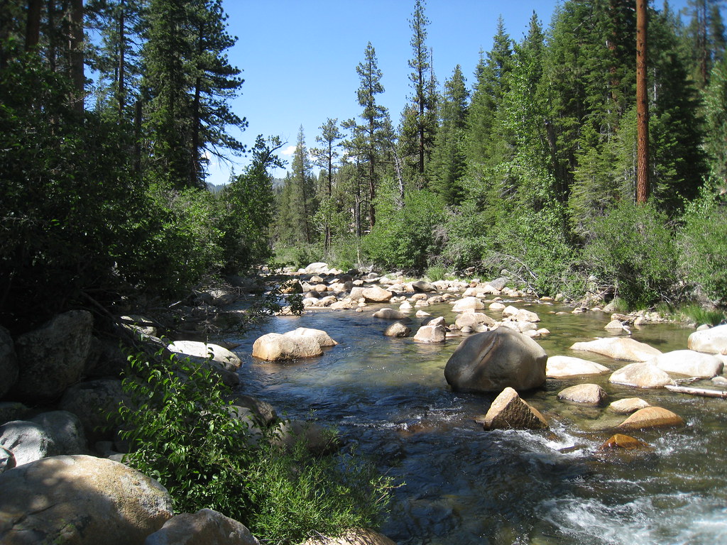
South Fork San Joaquin River
Explore California waters
Top paddling waters
Popular Cities
Loading popular cities...
Explore near Upper McCabe Lake
Access points
Nearby waters
More in California

Smarter Paddling Starts in the App.
Paddleways gives you everything you need to plan smarter, paddle better, and own every trip from first launch to takeout.