Curated by PaddleWays
RouteClass IV
- Distance
- 2.6 mi
- Paddle time
- ~0.5 hrs
- Best for
- Intermediate paddlers, experienced paddlers
- Put-in → take-out
- Put In → Take Out
Continuous Class III-IV with wood hazards
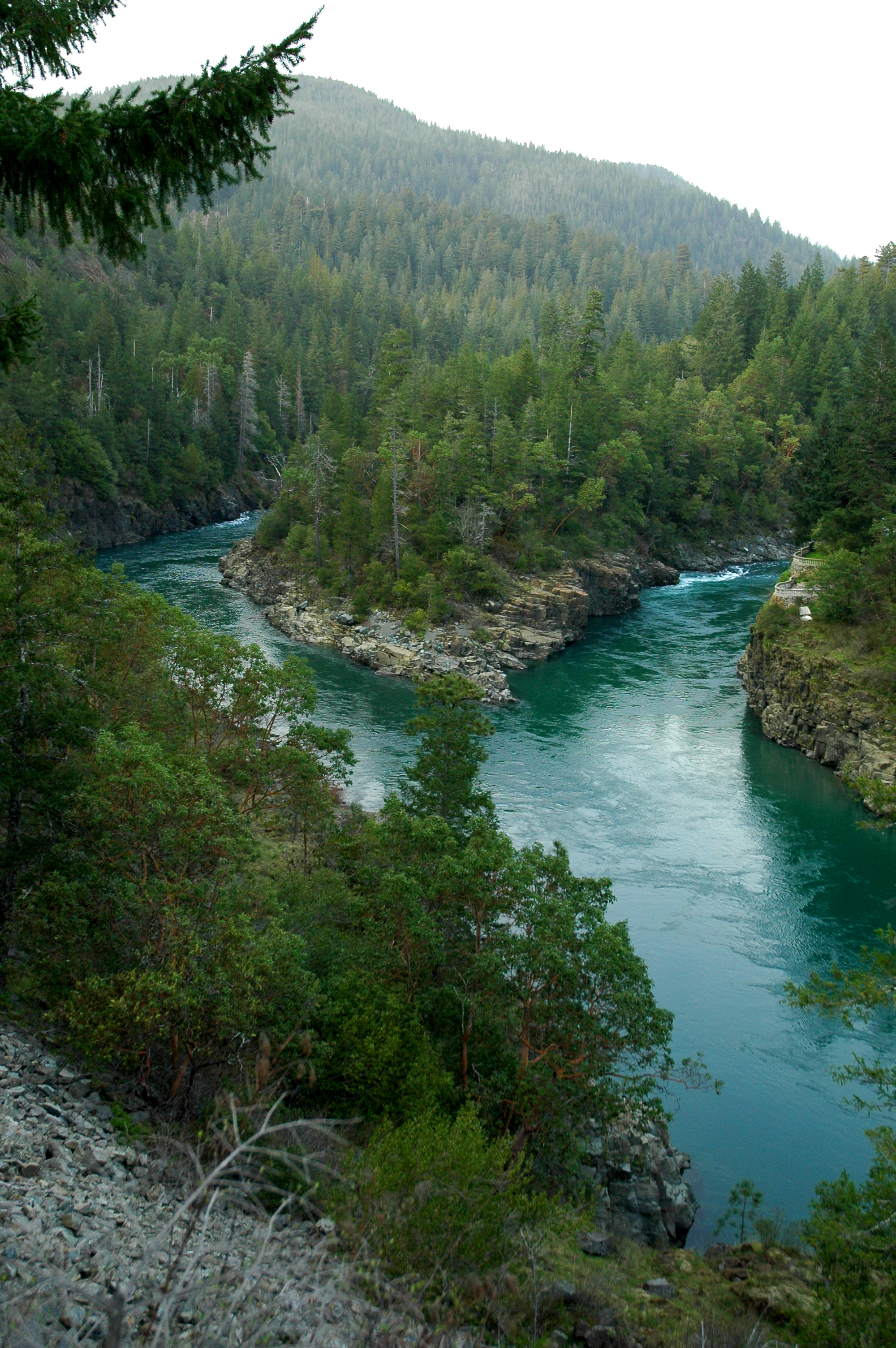
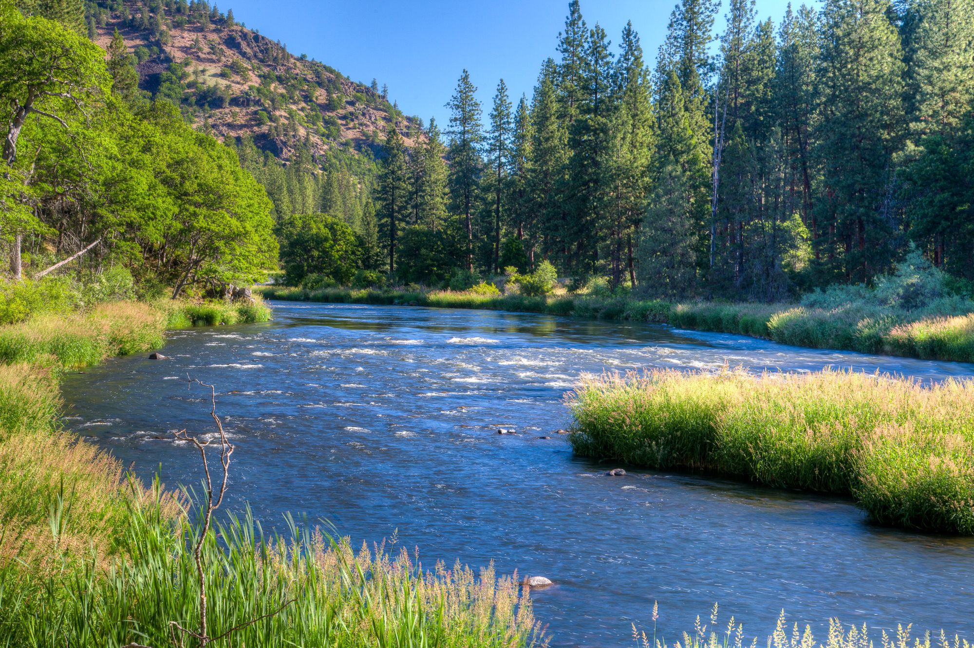
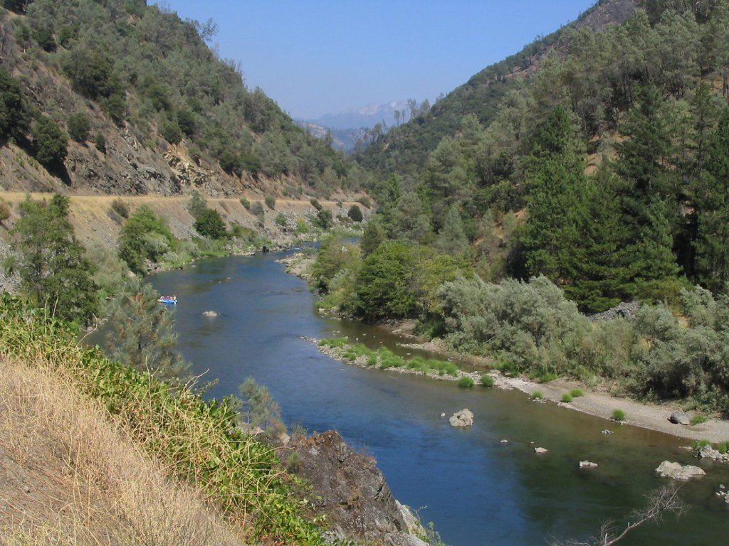
The West Fork Illinois River is a significant tributary of the Illinois River system in southwestern Oregon. It originates in the rugged Siskiyou Mountains and flows generally northward, joining with the East Fork near Cave Junction to form the main stem of the Illinois River. The West Fork and main Illinois River are part of the larger Rogue River watershed that eventually drains into the Pacific Ocean.
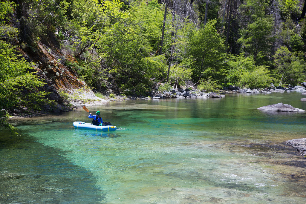
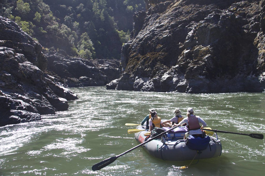
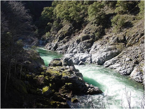
For paddlers, the West Fork offers challenging whitewater in a remote wilderness setting. The most popular section is the 19-mile Illinois River Main Run from Miami Bar to Oak Flat, featuring Class IV-V rapids through a scenic gorge. This stretch is best attempted by expert kayakers and rafters during the spring snowmelt season, typically late April to early May when flows are most reliable. The river's character changes dramatically as it descends, with the most difficult whitewater concentrated in the lower half. Key rapids include Nome Creek (III), Wallbanger (III), Prelude/Fawn Falls (IV), the infamous Green Wall (V), and Little Green Wall (IV+). Paddlers must be prepared for a remote multi-day wilderness experience with limited access and challenging conditions.
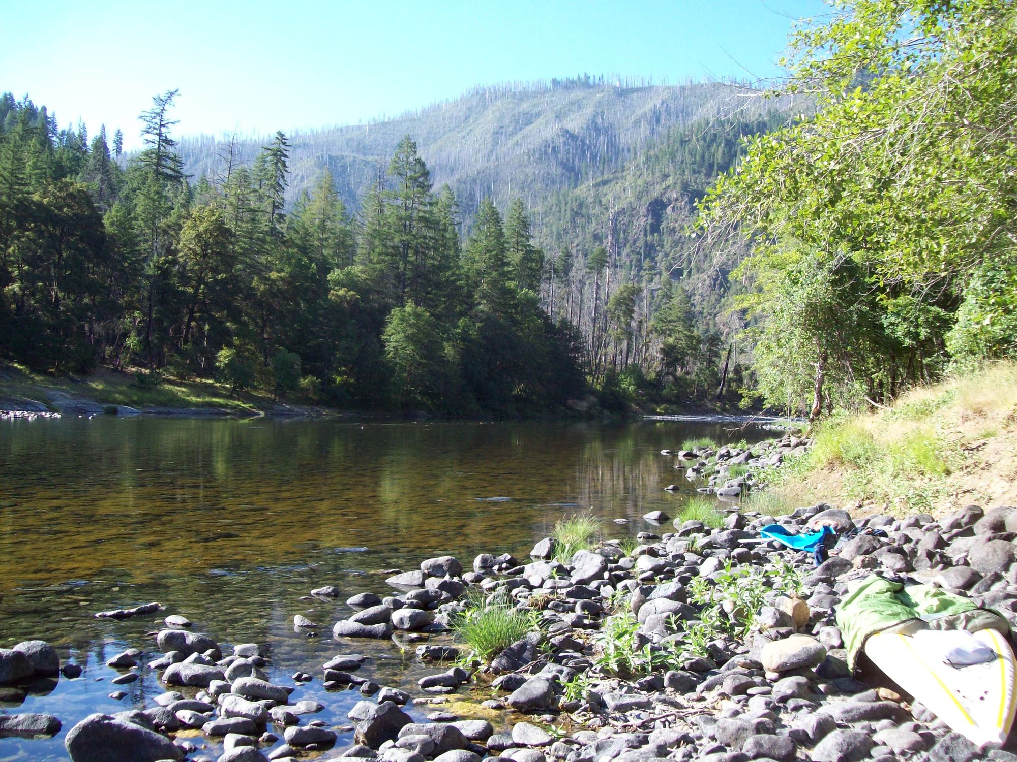
The West Fork and Illinois River corridors host diverse flora and fauna adapted to the region's unique geology and climate. Old-growth forests of Douglas fir, Port Orford cedar, and madrone line the banks, while black bears, river otters, and osprey are commonly sighted. The river's clear blue waters are home to native steelhead and cutthroat trout.
Access is limited, with the main put-in at Miami Bar and take-out at Oak Flat. The nearest town is Selma, about 30 miles east of the put-in. Multi-day trips typically take 3-4 days, with primitive campsites available along the banks.
Safety is paramount on this remote and challenging river. Paddlers must be self-sufficient and prepared for variable weather and water conditions. Scouting of major rapids is essential. The river is managed as part of the Wild and Scenic River system, with permits required for overnight trips during peak season.
The West Fork Illinois and main Illinois River hold cultural significance for local Native American tribes and played a role in early gold mining and settlement of the region. Today, it remains a prized destination for adventurous paddlers seeking a true wilderness river experience in the heart of the Siskiyou Mountains.
Curated routes
Hand-picked by the PaddleWays team, with put-ins, take-outs, paddle times and the hazards along the way.
RouteClass IV
Hazards
No paddler has reported a hazard here yet, so these are the dams, falls and big rapids on our map. Hazards change with flows and storms, so check them before you launch.
Hazard
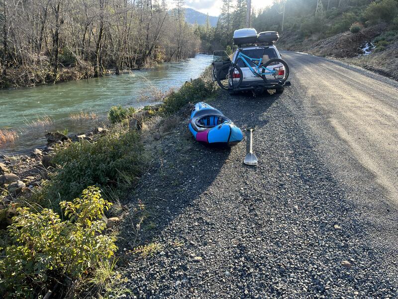
Class II Always keep an eye out for wood on this run, this spot had a riverwide log needing a portage in 2024.
From the community
Nobody has shared a trip on West Fork Illinois River yet. Paddle it, then tell the next paddler how it went.
See exactly where the public can get on and off the river. Launch points and boat ramps are paired with PaddleWays' public land data so you know where you can legally land.
Public shoreline
47%of the river's shoreline is public
Most of the riverbank is private. Launch, land and camp only at public access points.
Flows, weather and a route-by-route verdict, so you know which stretch of the West Fork Illinois River is worth paddling today.
No forecast data available.
Live flows, marked hazards and fresh trip reports from paddlers who were just on the water, all in one place.





Every user gets free access to launch points, boat ramps, and public property parcels.
Loading popular cities...
PaddleWays gives you everything you need to plan smarter, paddle better, and own every trip from first launch to takeout.