West Fork Mojave River
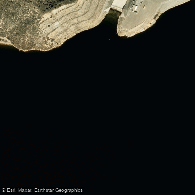
West Fork Mojave River
- Boat Ramps
- 0
- Access Points
- 2
- Campsites
- 10
The West Fork Mojave River is a 12-mile long tributary of the Mojave River, originating in the San Bernardino Mountains of Southern California. It flows northward from its headwaters near Crestline, eventually joining with Deep Creek to form the main stem of the mostly underground Mojave River. Paddling opportunities on the West Fork Mojave are limited due to its relatively short length and seasonal flow patterns. The river is more commonly enjoyed via hiking trails that parallel its course, such as the popular West Fork Mojave River Walk. This 7.3-mile loop trail offers scenic views of the river and surrounding mountain landscape.
While not known for whitewater, the West Fork does have some sections with moving water during periods of higher flow, typically in winter and spring following snowmelt or rain events. However, paddlers should be aware that water levels can fluctuate dramatically and many portions may be too shallow for boating during drier months. The river corridor supports a diverse ecosystem typical of the transition zone between mountain and desert environments. Riparian vegetation lines the banks, providing habitat for various bird species and small mammals. Hikers may encounter mule deer, coyotes, and possibly even black bears in the surrounding forest.
A key landmark along the West Fork is the Mojave Forks Dam, located at the confluence with Deep Creek. This flood control structure marks the beginning of the main Mojave River. The Pacific Crest Trail also crosses the river near this point, making it a notable waypoint for long-distance hikers. Primary access to the West Fork Mojave River is via trails and forest roads in the San Bernardino National Forest. The communities of Crestline and Lake Arrowhead serve as the nearest towns for supplies and accommodations.
Historically, the West Fork and broader Mojave River system were vital water sources for indigenous peoples of the region, including the Serrano. Today, the river plays a crucial role in groundwater recharge for the Mojave Desert basin. Visitors should be mindful of rapidly changing weather conditions in the mountains and practice Leave No Trace principles. As part of a sensitive watershed, the West Fork is subject to various regulations to protect water quality and riparian habitats.
While multi-day paddling trips are not feasible on the West Fork itself, adventurous visitors can combine a day of exploring the river with broader excursions in the San Bernardino Mountains, including hiking segments of the Pacific Crest Trail or visiting nearby Deep Creek Hot Springs.
Water access, boat ramps & amenities
Learn how to get on West Fork Mojave River. Uncover great paddling access points, boat ramps, and all the facilities you need for an unforgettable day on the water. Some locations shown may border or include private property. Always check property boundaries and applicable regulations before visiting. PaddleWays's Public & Private Land layer can help you plan your access with confidence.
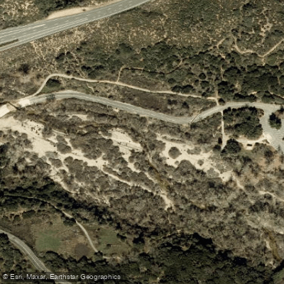
Paddle smarter with real-time insights
Whether you're en route and conditions shift or you're looking for the best spot based on current flows, we enable you to make informed decisions on the fly.








Find Places to Paddle

Over 400,000 Places to Paddle
Every user gets free access to launch points, boat ramps, and public property parcels.


Water and weather conditions (10 day forecast)
See the best times to paddle West Fork Mojave River and check the forecast before you go.
WF MOJAVE R AB MOJAVE R FORKS RES NR HESPERIA CA
Paddling near West Fork Mojave River
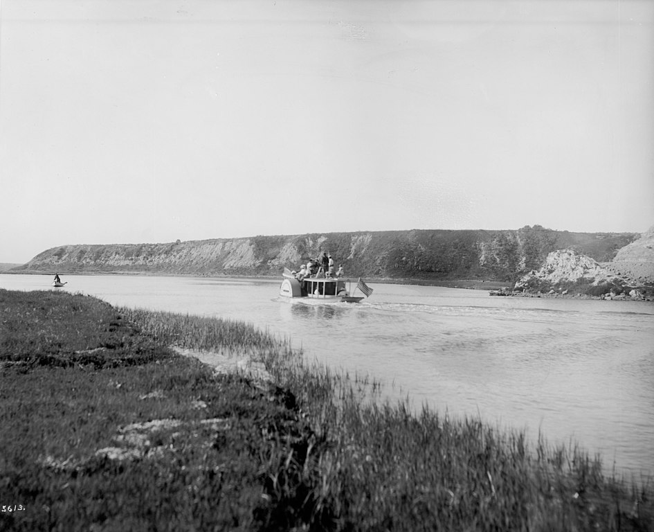
Santa Ana River
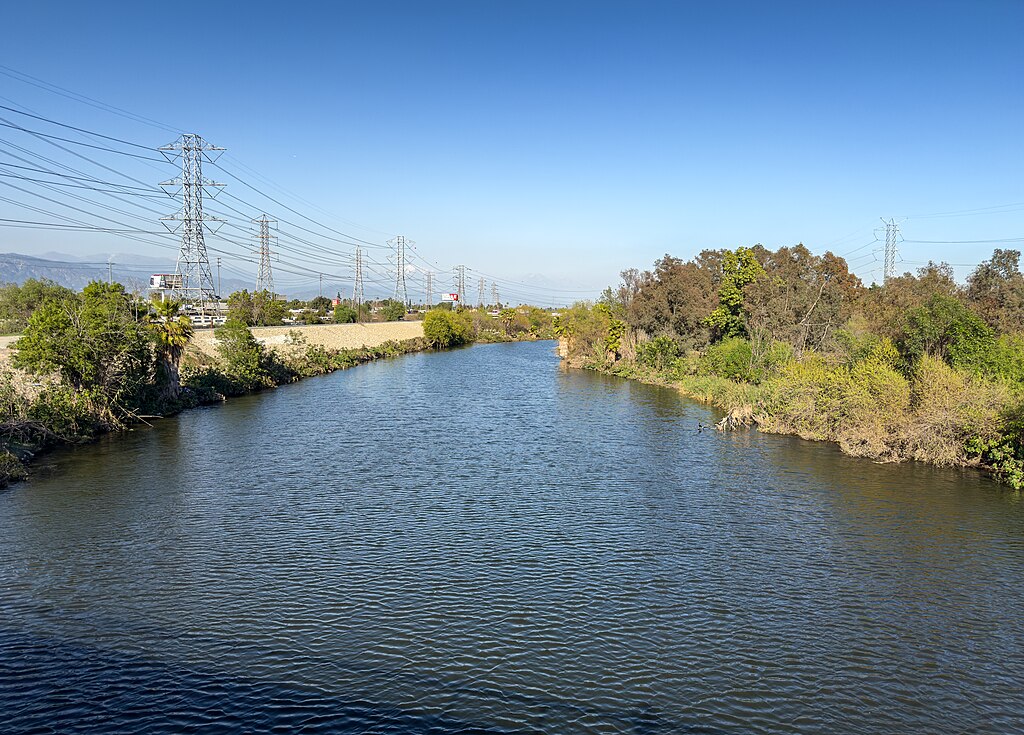
San Gabriel River
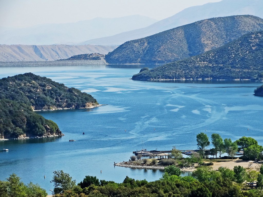
Silverwood Lake
Lake Arrowhead
Lake Gregory
Moon Lake
Deep Creek
Baldwin Lake
Perris Reservoir
Explore California waters
Top paddling waters
Popular Cities
Loading popular cities...
Explore near West Fork Mojave River
Access points
Nearby waters
More in California

Smarter Paddling Starts in the App.
Paddleways gives you everything you need to plan smarter, paddle better, and own every trip from first launch to takeout.