Branford River
- Saltwater
- Tidal river
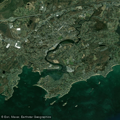
Branford River
- Saltwater
- Tidal river
- Sq. miles
- 0.3
- Boat Ramps
- 1
- Access Points
- 0
- Campsites
- 0
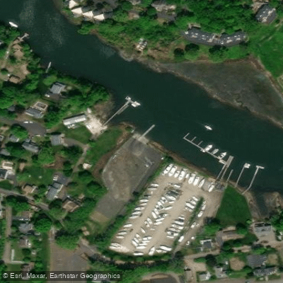
The Branford River in Connecticut is a tidal river offering a diverse paddling experience, from sheltered marshes to open harbor areas with access to Long Island Sound. The primary public access point for paddlers is the Branford River Boat Launch, a year-round, state-managed facility located at 30 Goodsell Point Road. This site features a concrete-panel boat ramp described as steep, seasonal floating docks, a gravel parking lot with 37 spaces, and seasonal chemical toilets. It is ADA accessible. Another key access point is the Branford Landing Marina at 50 Maple Street, which is the base for Branford River Paddlesports, a rental and tour operator. It is important to note that this commercial location does not allow the launch of privately owned equipment.
Paddling here is entirely governed by tidal currents and saltwater regulations. The river's character changes dramatically with the tide. At high tide, paddlers can travel upstream from the harbor, passing under several low bridges, including the Indian Neck bridge and a very low bridge at Montoweese Street with less than three feet of clearance. The current becomes noticeable, with speeds reported near 8 mph in a narrow section where an old bridge once stood. The navigable upstream limit is a tunnel under Interstate 95, reached just past high slack tide. Paddling with the outgoing tide provides assistance on the return. The lower river opens into Branford Harbor, which is subject to a slow-no-wake speed restriction north of a line from Indian Neck Point to Lovers Island. All tidal marshes and channels also have a slow-no-wake rule, and a 6 mph speed limit is enforced within 100 yards of any shore.
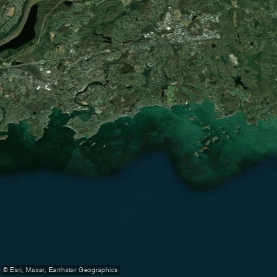
The environment transitions from a working harbor with marinas to wide marshes and finally to a narrow, wooded stream. Notable sights along the route include the Stony Creek Brewery, osprey nests on light poles and in the marshes, and grazing horses near the shore. A side trip up Pisgah Brook is possible, leading through tall phragmites. The river provides access to dozens of small islands, creeks, and coves in the adjacent Long Island Sound, including tours to the Thimble Islands archipelago. The area is known for abundant wildlife, particularly osprey. The overall experience is suitable for beginners comfortable with basic strokes, but attention must be paid to tidal timing, low bridge clearances, and potential boat traffic in the harbor channels.
Water access, boat ramps & amenities
Learn how to get on Branford River. Uncover great paddling access points, boat ramps, and all the facilities you need for an unforgettable day on the water. Some locations shown may border or include private property. Always check property boundaries and applicable regulations before visiting. PaddleWays's Public & Private Land layer can help you plan your access with confidence.
Paddle smarter with real-time insights
Whether you're en route and conditions shift or you're looking for the best spot based on current flows, we enable you to make informed decisions on the fly.








Find Places to Paddle

Over 400,000 Places to Paddle
Every user gets free access to launch points, boat ramps, and public property parcels.


Tides, wind & water conditions (10 day forecast)
On open water, wind and tide matter as much as the weather. See the best times to paddle Branford River and check the marine forecast before you launch.
Loading tide predictions…
Paddling near Branford River

Housatonic River

Connecticut River
The Thimbles
Naugatuck River
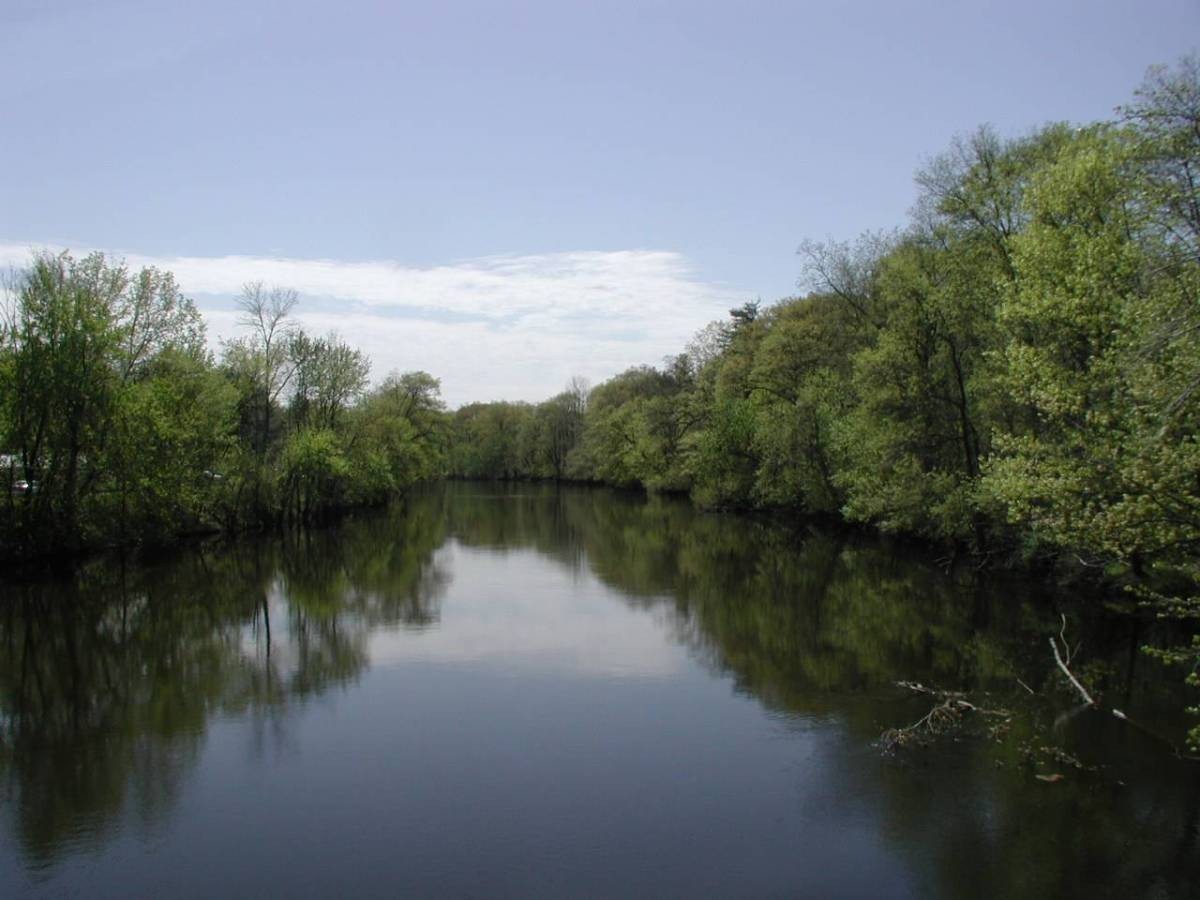
Farmington River
Morris Cove
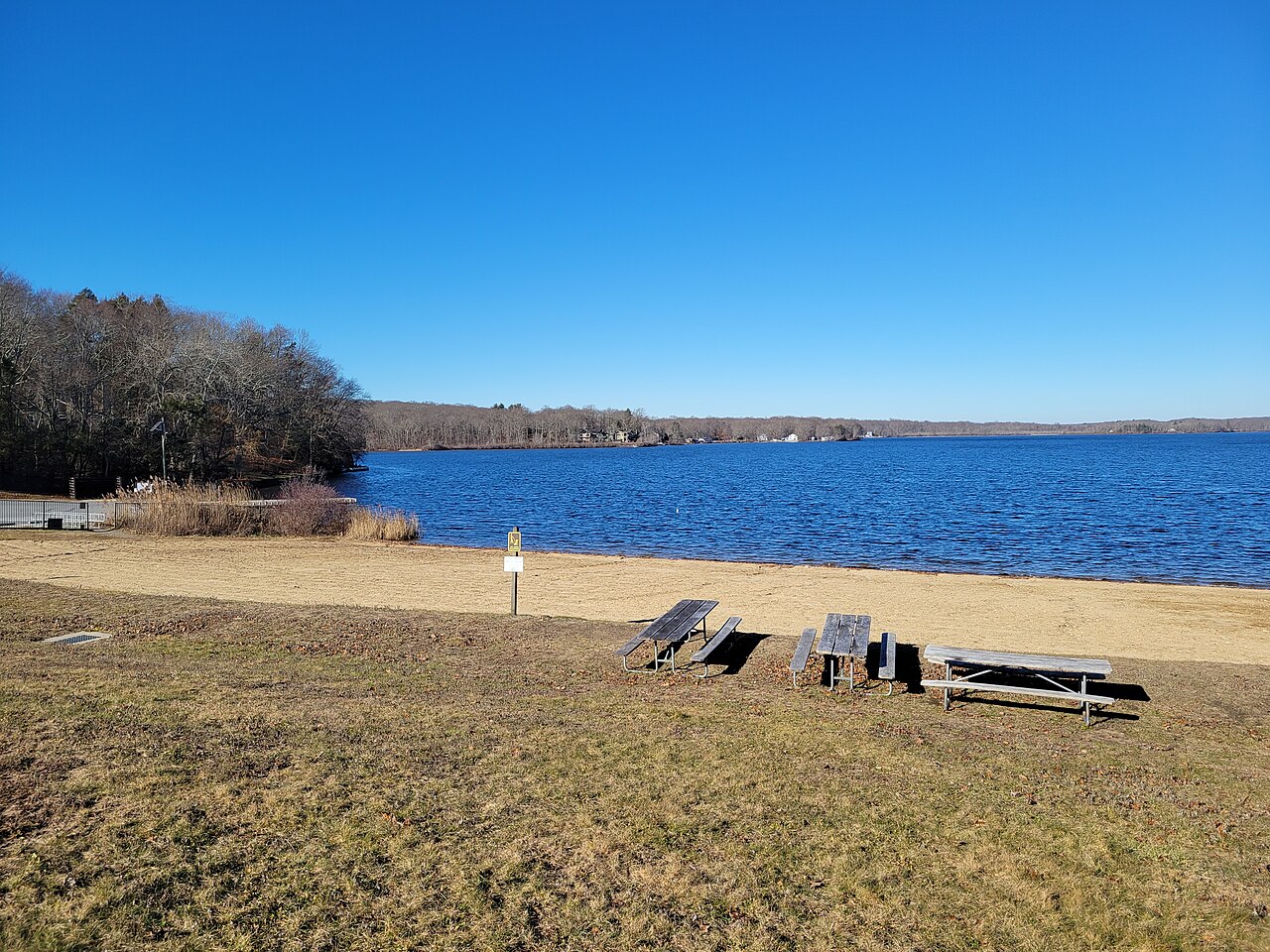
Gardner Lake
Peconic River

Croton River
Explore Connecticut waters
Top paddling waters
Popular Cities
Loading popular cities...
Explore near Branford River
Access points
Nearby waters
More in Connecticut

Smarter Paddling Starts in the App.
Paddleways gives you everything you need to plan smarter, paddle better, and own every trip from first launch to takeout.