Bridgeport Harbor
- Saltwater
- Harbor
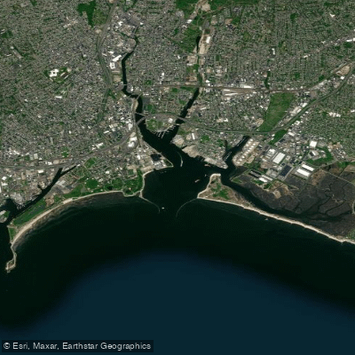
Bridgeport Harbor
- Saltwater
- Harbor
- Sq. miles
- 0.7
- Boat Ramps
- 1
- Access Points
- 0
- Campsites
- 0
Bridgeport Harbor is a significant saltwater harbor on the Connecticut coast, part of a larger waterfront area undergoing redevelopment into a destination. The harbor's character is industrial and maritime, with a working waterfront that includes a major deep-water port and marinas. Primary public launch points include a ramp at the end of Newfield Avenue with on-street parking and no fee, and the larger, fee-based launch at the western end of Seaside Park in Black Rock Harbor, which is adjacent to Bridgeport Harbor. Another no-fee launch is located at the end of Brewster Street in Black Rock Harbor. The harbor is exposed to wind and weather from Long Island Sound, and paddlers must be highly aware of substantial commercial and recreational boat traffic, particularly when crossing the main channels. Navigation is marked, with the Bridgeport Harbor Light (LLNR 12583) being a key green lighthouse at the harbor entrance. Within the harbor, boaters can anchor just south/southwest of red nun buoy "2" at the entrance to Johnsons Creek. The area offers dining options like Captain's Cove Seaport in Black Rock Harbor, which provides a dock-and-dine opportunity. Notable sights from the water include the Steelpointe Peninsula, the historic Freeman houses, and the city's evolving waterfront. The surrounding area features cultural attractions such as the Barnum Museum and Beardsley Zoo.
Water access, boat ramps & amenities
Learn how to get on Bridgeport Harbor. Uncover great paddling access points, boat ramps, and all the facilities you need for an unforgettable day on the water. Some locations shown may border or include private property. Always check property boundaries and applicable regulations before visiting. PaddleWays's Public & Private Land layer can help you plan your access with confidence.
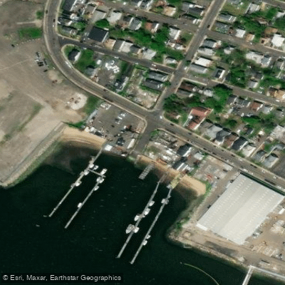
Paddle smarter with real-time insights
Whether you're en route and conditions shift or you're looking for the best spot based on current flows, we enable you to make informed decisions on the fly.








Find Places to Paddle

Over 400,000 Places to Paddle
Every user gets free access to launch points, boat ramps, and public property parcels.


Tides, wind & water conditions (10 day forecast)
On open water, wind and tide matter as much as the weather. See the best times to paddle Bridgeport Harbor and check the marine forecast before you launch.
Loading tide predictions…
Paddling near Bridgeport Harbor

Housatonic River
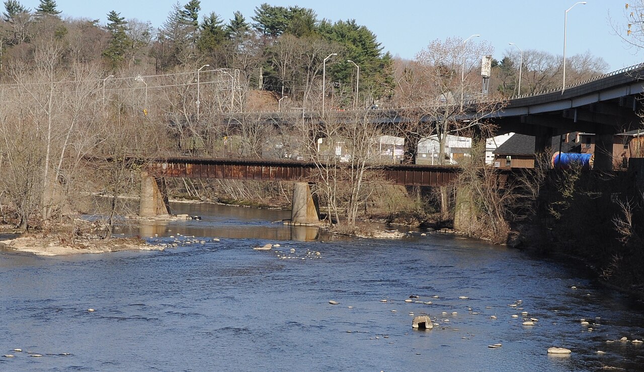
Naugatuck River
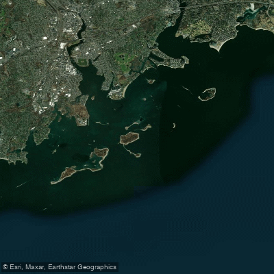
Norwalk Islands

Hudson River

Connecticut River
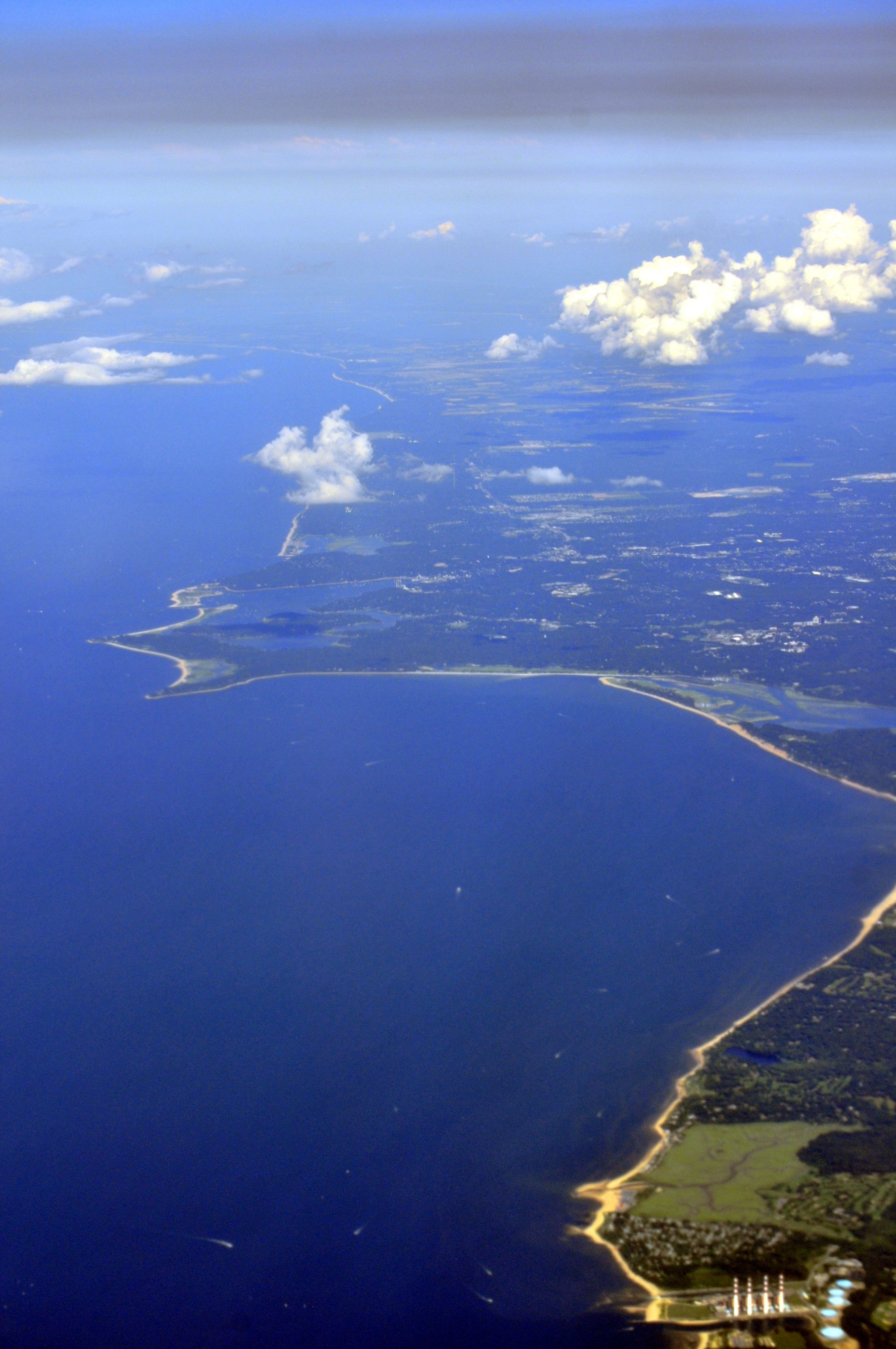
Smithtown Bay

Croton River
Peconic River
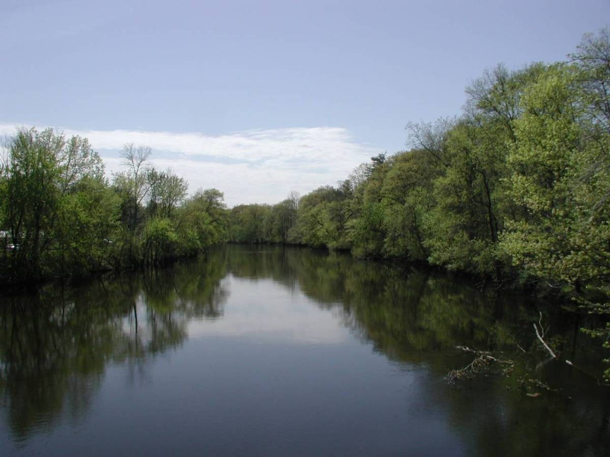
Farmington River
Explore Connecticut waters
Top paddling waters
Popular Cities
Loading popular cities...
Explore near Bridgeport Harbor
Access points
Nearby waters
More in Connecticut

Smarter Paddling Starts in the App.
Paddleways gives you everything you need to plan smarter, paddle better, and own every trip from first launch to takeout.