Curated by PaddleWays
RouteClass I–II
- Distance
- 1.3 mi
- Paddle time
- ~0.5 hrs
- Best for
- Beginners, intermediate paddlers
- Put-in → take-out
- Summer Hill Road Access → Green Hill Road Access
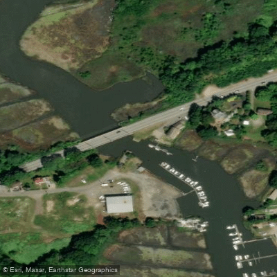
The Hammonasset River is a scenic 21-mile waterway located in south-central Connecticut, flowing from its headwaters near North Madison to Clinton Harbor on Long Island Sound. This diverse river offers paddlers a range of experiences, from gentle whitewater in its upper reaches to serene flatwater as it approaches the coast.
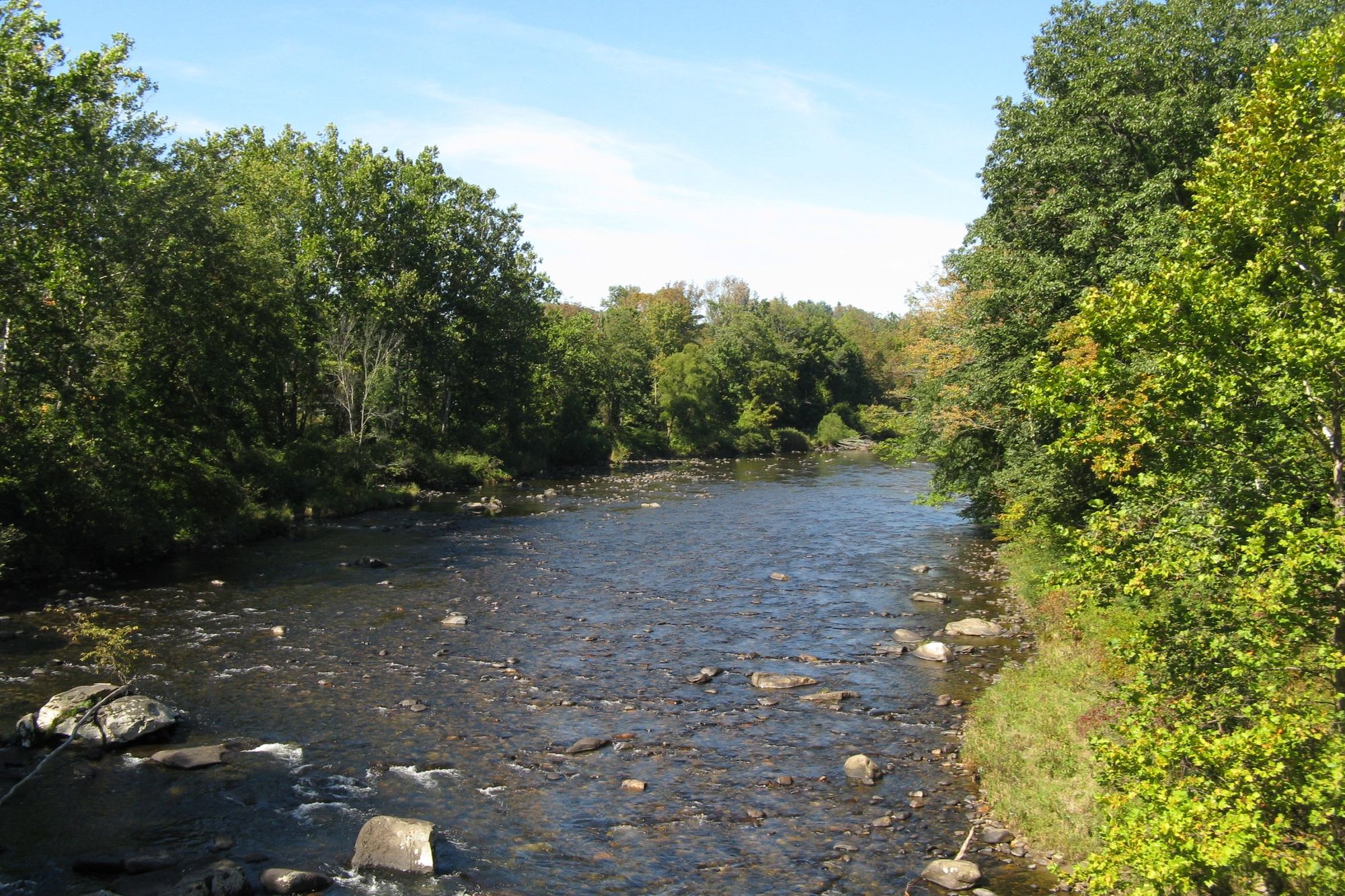
The upper section of the Hammonasset, particularly the 2-mile stretch from Summer Hill Road to Green Hill Road, provides Class I-II rapids suitable for beginner to intermediate paddlers. This segment is part of a popular 10-mile paddling route that showcases the river's changing character.
As the river continues south, it transitions to flatwater, making it ideal for novice paddlers and families. For those seeking a longer adventure, the full 21-mile journey from North Madison to Clinton Harbor offers a comprehensive tour of the river's ecosystems and surrounding landscapes. Along the way, paddlers will pass under several bridges, including Route 1 and I-95, as the river gradually widens approaching the coast.
The lower Hammonasset River and Clinton Harbor area are particularly popular for kayaking and stand-up paddleboarding. This section provides excellent opportunities for wildlife observation and enjoying the natural beauty of Connecticut's coastline. Tidal influences become significant in this area, so paddlers should be aware of tide schedules, especially when planning return trips upstream.
For nature enthusiasts, the Meigs Point Nature Center in Hammonasset Beach State Park offers guided canoe trips. These two-hour round-trip adventures, typically available on summer Wednesdays and Saturdays, provide insight into the river's history, wildlife, and ecology. It's an excellent opportunity for families and individuals to learn about the local ecosystem while enjoying a scenic paddle.
The best time to paddle the Hammonasset River is generally from late spring through early fall when water levels are most favorable and temperatures are comfortable. However, the lower sections can be enjoyed year-round, weather permitting.
Wildlife along the river is abundant and diverse. Paddlers may encounter various bird species, turtles, and fish. The river's ecosystem transitions from freshwater to estuarine as it nears Long Island Sound, providing habitat for a wide range of flora and fauna.
Key access points include Summer Hill Road in North Madison, Green Hill Road, and Clinton Harbor. The town of Clinton serves as a gateway to the river's mouth, offering amenities and services for paddlers. Nearby Hammonasset Beach State Park provides additional recreational opportunities and camping facilities.
Safety considerations include being aware of water levels in the upper sections and tidal influences in the lower river. As always, wearing a personal flotation device is essential. Paddlers should also be mindful of bridge clearances and potential boat traffic near Clinton Harbor.
Whether you're seeking a short, scenic flatwater paddle or a full-day adventure combining easy rapids and coastal exploration, the Hammonasset River offers a quintessential Connecticut paddling experience, showcasing the state's natural beauty from inland to shore.
Curated routes
Hand-picked by the PaddleWays team, with put-ins, take-outs, paddle times and the hazards along the way.
RouteClass I–II
RouteClass I–II
Hazards
No paddler has reported a hazard here yet, so these are the dams, falls and big rapids on our map. Hazards change with flows and storms, so check them before you launch.
From the community
Nobody has shared a trip on Hammonasset River yet. Paddle it, then tell the next paddler how it went.
See exactly where the public can get on and off the river. Launch points and boat ramps are paired with PaddleWays' public land data so you know where you can legally land.
Public shoreline
0%of the river's shoreline is public
Most of the riverbank is private. Launch, land and camp only at public access points.
Flows, weather and a route-by-route verdict, so you know which stretch of the Hammonasset River is worth paddling today.
No forecast data available.
Live flows, marked hazards and fresh trip reports from paddlers who were just on the water, all in one place.





Every user gets free access to launch points, boat ramps, and public property parcels.
Loading popular cities...
PaddleWays gives you everything you need to plan smarter, paddle better, and own every trip from first launch to takeout.