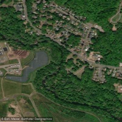
Curated by PaddleWays
RouteFlatwater
- Distance
- 5.5 mi
- Paddle time
- 2–3 hrs
- Best for
- Beginners, families
- Put-in → take-out
- Quinnipiac River Public Access Boat Ramp → Cheshire Access
Carpenter's Dam portage required on left bank
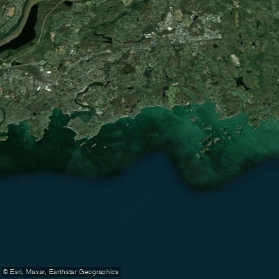
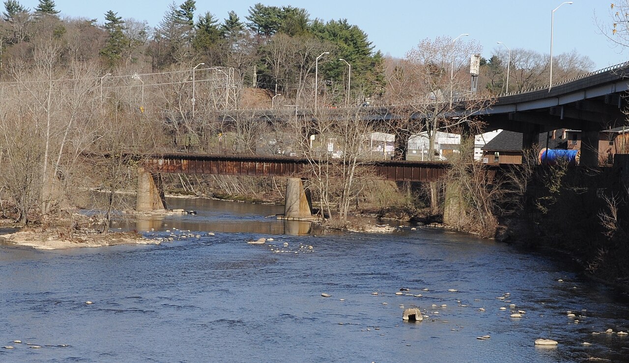
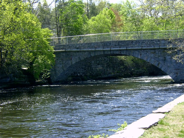
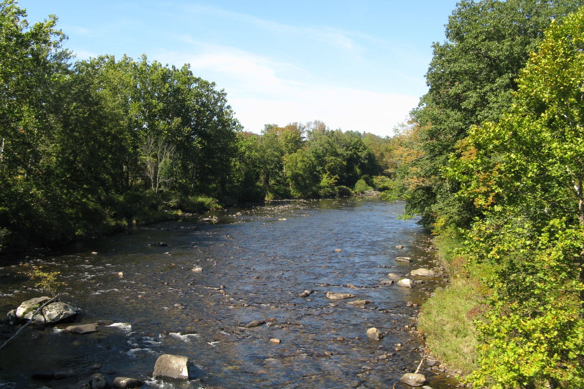
The Quinnipiac River is a 45.5-mile long waterway flowing entirely within Connecticut. Originating near the Southington-Plainville town line, it meanders south through central Connecticut before emptying into New Haven Harbor and Long Island Sound. The river's watershed covers approximately 166 square miles. Paddlers can enjoy several distinct sections of the Quinnipiac, each offering unique experiences.
The upper reaches from Southington to Cheshire provide a pleasant 3.5-mile flatwater paddle suitable for beginners and families. Moving downstream, the 5.5-mile stretch from Wallingford to North Haven offers scenic views of Connecticut's landscape. The lower 6-mile tidal section from North Haven to New Haven winds through salt marshes, providing excellent wildlife viewing opportunities.
Overall, the Quinnipiac is primarily a flatwater river, with difficulty ranging from easy to moderate depending on water levels and tidal influences. Basic paddling skills are sufficient for most sections, though awareness of tidal patterns is crucial in the lower reaches. Spring and fall are ideal paddling seasons, with higher water levels and comfortable temperatures. Summer can be enjoyable but may require more portaging in shallow upper sections. The tidal lower river is navigable year-round, though winter paddling requires cold-water gear and experience.
The river corridor hosts diverse flora and fauna, including great blue herons, ospreys, and various waterfowl. The Quinnipiac River Marsh Wildlife Management Area is a highlight for birdwatchers and nature enthusiasts. Key access points include Route 322 in Southington, Toelles Road in Wallingford, and Sackett Point Road in North Haven. The river passes through or near several towns, including Meriden, Wallingford, North Haven, and New Haven, offering multiple put-in and take-out options.
Historically, the Quinnipiac played a significant role in the region's development, supporting Native American settlements and later becoming an important transportation and industrial corridor. Today, it serves as a valuable recreational resource and ecological habitat.
Paddlers should be aware of occasional dams requiring portage, particularly in the upper sections. In tidal areas, timing trips with the tides is crucial for easier paddling and avoiding getting stranded in mud flats. Always check water levels and weather conditions before embarking, and be prepared for changing conditions, especially in the tidal zone. While primarily suited for day trips, ambitious paddlers could potentially string together multi-day adventures by camping at designated sites or arranging lodging in riverside towns. However, such trips require careful planning due to limited established campsites along the river.
Curated routes
Hand-picked by the PaddleWays team, with put-ins, take-outs, paddle times and the hazards along the way.
RouteFlatwater
RouteFlatwater
RouteFlatwater
Hazards
No paddler has reported a hazard here yet, so these are the dams, falls and big rapids on our map. Hazards change with flows and storms, so check them before you launch.
From the community
Nobody has shared a trip on Quinnipiac River yet. Paddle it, then tell the next paddler how it went.
See exactly where the public can get on and off the river. Launch points and boat ramps are paired with PaddleWays' public land data so you know where you can legally land.
Public shoreline
0%of the river's shoreline is public
Most of the riverbank is private. Launch, land and camp only at public access points.
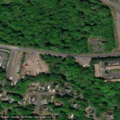
Boat Ramp
Boat Ramp
Flows, weather and a route-by-route verdict, so you know which stretch of the Quinnipiac River is worth paddling today.
All Flow Stations
Live flows, marked hazards and fresh trip reports from paddlers who were just on the water, all in one place.





Every user gets free access to launch points, boat ramps, and public property parcels.
Loading popular cities...
PaddleWays gives you everything you need to plan smarter, paddle better, and own every trip from first launch to takeout.





