Curated by PaddleWays
RouteFlatwater
- Distance
- 22.1 mi
- Paddle time
- ~7.5 hrs
- Put-in → take-out
- Wooster Mountain State Park Access → Saugatuck River Boat Ramp
The Saugatuck River originates in the hills of Ridgefield, Connecticut and flows southward for approximately 20 miles through Redding, Weston, and Westport before emptying into Long Island Sound. This tidal estuary river system drains a watershed of about 90 square miles in southwestern Connecticut. Paddling opportunities on the Saugatuck range from placid flatwater sections to tidal areas influenced by Long Island Sound. The William Doc Skerlick Trout Management Area in Westport offers a scenic 2-mile stretch popular with fly fishermen. Downstream, the river widens as it approaches the coast, creating excellent conditions for sea kayaking. Most sections are suitable for beginner to intermediate paddlers, with difficulty increasing near the river mouth due to tidal currents and boat traffic. The lower Saugatuck is best paddled at high tide for easier navigation.
Spring and fall offer ideal paddling conditions, while summer can bring heavy recreational boat traffic. The river supports diverse wildlife, including osprey, great blue herons, and migratory waterfowl. Brown trout and striped bass are prized catches for anglers. Tidal marshes near the mouth provide important habitat for coastal species.
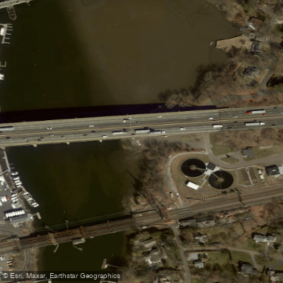
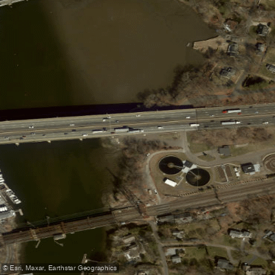
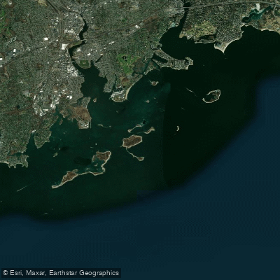
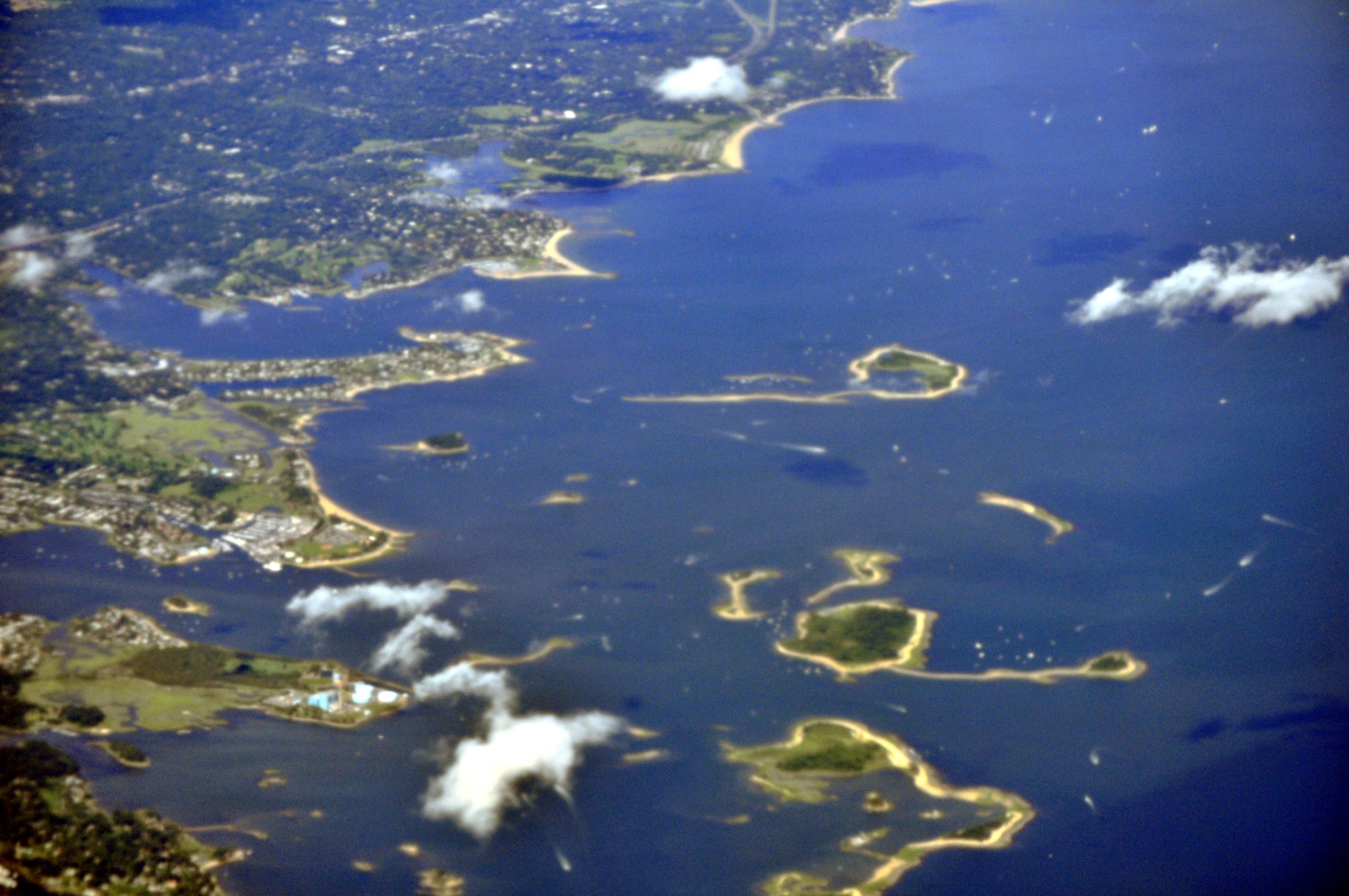
Key landmarks include the Dorr's Mill Dam, I-95 bridge, and Westport Harbor. Cockenoe Island and Sprite Island offer scenic destinations for sea kayakers venturing into Long Island Sound. The Saugatuck's shores are dotted with impressive waterfront homes. Primary access points include the state boat launch under I-95 in Westport and Compo Beach for coastal paddling. The towns of Westport and Saugatuck provide convenient nearby services.
Historically, the Saugatuck powered mills and served as a transportation route. Today it's valued for recreation and as an ecological resource. A 5 mph speed limit is enforced on much of the lower river to protect the shoreline and wildlife. For multi-day trips, paddlers can explore the Norwalk Islands chain, using the Saugatuck as a starting point. Proper planning for tides and open water conditions is essential for extended coastal excursions.
Curated routes
Hand-picked by the PaddleWays team, with put-ins, take-outs, paddle times and the hazards along the way.
RouteFlatwater
Hazards
No paddler has reported a hazard here yet, so these are the dams, falls and big rapids on our map. Hazards change with flows and storms, so check them before you launch.
From the community
Nobody has shared a trip on Saugatuck River yet. Paddle it, then tell the next paddler how it went.
See exactly where the public can get on and off the river. Launch points and boat ramps are paired with PaddleWays' public land data so you know where you can legally land.
Public shoreline
1%of the river's shoreline is public
Most of the riverbank is private. Launch, land and camp only at public access points.
Flows, weather and a route-by-route verdict, so you know which stretch of the Saugatuck River is worth paddling today.
All Flow Stations
Live flows, marked hazards and fresh trip reports from paddlers who were just on the water, all in one place.





Every user gets free access to launch points, boat ramps, and public property parcels.

Loading popular cities...
PaddleWays gives you everything you need to plan smarter, paddle better, and own every trip from first launch to takeout.