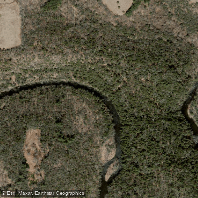
Curated by PaddleWays
RouteClass II–III
- Distance
- 3.1 mi
- Paddle time
- ~1 hr
- Put-in → take-out
- Bee Brook Road Access → Steep Rock Access
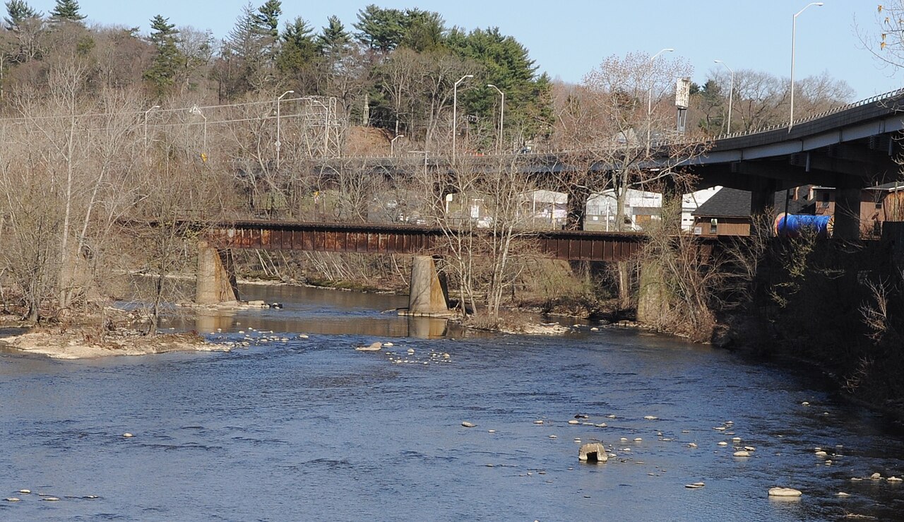
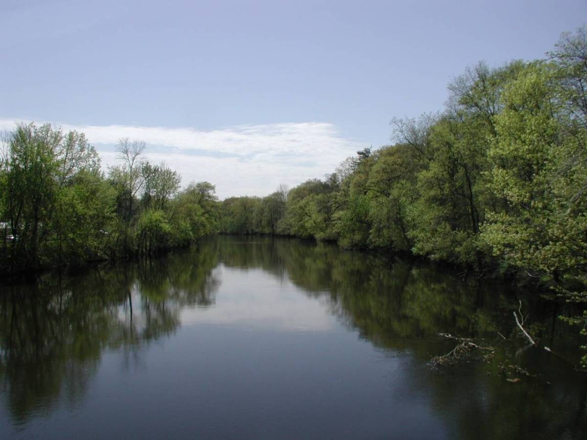
The Shepaug River, a scenic waterway in northwestern Connecticut, offers paddlers a diverse range of experiences as it winds through the picturesque Litchfield County landscape. This tributary of the Housatonic River stretches approximately 26 miles, flowing through the towns of Warren, Washington, Roxbury, and Southbury. Known for its natural beauty, the Shepaug River is characterized by its forested banks, rocky terrain, and relatively undeveloped surroundings.
Paddlers can enjoy several stretches of whitewater, ranging from Class I to III rapids, making it suitable for both beginners and more experienced kayakers and canoeists. The river is typically divided into several popular sections for paddling. The upper reaches, from Valley Road to Bee Brook Road, offer a challenging Class II-III whitewater experience with numerous rocks and potential strainers. The middle section, from Bee Brook Road to Steep Rock Reservation, provides a mix of Class II-III rapids through a scenic forested landscape. The lower section, from Steep Rock Reservation to Hodge Park, continues the whitewater adventure with Class II-III rapids and beautiful surroundings.
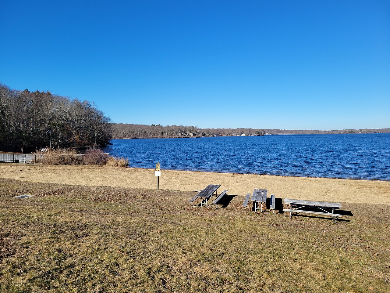
For those seeking a more relaxed experience, the flatwater section near Lake Lillinonah offers a peaceful paddle suitable for beginners and families. This stretch, from the Route 133 State Boat Launch to the Shepaug Dam, provides opportunities for wildlife viewing and scenic vistas.
The Shepaug River is best paddled in early spring when snowmelt provides adequate water levels, typically above 100 cfs at the Woodville gauge. Summer and fall can offer pleasant paddling experiences, but water levels may be lower, requiring more technical maneuvering around rocks and obstacles.
Wildlife enthusiasts may spot a variety of birds, including bald eagles, along the river's course. The surrounding forests are home to diverse flora, creating a lush backdrop for paddling adventures.
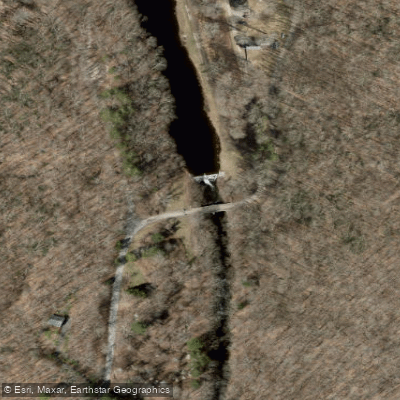
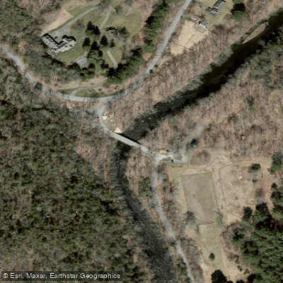
Notable landmarks along the Shepaug include the Hidden Valley Preserve, featuring the picturesque Van Sinderson loop trail and a suspension bridge over the river. Steep Rock Reservation offers hiking trails that complement paddling trips, allowing visitors to explore the area from both water and land.
Access points are available in several towns, including Washington Depot, Roxbury, and Bridgewater. The river's proximity to these charming New England towns adds to its appeal, offering opportunities for post-paddle exploration and refreshments.
Historically, the Shepaug River played a role in the region's industrial development, powering mills and small factories. Today, it serves as a valuable recreational resource and an important part of the local ecosystem.
Safety considerations include being aware of strainers, particularly in the upper sections, and checking water levels before paddling. Wearing appropriate safety gear, including helmets for whitewater sections, is strongly recommended.
While multi-day trips are less common on the Shepaug due to its length, paddlers often combine sections for full-day adventures or incorporate the river into longer Housatonic River trips. The Shepaug River's combination of whitewater challenges, scenic beauty, and accessibility make it a cherished destination for paddlers in Connecticut, offering a true New England river experience just a short drive from major urban centers.
Curated routes
Hand-picked by the PaddleWays team, with put-ins, take-outs, paddle times and the hazards along the way.
RouteClass II–III
RouteClass II–III
RouteClass II–III
RouteClass II–III
Hazards
No paddler has reported a hazard here yet, so these are the dams, falls and big rapids on our map. Hazards change with flows and storms, so check them before you launch.
From the community
Nobody has shared a trip on Shepaug River yet. Paddle it, then tell the next paddler how it went.
See exactly where the public can get on and off the river. Launch points and boat ramps are paired with PaddleWays' public land data so you know where you can legally land.
Public shoreline
0%of the river's shoreline is public
Most of the riverbank is private. Launch, land and camp only at public access points.
Flows, weather and a route-by-route verdict, so you know which stretch of the Shepaug River is worth paddling today.
All Flow Stations
Live flows, marked hazards and fresh trip reports from paddlers who were just on the water, all in one place.





Every user gets free access to launch points, boat ramps, and public property parcels.

Loading popular cities...
PaddleWays gives you everything you need to plan smarter, paddle better, and own every trip from first launch to takeout.