Curated by PaddleWays
RouteFlatwater
- Distance
- 0.8 mi
- Paddle time
- ~0.5 hrs
- Put-in → take-out
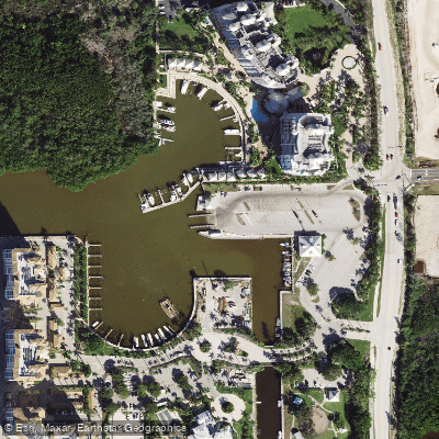
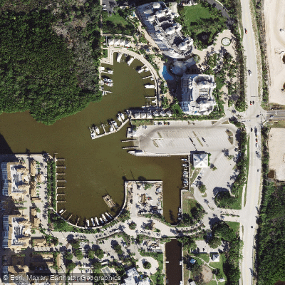
- Cocohatchee River Park Marina Boat Ramp → Cocohatchee River Park Marina
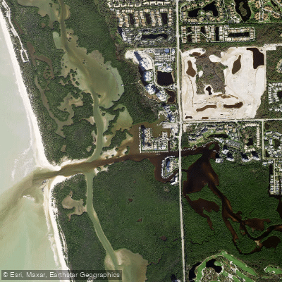
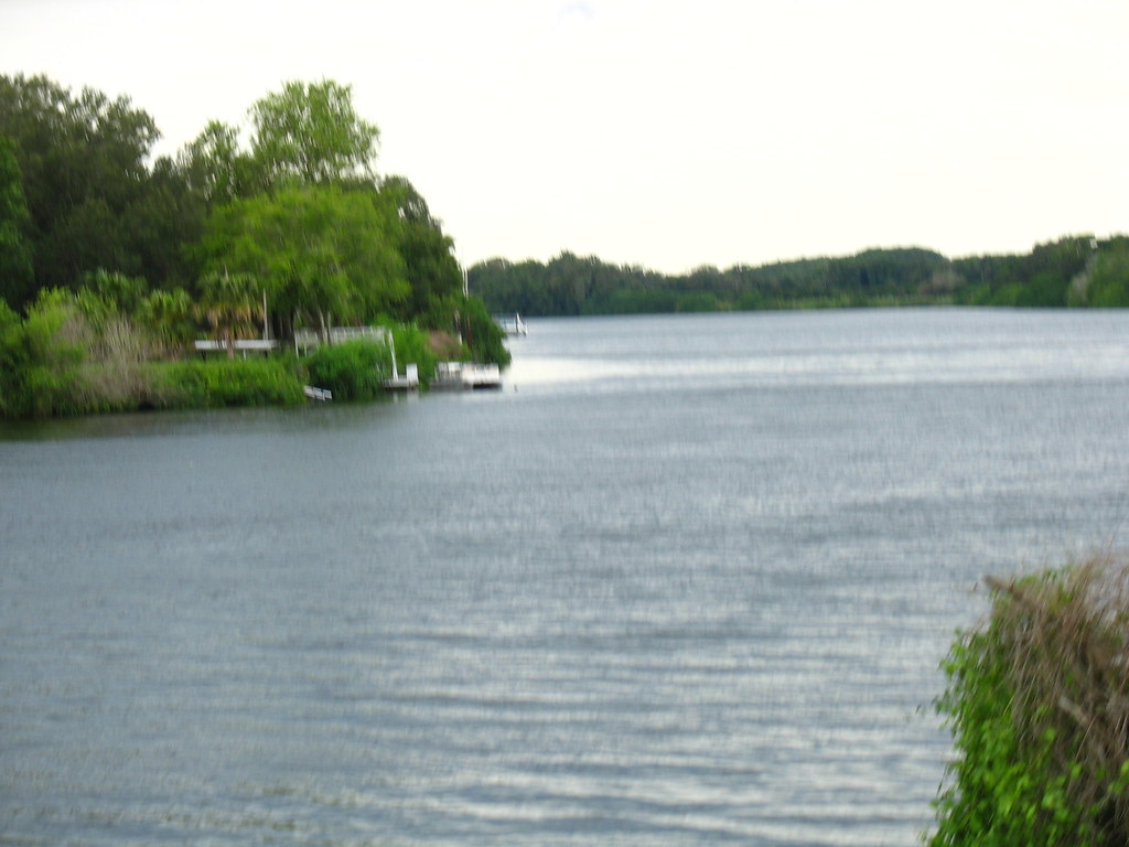
The Cocohatchee River is a tidal saltwater river in Naples, Florida, providing access to mangrove backwaters and the Gulf of Mexico through Wiggins Pass. The primary public access for paddlers is Cocohatchee River Park, located at 13531 Vanderbilt Drive, which features a substantial boat ramp facility with four launching lanes, ample vehicle and trailer parking, and restrooms. A launch fee is required, with one source indicating $8. Another key launch point is the AWE Marina, also known as All Water Excursions, at 12345 Tamiami Trail N, which offers rentals and charges a $10 fee for launching personal kayaks. Paddling here is a coastal experience dominated by tidal currents, not river flow. The river leads through a pristine mangrove ecosystem, featuring tunnels and glassy waters, before opening into Little Hickory Bay and eventually the Gulf. The area is known for wildlife sightings, including dolphins, herons, and sea turtles. A popular guided tour route includes a stop at Barefoot Beach for shell collecting and views of the Gulf. Given the connection to Wiggins Pass and the Gulf of Mexico, paddlers must be prepared for significant boat traffic, especially near the marina and the pass, and should plan their trips around the tide schedule to paddle with the current. Wind exposure and fetch can increase in the open bays. The water is saltwater and the region enjoys warm weather year-round, with sunset tours being a popular option. Facilities at the main park include fuel sales, restrooms, and a picnic area, and the park is open from sunrise to sunset.
Curated routes
Hand-picked by the PaddleWays team, with put-ins, take-outs, paddle times and the hazards along the way.
RouteFlatwater
Hazards
No hazards are marked on Cocohatchee River yet. That is not the same as none being there: if you find one, report it for the next paddler.
From the community
Real trips from PaddleWays paddlers: which route they ran, how the water was, and what to watch for.
Loading trip reports
PaddleWays paddler
Cocohatchee River Park Marina Boat Ramp to Cocohatchee River Park Marina
Pretty views that ends at a beach
Where to get on and off Cocohatchee River: launch points, boat ramps and bridges.
On open water, wind and tide matter as much as the weather. See the best times to paddle Cocohatchee River and check the marine forecast before you launch.
Loading tide predictions…
Live flows, marked hazards and fresh trip reports from paddlers who were just on the water, all in one place.





Every user gets free access to launch points, boat ramps, and public property parcels.
Loading popular cities...
PaddleWays gives you everything you need to plan smarter, paddle better, and own every trip from first launch to takeout.