Crooked River
Crooked River
- Boat Ramps
- 0
- Access Points
- 0
- Campsites
- 4
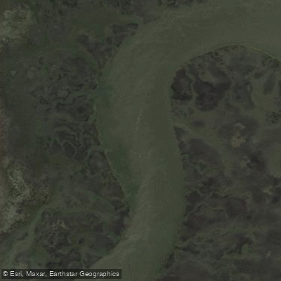
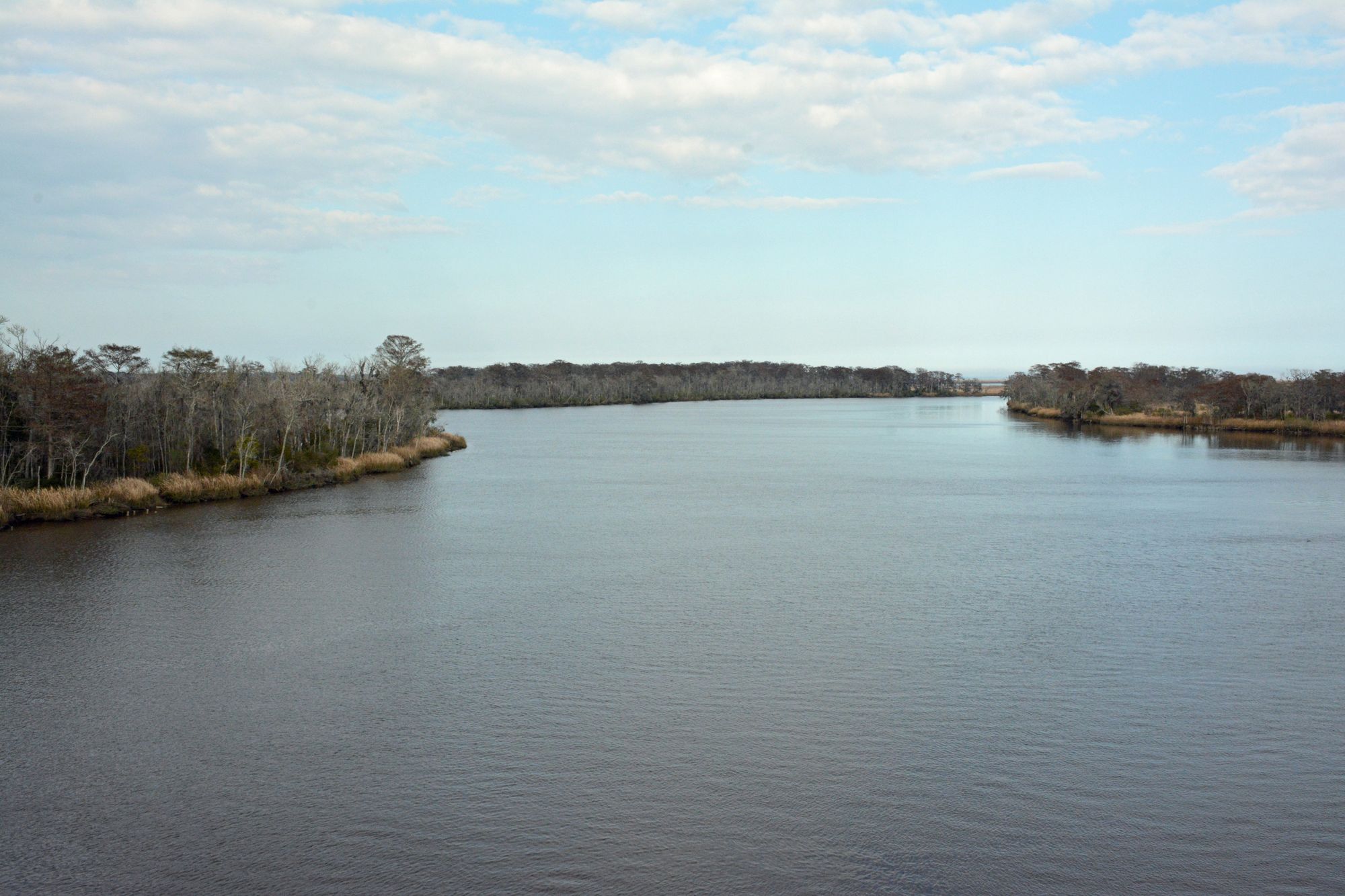
The Crooked River is a tidal waterway located in southeastern Georgia, flowing generally eastward through coastal marshlands before emptying into the Cumberland Sound near the Atlantic Ocean. This river system forms part of the boundary between Camden County, Georgia and Nassau County, Florida near its mouth.
Paddling opportunities on the Crooked River are primarily flatwater experiences heavily influenced by tidal cycles. The river offers several popular kayaking trails ranging from 4-8 miles in length, all centered around Crooked River State Park. The Cherry Point Kayak Paddle Trail is a scenic 4-mile loop through coastal marshes and past driftwood-covered beaches. Longer routes include the 6-mile Harrietts Bluff Trail and the 8-mile Grover Island Trail.
While designated as flatwater, paddling the Crooked River requires careful planning around tides and is not recommended for beginners without proper instruction. Launches should be timed 90 minutes to 2.5 hours before high tide, allowing paddlers to ride the outgoing tide back to their starting point. The best paddling season is typically spring through fall when temperatures are milder.
The river's ecosystem supports diverse wildlife including wading birds, alligators, and the threatened gopher tortoise. Paddlers may spot bald eagles, ospreys, and various species of herons and egrets. The surrounding maritime forests feature live oaks draped with Spanish moss.
Crooked River State Park serves as the primary access point and offers camping, cottages, and a boat ramp. The park is located near the town of St. Marys, Georgia. From here, experienced paddlers can make the challenging 6-mile one-way journey to Cumberland Island National Seashore, timing their trip with the tides.
Historically, the Crooked River was used by Native Americans and early European settlers for transportation and fishing. Today, it plays a vital role in the region's ecology and offers visitors a unique way to experience Georgia's coastal environment.
Safety considerations include being aware of tidal changes, potential alligator encounters, and changeable weather conditions. Paddlers should carry plenty of water, sun protection, and insect repellent. Multi-day trips are possible by combining routes or paddling to Cumberland Island, where camping requires advance permits from the National Park Service.
Water access, boat ramps & amenities
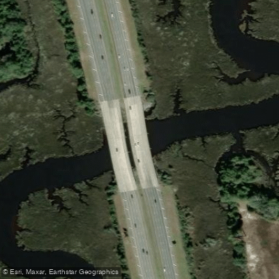
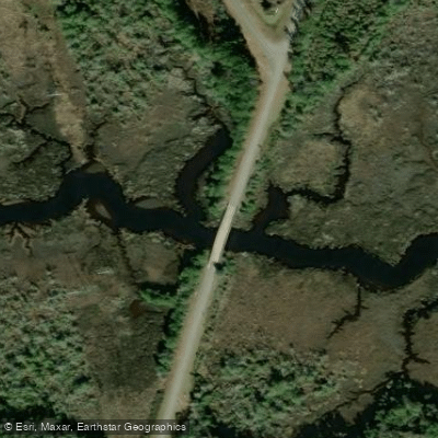
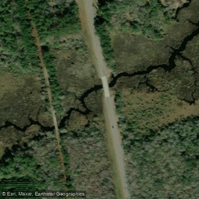
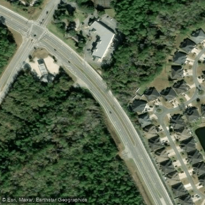
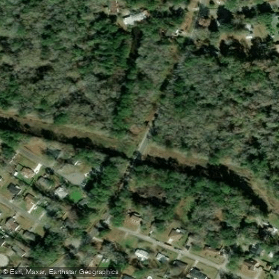
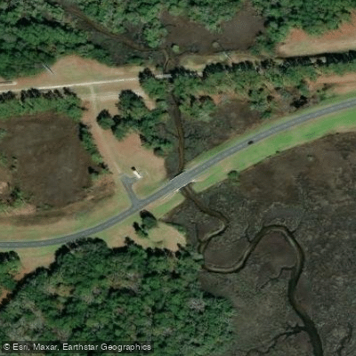
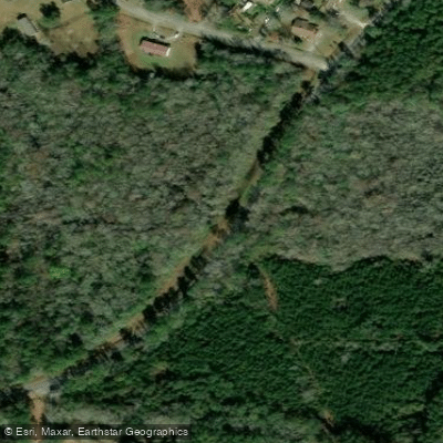
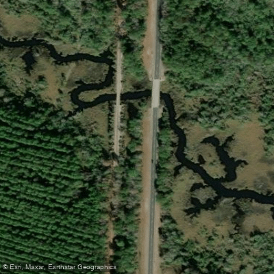
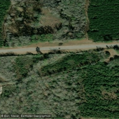
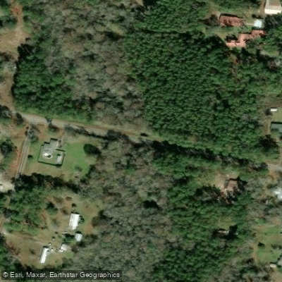
Learn how to get on Crooked River. Uncover great paddling access points, boat ramps, and all the facilities you need for an unforgettable day on the water. Some locations shown may border or include private property. Always check property boundaries and applicable regulations before visiting. PaddleWays's Public & Private Land layer can help you plan your access with confidence.
Paddle smarter with real-time insights
Whether you're en route and conditions shift or you're looking for the best spot based on current flows, we enable you to make informed decisions on the fly.








Find Places to Paddle

Over 400,000 Places to Paddle
Every user gets free access to launch points, boat ramps, and public property parcels.


Water and weather conditions (10 day forecast)
See the best times to paddle Crooked River and check the forecast before you go.
No forecast data available.
Paddling near Crooked River

Saint Johns River
Altamaha River
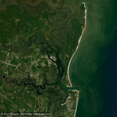
Cumberland Sound
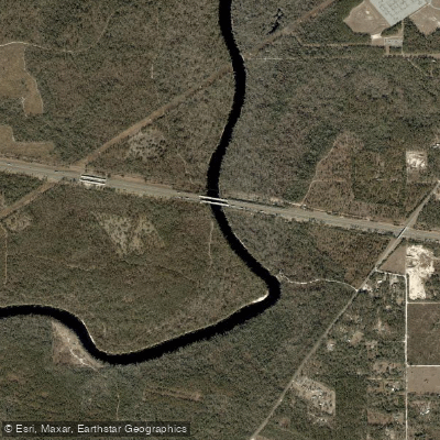
Suwannee River
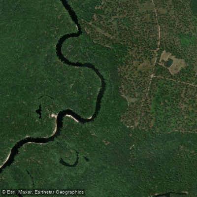
Saint Marys River
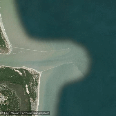
Saint Marys Entrance
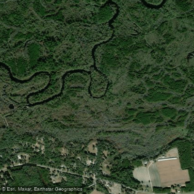
Satilla River
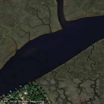
Nassau River
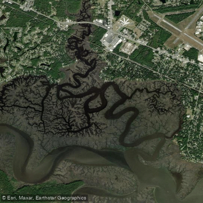
Burrells Creek
Explore Georgia waters
Top paddling waters
Popular Cities
Loading popular cities...
Explore near Crooked River
Access points
Nearby waters
More in Georgia

Smarter Paddling Starts in the App.
Paddleways gives you everything you need to plan smarter, paddle better, and own every trip from first launch to takeout.