Saint Marys Entrance
- Saltwater
- Sea area
Saint Marys Entrance
- Saltwater
- Sea area
- Sq. miles
- 3.8
- Boat Ramps
- 0
- Access Points
- 0
- Campsites
- 2
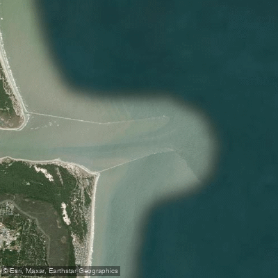
Saint Marys Entrance is a sound at the mouth of the Saint Marys River, forming a tidal inlet that connects the Cumberland Sound and the Intracoastal Waterway to the Atlantic Ocean. It is located on the border of Camden County, Georgia, and Nassau County, Florida. This is a coastal marine environment where paddling conditions are dominated by tides, winds, and significant commercial and recreational boat traffic. The entrance channel is being narrow, with exposed riprap lining one side. A public boat launch ramp is situated on the port side when entering from the sea, providing a primary access point for paddlers. This area is exposed to open ocean conditions, meaning paddlers must be prepared for potential surf at the ocean entrance, significant wind fetch across the water, and strong tidal currents that flow through the constricted inlet. The timing of tides is critical; planning to paddle with the tidal flow is advisable, and crossing the marked navigation channel requires extreme caution due to vessel traffic. The surrounding landscape features numerous estuarine creeks, cuts, and islands, such as Little Cumberland Island, offering a maze of protected waterways to explore once away from the main inlet. The area is part of a broader network of marshes and sounds, with bluffs like Brickhill Bluff marking the shoreline. Water temperatures will follow seasonal patterns for the southeastern Atlantic coast, being warm in summer and mild in winter. Paddlers should be aware of ongoing maritime operations, such as dredging and material disposal activities south of the entrance, which may create temporary hazards or restricted zones.
Water access, boat ramps & amenities
Learn how to get on Saint Marys Entrance. Uncover great paddling access points, boat ramps, and all the facilities you need for an unforgettable day on the water. Some locations shown may border or include private property. Always check property boundaries and applicable regulations before visiting. PaddleWays's Public & Private Land layer can help you plan your access with confidence.
Paddle smarter with real-time insights
Whether you're en route and conditions shift or you're looking for the best spot based on current flows, we enable you to make informed decisions on the fly.








Find Places to Paddle

Over 400,000 Places to Paddle
Every user gets free access to launch points, boat ramps, and public property parcels.


Tides, wind & water conditions (10 day forecast)
On open water, wind and tide matter as much as the weather. See the best times to paddle Saint Marys Entrance and check the marine forecast before you launch.
Loading tide predictions…
Paddling near Saint Marys Entrance

Saint Johns River
Altamaha River
Cumberland Sound
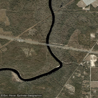
Suwannee River
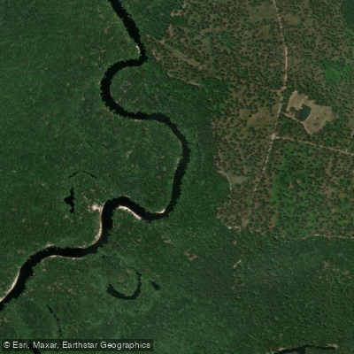
Saint Marys River
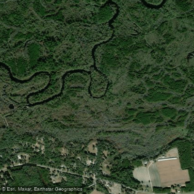
Satilla River
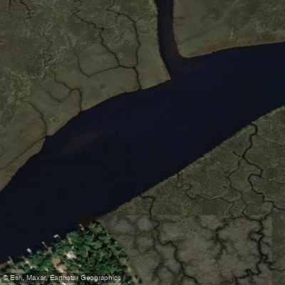
Nassau River
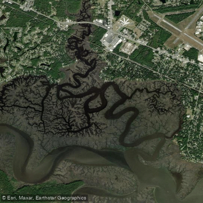
Burrells Creek
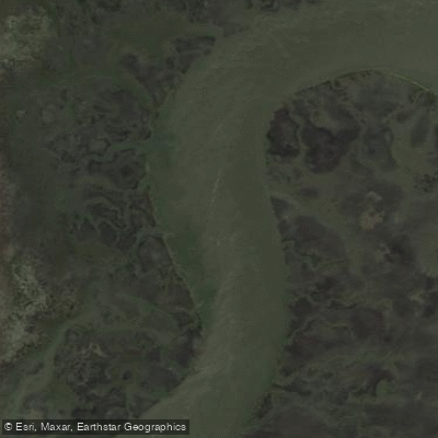
Crooked River
Explore Florida waters
Top paddling waters
Popular Cities
Loading popular cities...
Explore near Saint Marys Entrance

Smarter Paddling Starts in the App.
Paddleways gives you everything you need to plan smarter, paddle better, and own every trip from first launch to takeout.