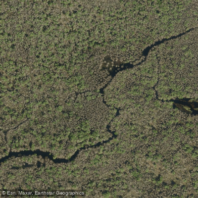
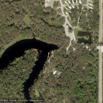
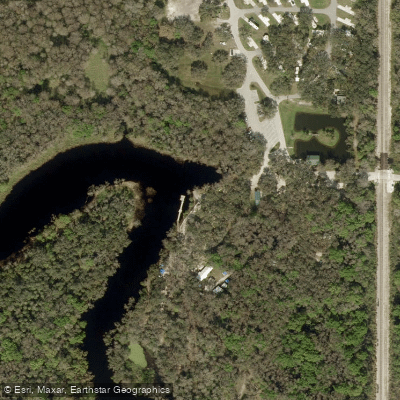
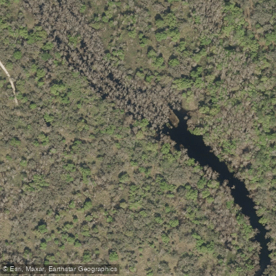
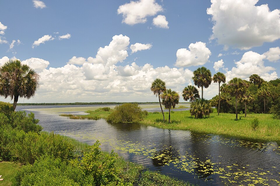
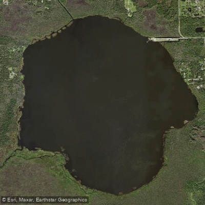
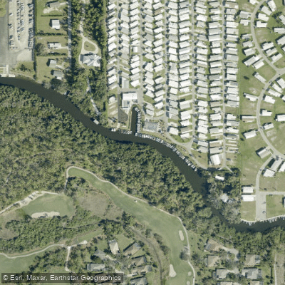
Fisheating Creek is a 52-mile long stream in south-central Florida that originates in a swamp in Highlands County and flows south through Glades County before emptying into Lake Okeechobee. As the only remaining free-flowing tributary to Lake Okeechobee, it plays a vital role in the region's hydrology and ecology. The creek offers paddlers a unique wilderness experience through pristine cypress swamps, marshes, and hardwood hammocks.
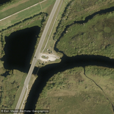
The main paddling section runs 40 miles from Palmdale to Lake Okeechobee, with the most popular trips being the 7-mile Burnt Bridge to Fisheating Creek Outpost route and the more challenging 15-mile Ingram's Crossing to Outpost trip. Difficulty ranges from novice to advanced, depending on water levels and chosen route. The creek's navigability is highly dependent on water levels, with optimal paddling conditions between 1.5 and 7 feet at the Highway 27 bridge. Late summer and fall typically offer the best water levels, though tropical systems can cause flooding.
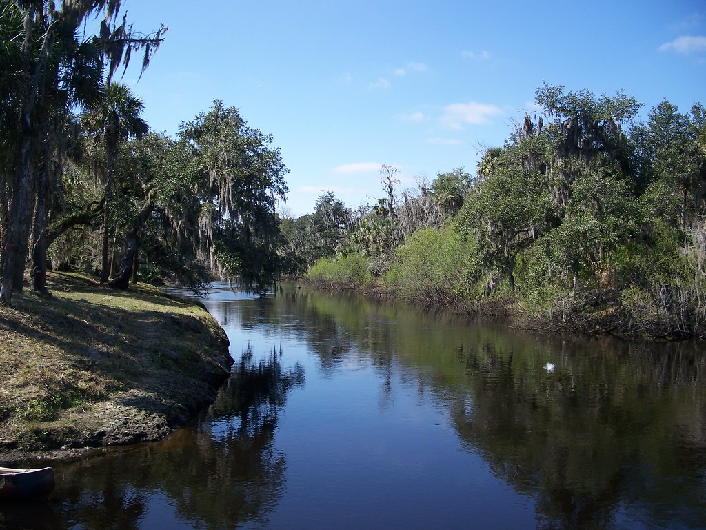
Fisheating Creek is renowned for its abundant wildlife viewing opportunities. Paddlers may encounter alligators, turtles, deer, black bears, and a diverse array of wading birds and raptors. The surrounding landscape features towering cypress trees draped in Spanish moss and air plants. Key landmarks include the historic Fort Center archaeological site and Cowbone Marsh.
The primary access point is Fisheating Creek Outpost in Palmdale, which offers camping, canoe/kayak rentals, and shuttle services. Additional access is available at Burnt Bridge and Ingram's Crossing for longer trips. The creek flows through the 18,000-acre Fisheating Creek Wildlife Management Area, an environmentally critical area that is home to 27 rare or endangered species. This protected status stems from a long legal battle in the 1990s to preserve public access and prevent development along the creek.
Safety considerations include checking water levels before trips, being prepared for remote wilderness paddling, and respecting wildlife. Overnight camping is permitted on high ground within the management area, allowing for multi-day adventures through this remarkable Florida ecosystem. Fisheating Creek offers paddlers a chance to experience Old Florida at its wildest and most beautiful, making it a must-visit destination for nature enthusiasts and adventure seekers alike.