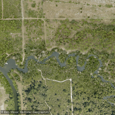
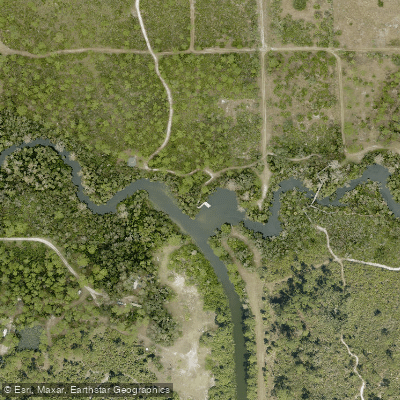
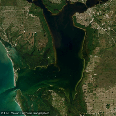
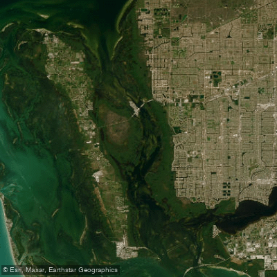
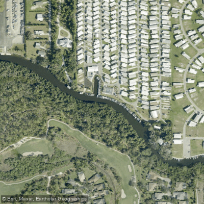
Hickey Creek flows through Lee County in southwest Florida, serving as a pristine tributary to the mighty Caloosahatchee River. This narrow waterway originates in the uplands east of Alva and winds approximately 4 miles through protected wilderness before joining the Caloosahatchee just east of the State Road 80 bridge. The creek's entire length is preserved within Hickey's Creek Mitigation Park, an 862-acre conservation area that maintains the waterway's wild character despite its proximity to Fort Myers metropolitan area.
The creek offers exceptional flatwater paddling through four distinct sections, each accessible via the Caloosahatchee River system. Primary launch points include Caloosahatchee Regional Park in Alva, W.P. Franklin Locks Campground, and the Alva boat ramp on Pearl Street. Round-trip distances range from 7 to 8 miles depending on launch selection, with the creek entrance located approximately 1.5 to 2.5 miles from various access points via the main river.
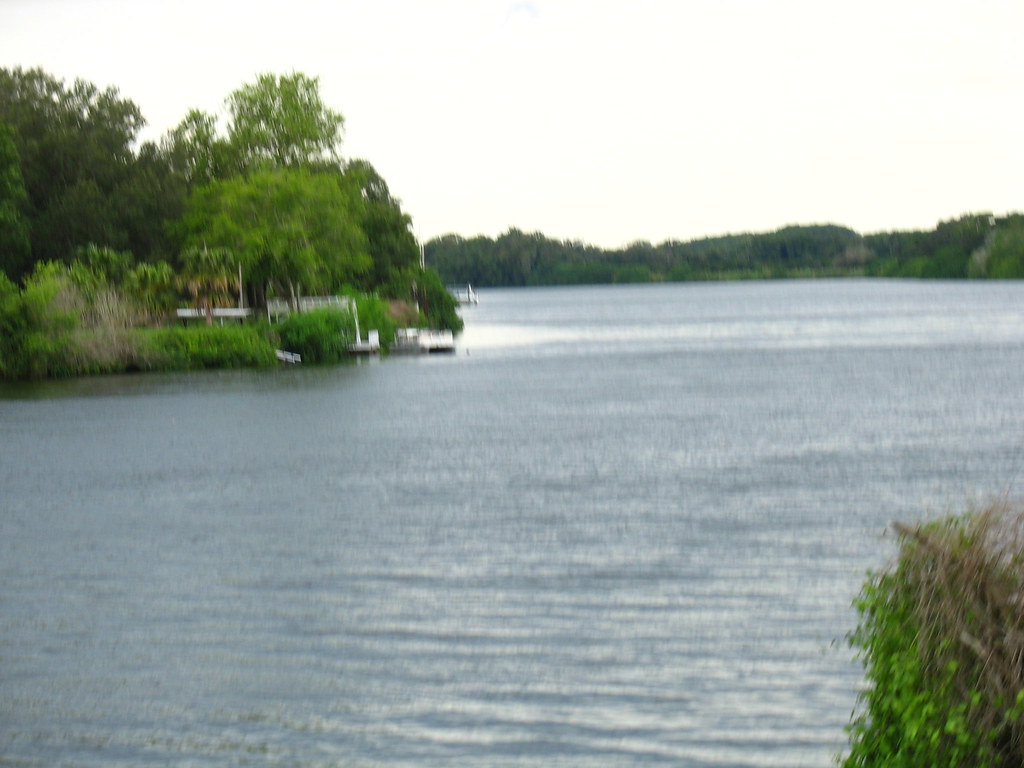
Paddling difficulty ranges from beginner to intermediate, with the primary challenge being navigation of the wide Caloosahatchee River to reach the creek mouth. Motor boat traffic, wind, and large wakes require caution, particularly on weekends. Once within Hickey Creek proper, paddlers encounter calm, protected waters ideal for wildlife observation and photography.
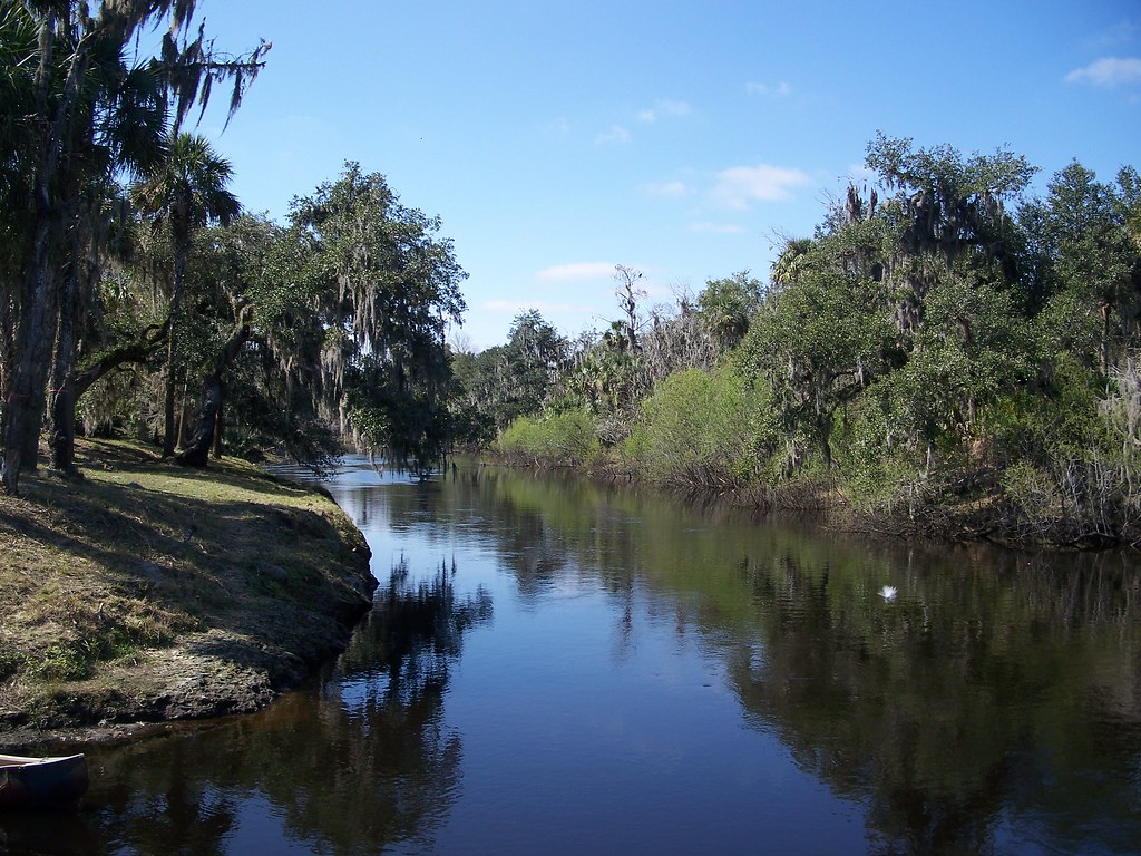
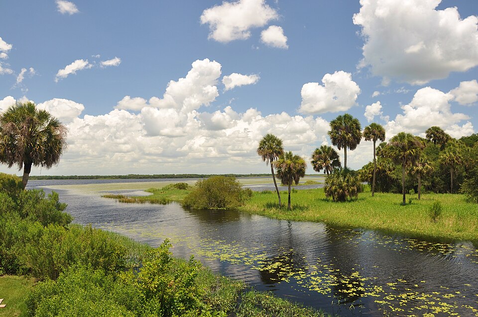
The creek's defining characteristic is its dramatic transformation from the open Caloosahatchee into an intimate tunnel of vegetation. Steep banks rise on both sides, crowned by massive live oaks whose branches create a natural cathedral overhead. Towering longleaf pines and scattered bald cypress complete the canopy, while native palms add subtropical texture to the understory.
Wildlife viewing opportunities are exceptional, with regular sightings of river otters, alligators, great blue herons, and various wading birds. The preserved corridor serves as critical habitat within the rapidly developing region, making it a designated site on the Great Florida Birding Trail.
Cooler months from October through April provide optimal paddling conditions, with reduced afternoon thunderstorms and more comfortable temperatures. The creek maintains adequate water levels year-round due to its connection to the regulated Caloosahatchee system.
Historical significance traces to the Calusa people, who likely used this waterway for transportation and subsistence fishing. The creek now forms part of the Great Calusa Blueway, a 190-mile paddling trail system honoring this maritime culture.
Safety considerations include mandatory powerboat awareness on the Caloosahatchee approach, with paddlers advised to stay close to the right bank. The mitigation park offers excellent hiking opportunities with 5 miles of marked trails, though direct water access requires a challenging half-mile carry from parking areas, making river-based launches preferable for most visitors.