Curated by PaddleWays
RouteFlatwater
- Distance
- 3.3 mi
- Paddle time
- ~1 hr
- Best for
- All skill levels
- Put-in → take-out
- Lee County Manatee Park Kayak Launch → Upriver RV Resort Boat Ramp
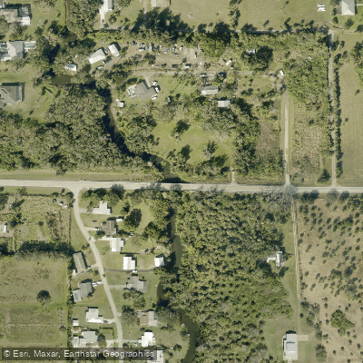
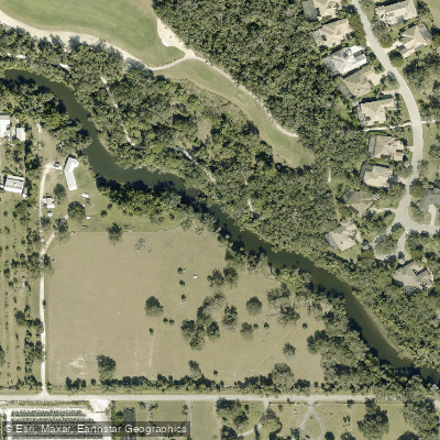
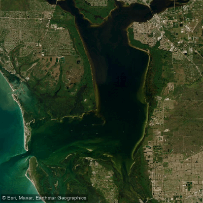
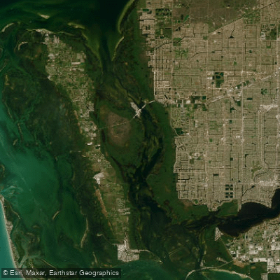
The Orange River in Florida flows through southwest Florida's Lee County, serving as a scenic tributary of the mighty Caloosahatchee River. This intimate waterway winds approximately 13 miles upstream from its confluence with the Caloosahatchee, creating a paddling corridor that transitions from brackish waters near the confluence to freshwater environments in its upper reaches.
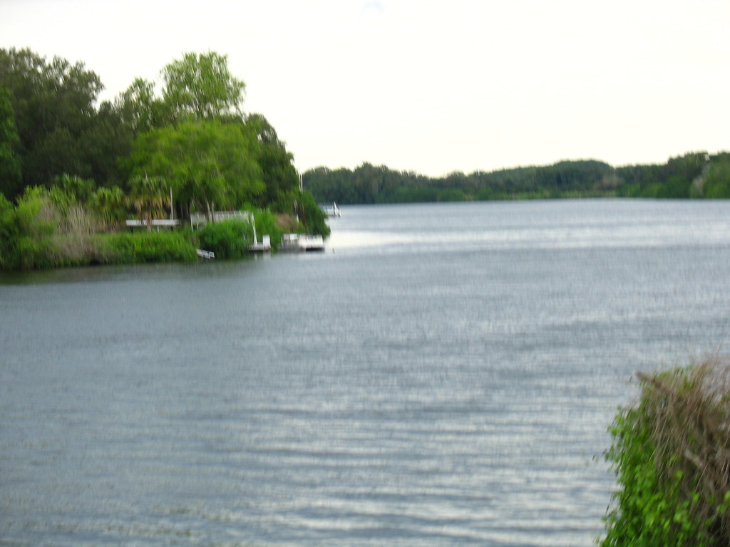
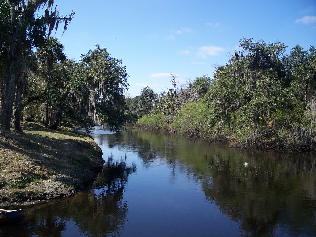
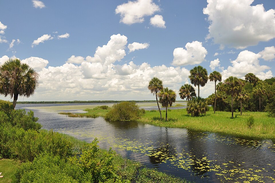
The river's character transforms dramatically along its length. Beginning wide and deep near Manatee Park, it gradually narrows as paddlers venture upstream, developing classic "Old Florida" ambiance with live oak canopies draped in Spanish moss and air plants creating natural tunnels overhead. The water becomes progressively clearer and shallower in the upper sections, revealing small schools of fish and supporting diverse aquatic vegetation.
Paddling opportunities center around several distinct sections, all offering flatwater experiences suitable for beginners through intermediate paddlers. The most popular routes originate from Manatee Park, allowing exploration either upstream toward Buckingham and Orange River Boulevard, or downstream toward the Caloosahatchee confluence. Longer expeditions can begin at Buckingham Paddle Craft Launch, providing 5-7 mile one-way journeys. The entire system maintains very mild currents, making it accessible for kayaks, canoes, and stand-up paddleboards.
Winter months from November through March represent prime paddling season, when hundreds of West Indian manatees congregate in the warm waters discharged from the nearby Florida Power & Light facility. This thermal refuge creates one of Southwest Florida's premier manatee viewing destinations, though the river supports year-round populations of otters, various turtle species, wading birds, and diverse fish communities.
The Orange River forms part of the Great Calusa Blueway, connecting paddlers to a broader network of Southwest Florida waterways. Access points include the well-developed Manatee Park facility off State Road 80, featuring parking, restrooms, rental services, and educational amenities, plus the more rustic Buckingham Paddle Craft Launch and Orange Harbor Mobile Home Park access point.
Historically, this waterway flowed through territories of the Calusa people, sophisticated coastal inhabitants who dominated Southwest Florida for centuries before European contact. The river's name likely derives from the abundance of wild oranges that once grew along its banks during Florida's early settlement period.
Safety considerations include awareness of seasonal boat traffic, particularly near the Caloosahatchee confluence, though "No Wake Zone" regulations help manage conditions. The thermal discharge area requires respectful wildlife viewing practices, maintaining appropriate distances from manatees and other protected species. Water levels remain relatively stable year-round due to the controlled discharge, though summer thunderstorms can create temporary challenging conditions.
Curated routes
Hand-picked by the PaddleWays team, with put-ins, take-outs, paddle times and the hazards along the way.
RouteFlatwater
RouteFlatwater
RouteFlatwater
Hazards
No hazards are marked on Orange River yet. That is not the same as none being there: if you find one, report it for the next paddler.
From the community
Nobody has shared a trip on Orange River yet. Paddle it, then tell the next paddler how it went.
See exactly where the public can get on and off the river. Launch points and boat ramps are paired with PaddleWays' public land data so you know where you can legally land.
Public shoreline
32%of the river's shoreline is public
Most of the riverbank is private. Launch, land and camp only at public access points.
Flows, weather and a route-by-route verdict, so you know which stretch of the Orange River is worth paddling today.
Live flows, marked hazards and fresh trip reports from paddlers who were just on the water, all in one place.





Every user gets free access to launch points, boat ramps, and public property parcels.
Loading popular cities...
PaddleWays gives you everything you need to plan smarter, paddle better, and own every trip from first launch to takeout.