Curated by PaddleWays
Route
- Distance
- 3 mi
- Paddle time
- ~1 hr
- Best for
- Kayak, canoe
- Put-in & take-out
- Clam Pass Park Canoe/Kayak Launch Site
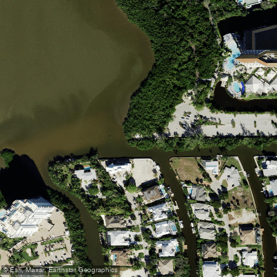
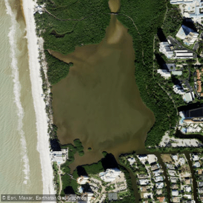
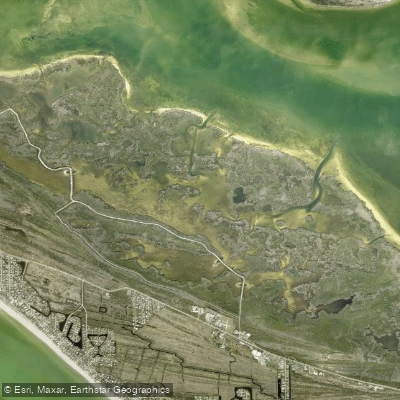
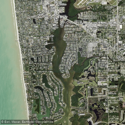
Outer Clam Bay is a shallow, saltwater lagoon in North Naples, Florida, forming the northern section of a well-marked six-mile kayak loop trail. The primary and only confirmed launch point for paddlers is the Clam Pass Park Canoe/Kayak Launch Site, located in the southwestern corner of the park's main parking lot. This launch provides direct access to Outer Clam Bay via a hand-carry beach launch. The bay connects southward through a mangrove-lined waterway to Inner Clam Bay, creating the full loop trail. The trail is marked with 32 navigational markers, though some dead-end channels exist within the mangrove network. A key feature for paddlers is the ability to land at Clam Pass Beach, roughly one mile from the launch, for a mid-trip break. The overall paddling environment is quiet and sheltered from powerboat traffic, with views of mangroves and occasional wooden residential walkways, though high-rise buildings remain visible in the distance.
The bay is a tidal feature, and paddling is significantly influenced by water levels. Local guidance strongly recommends paddling on a rising or high tide to ensure sufficient water depth, particularly for navigating the narrower mangrove sections of the connecting trail. Mornings are generally considered the best time to paddle due to calmer conditions before afternoon winds develop. The waterway is having slight currents, especially at the Clam Pass inlet itself, but it is not considered intense or dangerous like some Florida inlets. Paddlers should, however, always exercise caution, particularly when near the pass where the bay meets the Gulf of Mexico. The area is exposed to typical Gulf Coast winds, and the shallow nature of the bay can make it susceptible to chop.
Facilities for paddlers at Clam Pass Park include the launch site, a dock, restrooms, picnic areas, and ADA-accessible amenities. Parking is available for a fee, which was $10, with 171 spaces that can fill quickly on busy days. While kayak and SUP rentals are available seasonally from a beach concession stand, they are expensive and may not be cost-effective for the full six-mile loop. The park hours are from 8 a.m. to sundown. The surrounding ecosystem is dominated by mangroves, which provide habitat for wading birds such as herons, egrets, and ibis, along with fiddler crabs, fish, and occasional dolphins or manatees, particularly in cooler months. The aesthetic is a mix of pristine natural mangrove tunnels and lagoons with the constant backdrop of nearby coastal development.
Curated routes
Hand-picked by the PaddleWays team, with put-ins, take-outs, paddle times and the hazards along the way.
Route
Hazards
No hazards are marked on Outer Clam Bay yet. That is not the same as none being there: if you find one, report it for the next paddler.
From the community
Real trips from PaddleWays paddlers: which route they ran, how the water was, and what to watch for.
Loading trip reports
Carla B.
Clam Pass Park Canoe/Kayak Launch Site• Tidal estuary
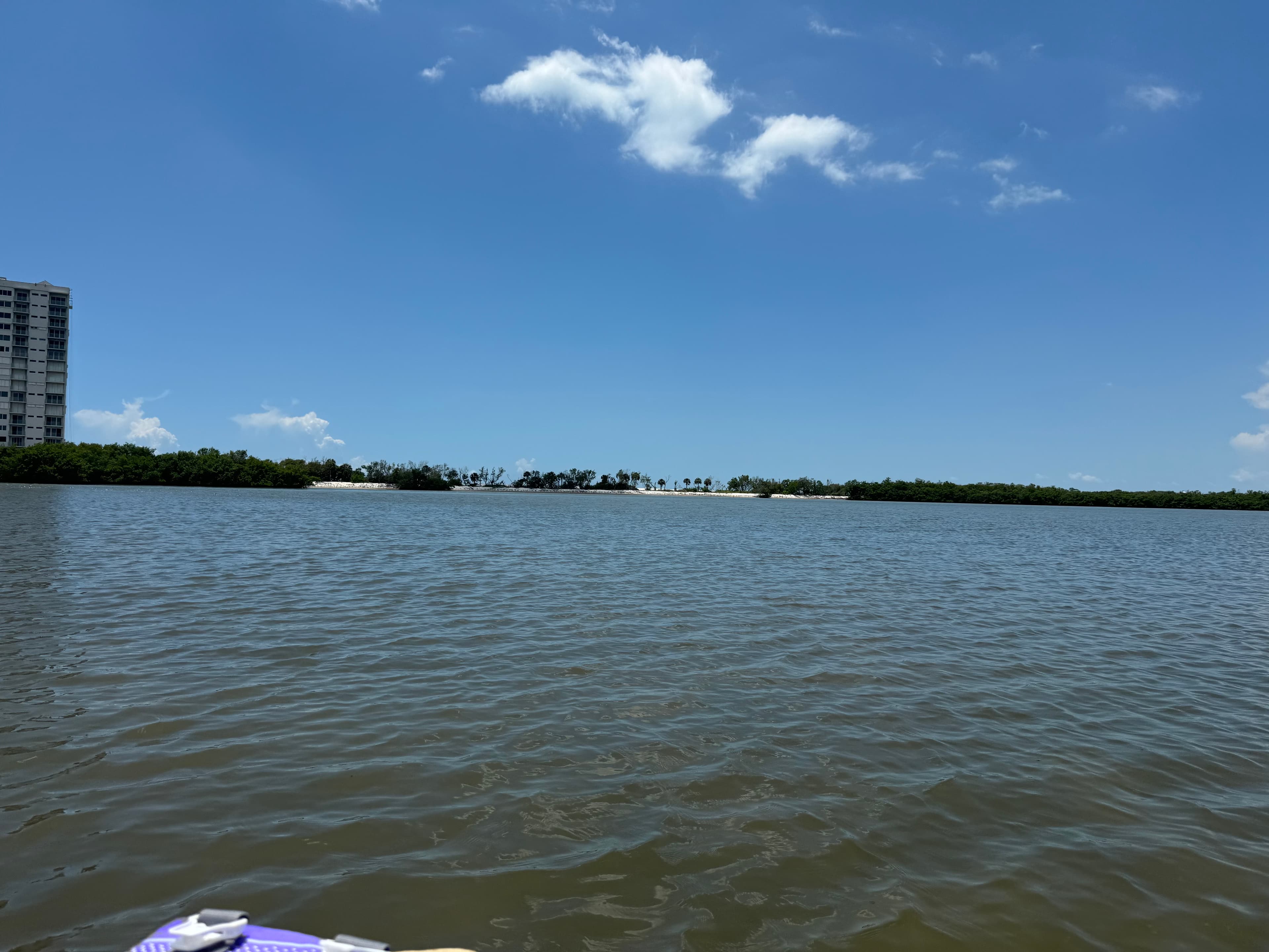
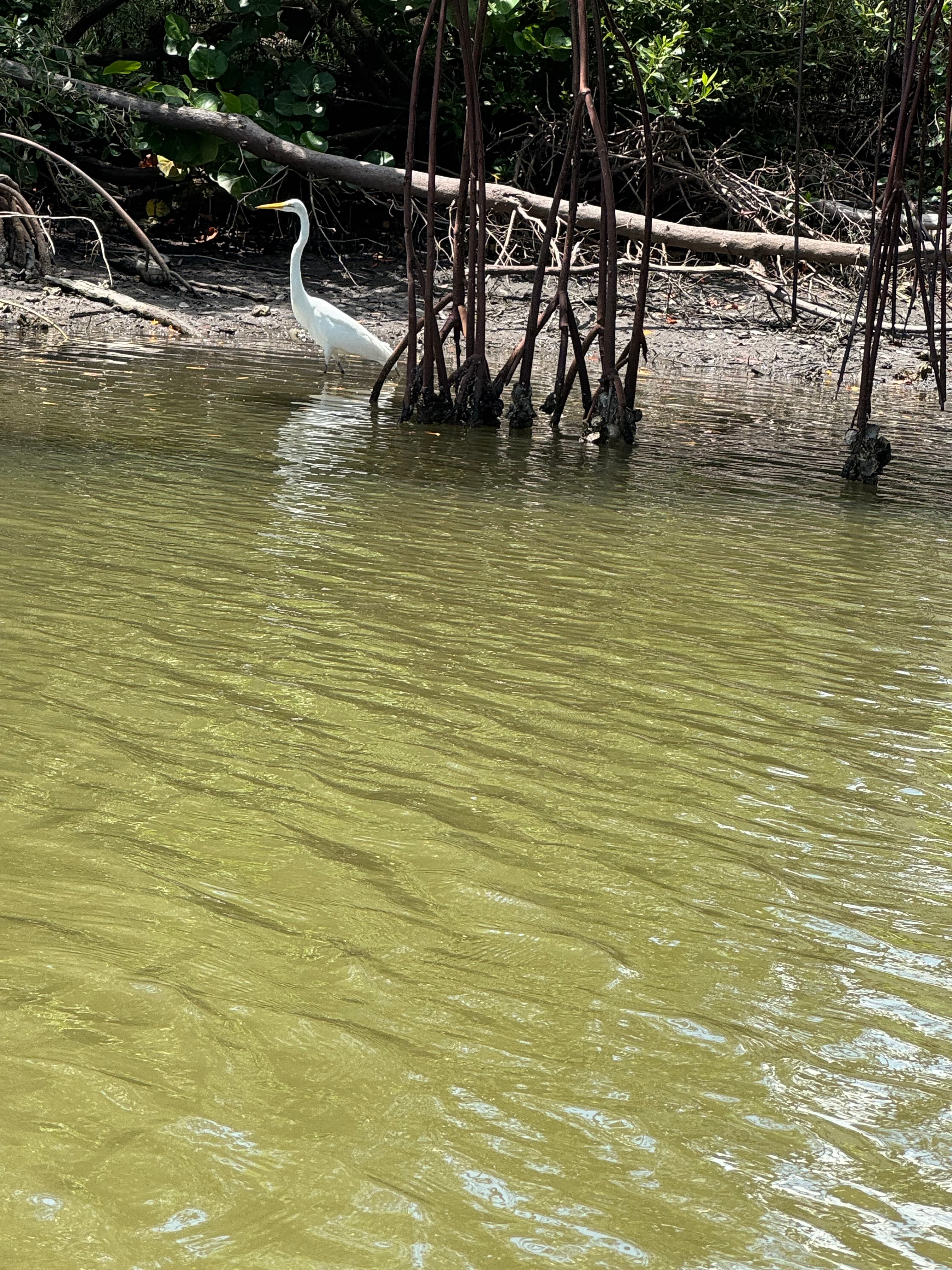
Water level was low didn’t go under bridge to beach
 +7
Where to get on and off Outer Clam Bay: launch points, boat ramps and bridges.
On open water, wind and tide matter as much as the weather. See the best times to paddle Outer Clam Bay and check the marine forecast before you launch.
Loading tide predictions…
Live flows, marked hazards and fresh trip reports from paddlers who were just on the water, all in one place.





Every user gets free access to launch points, boat ramps, and public property parcels.
Loading popular cities...
PaddleWays gives you everything you need to plan smarter, paddle better, and own every trip from first launch to takeout.