Curated by PaddleWays
RouteFlatwater
- Distance
- 3.6 mi
- Paddle time
- ~1 hr
- Put-in → take-out
- Tomoka Boat Ramp → Tomoka State Park Boat Ramp
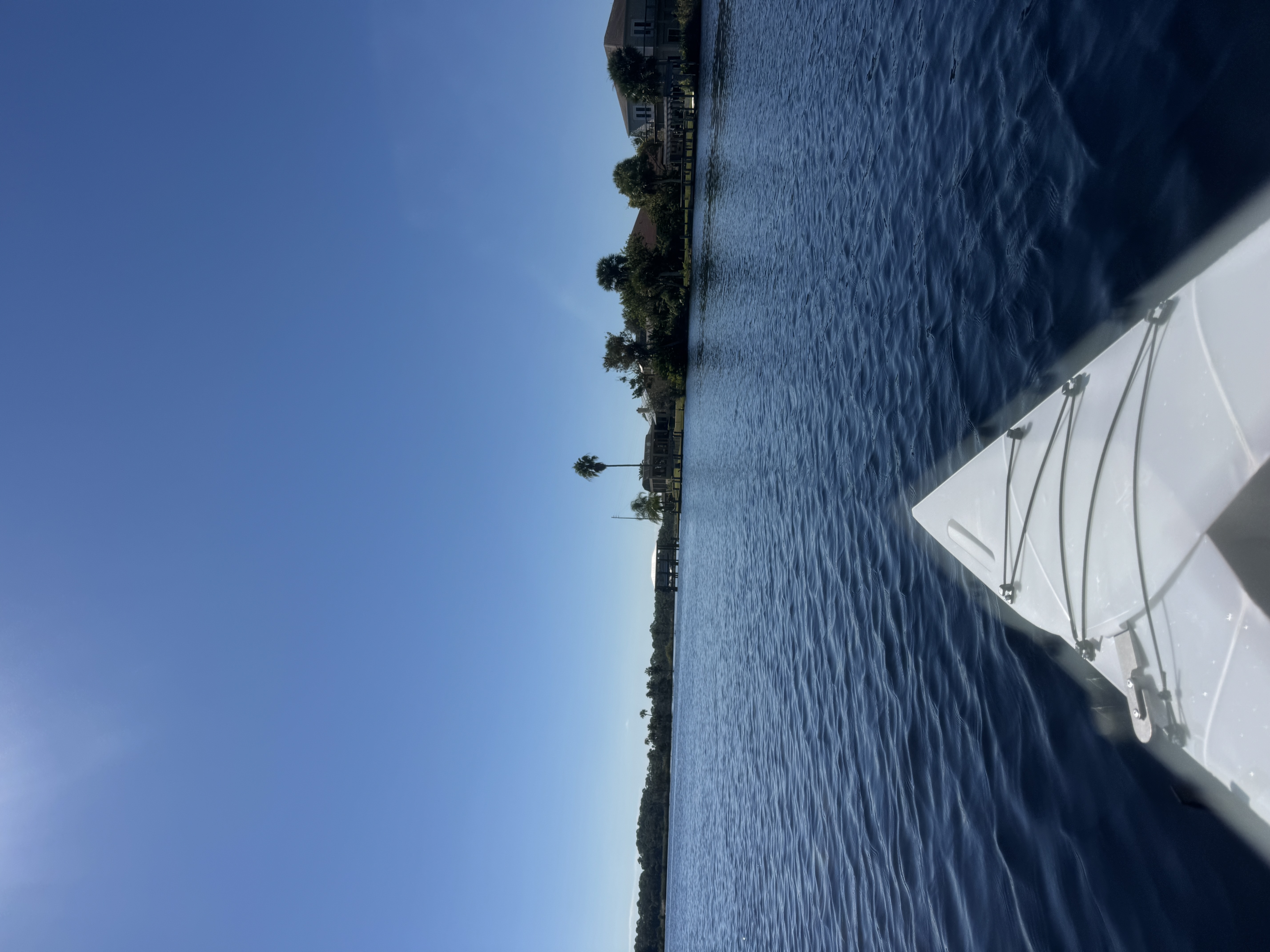
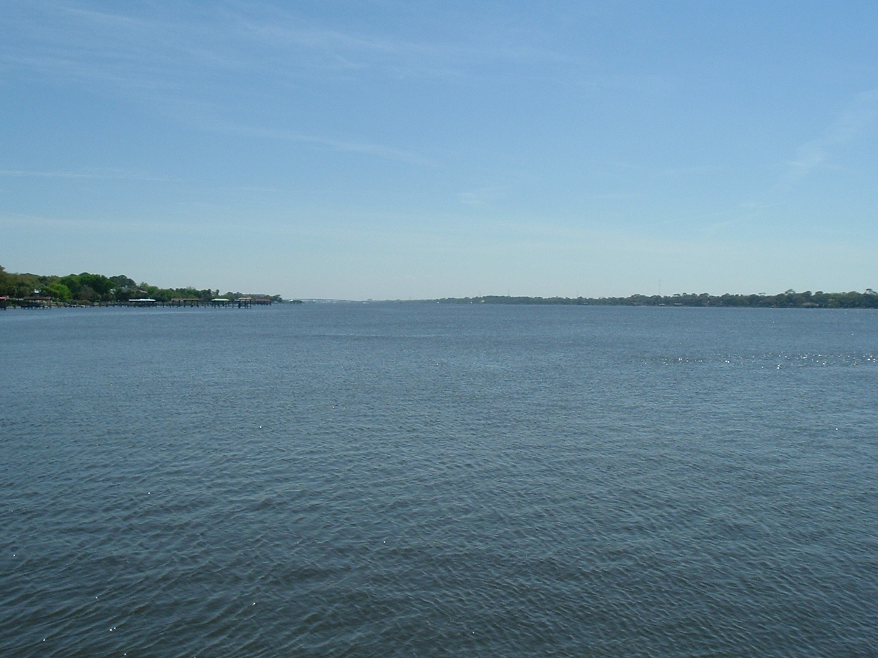
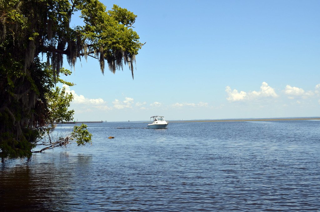
Motor boat traffic on the waterway
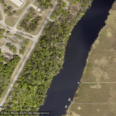
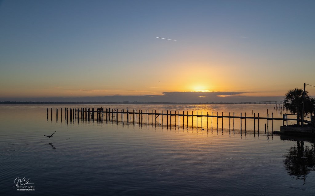
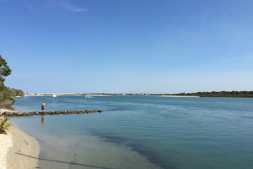
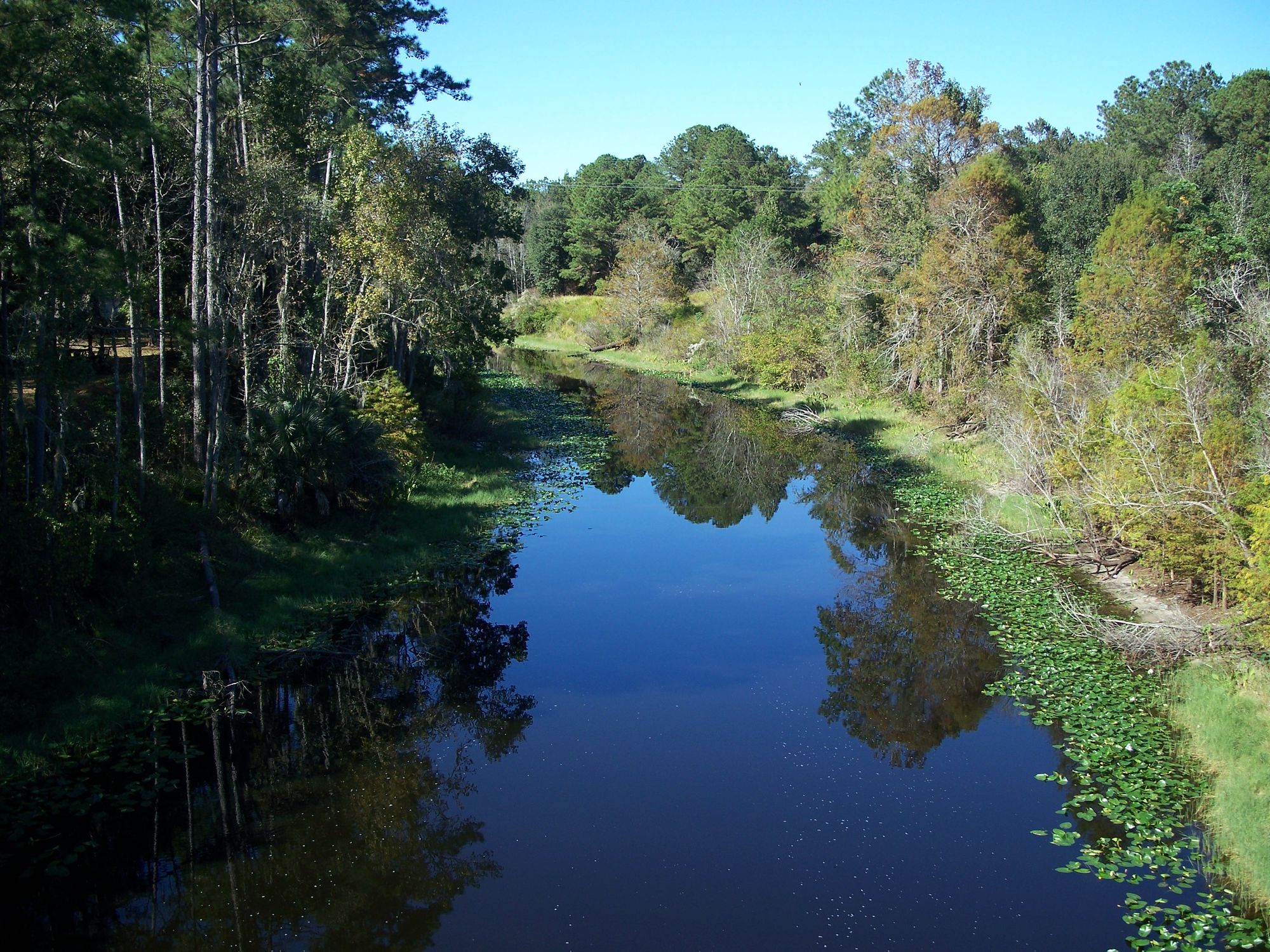
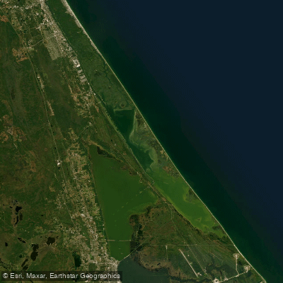
The Tomoka River flows northward for 13 miles through Volusia County, Florida, from its origins upstream of State Road 40 to its confluence with the Halifax River (Intracoastal Waterway) at Tomoka Basin near Ormond Beach. This tidal waterway undergoes a dramatic transformation along its course, beginning as a narrow, canopied swampy backwater in its upper reaches and evolving into wide coastal marshlands as it approaches the Atlantic coast.
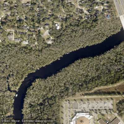
The river's character changes distinctly in three sections. The upper reaches above SR 40 feature intimate, shaded waterways flowing through cypress and oak canopies. The middle section around Tomoka State Park opens into broader waters with mixed hammock and marsh environments. The lower tidal section becomes increasingly influenced by saltwater, bordered by sabal palmettos, wax myrtle, and salt marsh vegetation as it widens toward its Halifax River confluence.
Strickland Creek provides the river's primary tributary, branching off approximately one mile upstream from Tomoka State Park and offering an additional 8.7 miles of paddling through the pristine Tomoka Marsh Aquatic Preserve. This protected waterway winds through undeveloped hammock country, providing shelter from wind and access to some of the region's most untouched ecosystems.
The entire system offers beginner-friendly flatwater paddling, though tidal influences become significant in the lower reaches. Spring and fall provide optimal conditions with comfortable temperatures and peak wildlife activity during migration periods. Summer paddling requires early starts due to heat and afternoon thunderstorms, while winter offers pleasant conditions with fewer crowds.
Wildlife viewing opportunities abound throughout the system. The upper sections support pileated woodpeckers, while eagles and ospreys concentrate near Tomoka Basin. Manatees frequent the waters, particularly around Tomoka State Park. The lower tidal sections provide excellent fishing for snook, redfish, trout, and juvenile tarpon among the salt marshes.
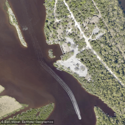
Primary access points include Tomoka State Park, which serves as the system's hub with full services, rentals, and camping facilities, and the Tomoka Boat Ramp on Palm Avenue in Ormond Beach. Historical access points at SR 40 Bridge, Riverbend Nature Park, and US 1 Bridge are no longer available, making river access surprisingly limited for an urban waterway.
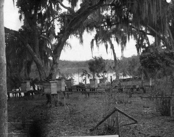
The region carries significant historical importance, with Tomoka State Park preserving remnants of a 22,000-acre rice and indigo plantation. The area honors Chief Tomokie with interpretive displays and serves as a designated site on the Great Florida Birding and Wildlife Trail.
Paddlers should be aware of motor boat traffic, particularly in lower sections, and plan around tidal cycles for optimal conditions. The I-95 bridge provides a useful landmark and rest stop with shade. While day trips are most common, the system's proximity to full-facility camping at Tomoka State Park enables multi-day exploration of the broader region including nearby Bulow Creek and the Ormond Scenic Loop.
Curated routes
Hand-picked by the PaddleWays team, with put-ins, take-outs, paddle times and the hazards along the way.
RouteFlatwater
RouteFlatwater
RouteFlatwater
Hazards
No hazards are marked on Tomoka River yet. That is not the same as none being there: if you find one, report it for the next paddler.
From the community
Nobody has shared a trip on Tomoka River yet. Paddle it, then tell the next paddler how it went.
See exactly where the public can get on and off the river. Launch points and boat ramps are paired with PaddleWays' public land data so you know where you can legally land.
Public shoreline
19%of the river's shoreline is public
Most of the riverbank is private. Launch, land and camp only at public access points.
Flows, weather and a route-by-route verdict, so you know which stretch of the Tomoka River is worth paddling today.
Live flows, marked hazards and fresh trip reports from paddlers who were just on the water, all in one place.





Every user gets free access to launch points, boat ramps, and public property parcels.
Loading popular cities...
PaddleWays gives you everything you need to plan smarter, paddle better, and own every trip from first launch to takeout.