Allatoona Creek
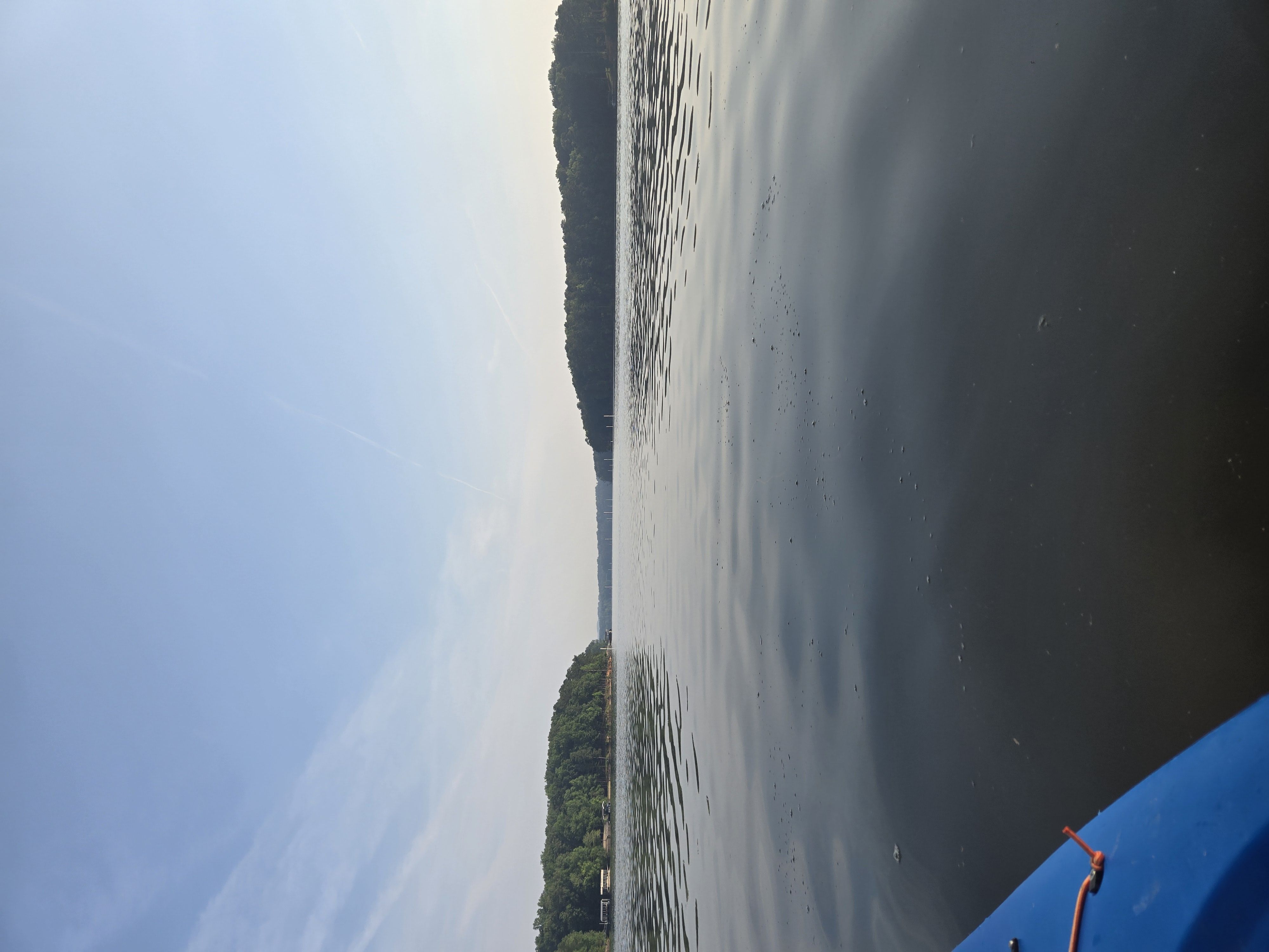
Allatoona Creek
- Boat Ramps
- 1
- Access Points
- 2
- Campsites
- 5
Allatoona Creek is a small but scenic waterway located in northwestern Georgia, primarily known for its connection to Lake Allatoona. While the creek itself is not a major paddling destination, it feeds into the lake and contributes to a popular kayaking route known as the Allatoona Falls Kayak Route. The Allatoona Falls Kayak Route is a flatwater paddling experience that takes place on Little River, a tributary of Lake Allatoona. This easy, 3-mile round trip begins at Olde Rope Mill Park in Woodstock, Georgia, and leads to the Lake Allatoona Waterfall, also known as Toonigh Creek Falls.
The route is perfect for beginners and families, offering a peaceful journey through beautiful surroundings with hidden coves and small islands to explore. Paddlers can expect calm waters and minimal current, making this an ideal location for novice kayakers and stand-up paddleboarders. The difficulty level is consistently easy, with no rapids or significant obstacles to navigate. However, as with any water activity, basic water safety skills and equipment are essential.
The best times to paddle this route are typically spring through fall, when temperatures are mild and water levels are suitable. Summer can be particularly popular, but may also bring more boat traffic on the lake.
The area around Allatoona Creek and Lake Allatoona supports a diverse ecosystem. Paddlers may encounter various bird species, including herons and ospreys, as well as fish like bass and catfish. The shoreline is lined with mixed hardwood forests typical of the Georgia Piedmont region.
Key points of interest along the route include the Lake Allatoona Waterfall itself, which serves as the turnaround point for most paddlers. The journey also offers opportunities to explore the broader lake area beyond the falls, with expansive views of Lake Allatoona.
The primary access point for this paddling route is Olde Rope Mill Park in Woodstock, Georgia, which provides ample parking and easy water access. The park also offers hiking trails, including one that leads to the waterfall for those who prefer to view it from land.
While not steeped in extensive historical significance, the area around Allatoona Creek and Lake Allatoona has been a recreational hub for locals and visitors alike for many years. The lake, created in the 1950s by the U.S. Army Corps of Engineers, has played a crucial role in flood control, hydropower generation, and water supply for the region.
Safety considerations include wearing life jackets, being aware of changing weather conditions, and staying hydrated, especially during summer months. Paddlers should also be mindful of other boat traffic on the lake and follow all local regulations.
For those looking to extend their adventure, camping options are available at nearby Red Top Mountain State Park, allowing for multi-day explorations of Lake Allatoona and its surrounding waterways.
Water access, boat ramps & amenities
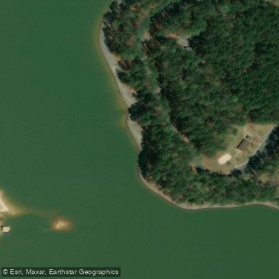
Learn how to get on Allatoona Creek. Uncover great paddling access points, boat ramps, and all the facilities you need for an unforgettable day on the water. Some locations shown may border or include private property. Always check property boundaries and applicable regulations before visiting. PaddleWays's Public & Private Land layer can help you plan your access with confidence.
Paddle smarter with real-time insights
Whether you're en route and conditions shift or you're looking for the best spot based on current flows, we enable you to make informed decisions on the fly.








Find Places to Paddle

Over 400,000 Places to Paddle
Every user gets free access to launch points, boat ramps, and public property parcels.


Water and weather conditions (10 day forecast)
See the best times to paddle Allatoona Creek and check the forecast before you go.
ALLATOONA CREEK AT STILESBORO RD, NEAR ACWORTH, GA
All Flow Stations
Paddling near Allatoona Creek
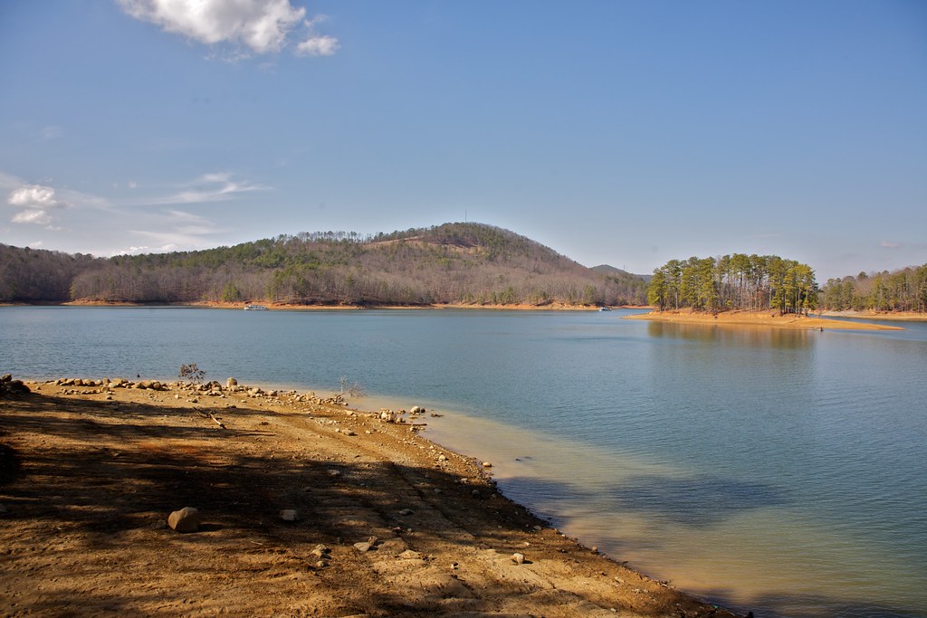
Allatoona Lake
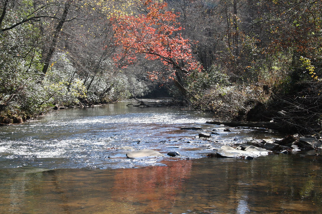
Etowah River

Chattahoochee River
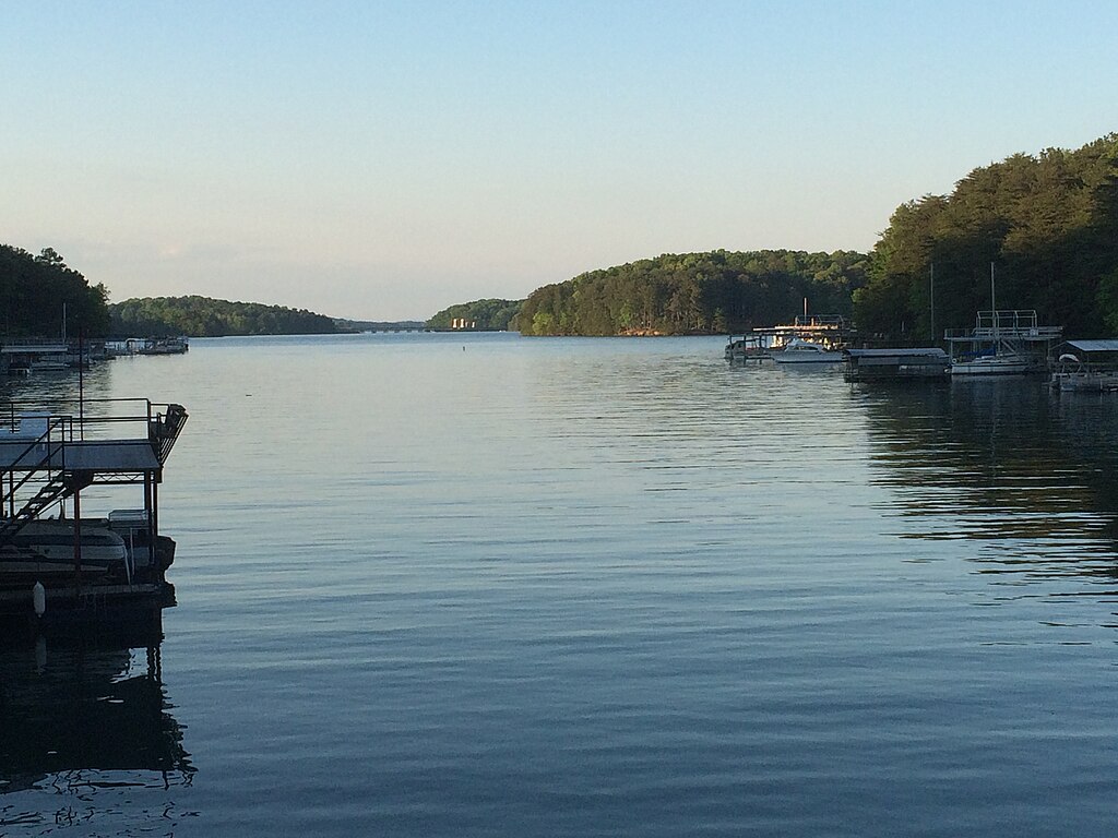
Lake Sidney Lanier

Flint River
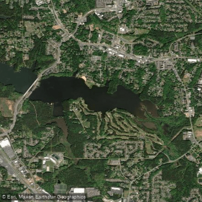
Lake Acworth
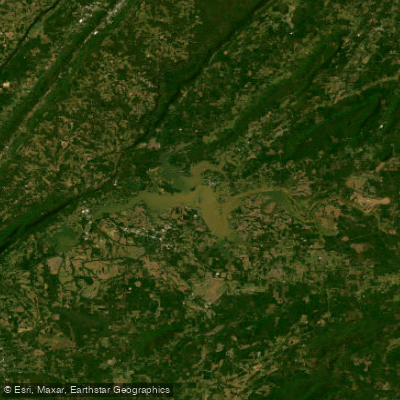
Weiss Lake
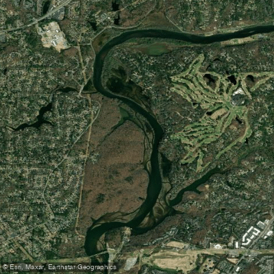
Bull Sluice Lake
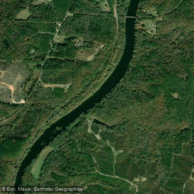
Tallapoosa River
Explore Georgia waters
Top paddling waters
Popular Cities
Loading popular cities...
Explore near Allatoona Creek
Access points
- Old Highway 41 Campground Boat Ramp
- Dallas Landing Park Access
- Allatoona Creek Bridge
- Allatoona Creek Bridge
- Allatoona Creek Bridge
- Allatoona Creek Bridge
- Allatoona Creek Bridge
- Cr645-cr397-allatoona Lk Bridge
- Allatoona Creek Bridge
- Allatoona Creek Bridge
- Allatoona Creek lake Bridge
- Proctor Creek lake Bridge
- All 70 spots
Nearby waters
More in Georgia

Smarter Paddling Starts in the App.
Paddleways gives you everything you need to plan smarter, paddle better, and own every trip from first launch to takeout.