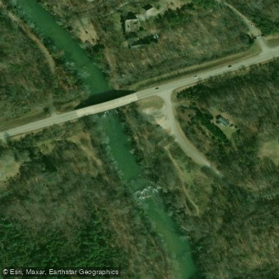
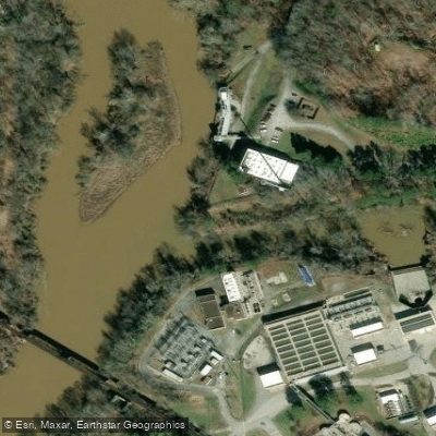
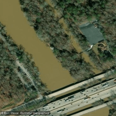
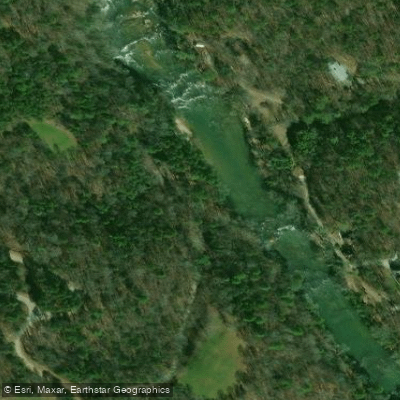
The Chattahoochee River is a waterway that flows through the heart of Georgia, offering a wide range of paddling experiences from its headwaters in the North Georgia mountains to the urban corridors of Atlanta and beyond. This iconic river spans approximately 430 miles, with its upper reaches characterized by challenging whitewater and its lower sections providing calm waters suitable for leisurely floats.
The upper Chattahoochee, often referred to as the "Upper Hooch," begins as a mountain stream and quickly gains volume as it descends through the Blue Ridge Mountains. This section offers some of the most exciting whitewater in the state, with Class II-IV rapids that challenge even experienced paddlers. The stretch from USFS Road 44 to Robertson is particularly notable, featuring a 7-mile run with technical rapids and beautiful mountain scenery.
As the river flows southward, it transitions into more moderate waters. The section from Robertson to GA Route 115, known as the "Hoochy Helen Run," provides a perfect introduction to river paddling with its 16 miles of Class I-II rapids. This stretch is ideal for families and beginners, offering a mix of gentle rapids and calm pools set against the backdrop of the North Georgia Mountains.
The Chattahoochee River National Recreation Area, spanning 48 miles of river through metro Atlanta, offers a unique urban paddling experience. This section, protected by the National Park Service, provides numerous access points and a variety of paddling options. The river here is generally rated Class I-II, making it excellent for canoeing, kayaking, and rafting. Popular runs include the 2.5-mile stretch from Powers Island to Paces Mill, known as the "Metro Hooch," which offers the most exciting water in the recreation area with Class I-II rapids.
Seasonal considerations play a significant role in paddling the Chattahoochee. The upper sections often require good rainfall to be runnable, typically when the flow at Helen is at or above 400 cfs. In the lower sections, water releases from Buford Dam can significantly affect river conditions, making it crucial for paddlers to check release schedules before their trips.
The river's ecosystem is rich and varied, supporting a diverse array of flora and fauna. Paddlers may encounter deer, herons, and various fish species, including trout in the colder upper sections. The river is lined with lush forests, featuring mountain laurel, hardwoods, and even a unique bamboo forest in the East Palisades section near Atlanta.
Notable landmarks along the Chattahoochee include the historic Settles Bridge, dating back to the late 1800s, and the scenic rock formations of the Palisades. The river also passes through or near several towns, including Helen, Roswell, and Atlanta, providing easy access and opportunities for extended trips.
The Chattahoochee holds significant historical and cultural importance, having been a vital resource for Native American tribes and early settlers. Today, it serves as a major source of drinking water for the Atlanta metropolitan area and is a beloved recreational resource for millions of visitors annually.
Safety is paramount when paddling the Chattahoochee. Life jackets are required in many sections, particularly below Buford Dam where water releases can cause rapid changes in water levels. Paddlers should always check water conditions and be aware of their skill level relative to the section they plan to run.
For those seeking multi-day adventures, the Chattahoochee offers several options. A popular choice is the 36.2-mile Upper Chattahoochee River Water Trail, which can be broken into smaller segments or tackled as a longer journey through the scenic foothills of the Blue Ridge Mountains. From thrilling whitewater to serene urban floats, the Chattahoochee River provides a paddling experience for every skill level, making it a true gem of Georgia's outdoor recreation scene.