Hiwassee River
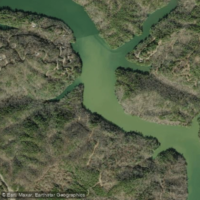
Hiwassee River
- Boat Ramps
- 13
- Access Points
- 15
- Campsites
- 21
The Hiwassee River is a scenic waterway that flows through the southern Appalachian Mountains, originating in northern Georgia and winding its way through western North Carolina and southeastern Tennessee before joining the Tennessee River. This 147-mile long river offers a diverse range of paddling experiences, from calm flatwater sections to challenging whitewater rapids, making it a popular destination for kayakers, canoeists, and rafters of various skill levels.
The river can be divided into several distinct sections, each with its own character and challenges. In Georgia, the High Shoals Creek Section presents advanced paddlers with Class III-IV+(V+) rapids, offering a thrilling 4-mile stretch for those seeking an adrenaline rush. As the river enters North Carolina, it becomes more placid, with the section from Lake Chatuge to Hiwassee Dam providing a gentle Class I-II experience perfect for beginners and families.
The most popular paddling sections are found in Tennessee, where the Hiwassee is designated as a State Scenic River for 23 miles. The Upper Hiwassee Scenic Section, from Apalachia Powerhouse to Reliance, offers Class II-III rapids amidst the beautiful Cherokee National Forest. The Reliance Whitewater Section, a 5.5-mile stretch, is particularly favored for its mix of Class I and II rapids, culminating in the Class III "Devil's Shoals" rapid.
For those seeking a more relaxed experience, the Lower Hiwassee Section from Reliance to U.S. Highway 411 Bridge provides 23 miles of predominantly Class I water with a few Class II wave trains, ideal for leisurely floats and fishing trips. The river's difficulty generally ranges from Class I to III, with a few more challenging sections, making it suitable for a wide range of paddlers from beginners to intermediates.
The best time to paddle the Hiwassee is typically from late spring through early fall, with summer being the peak season. However, water levels can fluctuate significantly due to dam releases, particularly from the Apalachia Dam. It's crucial for paddlers to check the Tennessee Valley Authority's (TVA) water release schedules before planning their trips, as sudden changes in water levels can dramatically affect paddling conditions.
The Hiwassee River corridor is home to a rich diversity of flora and fauna. Paddlers may spot various bird species, including ospreys and bald eagles, as well as river otters and the occasional black bear. The surrounding forests showcase a mix of hardwoods and pines, with wildflowers blooming in spring and vibrant foliage in autumn.
Several historic and cultural sites dot the river's course. The Cherokee Removal Memorial Park near Blythe's Ferry marks a significant site on the Trail of Tears. The historic town of Reliance, with its preserved 19th-century buildings, offers a glimpse into the area's past. Webb Brothers Grocery, operating since 1880, serves as both a put-in point and a living piece of local history.
Safety is paramount on the Hiwassee. All paddlers should wear appropriate personal flotation devices and be aware of changing water conditions. The TVA's dam operations can cause rapid changes in water levels, so staying informed and alert is essential. Additionally, paddlers should be prepared for limited cell phone coverage in some of the more remote sections.
For those looking to extend their adventure, the 55-mile Hiwassee River Blueway offers excellent multi-day trip options. This blueway stretches from the Appalachia Dam to the Tennessee River at Blythe's Ferry, encompassing a variety of paddling experiences and camping opportunities along the way. Whether you're seeking a peaceful float through serene mountain landscapes or an exciting whitewater adventure, the Hiwassee River offers a paddling experience for everyone, set against the backdrop of the beautiful southern Appalachians.
Water access, boat ramps & amenities
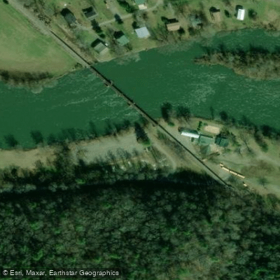
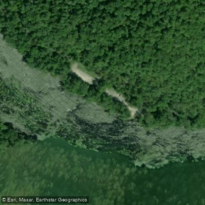
Learn how to get on Hiwassee River. Uncover great paddling access points, boat ramps, and all the facilities you need for an unforgettable day on the water. Some locations shown may border or include private property. Always check property boundaries and applicable regulations before visiting. PaddleWays's Public & Private Land layer can help you plan your access with confidence.
Paddle smarter with real-time insights
Whether you're en route and conditions shift or you're looking for the best spot based on current flows, we enable you to make informed decisions on the fly.








Find Places to Paddle

Over 400,000 Places to Paddle
Every user gets free access to launch points, boat ramps, and public property parcels.


Water and weather conditions (10 day forecast)
See the best times to paddle Hiwassee River and check the forecast before you go.
HIWASSEE RIVER ABOVE RELIANCE
All Flow Stations
Paddling near Hiwassee River

Tennessee River
Ocoee River
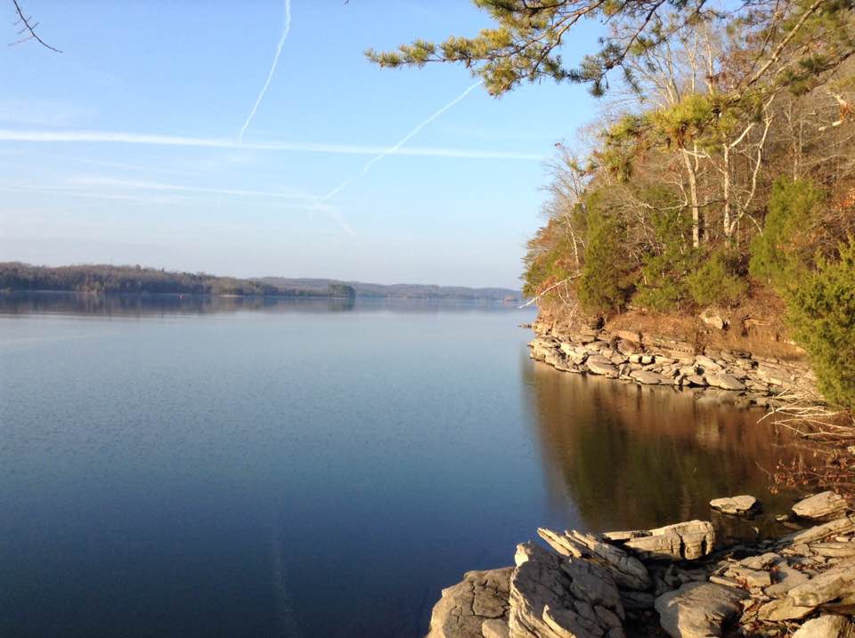
Watts Bar Lake
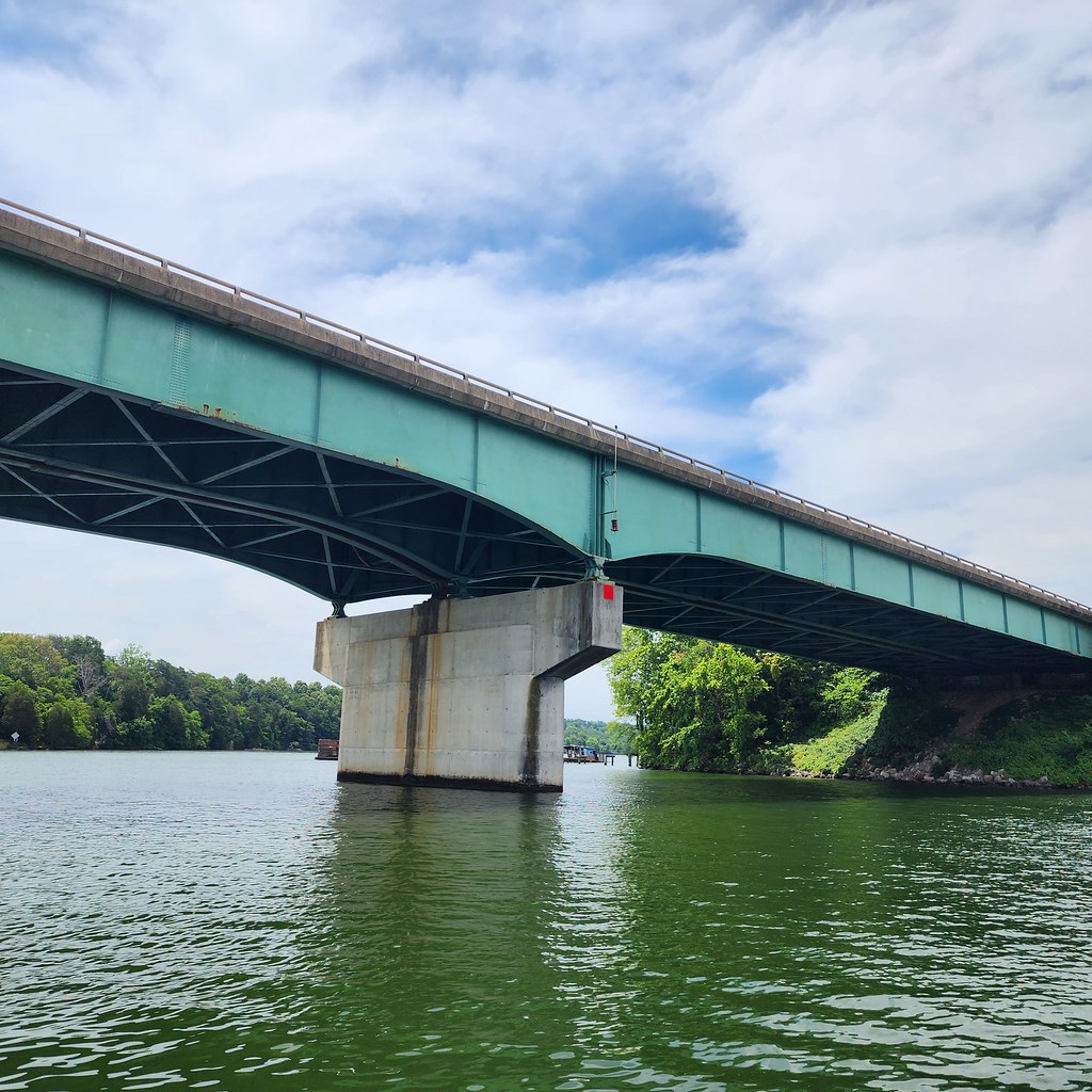
Tellico Lake
Toccoa River

Little Tennessee River
Collins River
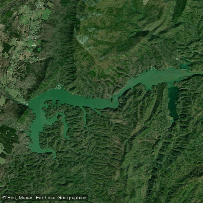
Lake Ocoee
Conasauga River
Explore Georgia waters
Top paddling waters
Popular Cities
Loading popular cities...
Explore near Hiwassee River
Access points
Nearby waters
More in Georgia

Smarter Paddling Starts in the App.
Paddleways gives you everything you need to plan smarter, paddle better, and own every trip from first launch to takeout.