Vernon River
- Saltwater
- Tidal river
Vernon River
- Saltwater
- Tidal river
- Sq. miles
- 9
- Boat Ramps
- 0
- Access Points
- 0
- Campsites
- 1
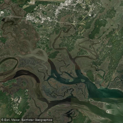
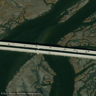
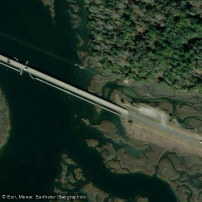
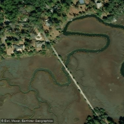
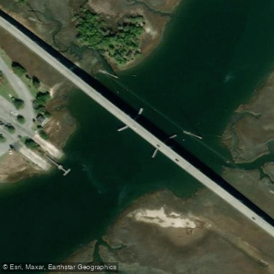
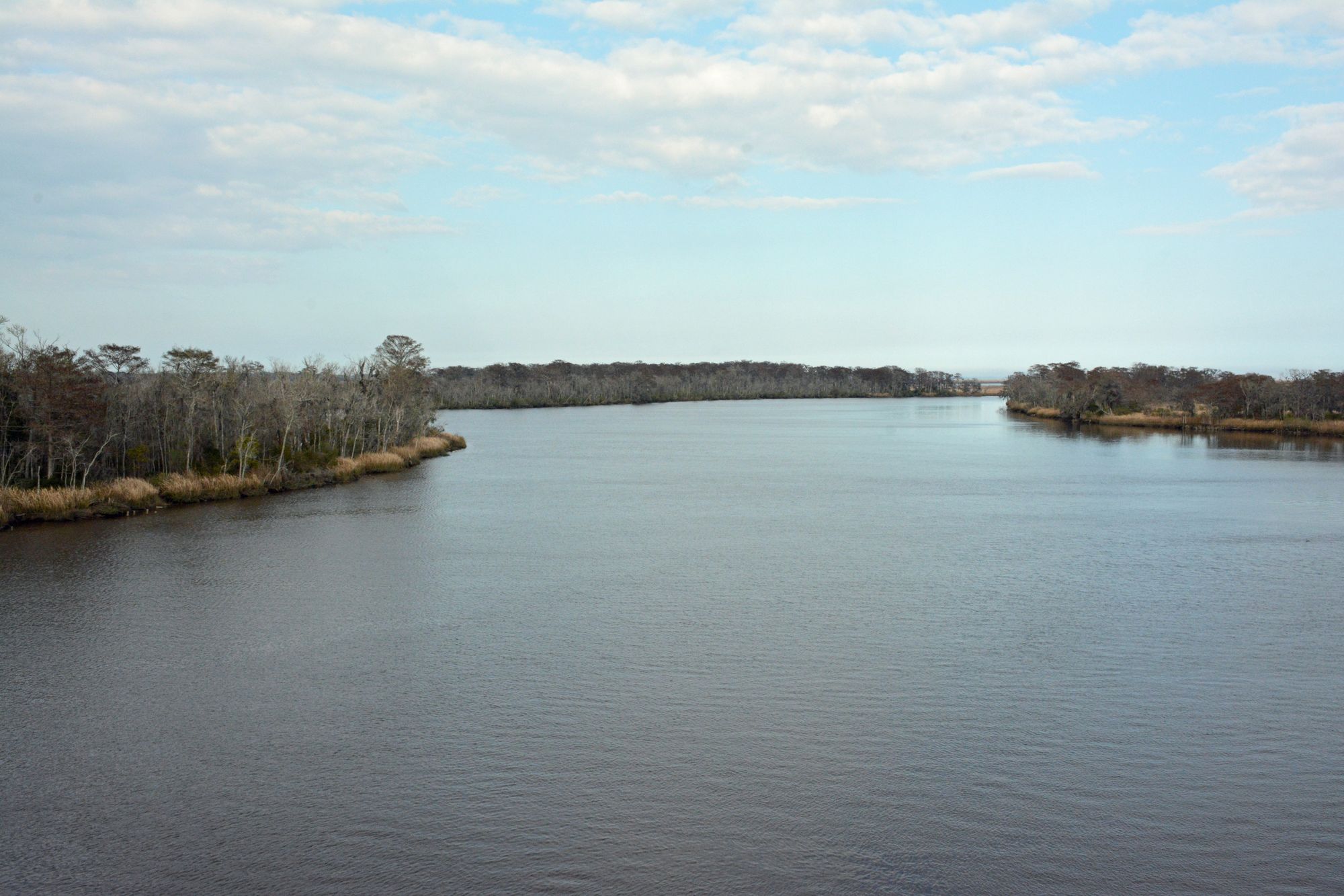
The Vernon River is a 12.5-mile tidal river flowing through Chatham County, Georgia, to the sea, characterized by expansive, open saltwater marsh environments. Paddlers describe it as "big water," indicating significant exposure to wind and fetch. A primary access point is the Vernon River Bridge, which offers easy access to boat ramps. Another documented launch is from Skidaway Narrows at Butterbean Beach, which provides a beach launch and parking. This launch point actually puts paddlers on the adjacent Skidaway River, requiring a paddle through connecting waterways like Moon River and a Burnside Island canal to reach the Vernon River proper. Tidal currents are a major factor for trip planning. One account details paddling on an outgoing tide, which provided assistance against the wind, and specifically timing an arrival at a destination for low tide and slack water. The river is part of the extensive Southeast Coast Saltwater Paddling Trail, an 800-mile route connecting coastal waters from the Chesapeake Bay to the Georgia-Florida border. A notable destination along the river is Green Island, a small island featuring a maritime forest with live oaks, pines, and cabbage palms, though it is privately owned. The island also has historical significance, containing Civil War-era fortifications. Wildlife evidence includes a robust population of wild pigs on Green Island. The area is used by motorized boats, as it connects with the Atlantic Intracoastal Waterway.
Water access, boat ramps & amenities
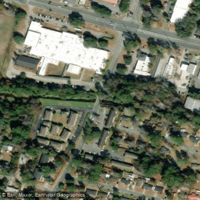
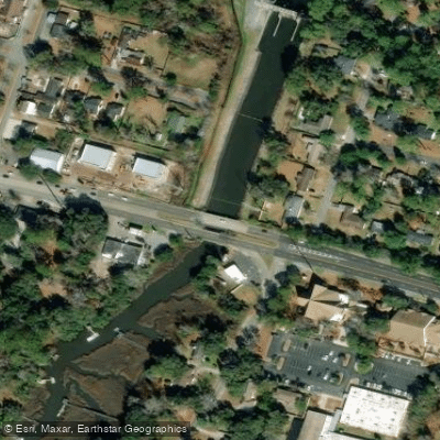
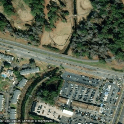
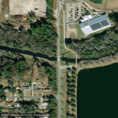
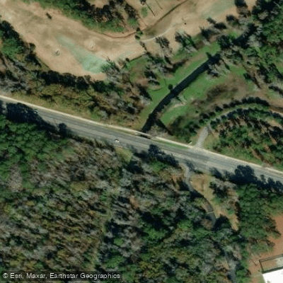
Learn how to get on Vernon River. Uncover great paddling access points, boat ramps, and all the facilities you need for an unforgettable day on the water. Some locations shown may border or include private property. Always check property boundaries and applicable regulations before visiting. PaddleWays's Public & Private Land layer can help you plan your access with confidence.
Paddle smarter with real-time insights
Whether you're en route and conditions shift or you're looking for the best spot based on current flows, we enable you to make informed decisions on the fly.








Find Places to Paddle

Over 400,000 Places to Paddle
Every user gets free access to launch points, boat ramps, and public property parcels.


Tides, wind & water conditions (10 day forecast)
On open water, wind and tide matter as much as the weather. See the best times to paddle Vernon River and check the marine forecast before you launch.
Loading tide predictions…
Paddling near Vernon River

Savannah River
Altamaha River
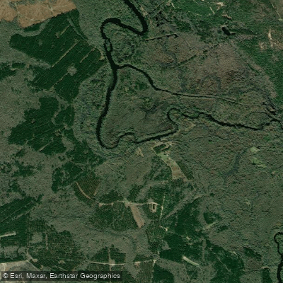
Ogeechee River
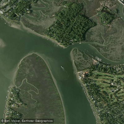
Wilmington River
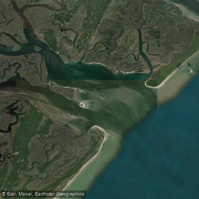
Ossabaw Sound
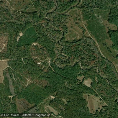
Canoochee River
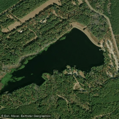
Sands Pond
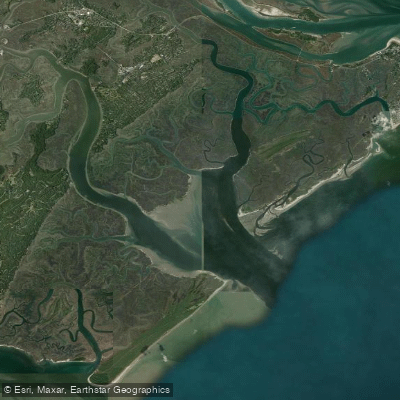
Wassaw Sound
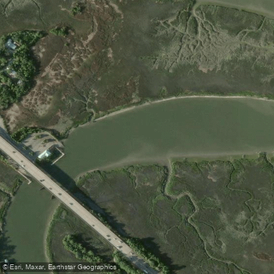
Turner Creek
Explore Georgia waters
Top paddling waters
Popular Cities
Loading popular cities...
Explore near Vernon River
Access points
Nearby waters
More in Georgia

Smarter Paddling Starts in the App.
Paddleways gives you everything you need to plan smarter, paddle better, and own every trip from first launch to takeout.