Sands Pond
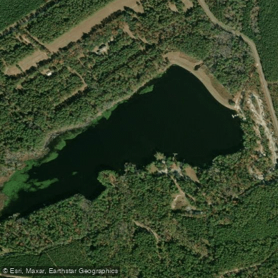
Sands Pond
- Boat Ramps
- 2
- Access Points
- 2
- Campsites
- 2
Sands Pond is a 64-acre (0.3 square kilometer) waterbody located in Evans County, Georgia, near the towns of Claxton and Hagan. The pond is part of a cluster of public fishing areas in the region, including the adjacent Evans County Public Fishing Area.
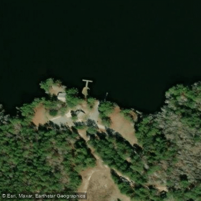
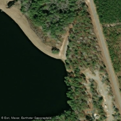
Location and Access The pond is situated at coordinates 32.1297, -81.7955. A new kayak launch, dock, walkway, and pavilion are being constructed to improve public access to the lake. The project includes ADA-compliant features to ensure accessibility for all visitors.
Lake Characteristics The pond is a relatively modest size at 64 acres. A significant portion includes dense lily pad areas, suggesting calm, protected waters suitable for flat-water paddling. Water temperatures in the area typically range seasonally from lows around 40°F (4°C) to highs around 62°F (16°C).
Access Infrastructure When completed, the new facilities will include: - A kayak launch - Dock with gangway - Concrete walkway - Pavilion - ADA-compliant features
Nearby Waters Sands Pond is surrounded by several other small lakes and ponds within a few miles: - Evans County Public Fishing Area (0.0 miles, 122 acres) - Bernard Smith Pond (0.6 miles, 18 acres) - De Loach Lower Pond (2.1 miles, 19 acres) - Tippins Lake (2.7 miles, 17 acres)
Area Amenities Gordonia-Alatamaha State Park is located in the vicinity, offering additional recreational opportunities. The surrounding area provides various accommodation options, including RV camping facilities in nearby communities.
Note: As of early 2024, construction of new access facilities is underway. Paddlers should verify completion status and current access conditions before planning their visit.
Water access, boat ramps & amenities
Learn how to get on Sands Pond. Uncover great paddling access points, boat ramps, and all the facilities you need for an unforgettable day on the water. Some locations shown may border or include private property. Always check property boundaries and applicable regulations before visiting. PaddleWays's Public & Private Land layer can help you plan your access with confidence.
Paddle smarter with real-time insights
Whether you're en route and conditions shift or you're looking for the best spot based on current flows, we enable you to make informed decisions on the fly.








Find Places to Paddle

Over 400,000 Places to Paddle
Every user gets free access to launch points, boat ramps, and public property parcels.


Water and weather conditions (10 day forecast)
See the best times to paddle Sands Pond and check the forecast before you go.
No forecast data available.
Paddling near Sands Pond

Savannah River
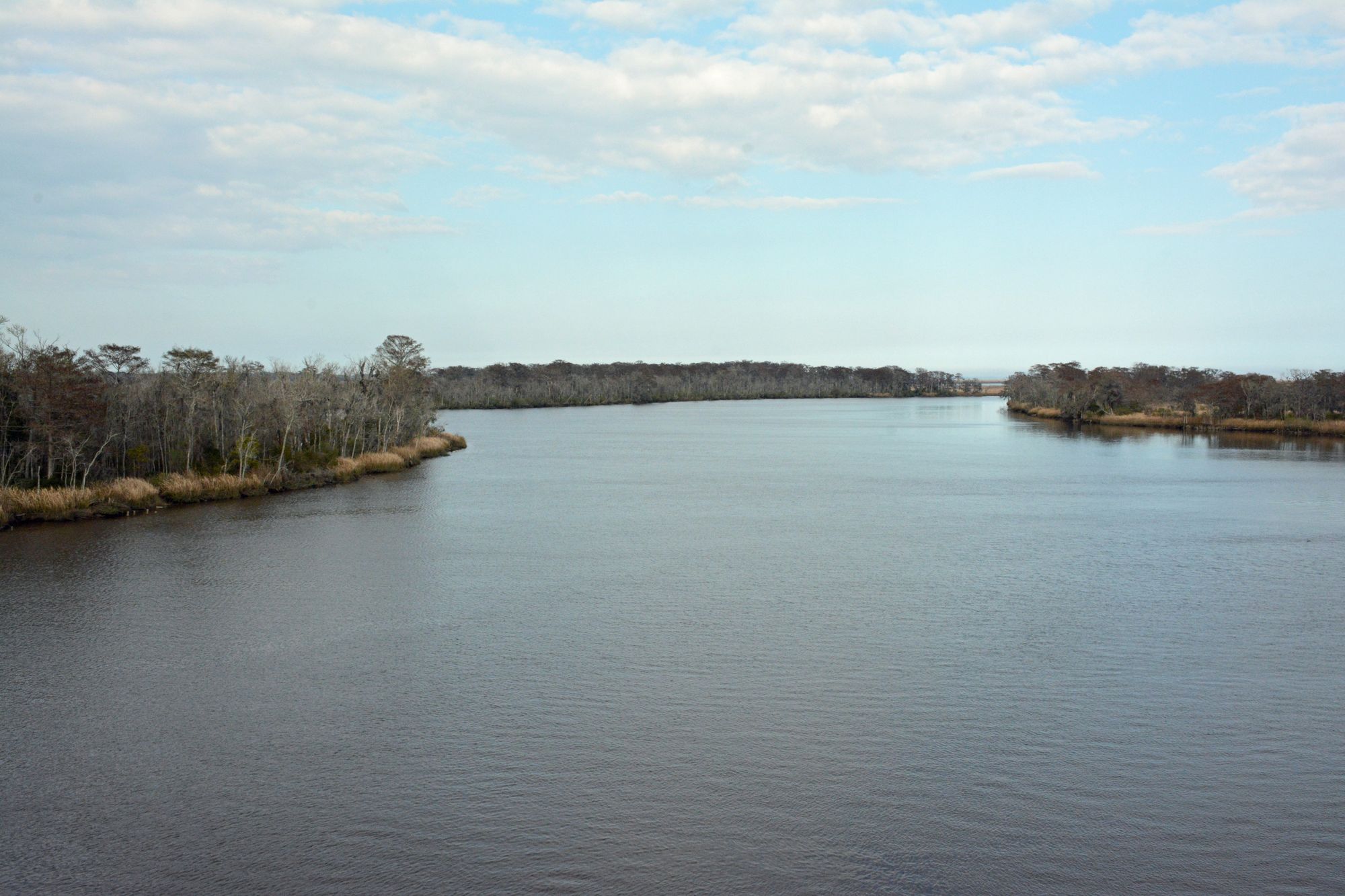
Altamaha River
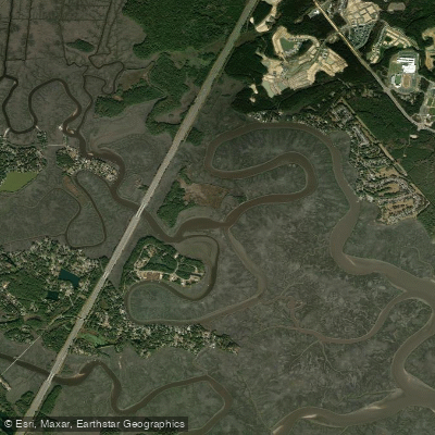
Jerico River
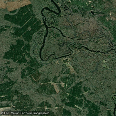
Ogeechee River
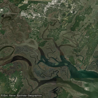
Vernon River
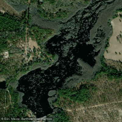
Watson Pond
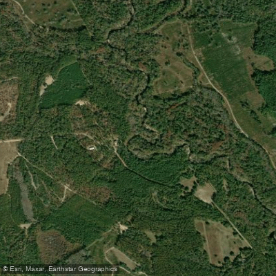
Canoochee River
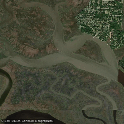
Grove River
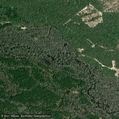
Ohoopee River
Explore Georgia waters
Top paddling waters
Popular Cities
Loading popular cities...
Explore near Sands Pond
Access points
Nearby waters
More in Georgia

Smarter Paddling Starts in the App.
Paddleways gives you everything you need to plan smarter, paddle better, and own every trip from first launch to takeout.