Jerico River
- Saltwater
- Tidal river
Jerico River
- Saltwater
- Tidal river
- Sq. miles
- 0.9
- Boat Ramps
- 0
- Access Points
- 0
- Campsites
- 0
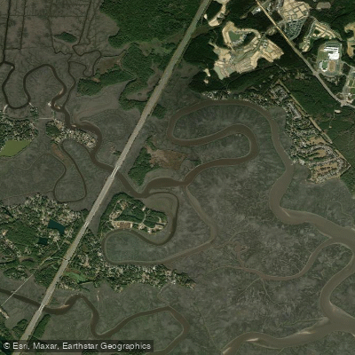
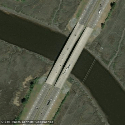
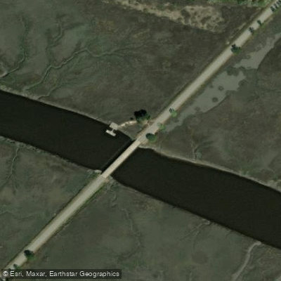
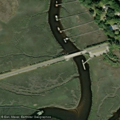
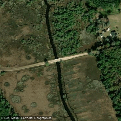
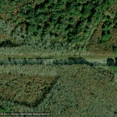
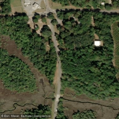
The Jerico River is a tidal river located in Bryan County, Georgia, near Richmond Hill, flowing through coastal marshland into the larger network of sounds and rivers that lead to the Atlantic Ocean. It is a brackish to saltwater feature, characterized by expansive marsh views. The river's primary known public access point for paddlers is the Jerico River Bridge, which provides access to both the Belfast River and Mount Hope Creek systems. Specific details on the exact launch facilities at this bridge are not provided. Another potential access point is "The Fish Camp," a private kayak launch within the Del Webb Savannah at Heartwood community, though its availability to the general public is unclear. The river is subject to tidal currents, and paddlers must plan their trips around the tide stages, as these currents will significantly affect travel speed and effort, especially when navigating the connections to larger waterways like the Canoochee River. The open marsh environment means paddlers are exposed to wind, which can create chop, particularly over long stretches of fetch. Boat traffic is a consideration, as the river is used by powerboats, and the area near Dolphin Island has proposals for community boat lifts, indicating active marine use. There are no mentions of a surf zone, suggesting the river is sheltered from direct ocean swell. The paddling experience is defined by a low-country coastal marsh aesthetic, with wide, grassy vistas. Wildlife likely includes coastal birds and marine species common to Georgia's salt marshes. Water quality is typical of a tidal marsh system. There is no information on specific paddling restrictions, recommended routes, seasonal water temperatures, or dedicated paddler facilities like restrooms or outfitters.
Water access, boat ramps & amenities
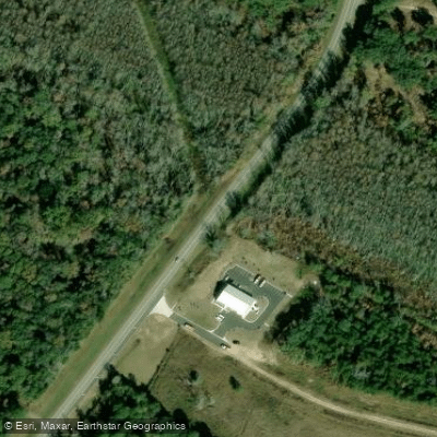
Learn how to get on Jerico River. Uncover great paddling access points, boat ramps, and all the facilities you need for an unforgettable day on the water. Some locations shown may border or include private property. Always check property boundaries and applicable regulations before visiting. PaddleWays's Public & Private Land layer can help you plan your access with confidence.
Paddle smarter with real-time insights
Whether you're en route and conditions shift or you're looking for the best spot based on current flows, we enable you to make informed decisions on the fly.








Find Places to Paddle

Over 400,000 Places to Paddle
Every user gets free access to launch points, boat ramps, and public property parcels.


Tides, wind & water conditions (10 day forecast)
On open water, wind and tide matter as much as the weather. See the best times to paddle Jerico River and check the marine forecast before you launch.
Loading tide predictions…
Paddling near Jerico River

Savannah River
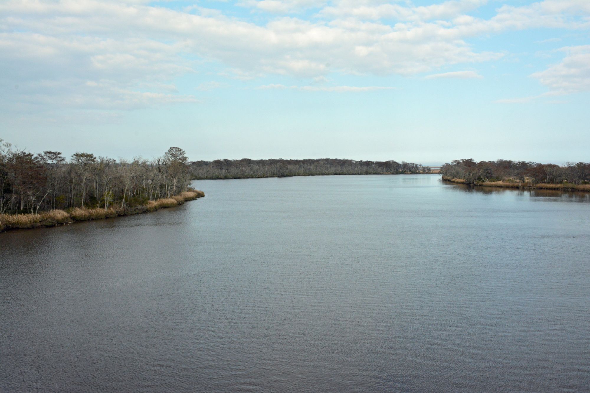
Altamaha River
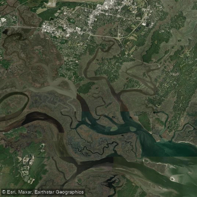
Vernon River
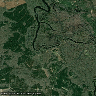
Ogeechee River
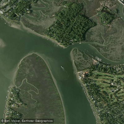
Wilmington River
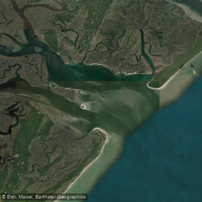
Ossabaw Sound
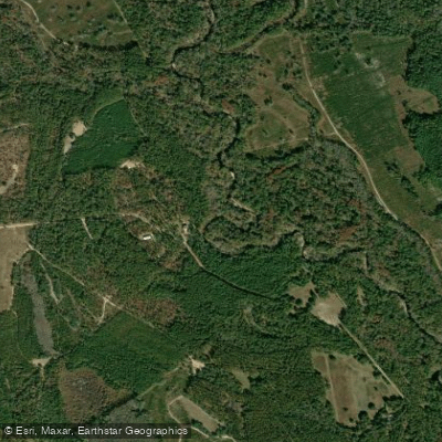
Canoochee River
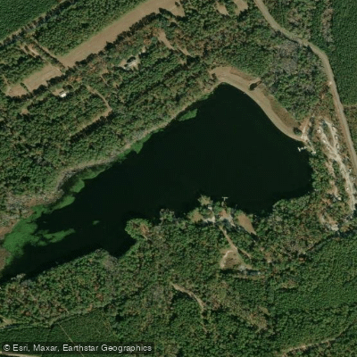
Sands Pond
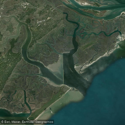
Wassaw Sound
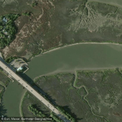
Turner Creek
Explore Georgia waters
Top paddling waters
Popular Cities
Loading popular cities...
Explore near Jerico River
Access points
Nearby waters
More in Georgia

Smarter Paddling Starts in the App.
Paddleways gives you everything you need to plan smarter, paddle better, and own every trip from first launch to takeout.