Spring Creek
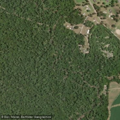
Spring Creek
- Boat Ramps
- 2
- Access Points
- 2
- Campsites
- 5
Spring Creek originates in the southwestern corner of Georgia, flowing southward through Clay and Calhoun Counties before entering Seminole, Decatur, Early, and Miller Counties. As the southernmost tributary of the Flint River, this stream-fed waterway eventually reaches Lake Seminole near the Georgia-Florida border. The creek's headwaters lie in Clay and Calhoun Counties, with the river maintaining a generally southern trajectory throughout its course.
The paddling opportunities on Spring Creek are documented in "Canoeing & Kayaking Georgia," which describes the waterway as exotic and beautiful. The creek offers Class I (+) paddling conditions, with numerous deadfalls presenting the primary navigation hazard. The crystal-clear, stream-fed waters reveal underwater plant life, spring "boils," and a limestone bottom when water levels subside after spring rains.
From US 27 to Smith Landing, paddlers can experience approximately 27.9 miles of intimate, diminutive creek paddling that transitions into the Lake Seminole pool near the Seaboard Coast Line rail crossing. Spring Creek is typically runnable upstream of US 84 from November through June, while sections below US 84 remain navigable year-round. Minimum runnable flows begin at 125 cubic feet per second, measured at the USGS gauge at Lane Bridge Road near Iron City. During high water conditions (around 4,500 cfs), the uppermost 9.6-mile stretch provides hospitable swamp paddling through flooded forests and broader braided channels.
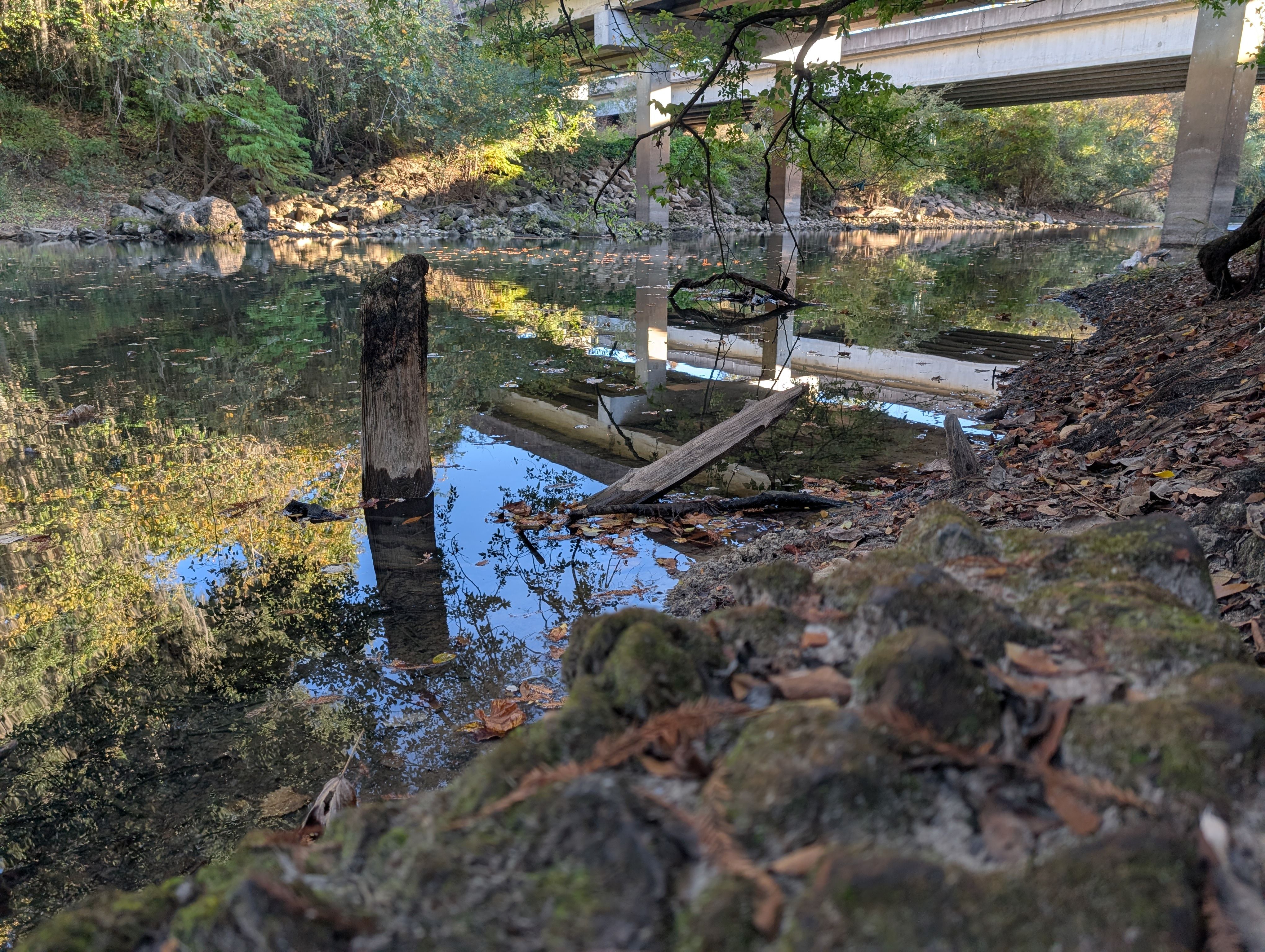
The creek corridor features large cypress trees draped with Spanish moss, high banks that eliminate typical wet floodplain vegetation, and limestone outcroppings that enhance the wilderness character. Planer trees, pines, and hardwood forests surround the waterway, while small shoals and rocky shallows add interest to the paddling experience. The partially shaded stream supports abundant fish and mollusks visible from canoes.
Access points include US 27 (the northernmost put-in in Miller County), CR 190, Lane Bridge Road, US 84, and Smith Landing (the takeout in Decatur County), all reachable via GA 310. Access becomes progressively more developed proceeding downstream, with Smith Landing Road providing the final access point near Lake Seminole. Paddlers should note that wire fences may cross the stream channel upstream of Whites Bridge Road, and development pressure around Lake Walter F. George continues to influence the lower sections. The creek's location within an important groundwater recharge area adds ecological significance to this southwestern Georgia waterway.
Water access, boat ramps & amenities
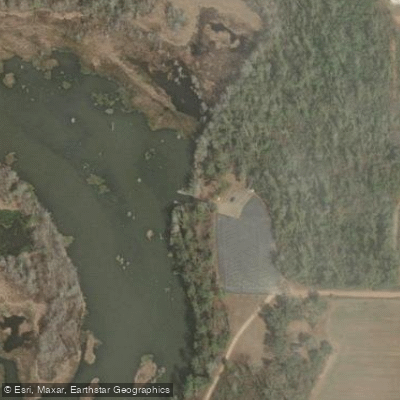
Learn how to get on Spring Creek. Uncover great paddling access points, boat ramps, and all the facilities you need for an unforgettable day on the water. Some locations shown may border or include private property. Always check property boundaries and applicable regulations before visiting. PaddleWays's Public & Private Land layer can help you plan your access with confidence.
Paddle smarter with real-time insights
Whether you're en route and conditions shift or you're looking for the best spot based on current flows, we enable you to make informed decisions on the fly.








Find Places to Paddle

Over 400,000 Places to Paddle
Every user gets free access to launch points, boat ramps, and public property parcels.


Water and weather conditions (10 day forecast)
See the best times to paddle Spring Creek and check the forecast before you go.
SPRING CREEK APPROX .25 MI US US27 NR COLQUITT, GA
All Flow Stations
Paddling near Spring Creek
Choctawhatchee River

Chattahoochee River
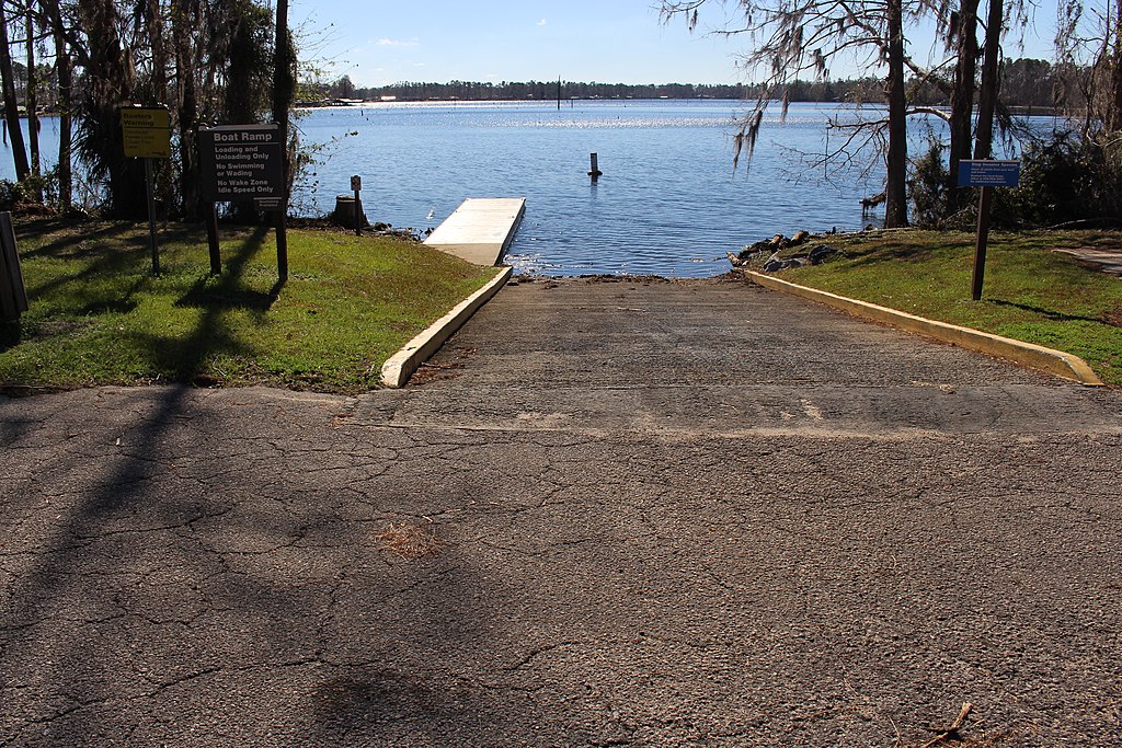
Lake Seminole
Chipola River
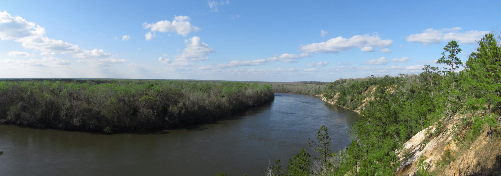
Apalachicola River

Flint River
Econfina Creek
Holmes Creek
Walter F George Reservoir
Merritts Mill Pond
Explore Georgia waters
Top paddling waters
Popular Cities
Loading popular cities...
Explore near Spring Creek
Access points
Nearby waters
More in Georgia

Smarter Paddling Starts in the App.
Paddleways gives you everything you need to plan smarter, paddle better, and own every trip from first launch to takeout.