Stamp Creek
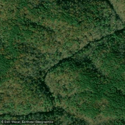
Stamp Creek
- Boat Ramps
- 1
- Access Points
- 2
- Campsites
- 5
Stamp Creek flows through the Blue Ridge foothills of northwest Georgia, originating in the Pine Log Wildlife Management Area in Bartow County before making its way through Cherokee County and eventually emptying into the northern arm of Lake Allatoona. The creek's name derives from a historical mineral lick where livestock would stamp the ground, creating a distinctive gathering place for early settlers and their animals.
The creek runs approximately 9 miles through a landscape characterized by mixed hardwood forests, oak-pine communities, and riparian corridors typical of the southern Blue Ridge ecoregion. The watershed encompasses portions of the Etowah River basin, with the creek serving as a tributary that contributes to the larger Coosa River system downstream.
Paddling opportunities on Stamp Creek are limited by its relatively small size and seasonal flow variations. The upper section from Bartow County Road 269 downstream to Georgia Highway 20 near Cartersville flows through more forested terrain, while the lower section from Highway 20 to the Stamp Creek Day Use Area on Lake Allatoona transitions into the reservoir environment. Water levels fluctuate significantly with rainfall, and the creek is most navigable during spring and after substantial precipitation events.
Georgia fishing regulations designate the Stamp Creek watershed upstream from Bartow County Road 269 as trout water, open for fishing year-round. This designation reflects the creek's cooler temperatures and suitable habitat conditions in its upper reaches. The watershed supports typical Piedmont and Blue Ridge aquatic species, though specific documentation of flora and fauna is limited.
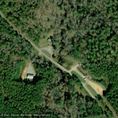
Access to the creek is available at several points. The Stamp Creek Day Use Area provides public access near the creek's confluence with Lake Allatoona, offering boat ramp facilities managed by the U.S. Army Corps of Engineers. Georgia Highway 20 crosses the creek near Cartersville in Bartow County, providing another potential access point. The upper watershed within the Pine Log Wildlife Management Area offers more remote access for those willing to navigate forest roads.
Historical water quality monitoring conducted in the early 1990s and again in 2001 identified elevated fecal coliform bacteria levels, leading to the creek's temporary placement on Georgia's impaired waters list. Subsequent septic system repairs in the watershed, completed in 2009 with Clean Water Act Section 319 funding, successfully addressed these issues. Follow-up monitoring from 2009-2011 demonstrated improved water quality, resulting in the creek's removal from the impaired waters list in 2012.
The watershed remains predominantly low-density residential with scattered agricultural areas, particularly in the lower reaches near Cartersville. Paddlers should exercise caution when approaching Lake Allatoona, where boat traffic increases significantly during warm-weather months.
Water access, boat ramps & amenities
Learn how to get on Stamp Creek. Uncover great paddling access points, boat ramps, and all the facilities you need for an unforgettable day on the water. Some locations shown may border or include private property. Always check property boundaries and applicable regulations before visiting. PaddleWays's Public & Private Land layer can help you plan your access with confidence.
Paddle smarter with real-time insights
Whether you're en route and conditions shift or you're looking for the best spot based on current flows, we enable you to make informed decisions on the fly.








Find Places to Paddle

Over 400,000 Places to Paddle
Every user gets free access to launch points, boat ramps, and public property parcels.


Water and weather conditions (10 day forecast)
See the best times to paddle Stamp Creek and check the forecast before you go.
No forecast data available.
Paddling near Stamp Creek
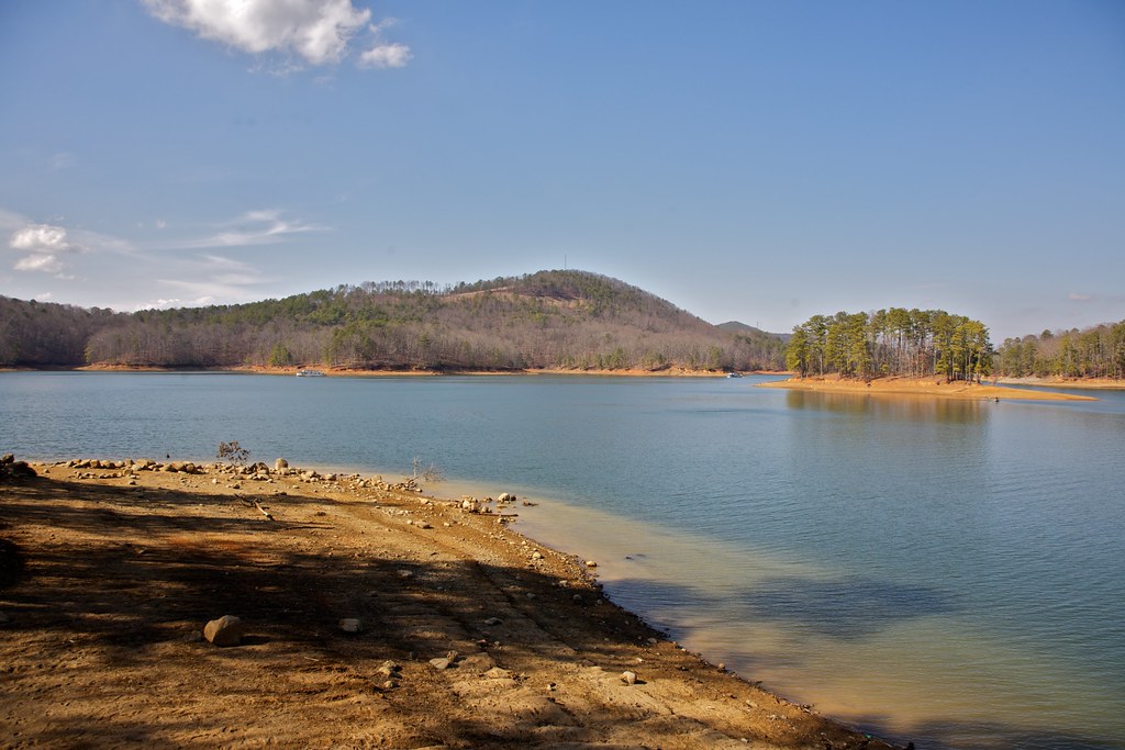
Allatoona Lake
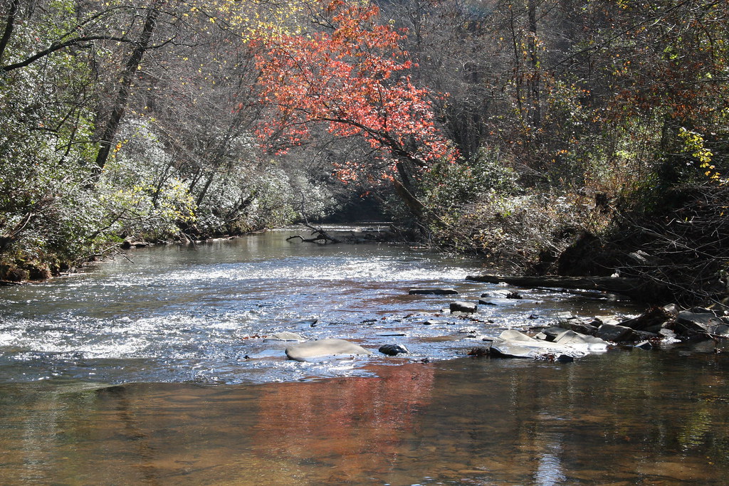
Etowah River

Chattahoochee River
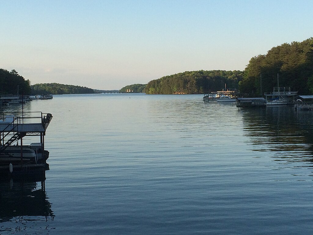
Lake Sidney Lanier

Flint River
Weiss Lake
Lake Acworth
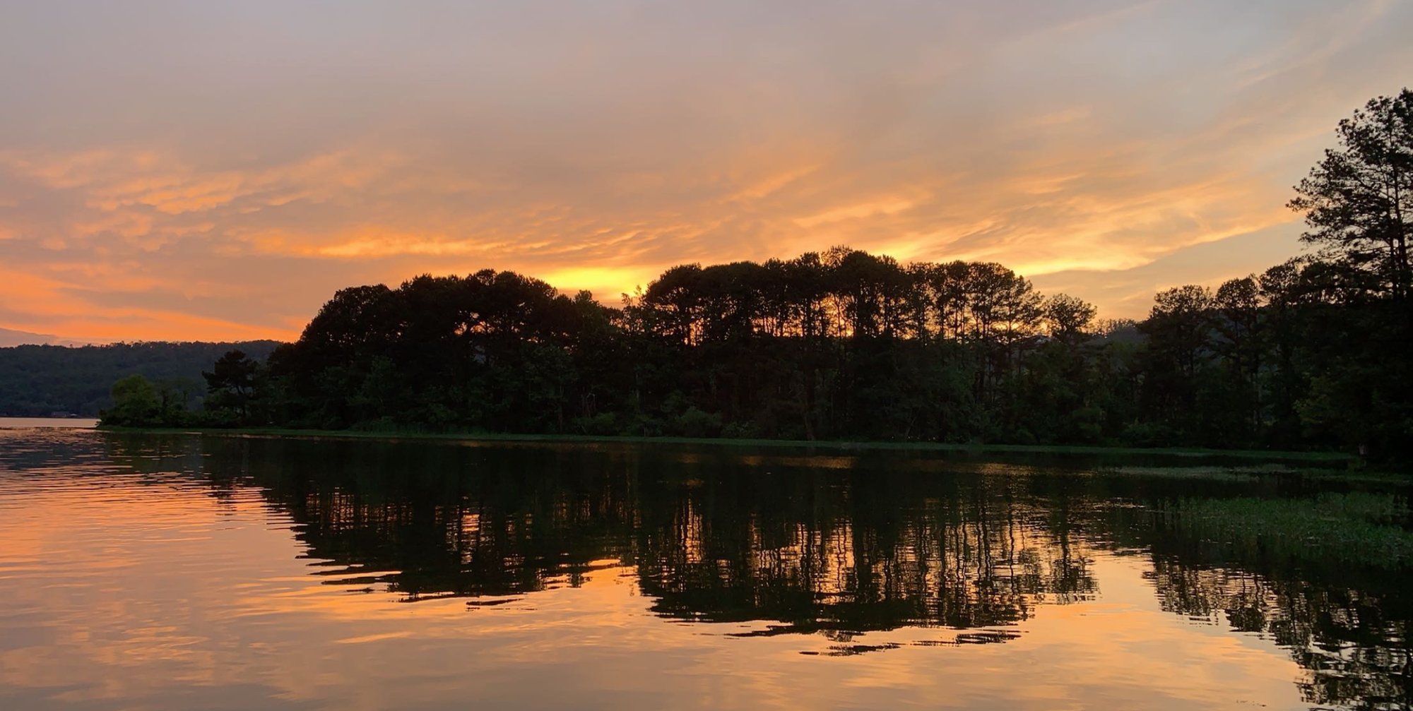
Coosa River
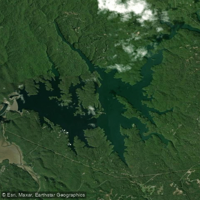
Carters Lake
Explore Georgia waters
Top paddling waters
Popular Cities
Loading popular cities...
Explore near Stamp Creek
Access points
Nearby waters
More in Georgia

Smarter Paddling Starts in the App.
Paddleways gives you everything you need to plan smarter, paddle better, and own every trip from first launch to takeout.