Towaliga River
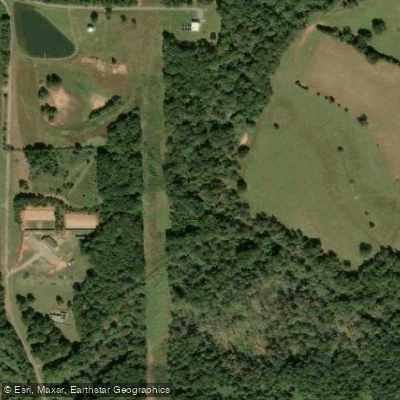
Towaliga River
- Boat Ramps
- 1
- Access Points
- 3
- Campsites
- 2
The Towaliga River is a scenic 52-mile long waterway in central Georgia, originating in Spalding County and flowing southeast to join the Ocmulgee River. This tributary of the Ocmulgee drains portions of the Piedmont region, passing through Monroe and Butts counties before its confluence near Juliette.
Paddlers can enjoy several distinct sections of the Towaliga, each offering unique experiences. The most popular stretch begins at High Falls State Park, featuring a dramatic 100-foot cascading waterfall - the tallest south of Atlanta. This 2-mile section, rated Class I-III+ (V), provides exciting whitewater amidst beautiful scenery. Downstream, the 8.5-mile run from High Falls to Highway 42 offers a mix of bouncy rapids and calm pools, suitable for intermediate paddlers. Below Highway 42, the river's character changes significantly. The rocky terrain gives way to a meandering flatwater stream, ideal for novice paddlers and fishing enthusiasts. A 10-mile section from Mayfield Road to Highway 83 provides a relaxing float through rural Georgia landscapes.
The Towaliga is typically paddled from spring through fall, with optimal water levels in late spring and early summer. During these times, paddlers may encounter diverse wildlife including herons, turtles, and occasionally river otters. The surrounding forests showcase a mix of hardwoods and pines typical of the Georgia Piedmont.
Key access points include High Falls State Park, Mayfield Road near Blount, and Highway 83 near Juliette. The park offers kayak and canoe rentals, making it a convenient starting point for day trips. For those seeking a longer adventure, primitive paddle-in campsites are available downriver from High Falls.
Historically, the Towaliga played a role in powering mills and small industries along its banks. Today, it serves as a valuable recreational resource and an important part of the Ocmulgee River watershed. The name Towaliga is derived from a Creek Indian term meaning roasted scalp, hinting at the area's rich Native American heritage.
Paddlers should be aware of Georgia boating regulations, particularly regarding life jackets. While much of the river is suitable for beginners, the High Falls section requires more experience and should not be attempted by novices, especially at high water levels. For those looking to extend their journey, it's possible to continue past the Towaliga's confluence with the Ocmulgee, creating multi-day trip options that showcase the best of central Georgia's river systems.
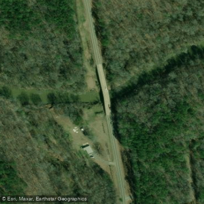
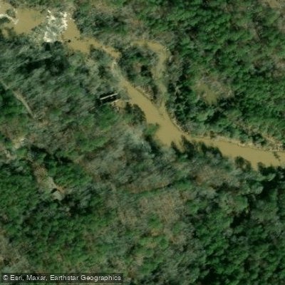
Water access, boat ramps & amenities
Learn how to get on Towaliga River. Uncover great paddling access points, boat ramps, and all the facilities you need for an unforgettable day on the water. Some locations shown may border or include private property. Always check property boundaries and applicable regulations before visiting. PaddleWays's Public & Private Land layer can help you plan your access with confidence.
Paddle smarter with real-time insights
Whether you're en route and conditions shift or you're looking for the best spot based on current flows, we enable you to make informed decisions on the fly.








Find Places to Paddle

Over 400,000 Places to Paddle
Every user gets free access to launch points, boat ramps, and public property parcels.


Water and weather conditions (10 day forecast)
See the best times to paddle Towaliga River and check the forecast before you go.
TOWALIGA RIVER AT GA 83 NEAR JULIETTE, GA
Paddling near Towaliga River

Flint River
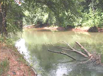
Ocmulgee River

Chattahoochee River
Lake Sinclair
Heads Creek Reservoir
High Falls Lake
Harbins Lake
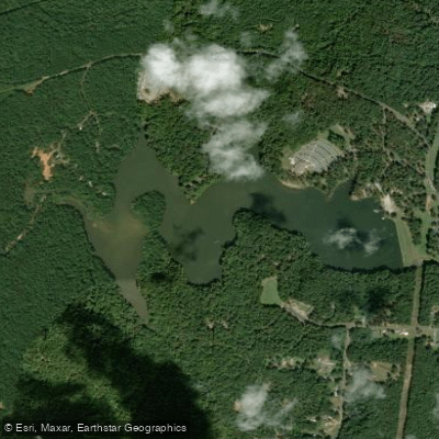
Chief McIntosh Lake
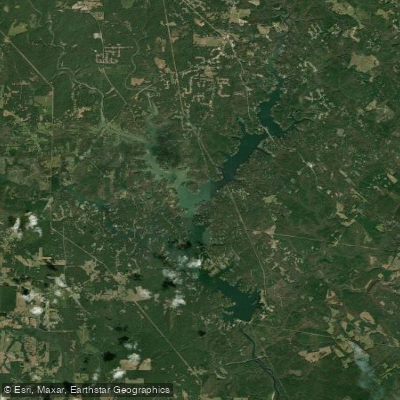
Jackson Lake
Explore Georgia waters
Top paddling waters
Popular Cities
Loading popular cities...
Explore near Towaliga River
Access points
Nearby waters
More in Georgia

Smarter Paddling Starts in the App.
Paddleways gives you everything you need to plan smarter, paddle better, and own every trip from first launch to takeout.