Curated by PaddleWays
RouteFlatwater
- Distance
- 5.1 mi
- Paddle time
- ~1.5 hrs
- Best for
- All skill levels
- Put-in → take-out
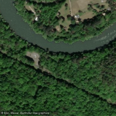
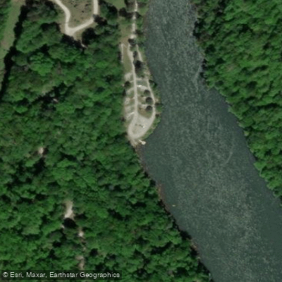
- Yonah Campground Boat Ramp → Walker Creek Boat Ramp
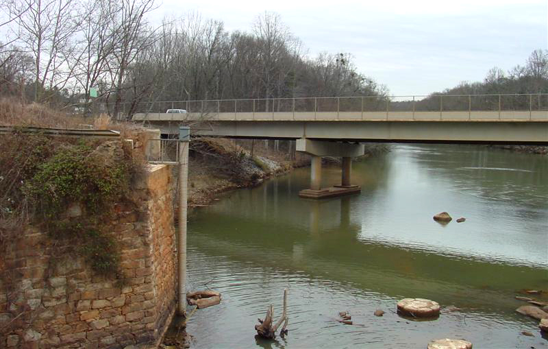
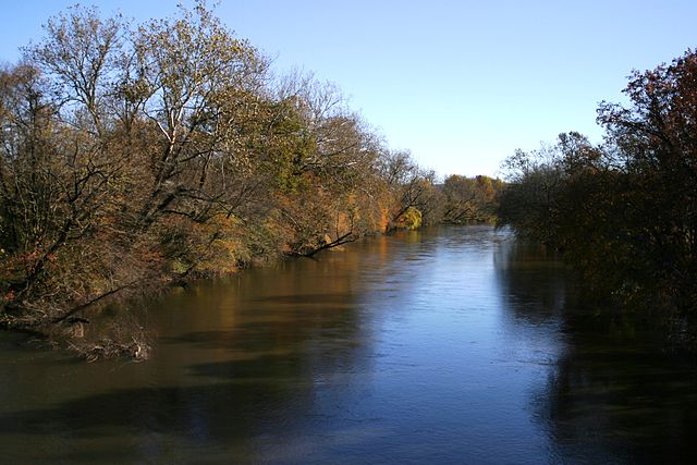
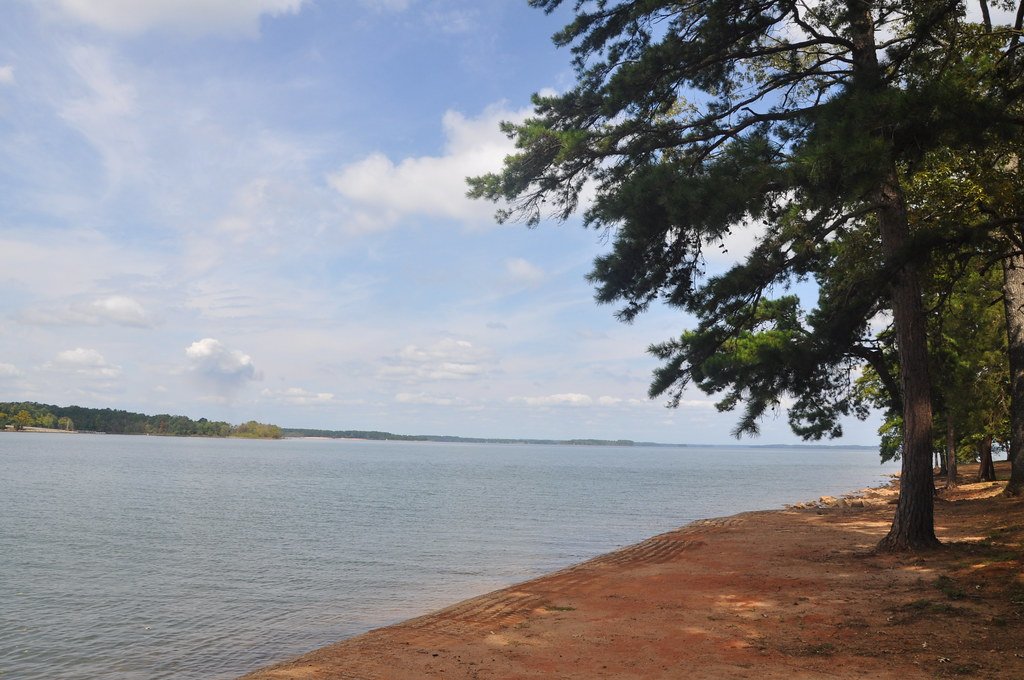
The Tugaloo River is a scenic waterway that forms part of the border between Georgia and South Carolina. It originates at the confluence of the Tallulah and Chattooga Rivers and flows southeast for approximately 45 miles before emptying into Lake Hartwell. The river is part of the Savannah River watershed. Paddling opportunities on the Tugaloo range from flatwater to mild whitewater, making it suitable for a variety of skill levels.
The recently established Tugaloo River Water Trail offers a 10-mile stretch from Yonah Dam to Broken Bridges, showcasing some of the most beautiful scenery in the area. This section is primarily flatwater with occasional Class I rapids, ideal for beginners and intermediate paddlers. The river can be paddled year-round, but spring and fall offer the most comfortable temperatures and scenic views. Summer provides warmer water for swimming, while winter paddling requires cold-water gear.
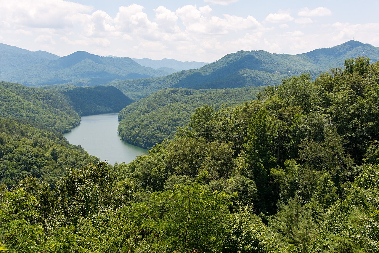
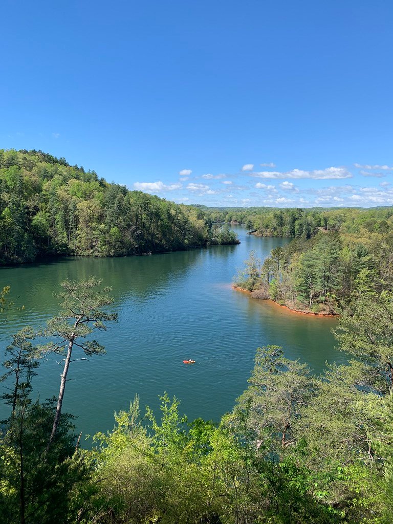
The Tugaloo's banks are lined with diverse hardwood forests, providing habitat for a variety of wildlife including deer, turkey, and numerous bird species. The river is also known for its excellent fishing, particularly for bass, bluegill, and walleye. Key landmarks include Yonah Dam, Walker Creek, and the historic Broken Bridges area. The river passes through land rich in Native American history, particularly Cherokee, adding cultural interest to paddling trips.
Primary access points include: 1. Panther Creek at Yonah Park (near Toccoa, GA) 2. Walker Creek Boat Ramp 3. Broken Bridges Park (near Lake Hartwell)
The Tugaloo holds significant historical importance as a boundary between Cherokee and Creek territories and later between the states of Georgia and South Carolina. Archaeological sites like Tugaloo Town, now submerged under Lake Hartwell, attest to the area's long human habitation.
Paddlers should be aware of potential dam releases from Yonah Dam, which can affect water levels and flow rates. It's advisable to check current conditions before embarking on a trip. While mostly calm, some sections can become challenging during high water. For those interested in multi-day adventures, the Tugaloo can be combined with paddling on Lake Hartwell or connected to trips on the Chattooga River for extended journeys through this beautiful region of the Southeast.
Curated routes
Hand-picked by the PaddleWays team, with put-ins, take-outs, paddle times and the hazards along the way.
RouteFlatwater
RouteFlatwater
Hazards
No paddler has reported a hazard here yet, so these are the dams, falls and big rapids on our map. Hazards change with flows and storms, so check them before you launch.
From the community
Nobody has shared a trip on Tugaloo River yet. Paddle it, then tell the next paddler how it went.
See exactly where the public can get on and off the river. Launch points and boat ramps are paired with PaddleWays' public land data so you know where you can legally land.
Public shoreline
85%of the river's shoreline is public
Flows, weather and a route-by-route verdict, so you know which stretch of the Tugaloo River is worth paddling today.
No forecast data available.
Live flows, marked hazards and fresh trip reports from paddlers who were just on the water, all in one place.





Every user gets free access to launch points, boat ramps, and public property parcels.
Loading popular cities...
PaddleWays gives you everything you need to plan smarter, paddle better, and own every trip from first launch to takeout.