Simonton Lake
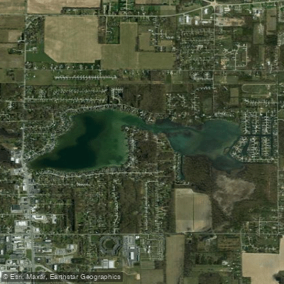
Simonton Lake
- Boat Ramps
- 1
- Access Points
- 1
- Campsites
- 2
Simonton Lake encompasses 289 acres in Elkhart County, Indiana, with a maximum depth of 33 feet. Created in the early 1900s by damming Christiana Creek, the lake's outflow connects to the St. Joseph River. The lake is fed by several small streams and urban/agricultural runoff.
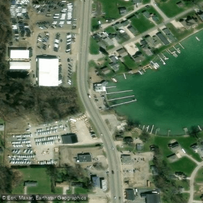
A public boat launch is located off CR 109 north (51100 Maple Grove) in Elkhart. This state-maintained access point includes a boat ramp, portable restroom facilities, and parking area. The site is managed by the Indiana Department of Natural Resources.
The lake supports multiple recreational activities including boating, fishing, and swimming. The expansive waters provide plenty of space for day-trip paddling adventures. The shoreline features a mix of residential development and natural areas, with some picnic spots and public parks along the water's edge.
Paddlers should be aware that this is an active recreational lake with other boat traffic. The lake's relatively small size means motorized vessels and paddlecraft share limited space, particularly during peak summer seasons.
Wildlife viewing opportunities exist around the lake, with waterfowl including ducks and cranes frequently observed. The lake is part of the Indiana Clean Lakes Program, which monitors water quality, though specific water quality data is not publicly detailed.
The surrounding community maintains strong ties to the lake, hosting various seasonal events and activities throughout the year. Glacial stone seawalls line portions of the shoreline, reflecting the lake's geological heritage and current erosion management practices.
Water access, boat ramps & amenities
Learn how to get on Simonton Lake. Uncover great paddling access points, boat ramps, and all the facilities you need for an unforgettable day on the water. Some locations shown may border or include private property. Always check property boundaries and applicable regulations before visiting. PaddleWays's Public & Private Land layer can help you plan your access with confidence.
Paddle smarter with real-time insights
Whether you're en route and conditions shift or you're looking for the best spot based on current flows, we enable you to make informed decisions on the fly.








Find Places to Paddle

Over 400,000 Places to Paddle
Every user gets free access to launch points, boat ramps, and public property parcels.


Water and weather conditions (10 day forecast)
See the best times to paddle Simonton Lake and check the forecast before you go.
No forecast data available.
Paddling near Simonton Lake
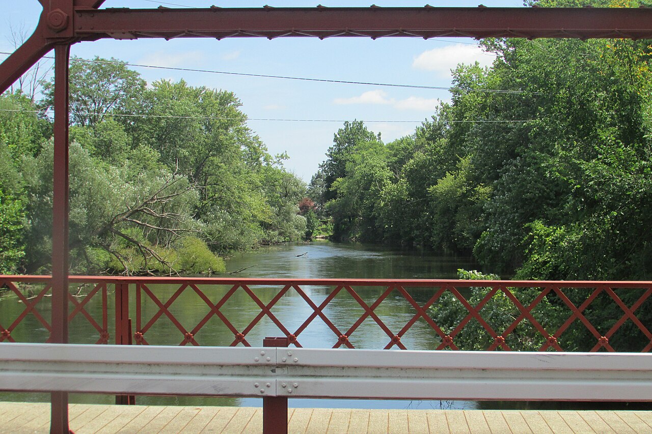
Elkhart River
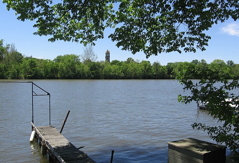
Kankakee River
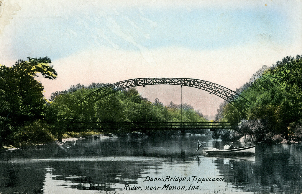
Tippecanoe River

Lake Michigan
Eel River
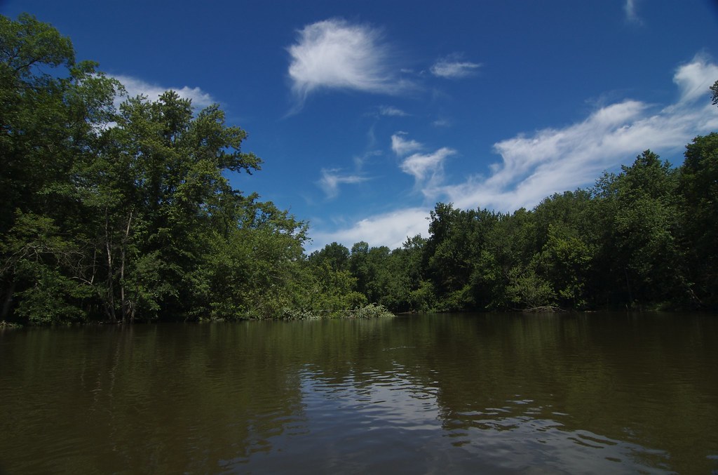
Kalamazoo River
Saint Joseph River
Pigeon River
Juno Lake
Explore Indiana waters
Top paddling waters
Popular Cities
Loading popular cities...
Explore near Simonton Lake
Access points
Nearby waters
More in Indiana

Smarter Paddling Starts in the App.
Paddleways gives you everything you need to plan smarter, paddle better, and own every trip from first launch to takeout.