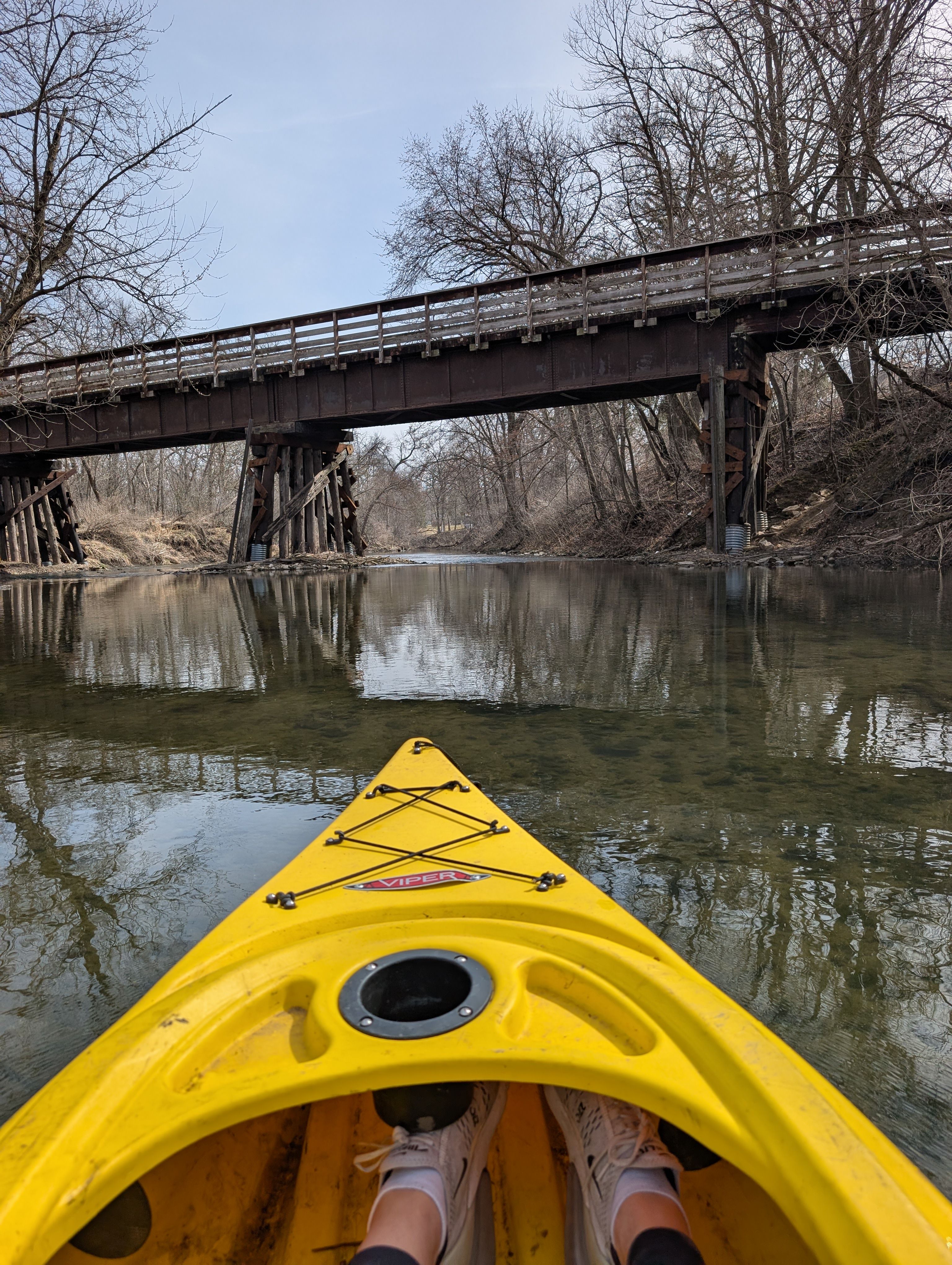
Curated by PaddleWays
RouteFlatwater
- Distance
- 4.4 mi
- Paddle time
- ~1.5 hrs
- Put-in → take-out
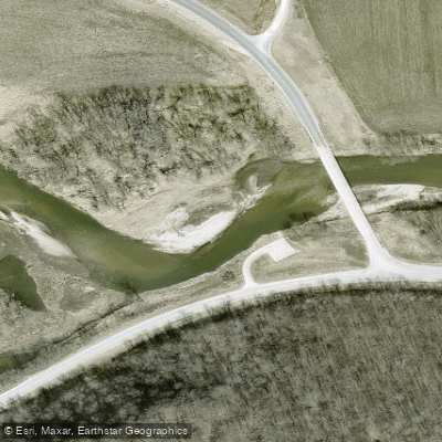
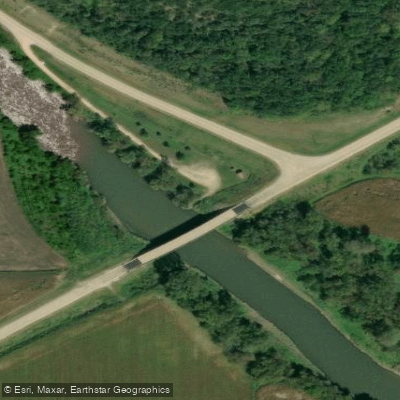
- Cattle Creek Road Access → Chimney Rock Park Access
The Upper Iowa River is a scenic waterway that originates near Le Roy, Minnesota and flows southeast for approximately 156 miles before joining the Mississippi River near New Albin, Iowa. This picturesque river winds through the Driftless Area, carving a path through limestone bluffs and forested valleys. Paddling opportunities abound on the Upper Iowa, with popular sections including Chester to Lime Springs (7.5 miles), Kendallville to Bluffton (12 miles), and Decorah to Iverson Bridge (15 miles).
The river offers a range of difficulties, from flatwater stretches suitable for beginners to Class I-II rapids that provide excitement for more experienced paddlers. Most sections are appropriate for canoes and kayaks. The best paddling season typically runs from spring through fall, with optimal water levels usually occurring in late spring and early summer. Autumn trips offer stunning foliage views. Water levels can fluctuate significantly, so checking current conditions is advised.
The river corridor supports diverse ecosystems, including limestone cliff communities, floodplain forests, and prairie remnants. Wildlife sightings may include bald eagles, herons, turtles, and various fish species. The cold-water streams feeding into the Upper Iowa support excellent trout populations.
Key landmarks include Malanaphy Springs, a 10-foot waterfall accessible from the river, the picturesque Bluffton Fir Stand, and the quaint town of Decorah with its charming riverside parks. Numerous limestone outcroppings and scenic bluffs line the route. Major access points include Chester, Lime Springs, Kendallville, Bluffton, and multiple locations in Decorah. These small towns offer amenities for paddlers.
The Upper Iowa River holds significant cultural importance, having been one of the first nominated for National Wild and Scenic River status in the 1960s. Though it didn't receive the designation, local conservation efforts have helped preserve its natural character.
Safety considerations include checking water levels, watching for strainers and low-head dams, and being prepared for remote stretches with limited cell service. Iowa regulations require life jackets and boat registration for vessels over 13 feet. Multi-day trips are possible, with popular options including the 28-mile stretch from Lime Springs to Kendallville or longer journeys from Kendallville to Decorah. Primitive camping is available at designated sites along the river.
With its stunning scenery, diverse paddling options, and rich natural history, the Upper Iowa River offers a premier Midwest paddling experience for all skill levels.
Curated routes
Hand-picked by the PaddleWays team, with put-ins, take-outs, paddle times and the hazards along the way.
RouteFlatwater
RouteClass II
RouteClass I–II
RouteClass I–II
RouteClass I–II
Hazards
No paddler has reported a hazard here yet, so these are the dams, falls and big rapids on our map. Hazards change with flows and storms, so check them before you launch.
From the community
Real trips from PaddleWays paddlers: which route they ran, how the flows were, and what to watch for.
Loading trip reports
Dean M.
376 cfs at Bluffton
8 of us boys
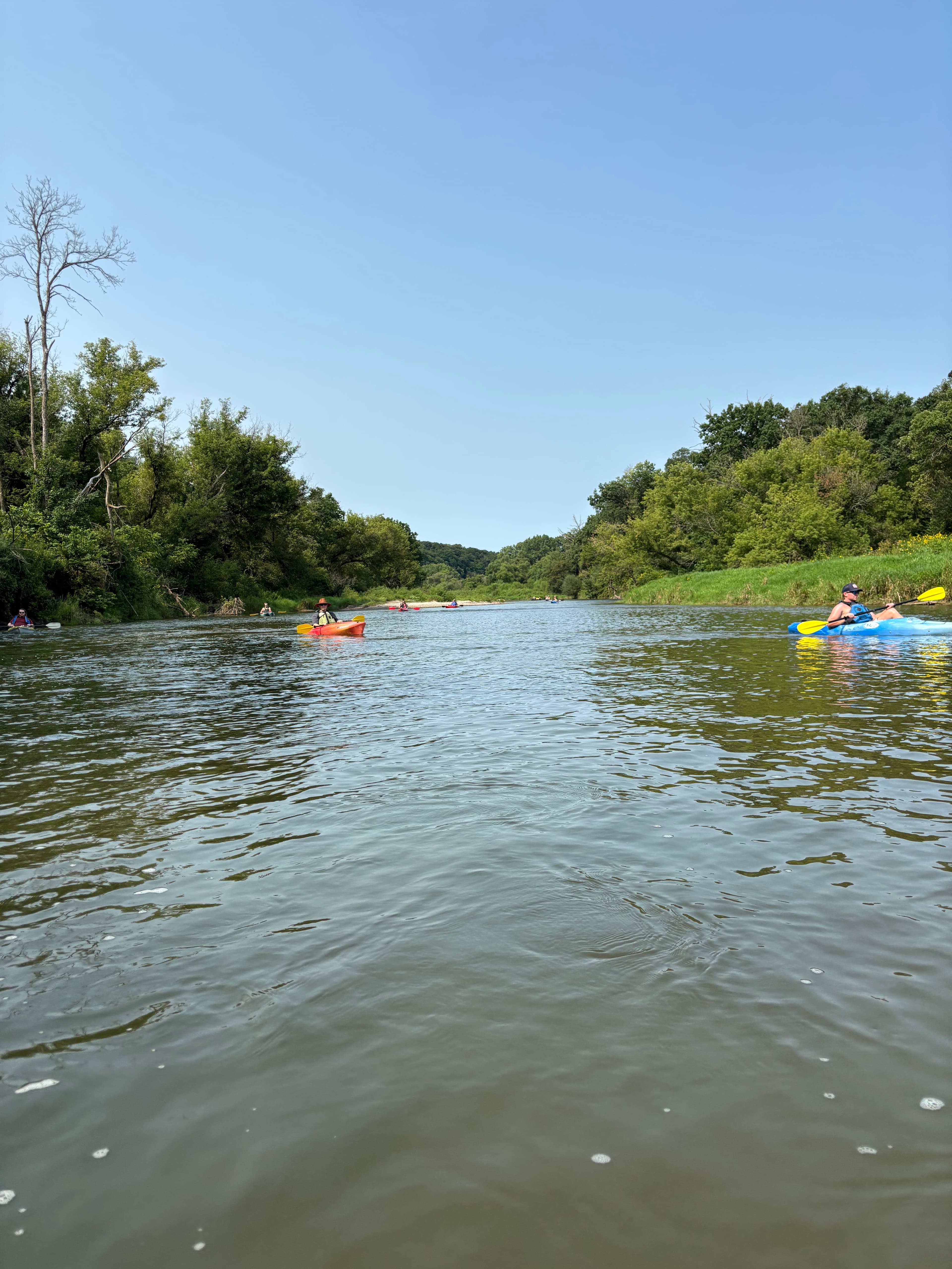
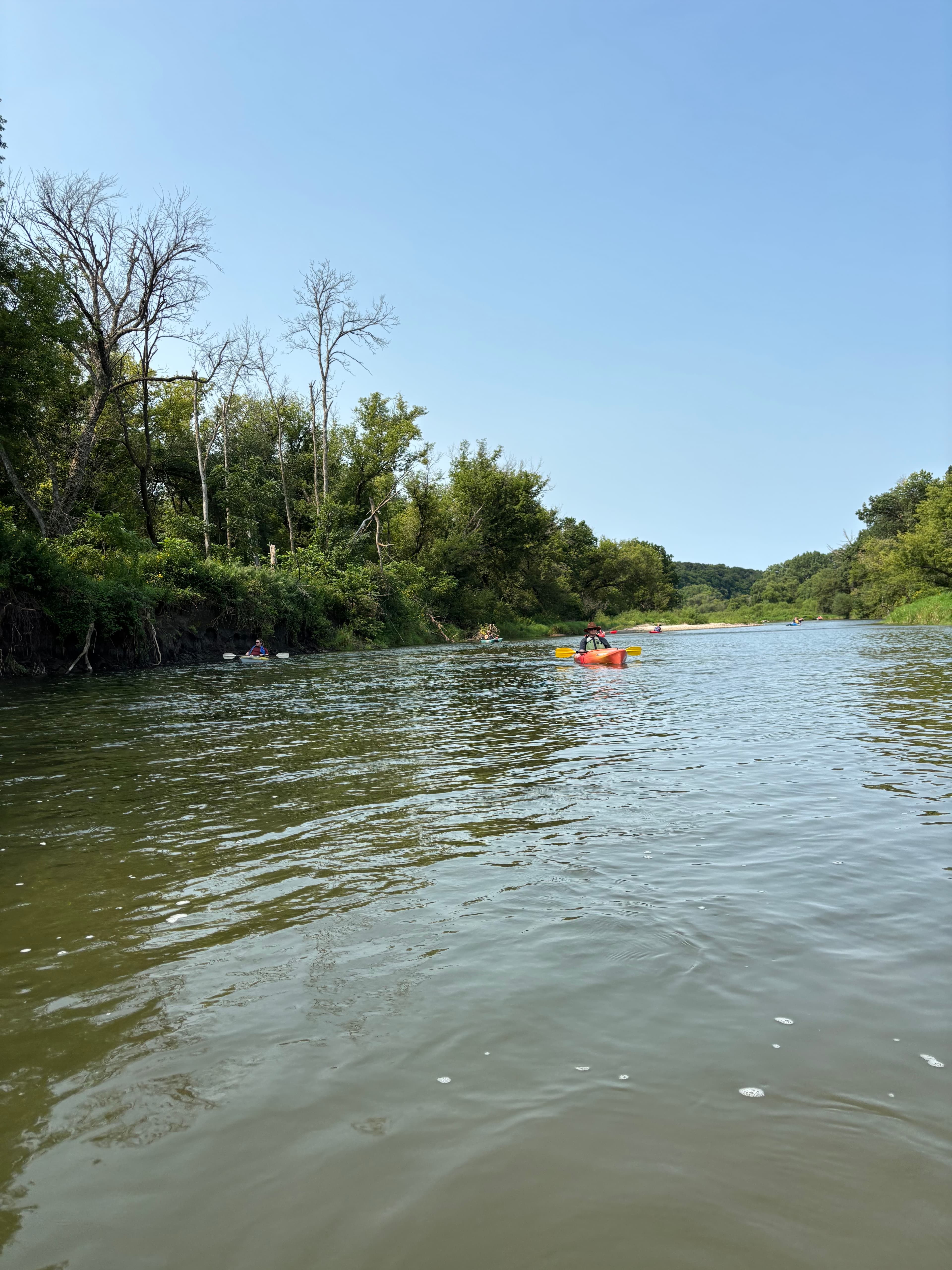
 +2
Chris C.
1,310 cfs at Dorchester
Iverson Bridge Access to Upper Iowa Resort Takeout
Chris C. •
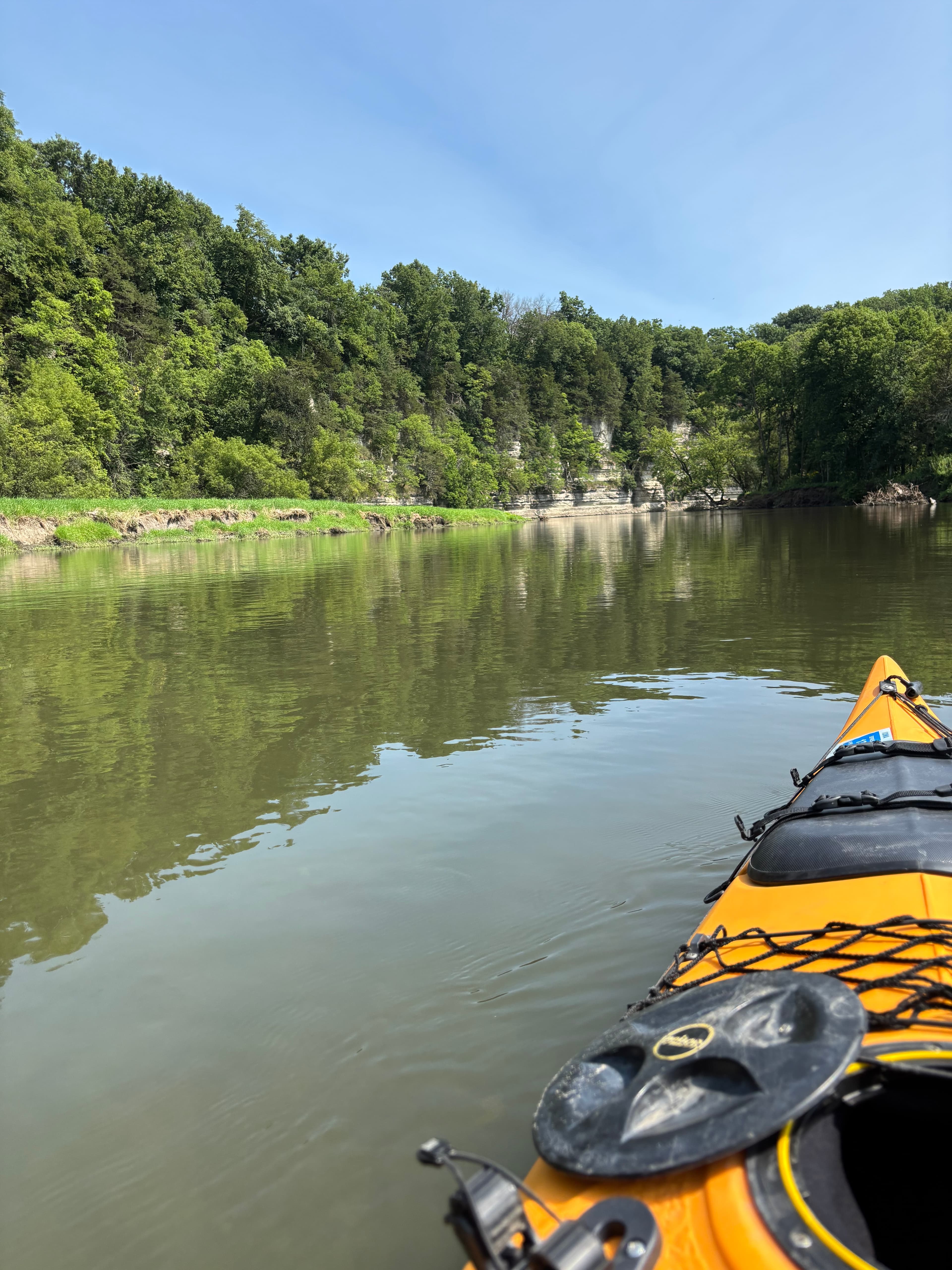
Beautiful bluffs with some minor white water.
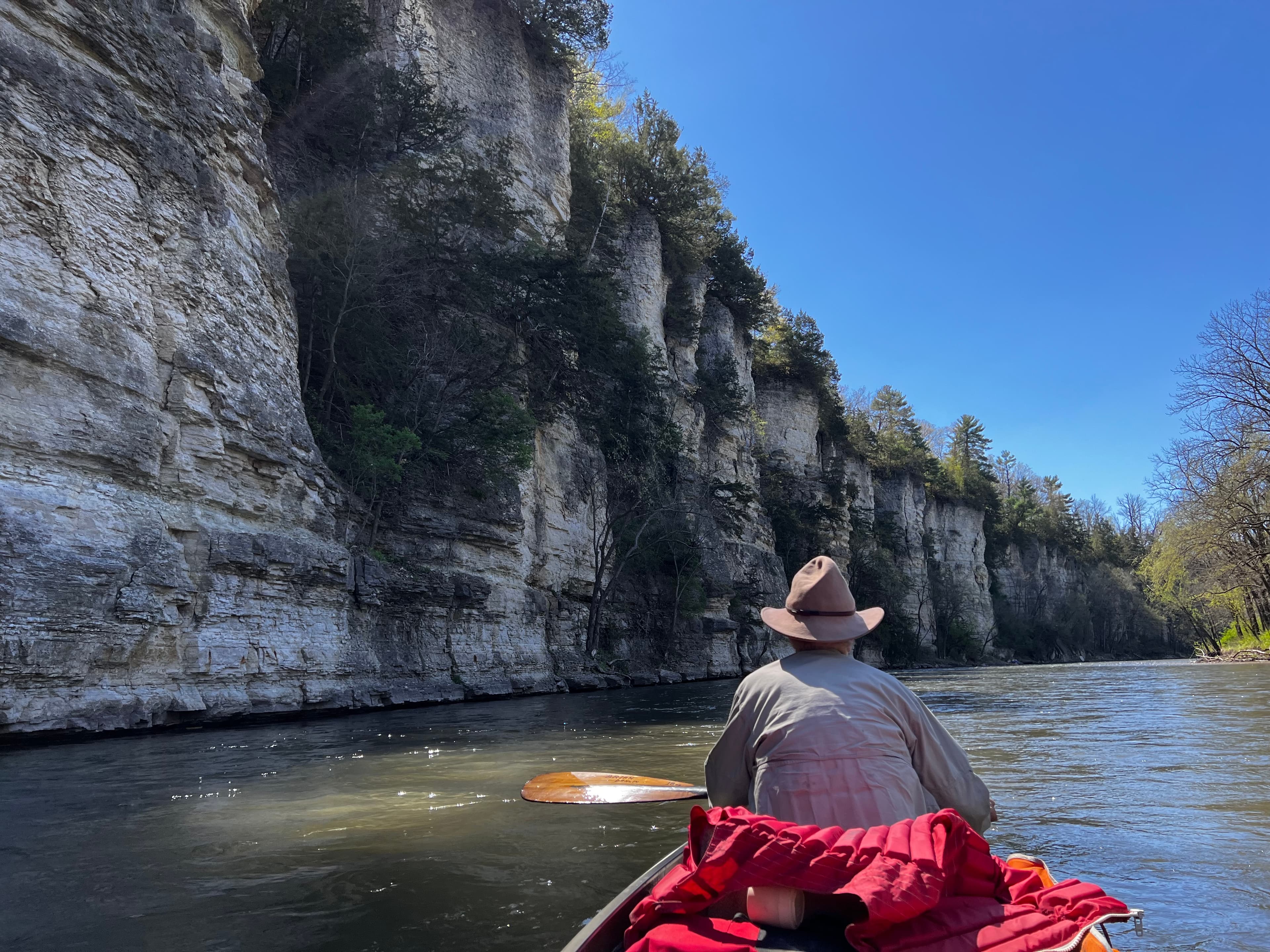
Chris C. •
four of us paddled canoes from Kendallville in early May 2025. Three days of beautiful conditions. hutchinson Family Farms acted as our outfitter by shuttling our vehicles.
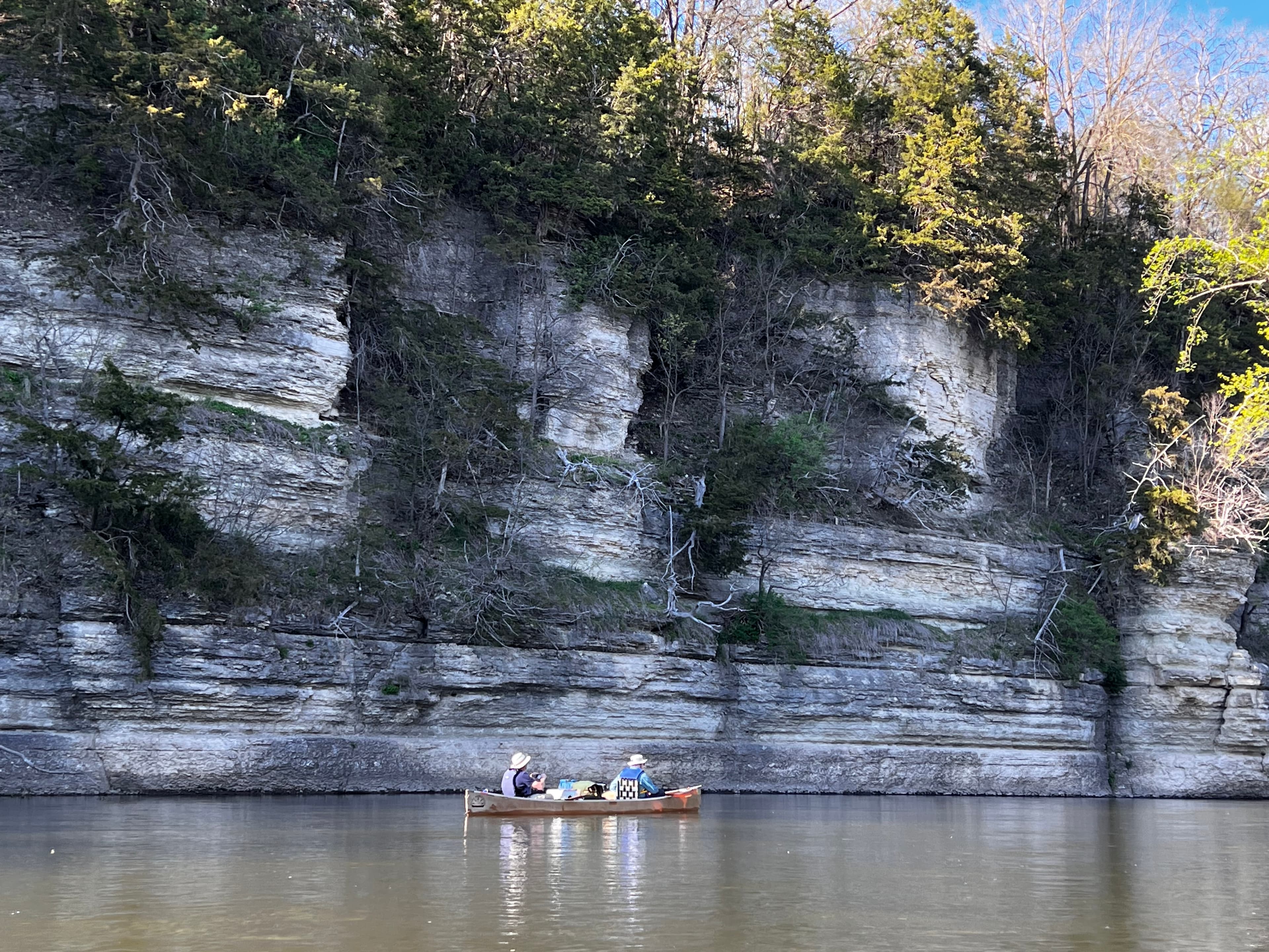
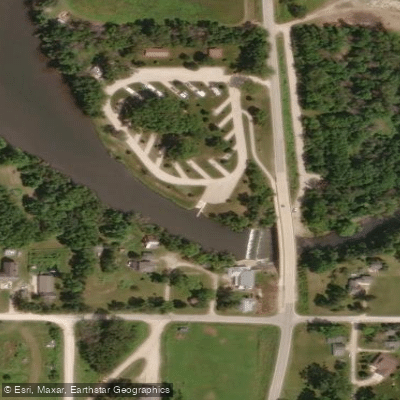
See exactly where the public can get on and off the river. Launch points and boat ramps are paired with PaddleWays' public land data so you know where you can legally land.
Public shoreline
17%of the river's shoreline is public
Most of the riverbank is private. Launch, land and camp only at public access points.
Flows, weather and a route-by-route verdict, so you know which stretch of the Upper Iowa River is worth paddling today.
All Flow Stations
Live flows, marked hazards and fresh trip reports from paddlers who were just on the water, all in one place.





Every user gets free access to launch points, boat ramps, and public property parcels.

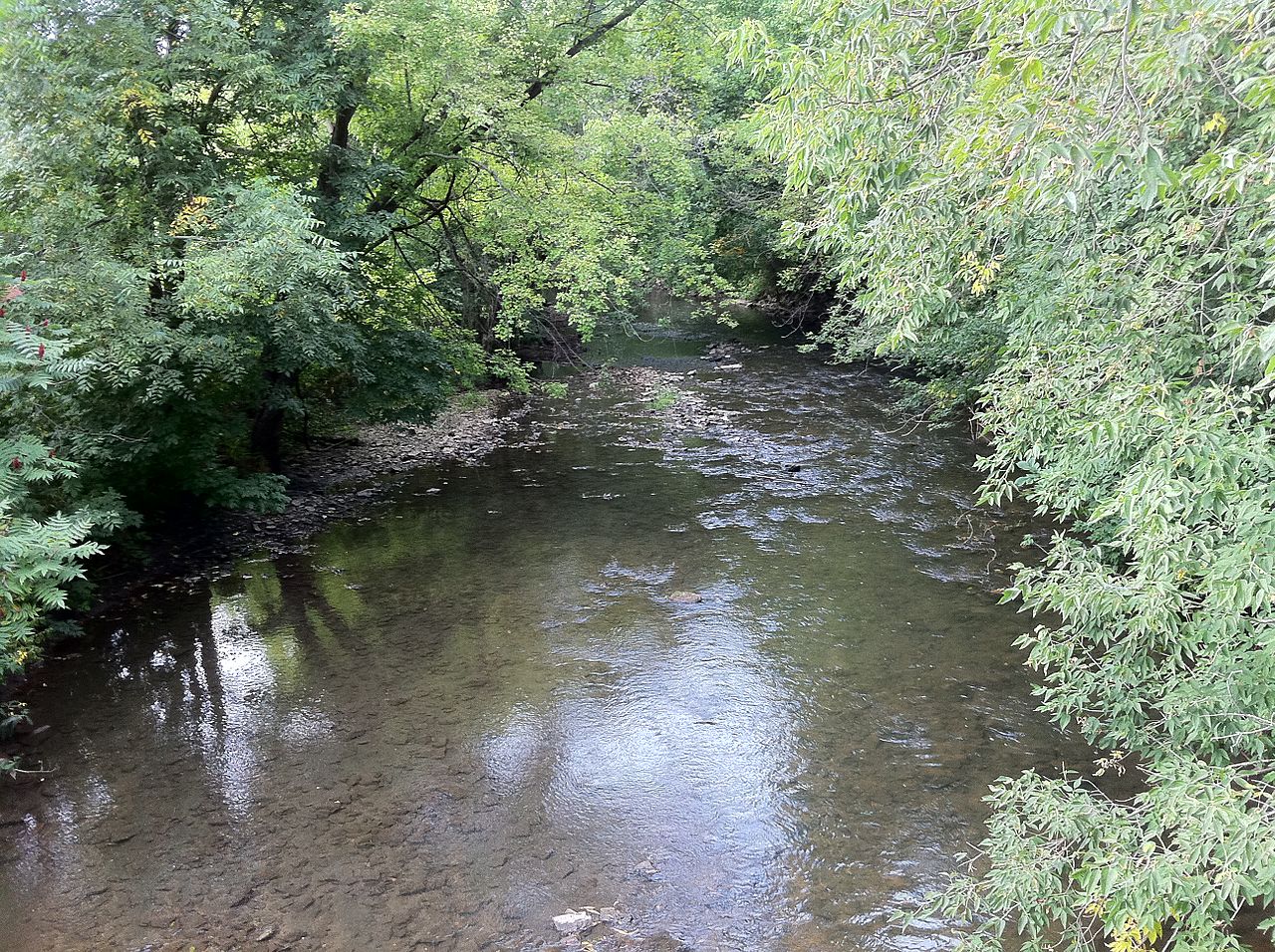
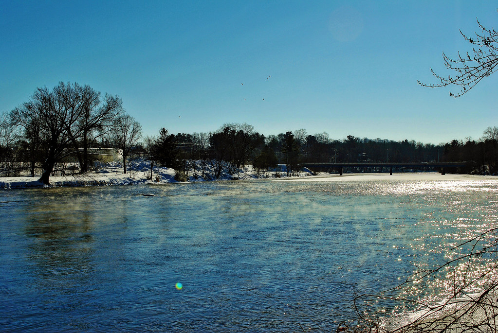
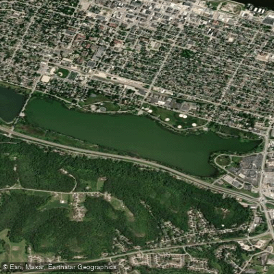
Loading popular cities...
PaddleWays gives you everything you need to plan smarter, paddle better, and own every trip from first launch to takeout.