Curated by PaddleWays
RouteClass IV
- Distance
- 3.1 mi
- Paddle time
- ~1 hr
- Best for
- Experienced paddlers
- Put-in → take-out
- Quinapoxet River-Holden Boat Ramp → take out
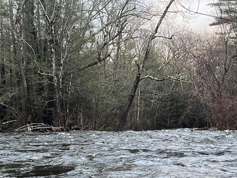
Strainers and downed trees throughout the run
The Quinapoxet River is a significant waterway in central Massachusetts, flowing eastward from its headwaters in Princeton to its confluence with the Stillwater River, where it forms the Wachusett Reservoir in West Boylston. This river, approximately 10 miles long, is a key tributary in the Nashua River watershed. The most renowned section for paddling is the 3-mile stretch from Canada Mills in Holden to the Wachusett Reservoir, affectionately known as The Mighty Quinn or Quinny among local paddlers. This section offers exciting class II-III whitewater, making it a popular destination for intermediate to advanced paddlers in the Worcester area.
With a moderate gradient of 38 feet per mile, the Quinapoxet provides a thrilling ride, especially during spring runoff or after heavy rains. The run begins at River Street in Holden, where paddlers immediately encounter a two-foot drop at an old broken dam, setting the tone for the adventure ahead. Various rapids and features follow, culminating at the take-out near the Wachusett Reservoir in West Boylston.
The river's flow is highly dependent on rainfall and snowmelt, with optimal paddling conditions typically occurring in spring and after significant precipitation events. Water levels around 10 feet are considered ideal, though they can vary. Paddlers should check gauges and local reports before embarking on a trip.
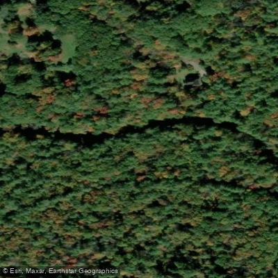
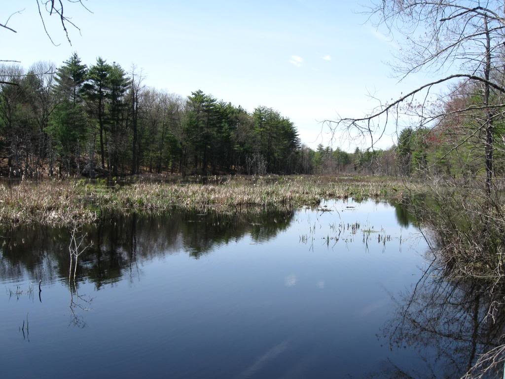
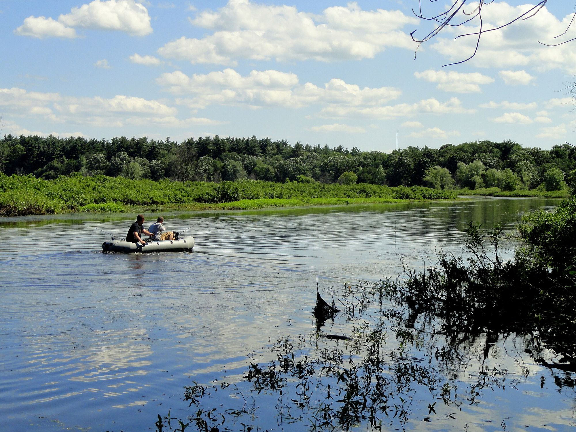
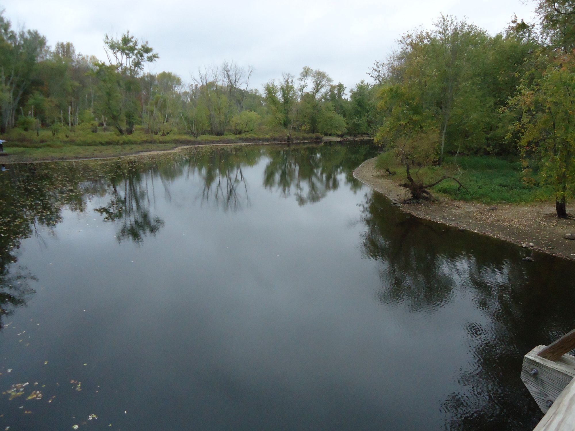
The Quinapoxet's banks are lined with mixed hardwood forests, providing habitat for diverse wildlife including various bird species, deer, and potentially river otters. The river also supports a year-round trout population, making it a favorite among local anglers.
Key access points include the put-in at River Street in Holden and the take-out near Wachusett Reservoir in West Boylston. Paddlers should be aware that River Street may occasionally be closed between the put-in and take-out, requiring alternative access routes.
Historically, the Quinapoxet played a crucial role in the region's water supply system. Today, it continues to serve as an important tributary to the Wachusett Reservoir, which provides drinking water to the greater Boston area.
Safety considerations include the river's swift current, potential strainers, and cold water temperatures, especially in early spring. Paddlers should wear appropriate safety gear and be prepared for self-rescue. It's important to note that access to the Wachusett Reservoir itself is restricted for water quality protection.
While the Quinapoxet is primarily known for its day-trip potential, its connection to the larger watershed offers opportunities for multi-day adventures for those willing to portage and explore the connected waterways. The Quinapoxet River, with its challenging rapids and scenic beauty, remains a cherished resource for outdoor enthusiasts in central Massachusetts, offering a perfect blend of adventure and natural splendor close to urban areas.
Curated routes
Hand-picked by the PaddleWays team, with put-ins, take-outs, paddle times and the hazards along the way.
RouteClass IV
Hazards
No paddler has reported a hazard here yet, so these are the dams, falls and big rapids on our map. Hazards change with flows and storms, so check them before you launch.
Rapid · Class V
Elevator/190 bridge rapid. Biggest drop on the river comes shortly after this.Go down the V of the rapid.
From the community
Nobody has shared a trip on Quinapoxet River yet. Paddle it, then tell the next paddler how it went.
See exactly where the public can get on and off the river. Launch points and boat ramps are paired with PaddleWays' public land data so you know where you can legally land.
Public shoreline
0%of the river's shoreline is public
Most of the riverbank is private. Launch, land and camp only at public access points.
Flows, weather and a route-by-route verdict, so you know which stretch of the Quinapoxet River is worth paddling today.
Live flows, marked hazards and fresh trip reports from paddlers who were just on the water, all in one place.





Every user gets free access to launch points, boat ramps, and public property parcels.


Loading popular cities...
PaddleWays gives you everything you need to plan smarter, paddle better, and own every trip from first launch to takeout.