Curated by PaddleWays
RouteFlatwater
- Distance
- 0.9 mi
- Paddle time
- ~0.5 hrs
- Put-in → take-out
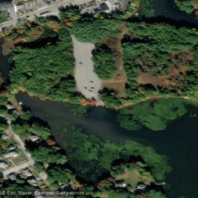
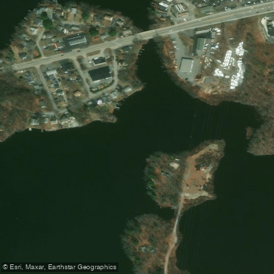
- Quinsigamond River Boat Ramp → Lake Ripple Access
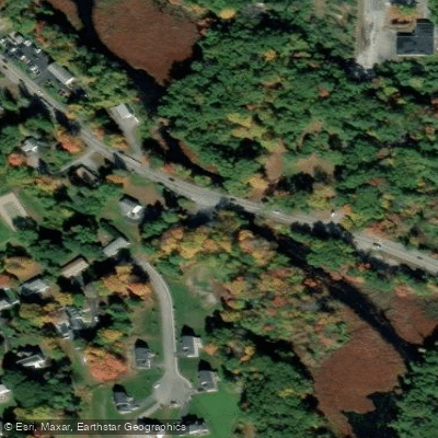
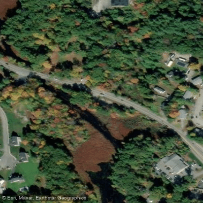
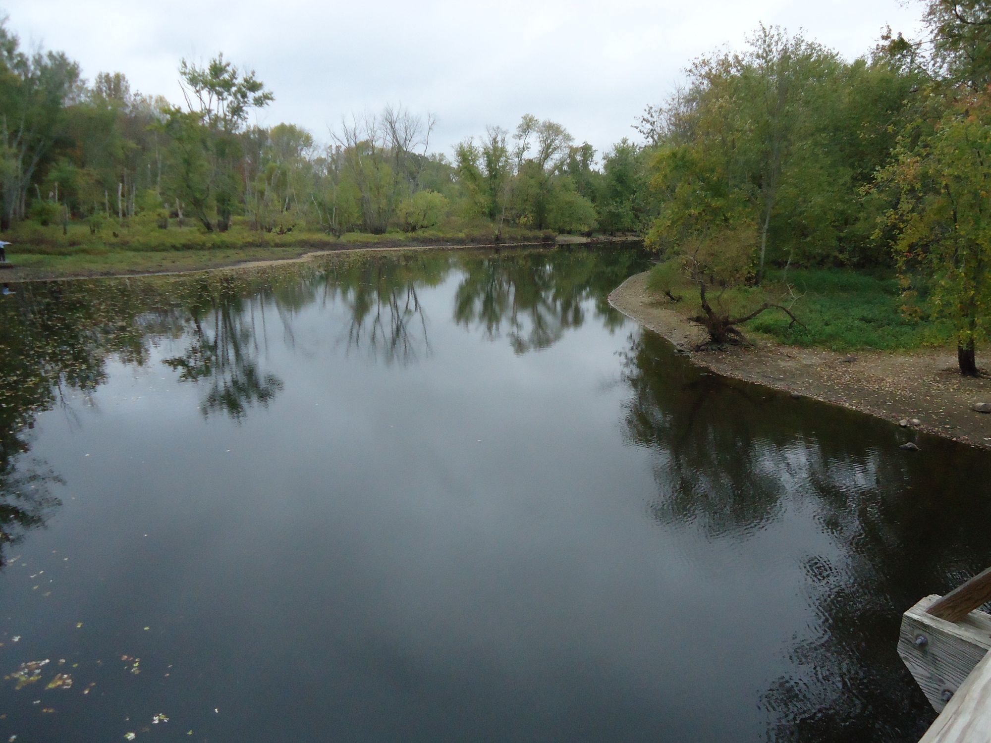
The Quinsigamond River is a scenic waterway in central Massachusetts, originating at Lake Quinsigamond in Worcester and Shrewsbury. It flows south through North Grafton and Grafton before joining the Blackstone River in South Grafton. The river system includes several interconnected water bodies, including Lake Quinsigamond, Flint Pond, Snow Marsh, Lake Ripple, and Fisherville Pond.
Paddling opportunities abound on the Quinsigamond, with sections suitable for various skill levels. The river offers primarily flatwater paddling experiences, making it accessible to beginners while still providing enjoyable trips for more experienced paddlers. Notable sections include the Lake Quinsigamond to Flint Pond route, the Ekblaw Landing to Lake Ripple stretch, and the Lake Ripple to Fisherville Pond segment. The river is best paddled from spring through fall, with summer offering warm temperatures and lush vegetation.
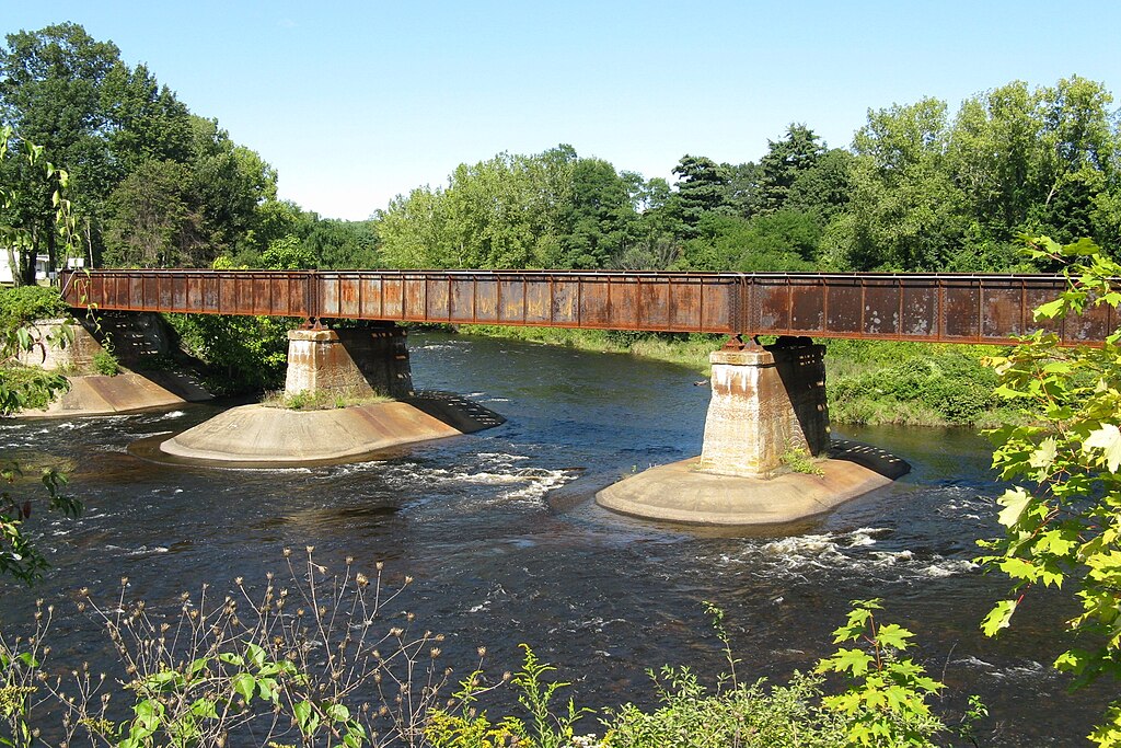
Wildlife viewing opportunities are plentiful, with various fish species, including Largemouth Bass, Chain Pickerel, and Northern Pike, inhabiting the waters. Birdwatchers may spot a variety of waterfowl and shoreline species. Key landmarks include the Lake Quinsigamond Dam, the G&U Railroad bridge, and the confluence with the Blackstone River.
Access points are numerous, with popular put-ins at Lake Park on Lake Ave in Worcester, Ekblaw Landing off Route 140/122 in Grafton, and the Lake Ripple Conservation Area in Grafton. The Quinsigamond River holds historical significance as part of the larger Blackstone River Valley, an area crucial to America's Industrial Revolution. Today, it serves as an important recreational resource for local communities and visitors alike.
Safety considerations include being aware of dam locations, particularly at Lake Ripple, where a portage is necessary. Paddlers should also be mindful of motorized boat traffic, especially on Lake Quinsigamond and Flint Pond. While primarily suited for day trips, multi-day adventures are possible by combining sections of the Quinsigamond with the connecting Blackstone River. This allows paddlers to explore the broader watershed and experience the region's rich natural and cultural heritage.
The Quinsigamond River offers a delightful paddling experience in the heart of Massachusetts, combining natural beauty, historical interest, and accessible waterways for outdoor enthusiasts of all levels.
Curated routes
Hand-picked by the PaddleWays team, with put-ins, take-outs, paddle times and the hazards along the way.
RouteFlatwater
RouteFlatwater
RouteFlatwater
Hazards
No paddler has reported a hazard here yet, so these are the dams, falls and big rapids on our map. Hazards change with flows and storms, so check them before you launch.
From the community
Nobody has shared a trip on Quinsigamond River yet. Paddle it, then tell the next paddler how it went.
See exactly where the public can get on and off the river. Launch points and boat ramps are paired with PaddleWays' public land data so you know where you can legally land.
Public shoreline
7%of the river's shoreline is public
Most of the riverbank is private. Launch, land and camp only at public access points.
Flows, weather and a route-by-route verdict, so you know which stretch of the Quinsigamond River is worth paddling today.
Live flows, marked hazards and fresh trip reports from paddlers who were just on the water, all in one place.





Every user gets free access to launch points, boat ramps, and public property parcels.

Loading popular cities...
PaddleWays gives you everything you need to plan smarter, paddle better, and own every trip from first launch to takeout.