Firesteel River
Firesteel River
- Boat Ramps
- 0
- Access Points
- 0
- Campsites
- 0
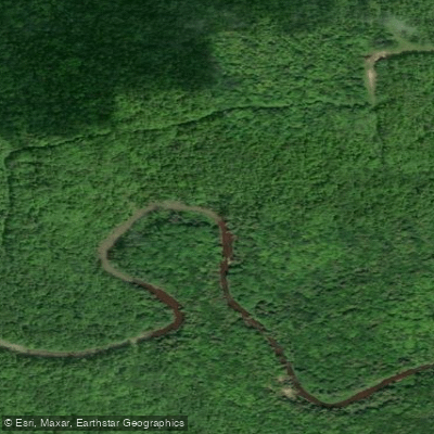
The Firesteel River flows through Michigan's Upper Peninsula in Ontonagon County, making its way northward to empty into Lake Superior. This relatively short river system concludes its journey just upstream from the great lake, with its mouth located along Lakeshore Drive near the community of Ontonagon.
The river offers a single documented paddling section spanning 13.5 miles from the Wilderness Drive bridge to the Lakeshore Drive Bridge. This stretch is rated as Class II water, making it accessible to paddlers with basic whitewater skills while still providing enough current to maintain interest throughout the journey. The put-in is located at coordinates 46.872803, -89.104890, with the take-out at 46.933210, -89.194890.
What distinguishes the Firesteel River is its exceptionally gentle current, making it an ideal choice for novice paddlers, families, and those seeking a more relaxed river experience compared to the more challenging whitewater rivers of the Upper Peninsula. The river has been specifically noted as perfect for amateurs and paddlers with special needs who want to experience river paddling without the intensity of wild water. This gentle nature allows paddlers to focus on the surrounding landscape and wildlife rather than technical maneuvering.
The Firesteel River is integrated into the larger Ontonagon Water Trail system, which provides multiple launch sites and paddling opportunities throughout the region. For those not wanting to commit to the full 13.5-mile journey, alternative access points exist along Lakeshore Drive extending toward 10 Mile Road. The river flows through an area dotted with housing developments, including The Shores at Ten Mile Point, though much of the corridor retains its natural character.
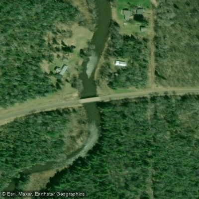
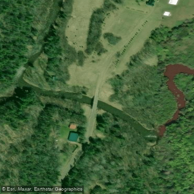
Access to the river is straightforward, with the primary launch at the Wilderness Drive bridge providing adequate parking and entry for canoes and kayaks. The take-out at Lakeshore Drive offers the unique experience of finishing a river journey within sight and sound of Lake Superior, one of the most dramatic conclusions to any Michigan paddling trip.
The river's proximity to Lake Superior influences its character, with the final stretch offering paddlers a transition from inland forest to the coastal environment. The Ontonagon area provides all necessary services for paddlers, including lodging, supplies, and local expertise about river conditions. While the Firesteel may lack the dramatic rapids and remote wilderness of neighboring rivers like the Presque Isle or Ontonagon, its accessibility and forgiving nature make it a valuable resource for introducing newcomers to the sport of river paddling in Michigan's Upper Peninsula.
Water access, boat ramps & amenities
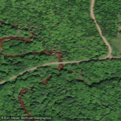
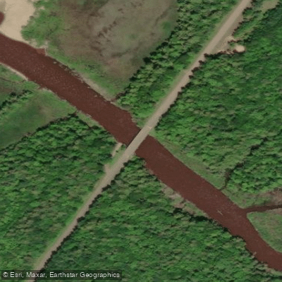
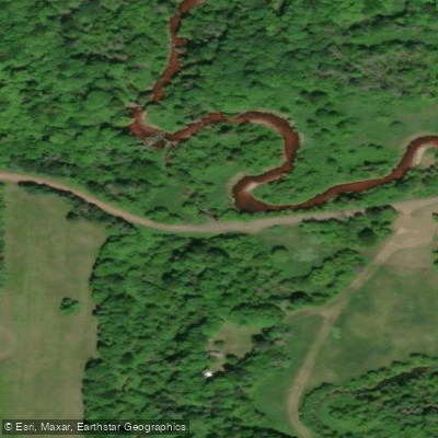
Learn how to get on Firesteel River. Uncover great paddling access points, boat ramps, and all the facilities you need for an unforgettable day on the water. Some locations shown may border or include private property. Always check property boundaries and applicable regulations before visiting. PaddleWays's Public & Private Land layer can help you plan your access with confidence.
Paddle smarter with real-time insights
Whether you're en route and conditions shift or you're looking for the best spot based on current flows, we enable you to make informed decisions on the fly.








Find Places to Paddle

Over 400,000 Places to Paddle
Every user gets free access to launch points, boat ramps, and public property parcels.


Water and weather conditions (10 day forecast)
See the best times to paddle Firesteel River and check the forecast before you go.
No forecast data available.
Paddling near Firesteel River

Lake Superior
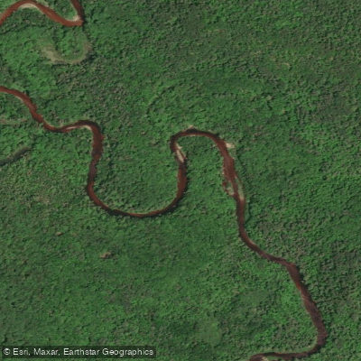
Sturgeon River
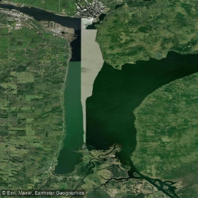
Portage Lake
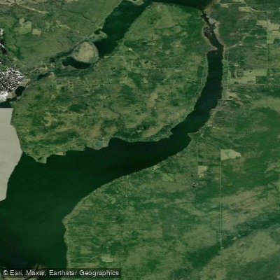
Torch Bay
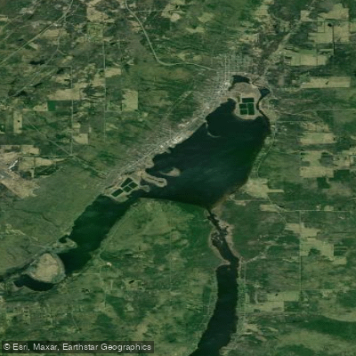
Torch Lake

Misery River
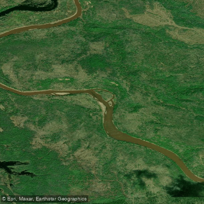
Ontonagon River
Silver River
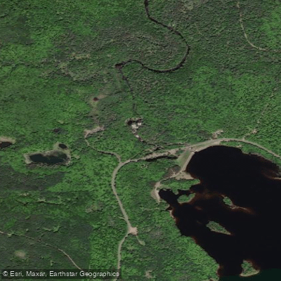
Middle Branch Ontonagon River
Explore Michigan waters
Top paddling waters
Popular Cities
Loading popular cities...
Explore near Firesteel River
Access points
Nearby waters
More in Michigan

Smarter Paddling Starts in the App.
Paddleways gives you everything you need to plan smarter, paddle better, and own every trip from first launch to takeout.