Ontonagon River
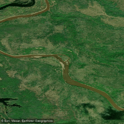
Ontonagon River
- Boat Ramps
- 2
- Access Points
- 3
- Campsites
- 0
The Ontonagon River system drains a large portion of Michigan's western Upper Peninsula, flowing northward into Lake Superior. It consists of four main branches - the West, South, Middle, and East - which converge to form the main stem Ontonagon River. The West Branch originates at Lake Gogebic and flows approximately 35 miles northeast before joining the South Branch. The Middle and East Branches merge upstream of their confluence with the main stem near the town of Ontonagon.
Paddlers can find a range of experiences across the river system, from calm flatwater to challenging whitewater. The Middle Branch is particularly popular, with several scenic day-trip options. A 6.4-mile stretch from Burned Dam Campground to Interior Bridge offers mostly Class I rapids with occasional Class II sections, suitable for intermediate paddlers. Downstream, the 5-mile segment from Interior Bridge to Bond Falls Flowage continues the scenic journey with similar difficulty. More advanced paddlers can test their skills on the West Branch, where a 5.3-mile section from Victoria Falls Dam to Victoria Dam Road features Class III-IV rapids. The East Branch also provides exciting whitewater, with a 7.5-mile run from East Branch Road to Highway 45 rated Class II-III.
Spring typically offers the highest water levels, though summer paddling is possible on many sections. The river system supports diverse wildlife, including brown trout, steelhead, and salmon. Bald eagles and other raptors are frequently spotted along the forested banks.
Key landmarks include Bond Falls, a spectacular 50-foot cascade on the Middle Branch, and the historic Victoria Dam on the West Branch. Watersmeet serves as a primary access point for Middle Branch trips, while the town of Ontonagon provides access to the lower main stem.
The Ontonagon River played a significant role in the region's copper mining history, with the famous Ontonagon Boulder - a 3,708-pound mass of native copper - discovered along its banks in 1667. Today, much of the river corridor is protected within Ottawa National Forest, preserving its natural beauty and recreational value.
Paddlers should be aware of potential hazards like strainers and cold water, especially during high flows. Some sections require portaging around dams. Multi-day trips are possible on the main stem and larger branches, though camping options may be limited in some areas.
Water access, boat ramps & amenities
Learn how to get on Ontonagon River. Uncover great paddling access points, boat ramps, and all the facilities you need for an unforgettable day on the water. Some locations shown may border or include private property. Always check property boundaries and applicable regulations before visiting. PaddleWays's Public & Private Land layer can help you plan your access with confidence.
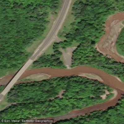
Paddle smarter with real-time insights
Whether you're en route and conditions shift or you're looking for the best spot based on current flows, we enable you to make informed decisions on the fly.








Find Places to Paddle

Over 400,000 Places to Paddle
Every user gets free access to launch points, boat ramps, and public property parcels.


Water and weather conditions (10 day forecast)
See the best times to paddle Ontonagon River and check the forecast before you go.
ONTONAGON RIVER NEAR ROCKLAND, MI
Paddling near Ontonagon River

Lake Superior
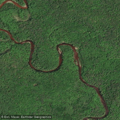
Sturgeon River
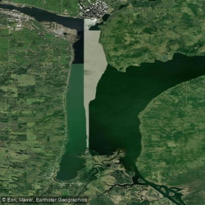
Portage Lake
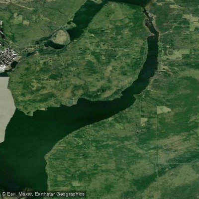
Torch Bay
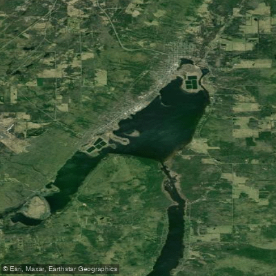
Torch Lake
Misery River
Silver River
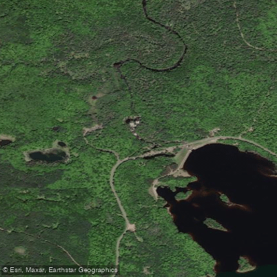
Middle Branch Ontonagon River
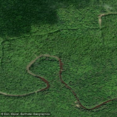
Firesteel River
Explore Michigan waters
Top paddling waters
Popular Cities
Loading popular cities...
Explore near Ontonagon River
Access points
Nearby waters
More in Michigan

Smarter Paddling Starts in the App.
Paddleways gives you everything you need to plan smarter, paddle better, and own every trip from first launch to takeout.