Misery River
Misery River
- Boat Ramps
- 2
- Access Points
- 2
- Campsites
- 3
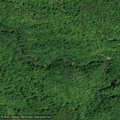
The Misery River is a small, remote waterway located in Michigan's Upper Peninsula. It originates in the highlands of Ontonagon County and flows northward for approximately 20 miles before emptying into Lake Superior. The river drains a narrow watershed comprised primarily of mixed hardwood and conifer forests.
While not widely known as a paddling destination, the Misery River offers a secluded wilderness experience for adventurous canoeists and kayakers. The upper reaches feature swift current and occasional rapids as the river descends through rocky terrain. The lower section becomes slower and meandering as it approaches Lake Superior.
Paddling the Misery River requires intermediate to advanced skills due to its remote nature and potentially challenging conditions. The river is best attempted in spring or early summer when water levels are highest. Late summer and fall often see very low water, making navigation difficult.
The river corridor provides habitat for a variety of wildlife including black bear, white-tailed deer, river otter, and bald eagles. Old growth stands of eastern hemlock and white pine can be found along some stretches.
There are no developed access points or facilities along the Misery River. Paddlers must be prepared for a true backcountry experience and should have wilderness camping skills. The small community of White Pine is located about 10 miles east of the river's mouth and serves as the nearest supply point.
The Misery River's name likely derives from the challenging conditions early loggers and settlers encountered in this rugged area. Today, it offers solitude and pristine natural beauty for those willing to make the effort to explore its waters.
For experienced paddlers seeking a wilderness adventure, a multi-day trip down the full length of the Misery River is possible. This would involve primitive camping along the banks and portaging any impassable sections. Careful planning and preparation are essential for such an endeavor in this isolated region.
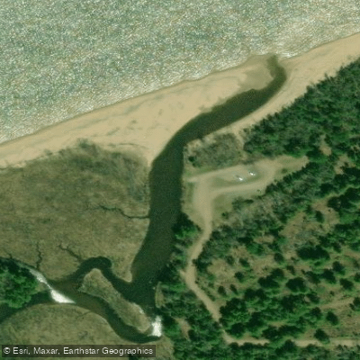
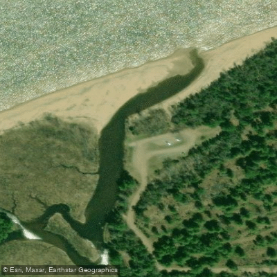
The Misery River mouth is part of the Western U.P. Water Trail, a 319-mile route along Lake Superior's southern shore. This provides opportunities to combine a Misery River trip with coastal paddling on the big lake for those desiring a longer journey through the rugged beauty of Michigan's Upper Peninsula.
Water access, boat ramps & amenities
Learn how to get on Misery River. Uncover great paddling access points, boat ramps, and all the facilities you need for an unforgettable day on the water. Some locations shown may border or include private property. Always check property boundaries and applicable regulations before visiting. PaddleWays's Public & Private Land layer can help you plan your access with confidence.
Paddle smarter with real-time insights
Whether you're en route and conditions shift or you're looking for the best spot based on current flows, we enable you to make informed decisions on the fly.








Find Places to Paddle

Over 400,000 Places to Paddle
Every user gets free access to launch points, boat ramps, and public property parcels.


Water and weather conditions (10 day forecast)
See the best times to paddle Misery River and check the forecast before you go.
No forecast data available.
Paddling near Misery River

Lake Superior
Sturgeon River
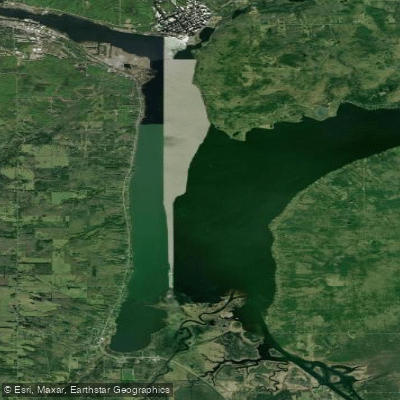
Portage Lake
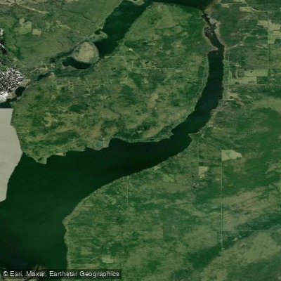
Torch Bay
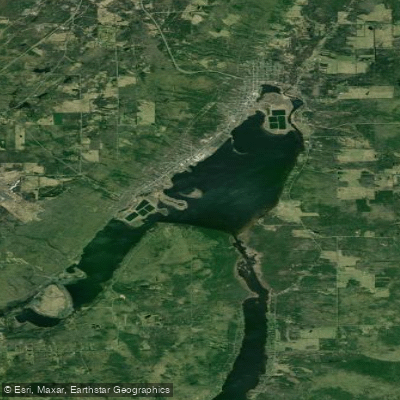
Torch Lake
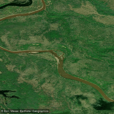
Ontonagon River
Silver River
Middle Branch Ontonagon River
Firesteel River
Explore Michigan waters
Top paddling waters
Popular Cities
Loading popular cities...
Explore near Misery River
Access points
Nearby waters
More in Michigan

Smarter Paddling Starts in the App.
Paddleways gives you everything you need to plan smarter, paddle better, and own every trip from first launch to takeout.