Middle Branch Ontonagon River
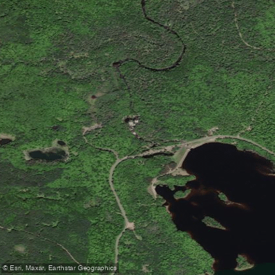
Middle Branch Ontonagon River
- Boat Ramps
- 1
- Access Points
- 4
- Campsites
- 5
The Middle Branch Ontonagon River is a scenic waterway in Michigan's Upper Peninsula, originating near Watersmeet and flowing northward to join the main stem of the Ontonagon River. This 40-mile stretch of river winds through the Ottawa National Forest, offering paddlers a mix of peaceful flatwater and exciting rapids.
The river can be divided into several distinct sections, each with its own character. From Watersmeet to Burned Dam Campground, paddlers encounter a narrow, scenic 10-mile stretch with mostly Class I rapids, culminating in the challenging Class III+ Mex-I-Min-E Falls. The 8.4-mile section from Burned Dam to Bond Falls Flowage features numerous Class I-II rapids surrounded by high hills, transitioning to lowland silver maple forest near the flowage.
Overall, the Middle Branch ranges from Class I to III+ in difficulty, suitable for intermediate paddlers with some whitewater experience. However, some sections, like Mex-I-Min-E Falls, may require advanced skills or a portage. The river is typically best paddled in spring or after heavy rains, as summer levels can be low, especially below Bond Falls where water is diverted for hydroelectric purposes.
The surrounding forest is home to diverse wildlife, including black bears, white-tailed deer, and a variety of bird species. The river is renowned for its excellent fishing, particularly for brown trout, and seasonal runs of Lake Superior salmon and steelhead.
Key landmarks include Mex-I-Min-E Falls, Burned Dam Campground, and Bond Falls. Access points are available at Watersmeet (Highway 45 bridge), Burned Dam Campground, Interior Bridge, and Bond Falls Flowage, with the towns of Watersmeet and Bruce Crossing serving as nearby resupply points.
The river holds cultural significance for the local Ojibwe people and played a role in the region's logging history. Today, it's part of the National Wild and Scenic Rivers System, recognized for its outstanding scenic, recreational, and ecological values.
Safety considerations include proper whitewater gear, awareness of water levels, and caution around fallen trees. Multi-day trips are possible, with Burned Dam Campground offering a convenient midway camping spot for those paddling the full length from Watersmeet to Bond Falls Flowage.
The Middle Branch Ontonagon River provides a quintessential Upper Peninsula paddling experience, combining pristine wilderness, exciting rapids, and rich natural history in one unforgettable journey.
Water access, boat ramps & amenities
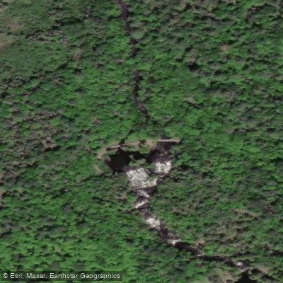
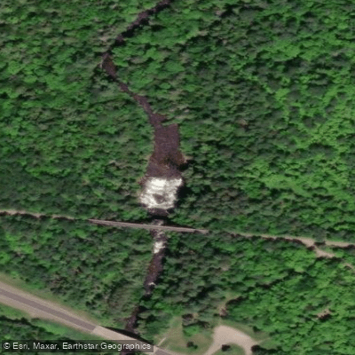
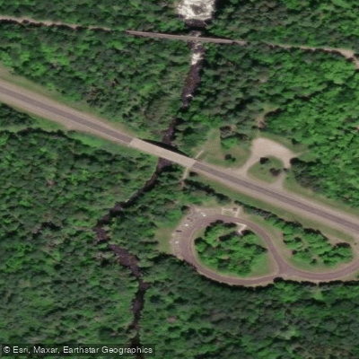
Learn how to get on Middle Branch Ontonagon River. Uncover great paddling access points, boat ramps, and all the facilities you need for an unforgettable day on the water. Some locations shown may border or include private property. Always check property boundaries and applicable regulations before visiting. PaddleWays's Public & Private Land layer can help you plan your access with confidence.
Paddle smarter with real-time insights
Whether you're en route and conditions shift or you're looking for the best spot based on current flows, we enable you to make informed decisions on the fly.








Find Places to Paddle

Over 400,000 Places to Paddle
Every user gets free access to launch points, boat ramps, and public property parcels.


Water and weather conditions (10 day forecast)
See the best times to paddle Middle Branch Ontonagon River and check the forecast before you go.
MIDDLE BRANCH ONTONAGON RIVER NEAR PAULDING, MI
Paddling near Middle Branch Ontonagon River

Lake Superior
Sturgeon River
Portage Lake
Torch Bay
Torch Lake
Misery River
Ontonagon River
Silver River
Firesteel River
Explore Michigan waters
Top paddling waters
Popular Cities
Loading popular cities...
Explore near Middle Branch Ontonagon River
Access points
- Ottawa National Forest Canoe Access Middle Branch Boat Ramp
- Bond Falls Access
- Agate Falls Access
- Agate Falls Scenic Site Access
- Middle Br Ontonagon Riv Bridge
- Mid Br Ontonagon River Bridge
- M Br Ontonagon River Bridge
- Middle Br Ontonagon Riv Bridge
- Middle Br Ontonagon Bridge
- M Br Ontonagon River Bridge
- Middle Br Ontonagon Riv Bridge
- Tamarack River Bridge
- All 33 spots
Nearby waters
More in Michigan

Smarter Paddling Starts in the App.
Paddleways gives you everything you need to plan smarter, paddle better, and own every trip from first launch to takeout.