Lake Desor
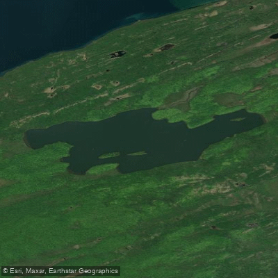
Lake Desor
- Boat Ramps
- 0
- Access Points
- 0
- Campsites
- 4
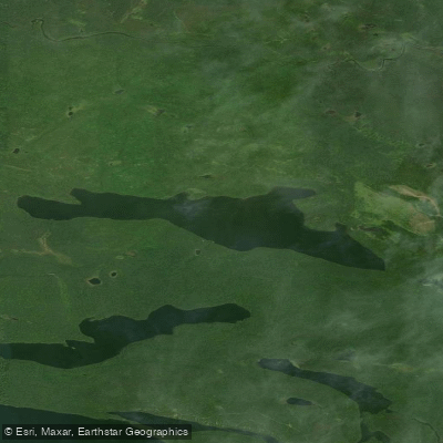
Lake Desor is an inland lake located in Isle Royale National Park, Michigan. Paddling is not permitted on Lake Desor, as there is no canoe, kayak, or boat access to the lake. The lake is accessible only by foot via hiking trails, specifically the Greenstone Ridge Trail on the south side and the Minong Ridge Trail on the north side.
Two campgrounds are situated on Lake Desor: South Lake Desor Campground and North Lake Desor Campground. These campgrounds have a stay limit of 2 nights from June 1 through Labor Day. The campsites are located directly on the lakeshore, offering scenic views of the water.
The lake's water is easily accessible from the campsites but requires treatment before consumption. Campers report that the water has an unpleasant taste, even when mixed with coffee or used for cooking. This is likely due to the lake's high mineral content, as the surrounding soil is rich in iron.
Wildlife enthusiasts should be prepared for significant insect activity, particularly mosquitoes, which can be intense in the evenings and early mornings. Proper insect protection, including permethrin-treated clothing and bug nets, is strongly recommended.
The lake's aesthetic appeal is notable, with reviewers describing it as "lovely" despite some challenges. The surrounding area features dense vegetation, providing some privacy between campsites. Facilities at the campgrounds are basic but include clean privies.
While paddling is not an option on Lake Desor, the lake serves as a scenic backdrop for hikers and backpackers exploring Isle Royale National Park. Visitors should be prepared for variable weather conditions and practice Leave No Trace principles to preserve the natural environment.
Water access, boat ramps & amenities
Learn how to get on Lake Desor. Uncover great paddling access points, boat ramps, and all the facilities you need for an unforgettable day on the water. Some locations shown may border or include private property. Always check property boundaries and applicable regulations before visiting. PaddleWays's Public & Private Land layer can help you plan your access with confidence.
Paddle smarter with real-time insights
Whether you're en route and conditions shift or you're looking for the best spot based on current flows, we enable you to make informed decisions on the fly.








Find Places to Paddle

Over 400,000 Places to Paddle
Every user gets free access to launch points, boat ramps, and public property parcels.


Water and weather conditions (10 day forecast)
See the best times to paddle Lake Desor and check the forecast before you go.
No forecast data available.
Paddling near Lake Desor

Lake Superior
Pine Lake
Clearwater Lake
Rose Lake
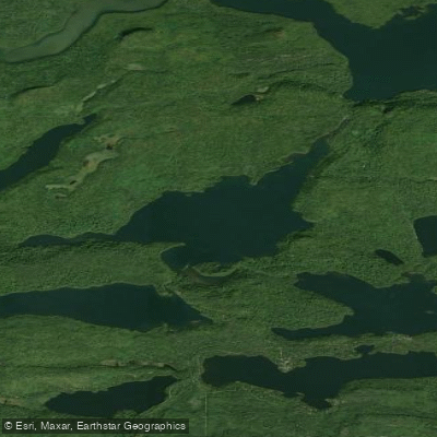
Duncan Lake
Lenore Lake
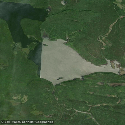
South Fowl Lake
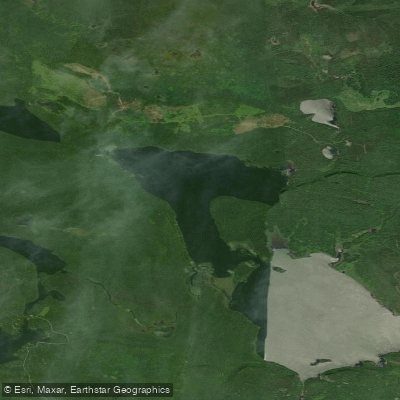
North Fowl Lake
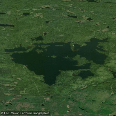
Greenwood Lake
Moose Lake
Explore Michigan waters
Top paddling waters
Popular Cities
Loading popular cities...
Explore near Lake Desor

Smarter Paddling Starts in the App.
Paddleways gives you everything you need to plan smarter, paddle better, and own every trip from first launch to takeout.