Newburgh Lake
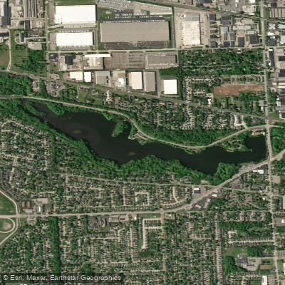
Newburgh Lake
- Boat Ramps
- 1
- Access Points
- 2
- Campsites
- 0
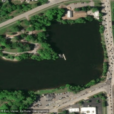
Newburgh Lake is an impoundment on the Middle Rouge River located within Wayne County's Hines Park. The lake offers a developed launch at Newburgh Point, with an additional public boat launch located on Hines Drive west of Newburgh Road. The boat launch area features lot parking, public restrooms in a historic building, and fishing docks, with the access point less than 50 yards from parking.
The lake environment is notably wooded and scenic, creating an attractive backdrop for paddling excursions. Weekend kayak and boat rentals are available through a local outfitter, making this an accessible destination for those without their own equipment. The lake is particularly well-suited for picnic paddles, suggesting a relaxed, recreational atmosphere.
Newburgh Lake is part of the larger Rouge River Water Trail system, which spans 27 miles from Canton to the Detroit River. While the lake itself is a standalone paddling destination, it connects to this larger water trail network that runs through both forested corridors and historic industrial areas.
Facilities at the public boat launch include flush toilets and developed boat access with clear roadside signage. The launch area's proximity to fishing docks suggests shared use with anglers, something paddlers should be aware of when launching and landing.
The lake's position within Hines Park integrates it into a larger recreational area, providing additional amenities and activities adjacent to paddling opportunities. Its designation as a water trail location indicates maintained access points and consideration for paddling activities.
Water access, boat ramps & amenities
Learn how to get on Newburgh Lake. Uncover great paddling access points, boat ramps, and all the facilities you need for an unforgettable day on the water. Some locations shown may border or include private property. Always check property boundaries and applicable regulations before visiting. PaddleWays's Public & Private Land layer can help you plan your access with confidence.
Paddle smarter with real-time insights
Whether you're en route and conditions shift or you're looking for the best spot based on current flows, we enable you to make informed decisions on the fly.








Find Places to Paddle

Over 400,000 Places to Paddle
Every user gets free access to launch points, boat ramps, and public property parcels.


Water and weather conditions (10 day forecast)
See the best times to paddle Newburgh Lake and check the forecast before you go.
No forecast data available.
Paddling near Newburgh Lake

Lake Erie
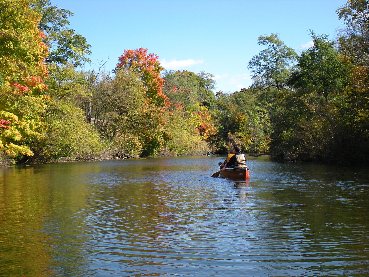
Huron River
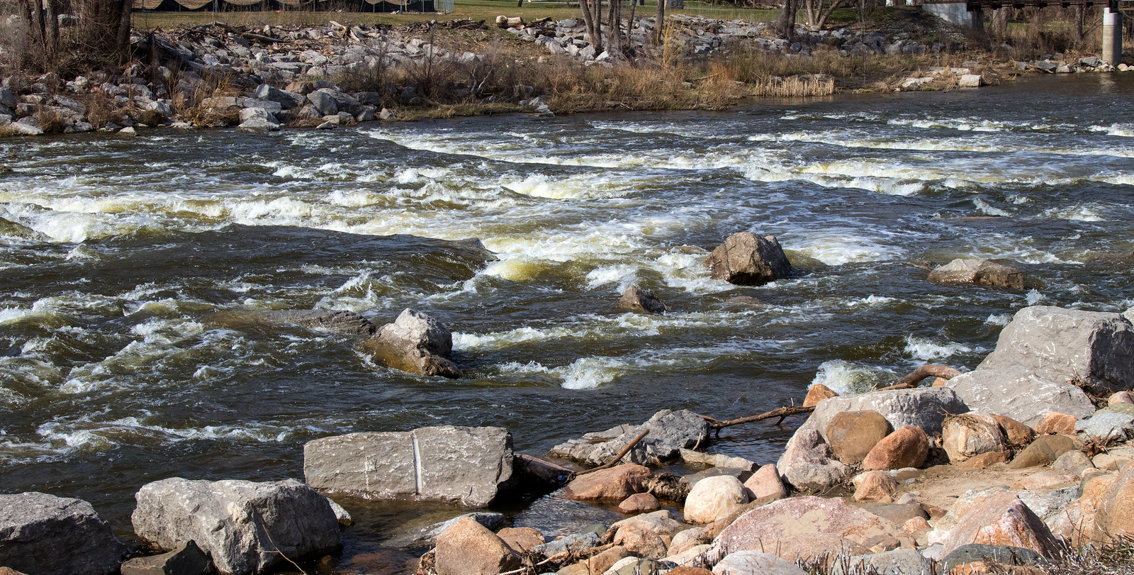
Shiawassee River
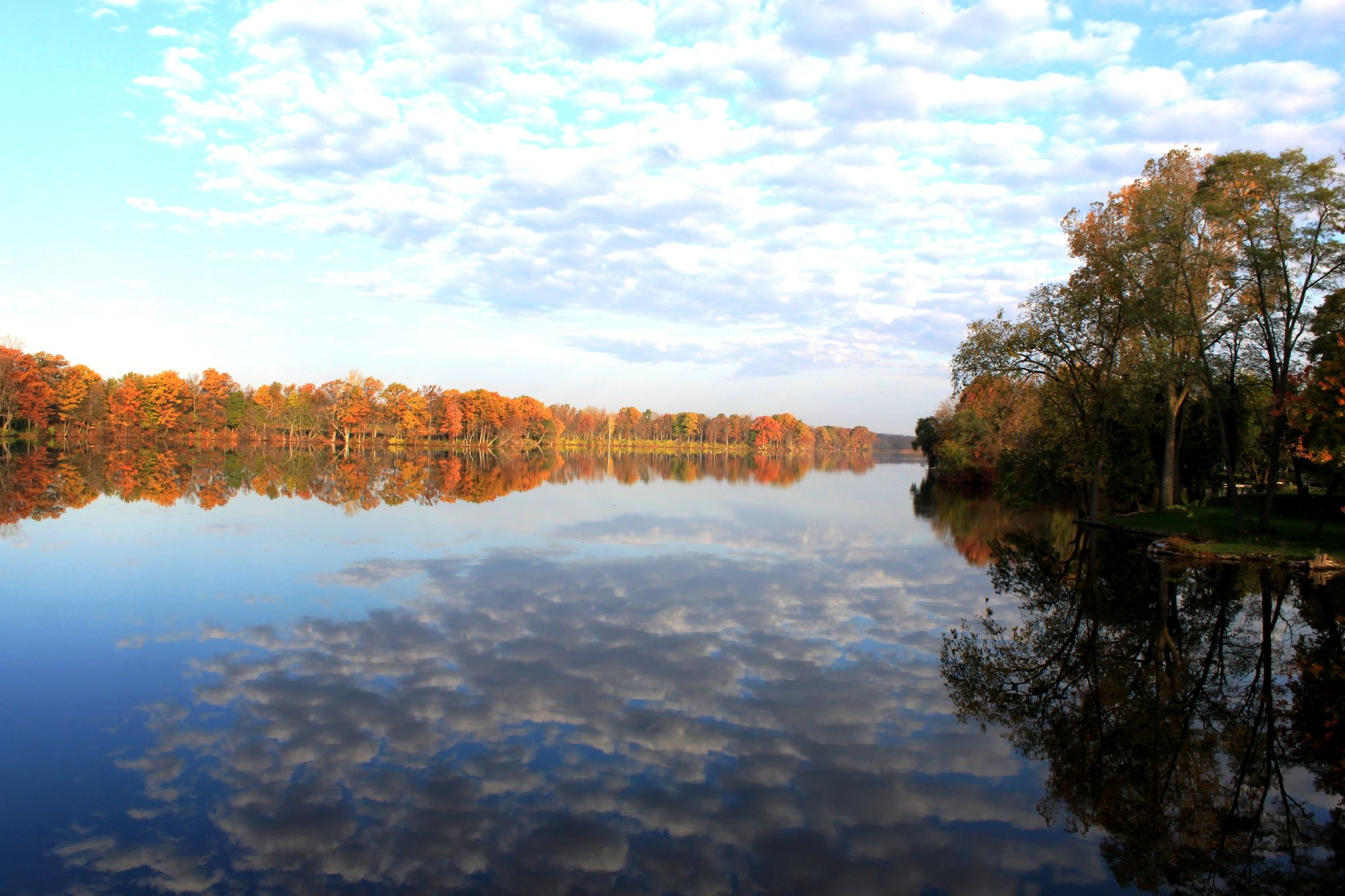
River Raisin
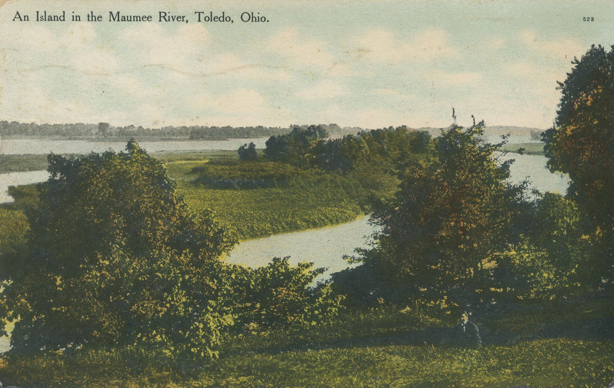
Maumee River
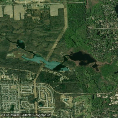
Proud Lake
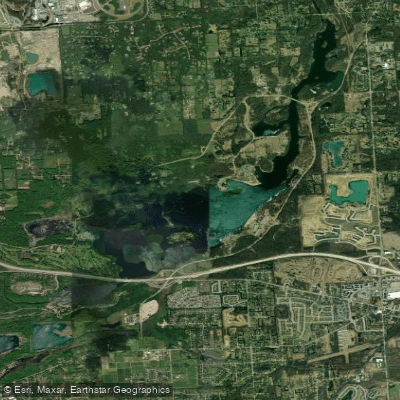
Kent Lake
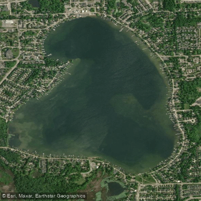
Walled Lake
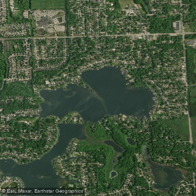
North Commerce Lake
Explore Michigan waters
Top paddling waters
Popular Cities
Loading popular cities...
Explore near Newburgh Lake
Access points
Nearby waters
More in Michigan

Smarter Paddling Starts in the App.
Paddleways gives you everything you need to plan smarter, paddle better, and own every trip from first launch to takeout.