River Rouge
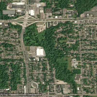
River Rouge
- Boat Ramps
- 1
- Access Points
- 1
- Campsites
- 1
The River Rouge, also known as the Rouge River, is a significant waterway in southeastern Michigan that flows generally southeast for approximately 127 miles before emptying into the Detroit River. The river system comprises four major branches - the Main, Upper, Middle, and Lower Rouge - which drain a watershed of about 467 square miles in the metropolitan Detroit area.
Paddling opportunities on the Rouge River are diverse, with the Lower Rouge River Water Trail offering a unique 27-mile inland paddling experience from Canton to the Detroit River. This water trail is divided into three sections: West (Canton to Inkster), Middle (Inkster to Dearborn), and East/South (Dearborn to Detroit River). The difficulty ranges from beginner to intermediate, with mostly flatwater paddling interspersed with occasional mild rapids.
A notable paddling route is the Lower Rouge River Industrial Route, a 12.9-mile journey from Melvindale to River Rouge. This urban paddle passes historic industrial sites like the Ford Rouge plant and Zug Island, offering a glimpse into the area's rich industrial heritage. The route is classified as beginner to intermediate due to potential water quality concerns and challenging conditions near the Detroit River.
The best paddling times are typically late spring through early fall, with water levels and flow rates being most favorable during these periods. Paddlers should be aware of seasonal variations and check water conditions before embarking on their journey.
The Rouge River ecosystem supports a variety of flora and fauna, including native fish species and migratory birds. The river's banks are lined with a mix of urban landscapes and natural areas, providing habitat for local wildlife.
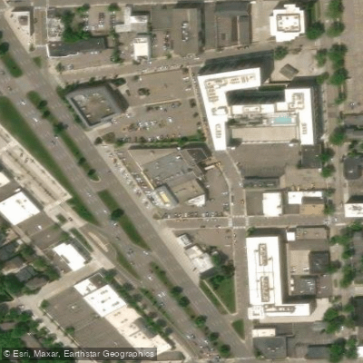
Key access points include the Melvindale Boat Launch, Canton, Inkster, Dearborn, and Belanger Park in River Rouge. These locations offer convenient put-in and take-out spots for paddlers exploring different sections of the river.
Historically, the Rouge River played a crucial role in the development of the automotive industry in Detroit. Today, ongoing restoration efforts aim to improve water quality and enhance recreational opportunities along the river.
Safety considerations include being aware of water quality issues, especially after heavy rains, and potential industrial hazards in certain sections. Paddlers should also be prepared for occasional portages around low-head dams or other obstacles.
While primarily suited for day trips, the 27-mile Lower Rouge River Water Trail could potentially be divided into a multi-day adventure for those seeking a more extended paddling experience through the diverse landscapes of southeast Michigan.
Water access, boat ramps & amenities
Learn how to get on River Rouge. Uncover great paddling access points, boat ramps, and all the facilities you need for an unforgettable day on the water. Some locations shown may border or include private property. Always check property boundaries and applicable regulations before visiting. PaddleWays's Public & Private Land layer can help you plan your access with confidence.
Paddle smarter with real-time insights
Whether you're en route and conditions shift or you're looking for the best spot based on current flows, we enable you to make informed decisions on the fly.








Find Places to Paddle

Over 400,000 Places to Paddle
Every user gets free access to launch points, boat ramps, and public property parcels.


Water and weather conditions (10 day forecast)
See the best times to paddle River Rouge and check the forecast before you go.
RIVER ROUGE AT BIRMINGHAM, MI
All Flow Stations
Paddling near River Rouge

Lake Erie
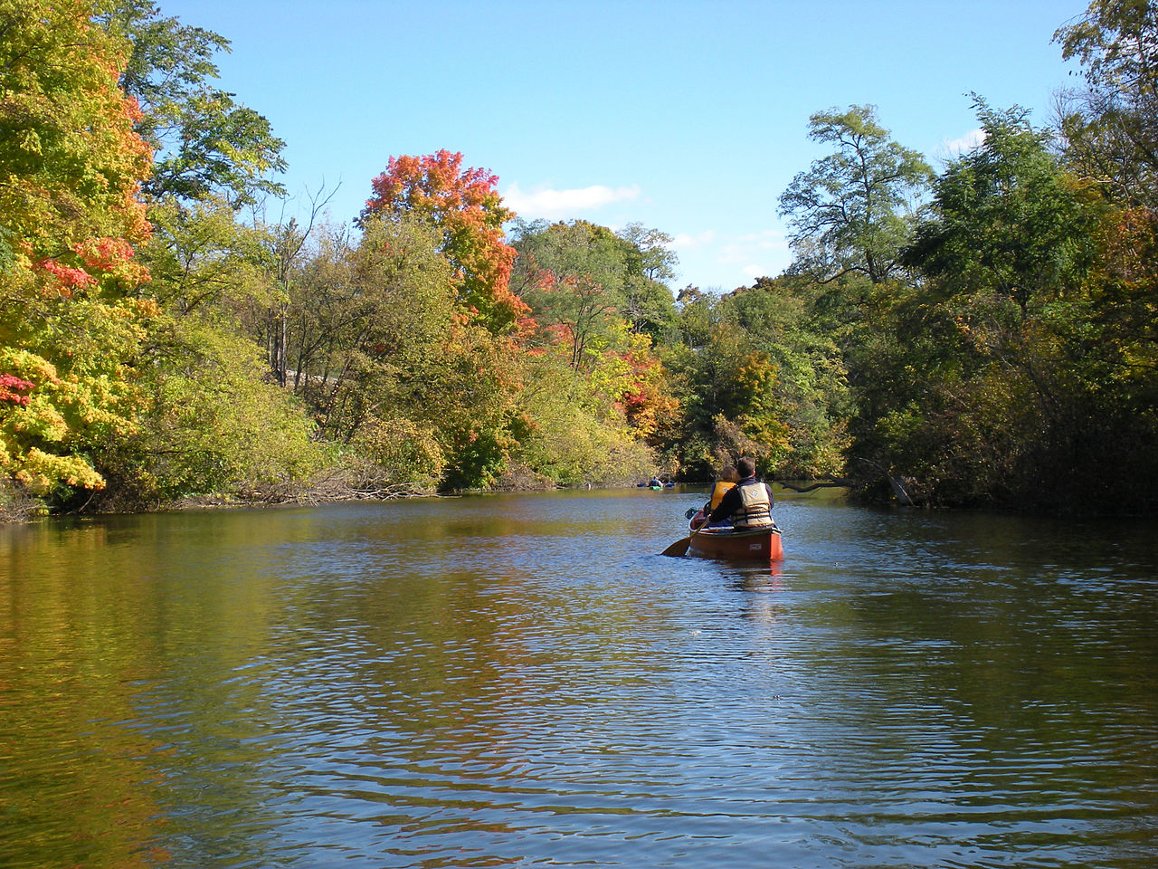
Huron River
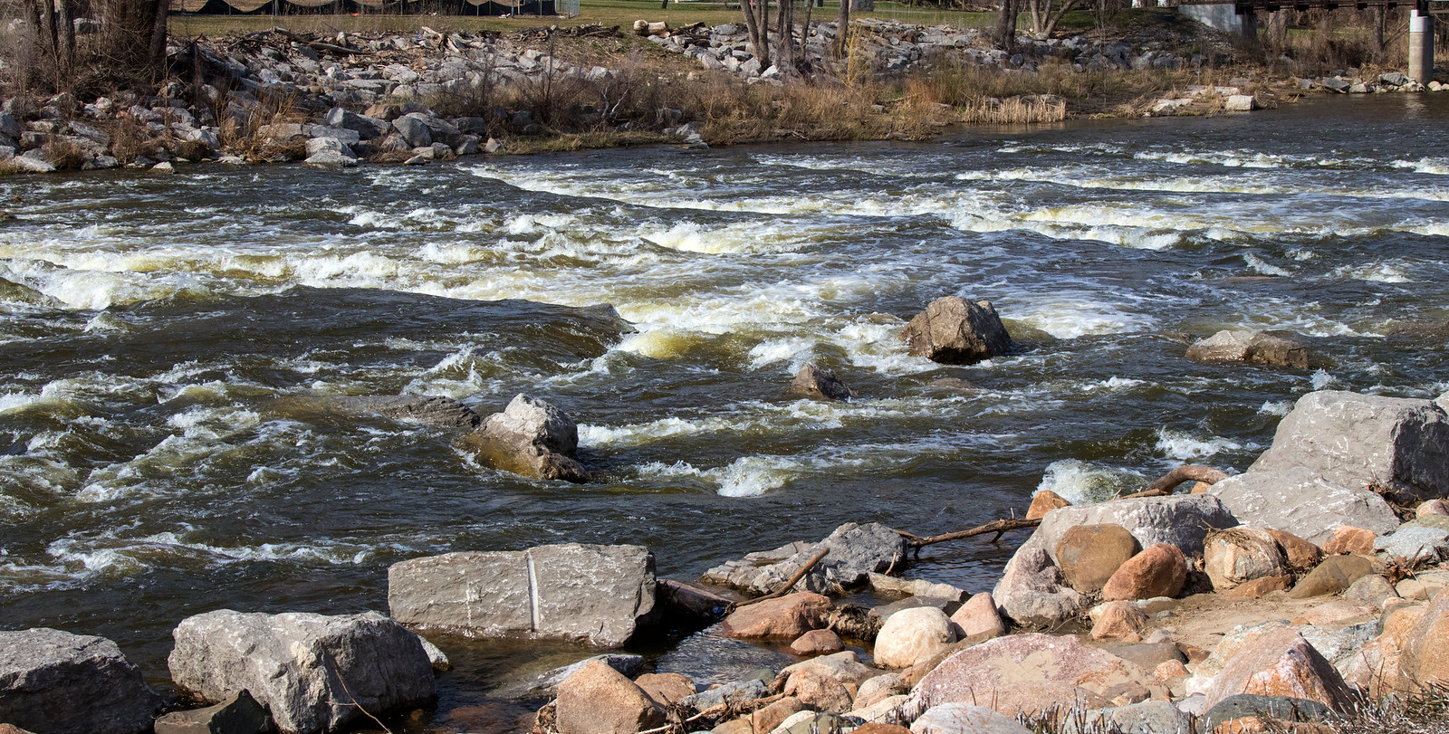
Shiawassee River
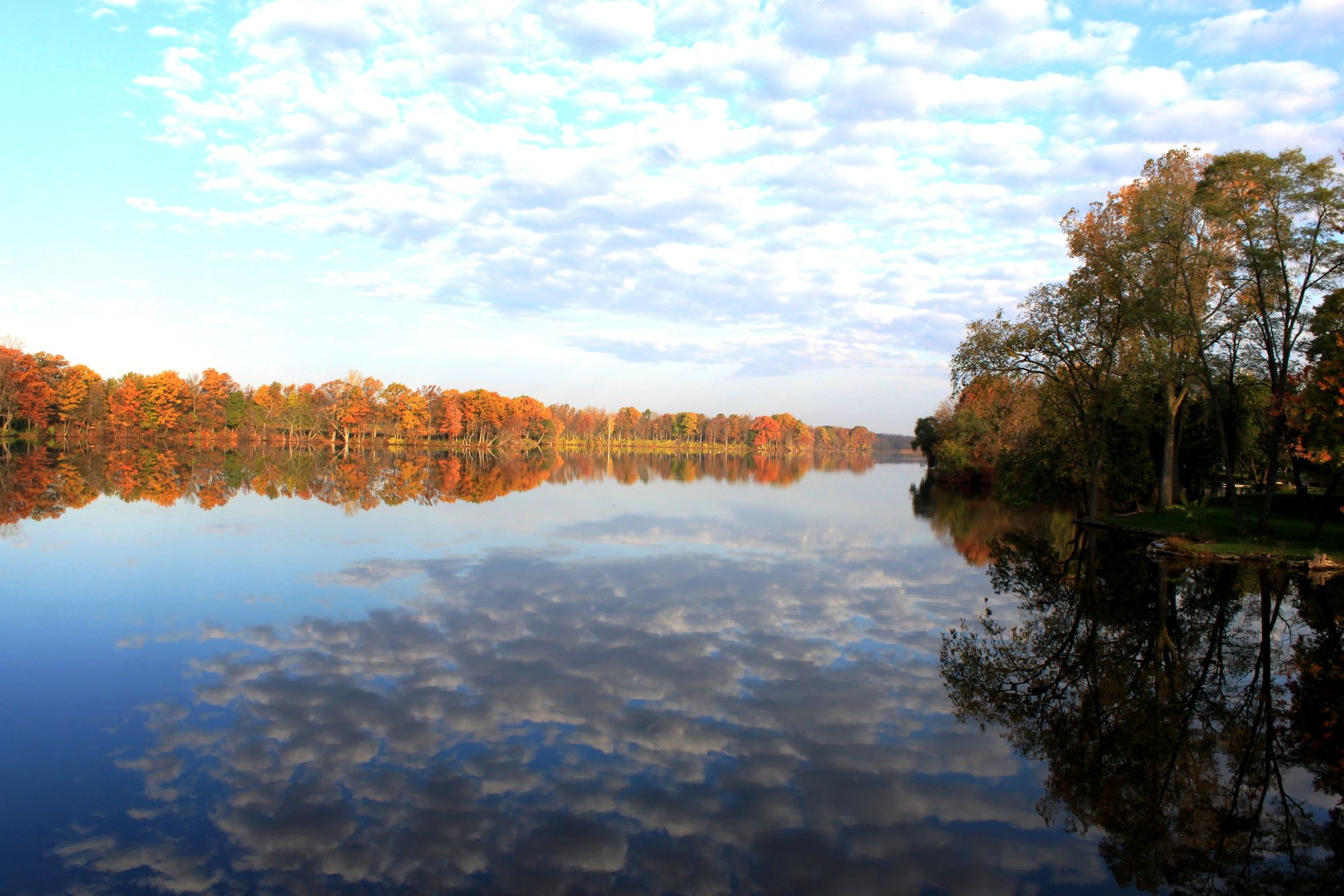
River Raisin
Proud Lake
Middle Straits Lake
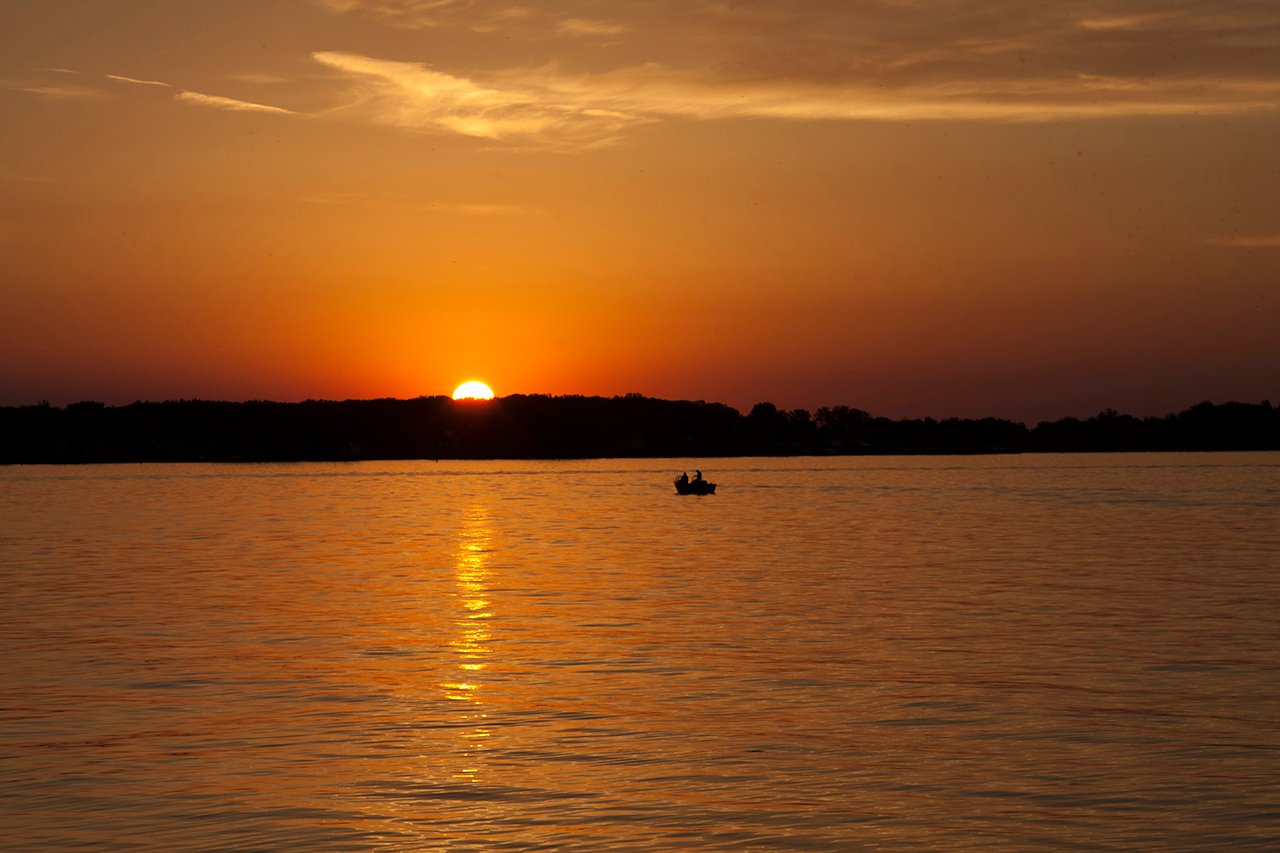
Lake Saint Clair
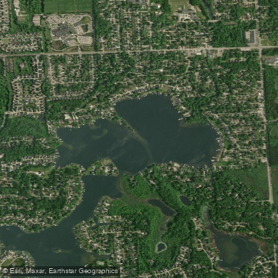
North Commerce Lake
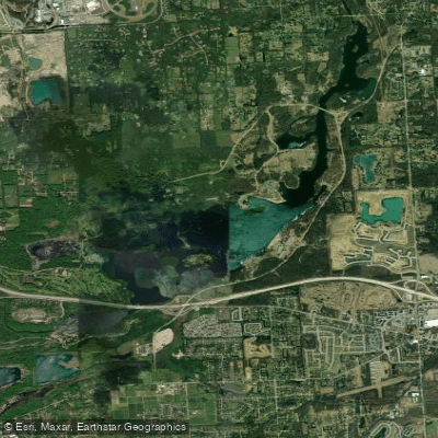
Kent Lake
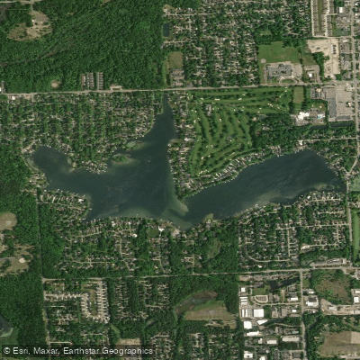
Lower Straits Lake
Explore Michigan waters
Top paddling waters
Popular Cities
Loading popular cities...
Explore near River Rouge
Access points
Nearby waters
More in Michigan

Smarter Paddling Starts in the App.
Paddleways gives you everything you need to plan smarter, paddle better, and own every trip from first launch to takeout.