Albert Lea Lake
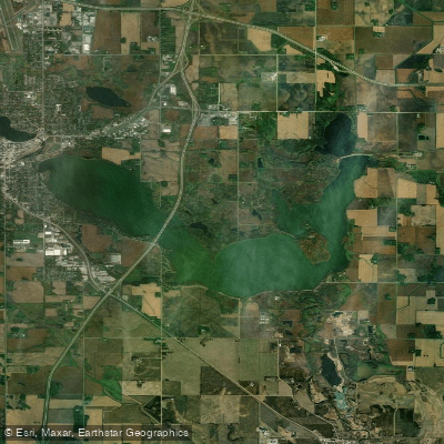
Albert Lea Lake
- Boat Ramps
- 3
- Access Points
- 3
- Campsites
- 0
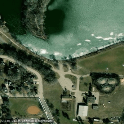
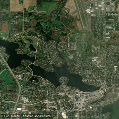
Albert Lea Lake in Minnesota offers paddlers a scenic prairie lake experience with convenient access and amenities. The lake borders city parks and Myre-Big Island State Park, providing opportunities for hiking, biking, fishing, and picnicking in addition to paddling. A key access point is the Golden Point Launch, which features a soft launch area for canoes and kayaks. Frank Hall Park near the launch offers canoe and kayak rentals through a self-serve system for $10 per day.
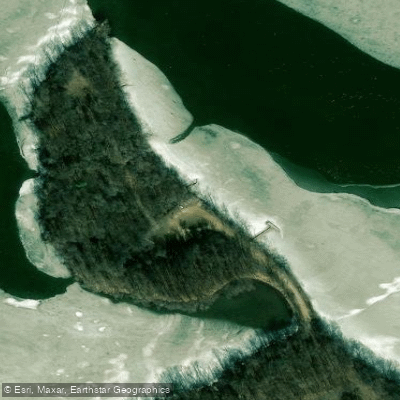
The northwest corner of Albert Lea Lake is the most developed area, while the southeast features a patchwork of forest, wetlands, and agricultural land. Paddlers can explore the 120-acre Big Island, which is covered in northern hardwood forest and is considered one of the best spots for birdwatching in southern Minnesota. The lake connects to the Shell Rock River State Water Trail, which begins at the lake's outlet and flows south.
For those seeking overnight options, Myre-Big Island State Park offers camping facilities including the Big Island Campground with flush toilets and showers, as well as cozy log cabins that can accommodate up to 5 people. The park also features an accessible half-mile paved trail and picnic areas with views of the lake.
Paddlers should be aware that the Shell Rock River, which flows from Albert Lea Lake, has hazards including dams and a low bridge. While specific hazards on the lake itself are not mentioned, it's always wise to exercise caution and be prepared for changing weather conditions.
The Blazing Star State Trail provides additional recreational opportunities, starting in Albert Lea and traveling six miles through town and the state park. This trail offers excellent views of native prairie landscapes and opportunities to spot migrating birds and blooming wildflowers.
Water access, boat ramps & amenities
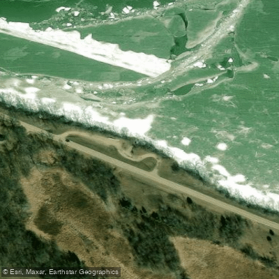
Learn how to get on Albert Lea Lake. Uncover great paddling access points, boat ramps, and all the facilities you need for an unforgettable day on the water. Some locations shown may border or include private property. Always check property boundaries and applicable regulations before visiting. PaddleWays's Public & Private Land layer can help you plan your access with confidence.
Paddle smarter with real-time insights
Whether you're en route and conditions shift or you're looking for the best spot based on current flows, we enable you to make informed decisions on the fly.








Find Places to Paddle

Over 400,000 Places to Paddle
Every user gets free access to launch points, boat ramps, and public property parcels.


Water and weather conditions (10 day forecast)
See the best times to paddle Albert Lea Lake and check the forecast before you go.
No forecast data available.
Paddling near Albert Lea Lake
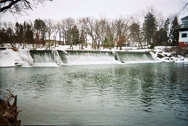
Cedar River
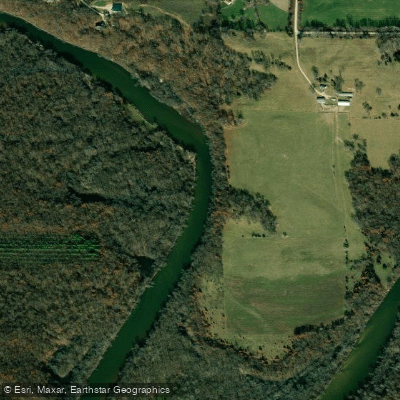
Wapsipinicon River
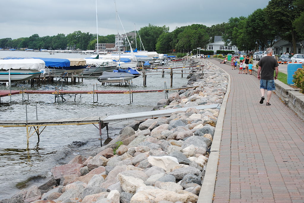
Clear Lake
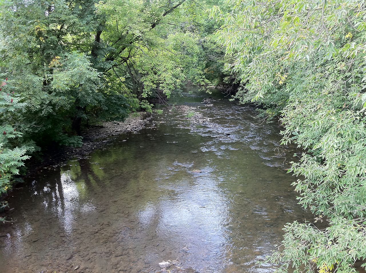
South Branch Root River
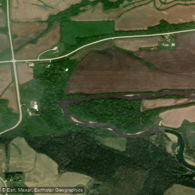
Turkey River
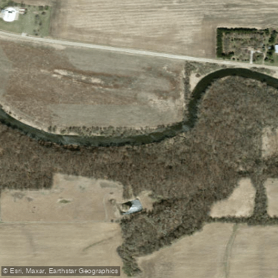
Winnebago River
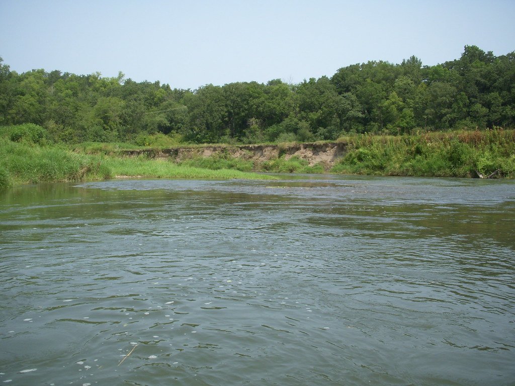
Root River
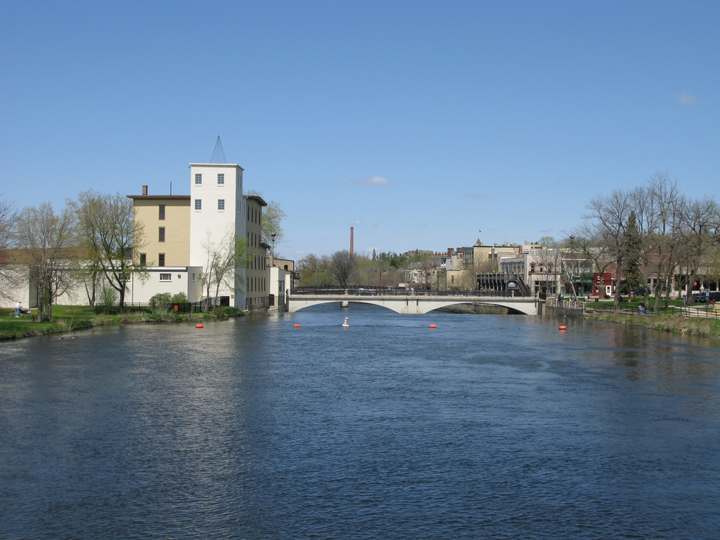
Cannon River
Fountain Lake
Explore Minnesota waters
Top paddling waters
Popular Cities
Loading popular cities...
Explore near Albert Lea Lake
Access points
- Albert Lea Lake, St. Nicholas Landing Public Water Access Site
- Albert Lea Lake, Myre Big Island SPK Public Water Access Site
- Albert Lea Lake, Frank Hall Park Public Water Access Site
- Albert Lea Lake Bridge
- Shell Rock River Bridge
- Peter Lund Creek Bridge
- Shell Rock River Bridge
- I 90 Bridge
- Fountain Lake Bridge
- Peter Lund Creek Bridge
- Ditch (cd #16) Bridge
- Peter Lund Crk (cd # 12) Bridge
- All 19 spots
Nearby waters
More in Minnesota

Smarter Paddling Starts in the App.
Paddleways gives you everything you need to plan smarter, paddle better, and own every trip from first launch to takeout.