Fountain Lake
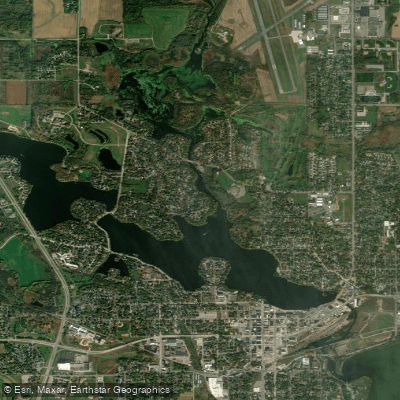
Fountain Lake
- Boat Ramps
- 1
- Access Points
- 7
- Campsites
- 0
Fountain Lake is a 521-acre lake situated in the heart of Albert Lea, Minnesota, in Freeborn County. The lake's shores surround much of the city, creating an unusual and scenic urban paddling environment. Three prominent water fountains dot the lake's surface, giving it both its name and distinctive character. With a maximum depth of 14 feet and approximately 14 miles of shoreline, Fountain Lake offers accessible paddling for kayakers, canoeists, and stand-up paddleboarders of all skill levels.
The lake connects to Albert Lea Lake to the south via a channel, though this passage is not navigable by boat. Fountain Lake serves as part of a chain that includes Pickerel Lake and White Lake upstream, with the Shell Rock River beginning at Albert Lea Lake downstream. This position as the headwaters of the Shell Rock River State Water Trail makes it a natural starting point for extended paddling adventures.
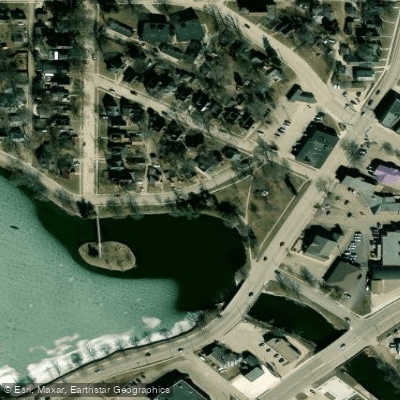
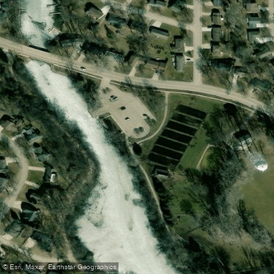
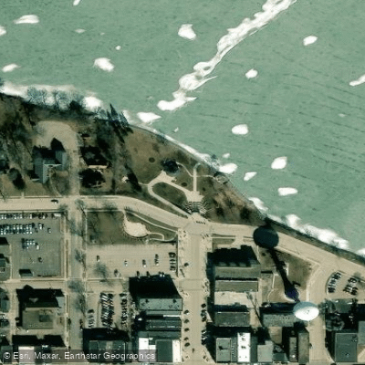
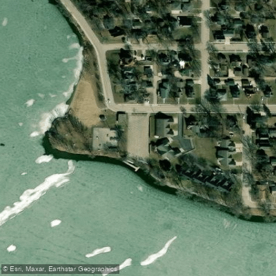
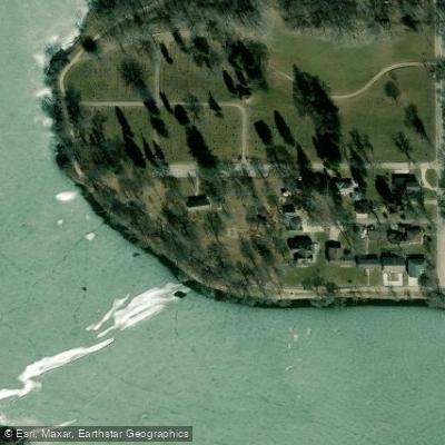
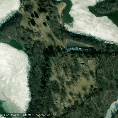
Multiple public access points provide convenient lake entry. Notable launches include the North Edgewater Bay trailer access, Edgewater Park with its fishing pier and facilities, and Frank Hall Park, which features a boat ramp, fishing pier, and restrooms. The Blazing Star State Trail Trailhead at milepost 16.9 also provides water access along with amenities. Rental equipment including kayaks and canoes is available through an app-based kiosk system at Frank Hall Park.
The lake has no motor size restrictions, so paddlers share the water with motorized craft. The urban setting means shoreline development is prominent, particularly around the northwest corner, though southeastern areas blend forest, wetlands, and agricultural lands.
Wildlife viewing opportunities include white-tailed deer, raccoons, foxes, and diverse bird species such as great blue herons, bald eagles, and red-tailed hawks.
Paddlers should be mindful of the lake's shallow depth and potential for wind-driven waves on this open water body. The city-controlled dam maintains consistent water levels throughout the season.
Water access, boat ramps & amenities
Learn how to get on Fountain Lake. Uncover great paddling access points, boat ramps, and all the facilities you need for an unforgettable day on the water. Some locations shown may border or include private property. Always check property boundaries and applicable regulations before visiting. PaddleWays's Public & Private Land layer can help you plan your access with confidence.
Paddle smarter with real-time insights
Whether you're en route and conditions shift or you're looking for the best spot based on current flows, we enable you to make informed decisions on the fly.








Find Places to Paddle

Over 400,000 Places to Paddle
Every user gets free access to launch points, boat ramps, and public property parcels.


Water and weather conditions (10 day forecast)
See the best times to paddle Fountain Lake and check the forecast before you go.
No forecast data available.
Paddling near Fountain Lake
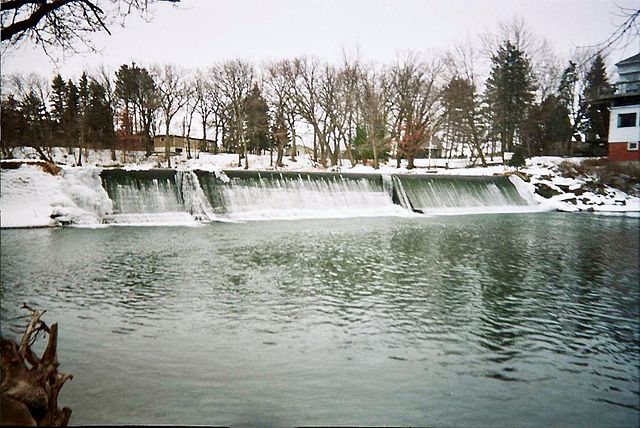
Cedar River
Wapsipinicon River
Clear Lake
South Branch Root River
Turkey River
Winnebago River
Root River
Cannon River
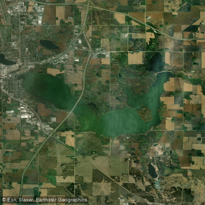
Albert Lea Lake
Explore Minnesota waters
Top paddling waters
Popular Cities
Loading popular cities...
Explore near Fountain Lake
Access points
- Fountain Lake, Brookside Landing Public Boat Ramp
- New Denmark Park Katherine Island Access
- Brookside Park Access
- Fountain Lake Park Access
- City Beach Park Access
- Pioneer Park Access
- Bancroft Bay Park Access
- Fountain Lake Bridge
- Shell Rock River Bridge
- Bancroft Creek Bridge
- Bancroft Creek (cd #65) Bridge
- Albert Lea Lake Bridge
- All 16 spots
Nearby waters
More in Minnesota

Smarter Paddling Starts in the App.
Paddleways gives you everything you need to plan smarter, paddle better, and own every trip from first launch to takeout.