Burntside Lake
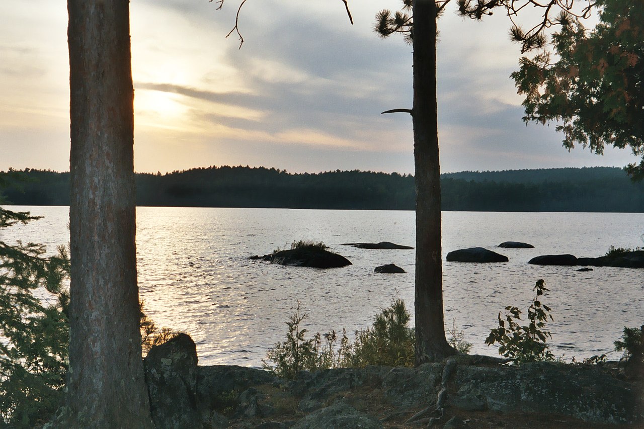
Burntside Lake
- Boat Ramps
- 5
- Access Points
- 5
- Campsites
- 74
Burntside Lake in northeastern Minnesota offers paddlers a scenic 7,314-acre expanse with over 150 islands to explore. The lake stretches 9 miles long and features exceptionally clear water, with visibility reaching up to 20 feet. Rocky shorelines and numerous islands provide ample opportunities for exploration and scenic views.
Paddlers can access the lake via several boat ramps. The lake allows motorized boats without restrictions, so paddlers should be aware of boat traffic. Popular paddling routes include exploring the Dead River on the north shore, which leads to Twin Lakes and Everett Lake. This narrow, lush stream is ideal for wildlife viewing, especially moose at dawn and dusk.
The lake is home to diverse wildlife, including one of Minnesota's largest loon populations. Osprey and great blue heron nest on the islands. Paddlers may spot beaver dams along the Dead River.
Burntside Lake connects to the Boundary Waters Canoe Area Wilderness, offering extended trip options. The 11-mile Burntside-Dead River-Twin Lakes-Everett route is a recommended paddling trail. Primitive Superior National Forest campsites are available on a first-come basis along the north shore and in Twin Lakes for overnight trips.
The lake is known for its cold, clear waters. It reaches a maximum depth of 126 feet, with an average depth of 49 feet. Its trophic state is oligotrophic, indicating very clear water with low nutrient levels.
Facilities for paddlers include picnic areas and some sandy beaches, though the shoreline is predominantly rocky. The lake's historical significance includes Listening Point, the cabin of famous conservationist Sigurd Olson, which can be viewed from the water.
Water access, boat ramps & amenities
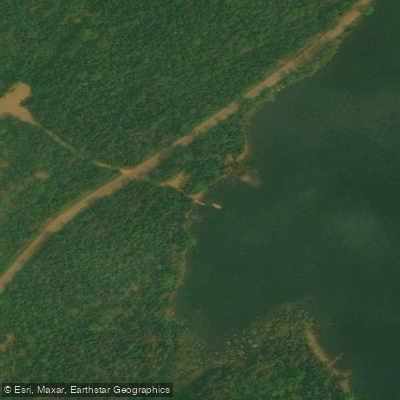
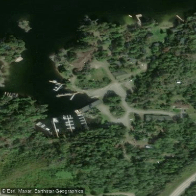
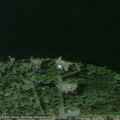
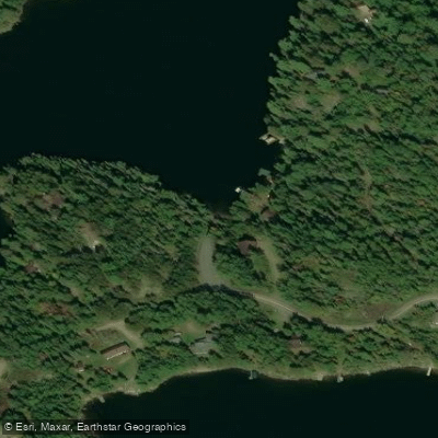
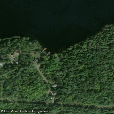
Learn how to get on Burntside Lake. Uncover great paddling access points, boat ramps, and all the facilities you need for an unforgettable day on the water. Some locations shown may border or include private property. Always check property boundaries and applicable regulations before visiting. PaddleWays's Public & Private Land layer can help you plan your access with confidence.
Paddle smarter with real-time insights
Whether you're en route and conditions shift or you're looking for the best spot based on current flows, we enable you to make informed decisions on the fly.








Find Places to Paddle

Over 400,000 Places to Paddle
Every user gets free access to launch points, boat ramps, and public property parcels.


Water and weather conditions (10 day forecast)
See the best times to paddle Burntside Lake and check the forecast before you go.
No forecast data available.
Paddling near Burntside Lake
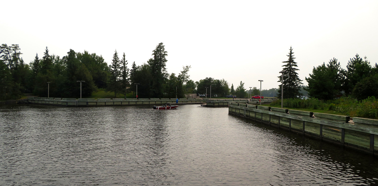
Rainy Lake
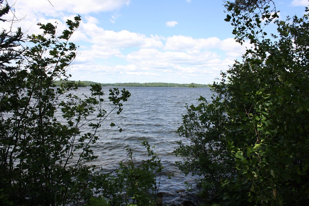
Vermilion Lake
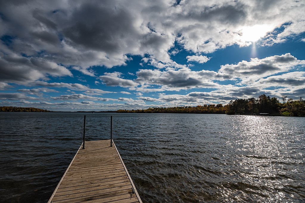
Trout Lake
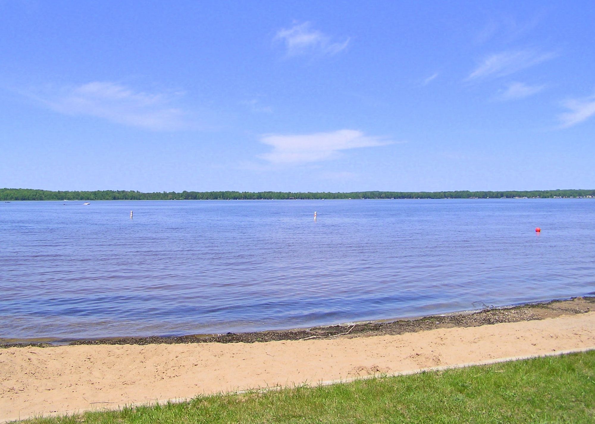
Loon Lake
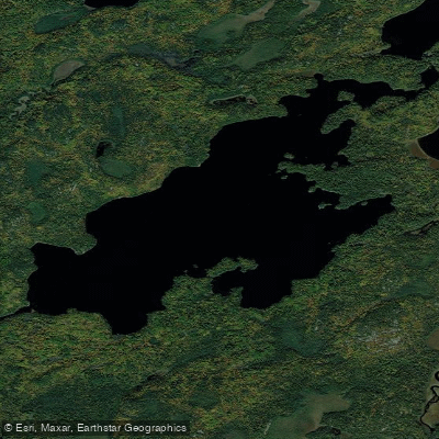
Lake Agnes
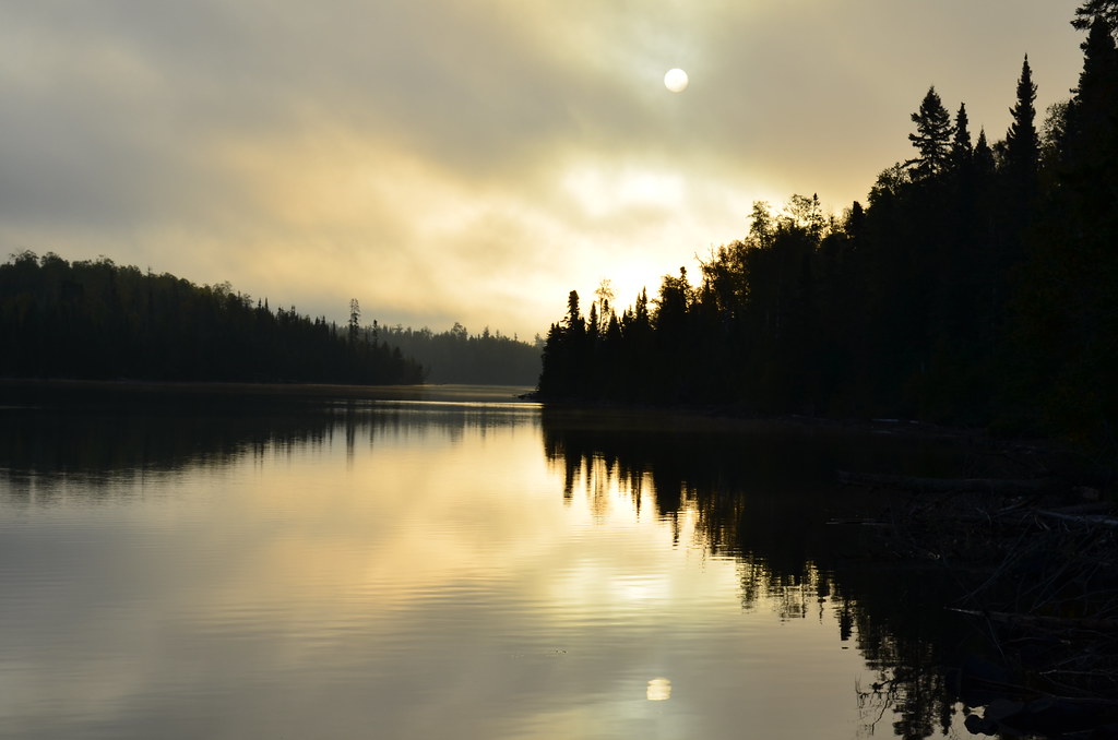
Birch Lake
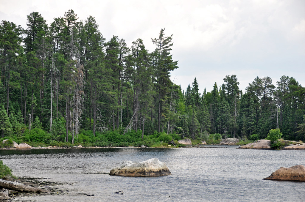
Crab Lake
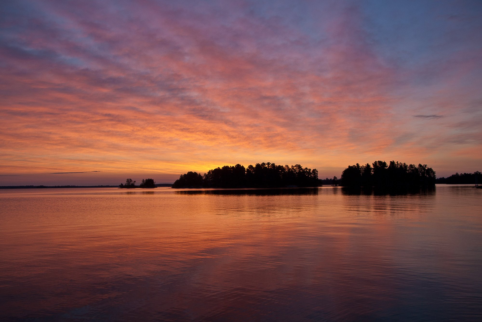
Rainy Lake
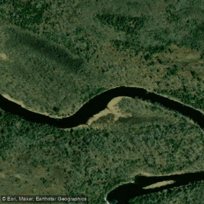
Vermilion River
Explore Minnesota waters
Top paddling waters
Popular Cities
Loading popular cities...
Explore near Burntside Lake
Access points
- Burntside Lake (N) Public Water Access Site
- Burntside Lake, Co Rd 88 Public Water Access Site
- Burntside Lake, Co Rd 404 Public Water Access Site
- Burntside Lake (NE) Public Water Access Site
- Burntside Lake (S) Public Water Access Site
- Burntside River Bridge
- Shagawa River Bridge
- Shagawa River Bridge
- C2119
- C2123
- C2121
- C2118
- All 82 spots
Nearby waters
More in Minnesota

Smarter Paddling Starts in the App.
Paddleways gives you everything you need to plan smarter, paddle better, and own every trip from first launch to takeout.