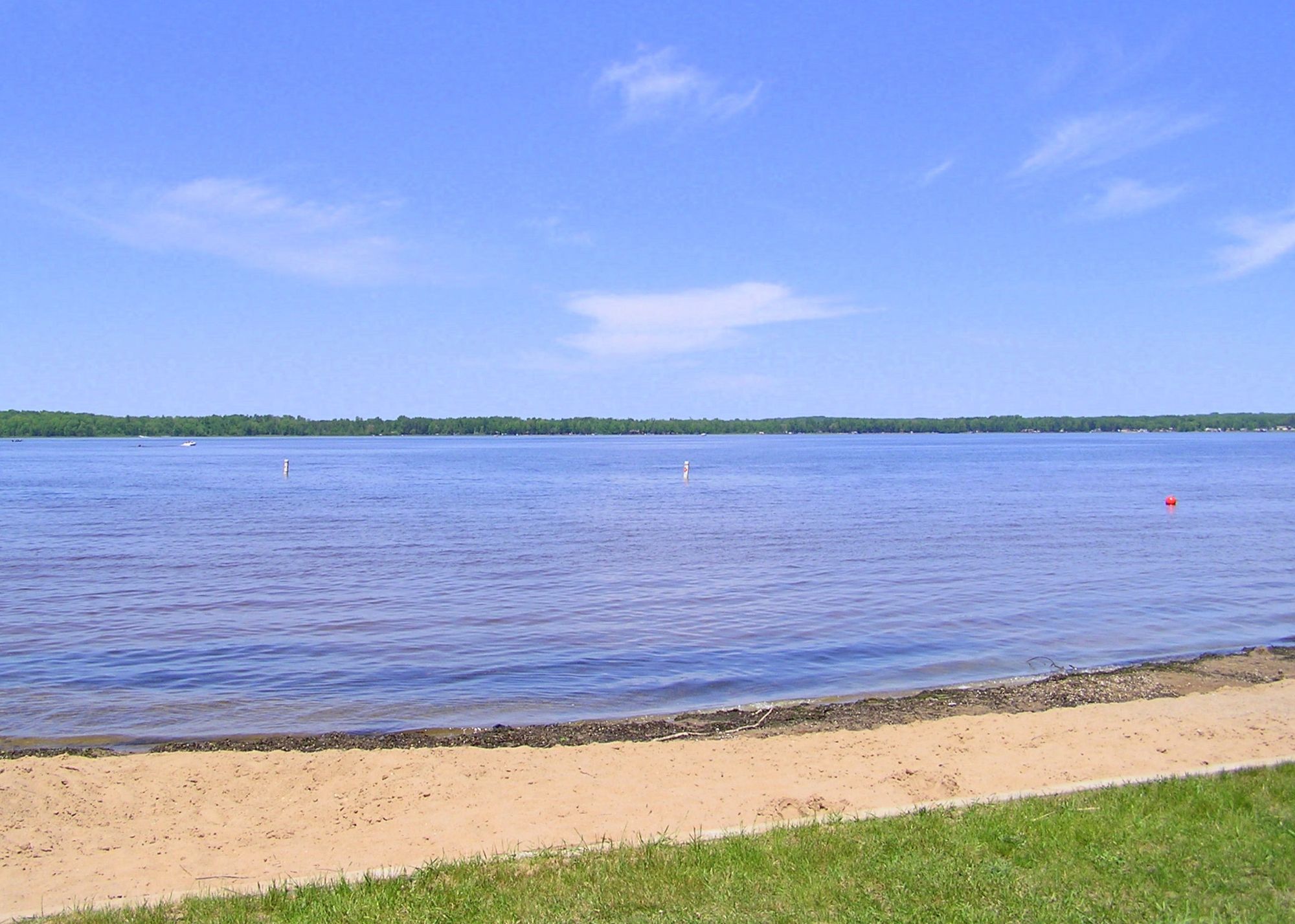
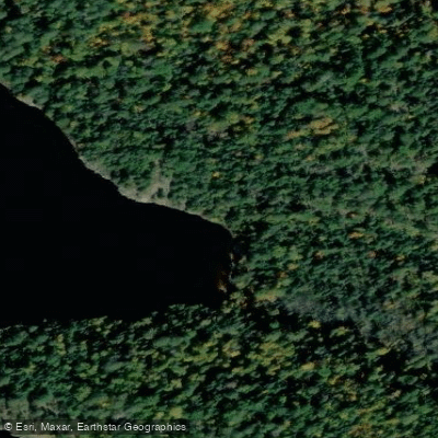
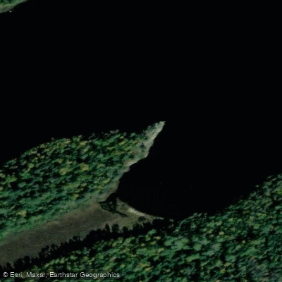
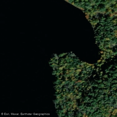
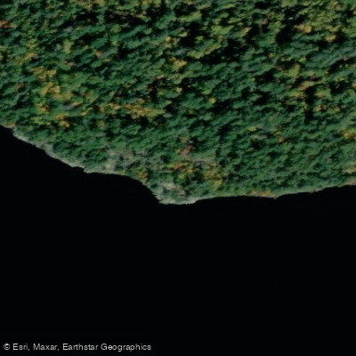
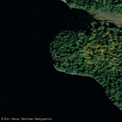
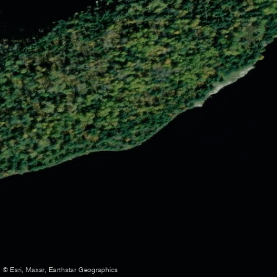
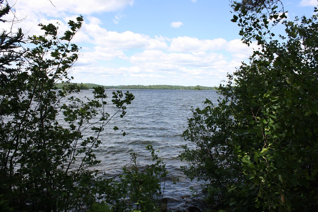
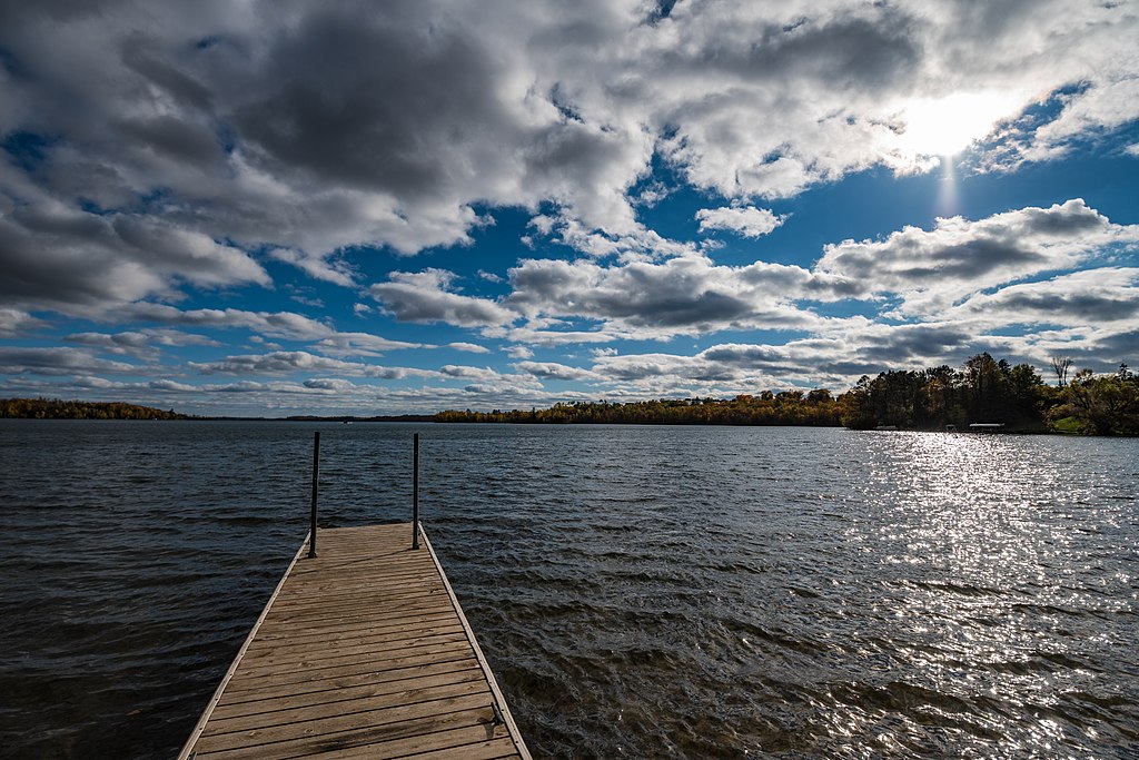
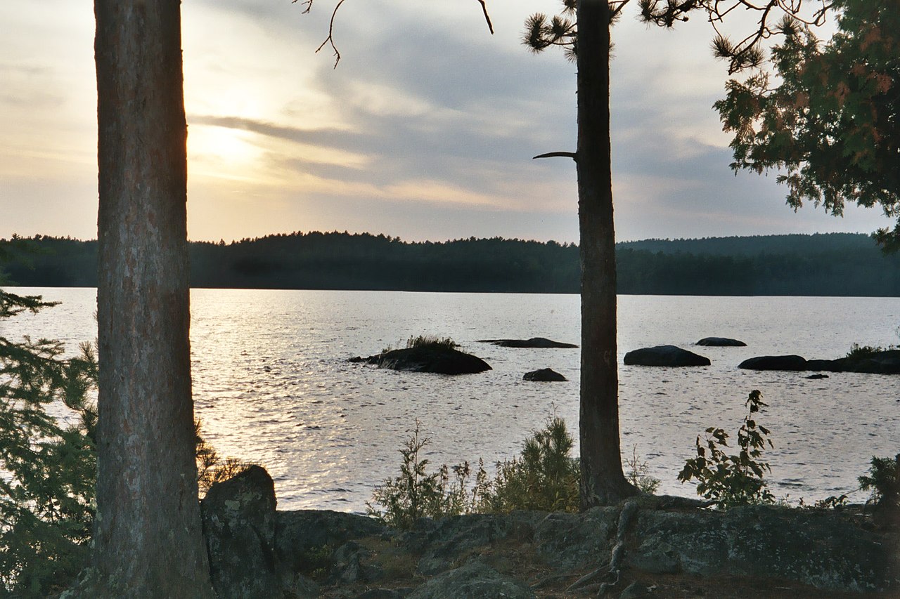
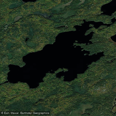
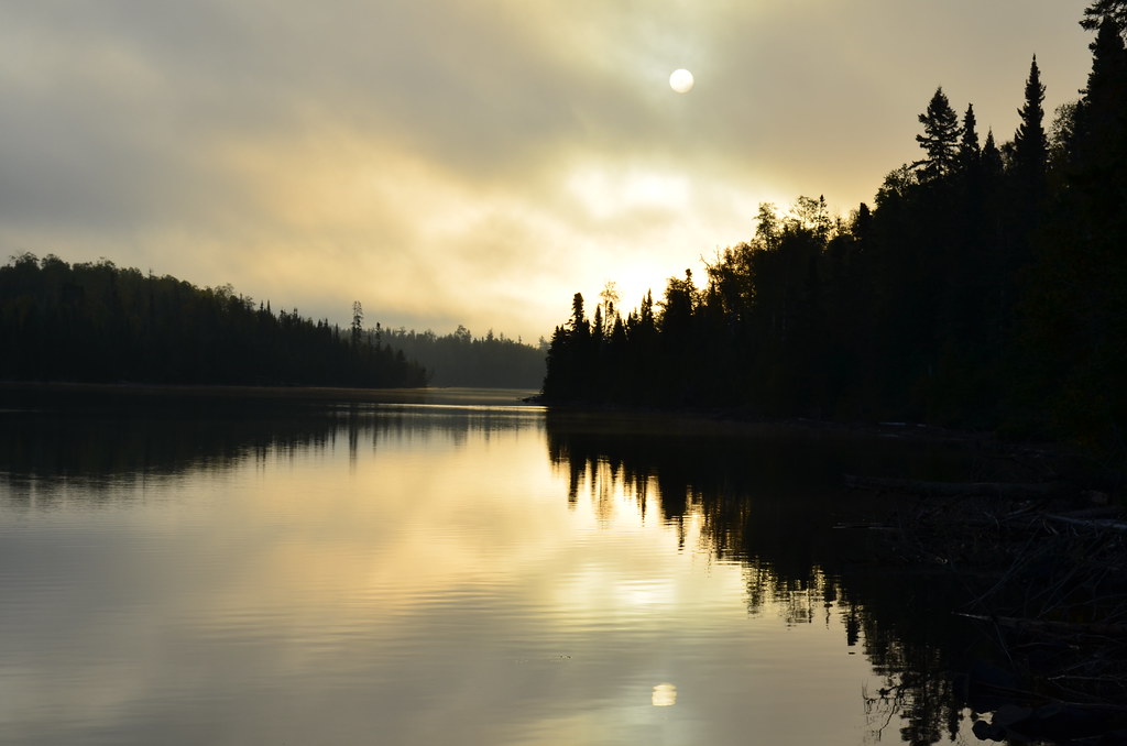
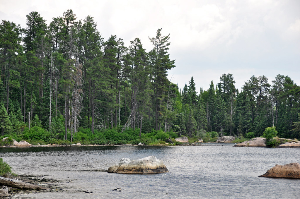
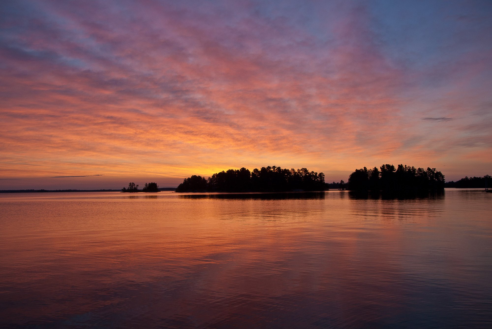
Loon Lake in St. Louis County is a substantial 2,498-acre wilderness lake situated on the Minnesota-Ontario border, with 2,017 acres located within Minnesota. The lake lies entirely within the Superior National Forest Boundary Waters Canoe Area Wilderness, 8 miles southeast of Crane Lake. With a maximum depth of 76 feet and 48.89 miles of shoreline, this lake features a rocky, irregular coastline dotted with numerous islands.
Access to Loon Lake requires portaging, as there is no road access. Paddlers typically reach the lake by traveling from road access points on Crane Lake. Multiple portage routes are available: a mechanical or carry-in portage at Loon Falls, a 6.3-mile route from Echo Trail through the Pauness Lakes (requiring portages around three sets of rapids), a mechanical portage between Lac La Croix and Loon Lake with an alternative carry-in trail, a 0.8-mile trail from Heritage Creek, and a 0.5-mile portage from Slim Lake.
The lake contains tannin-stained water with low fertility, characteristic of Canadian Shield lakes. Water clarity averages 8.0 feet. The Forest Service maintains several designated campsites on the lake and portage trails connecting to surrounding waters. As a border water, fishing regulations follow Canada-Minnesota border waters rules rather than standard Minnesota regulations.
The lake supports a diverse fish population including walleye, northern pike, smallmouth bass, cisco, white sucker, yellow perch, lake whitefish, burbot, black crappie, rock bass, sauger, redhorse, and bluegill. The walleye population is particularly robust, with recent surveys showing the highest catch rates ever recorded on the lake.
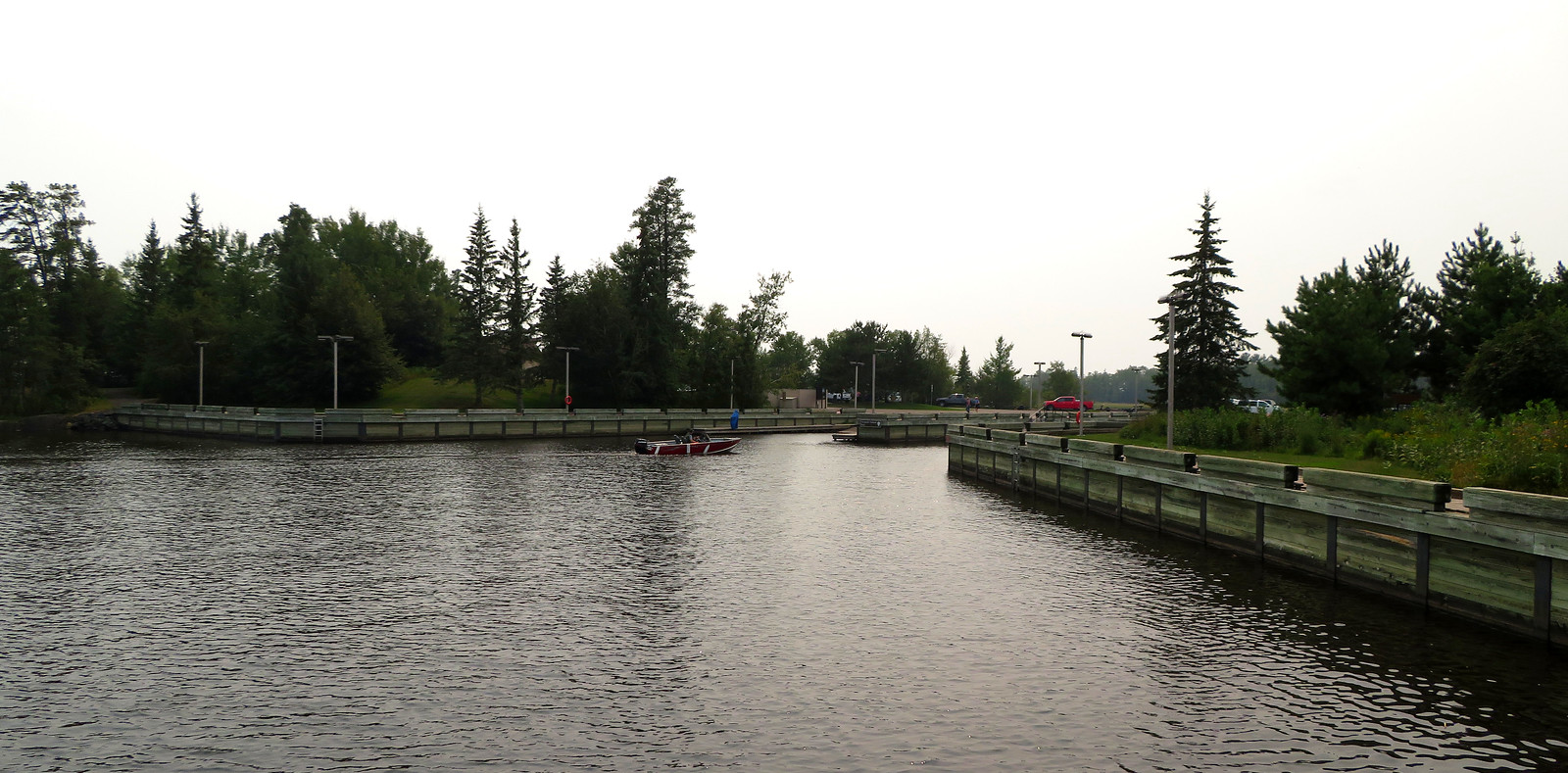
Due to its wilderness location, human development is extremely limited, offering paddlers an authentic backcountry experience amid the rocky terrain and forested shoreline typical of the Canadian Shield region.