Vermilion Lake
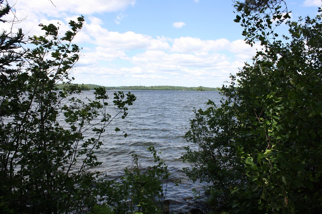
Vermilion Lake
- Boat Ramps
- 23
- Access Points
- 23
- Campsites
- 60
Lake Vermilion is one of Minnesota's largest lakes, covering over 39,000 surface acres with a maximum depth of 76 feet. Located in northern Minnesota between the towns of Tower and Cook, it features over 360 islands that help protect the lake from rough waters, making it safely navigable in most conditions. The lake is renowned for its scenic beauty and excellent fishing.
Paddlers can enjoy exploring the lake's many bays and uninhabited corners by canoe or kayak. The lake's shape and connection to other bodies of water allow for extensive exploration. Canoeing is particularly popular, with the nearby Boundary Waters Canoe Area Wilderness accessible (permit required).
Lake Vermilion offers diverse paddling experiences, from wide open waters to more intimate settings among its islands and inlets. The surrounding landscape includes forests of pine, spruce, fir, aspen and birch, with occasional exposed bedrock and tall bluffs along the shoreline.
For day trips, paddlers can access the Vermilion River flowing north out of the lake. One recommended route starts on Twomile Creek, continues 6 miles down the Vermilion River, and ends by paddling up Eightmile Creek. This stretch offers an easy paddle with no rapids, surrounded by forests and boglands.
Facilities for paddlers include shore lunch sites with fire rings and latrines at designated locations around the lake. Camping options range from backcountry sites to more developed campgrounds in the surrounding state parks and forests.
The lake has a rich history dating back thousands of years, with evidence of Native American habitation and early European exploration. Today, it remains a popular destination for fishing, boating, and other water activities. Paddlers should be aware that the lake can get busy with motorized boat traffic, especially during peak summer months.
Water access, boat ramps & amenities
Learn how to get on Vermilion Lake. Uncover great paddling access points, boat ramps, and all the facilities you need for an unforgettable day on the water. Some locations shown may border or include private property. Always check property boundaries and applicable regulations before visiting. PaddleWays's Public & Private Land layer can help you plan your access with confidence.
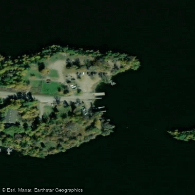
Vermilion Lake, Moccasin Point Public Water Access Site
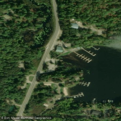
Vermilion Lake, Head o Lakes Public Water Access Site
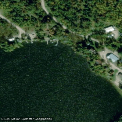
Vermilion Lake Boat Ramp
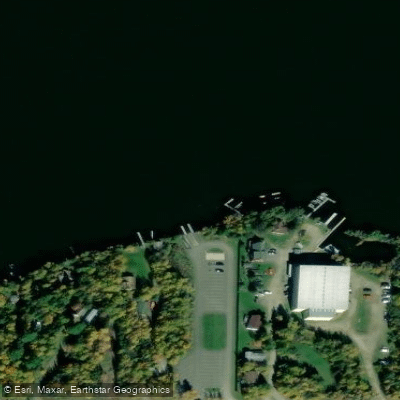
Lake Vermilion Boat Ramp
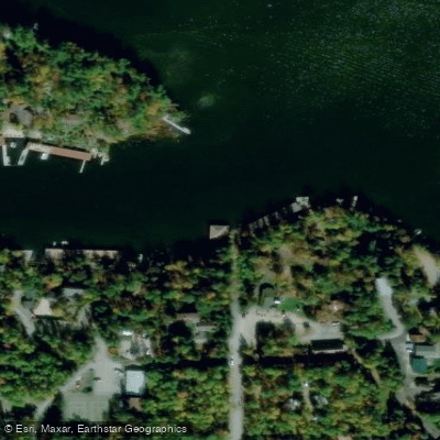
Vermilion Lake Boat Ramp
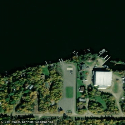
Black Duck Bay State Water Access Site Boat Ramp
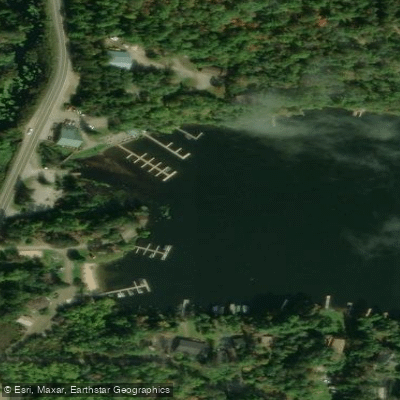
Head o Lakes Public Boat Ramp
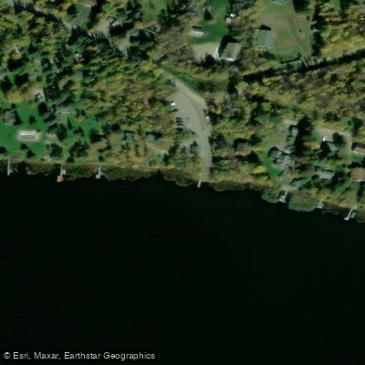
Vermilion Lake Boat Ramp
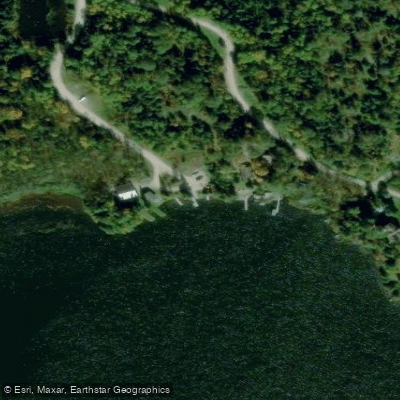
Vermilion Lake, Norwegian Bay Public Water Access Site
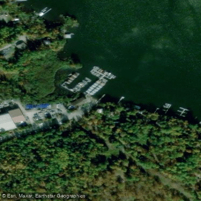
Vermilion Lake, Oak Narrows Public Water Access Site
Paddle smarter with real-time insights
Whether you're en route and conditions shift or you're looking for the best spot based on current flows, we enable you to make informed decisions on the fly.








Find Places to Paddle

Over 400,000 Places to Paddle
Every user gets free access to launch points, boat ramps, and public property parcels.


Water and weather conditions (10 day forecast)
See the best times to paddle Vermilion Lake and check the forecast before you go.
No forecast data available.
Paddling near Vermilion Lake
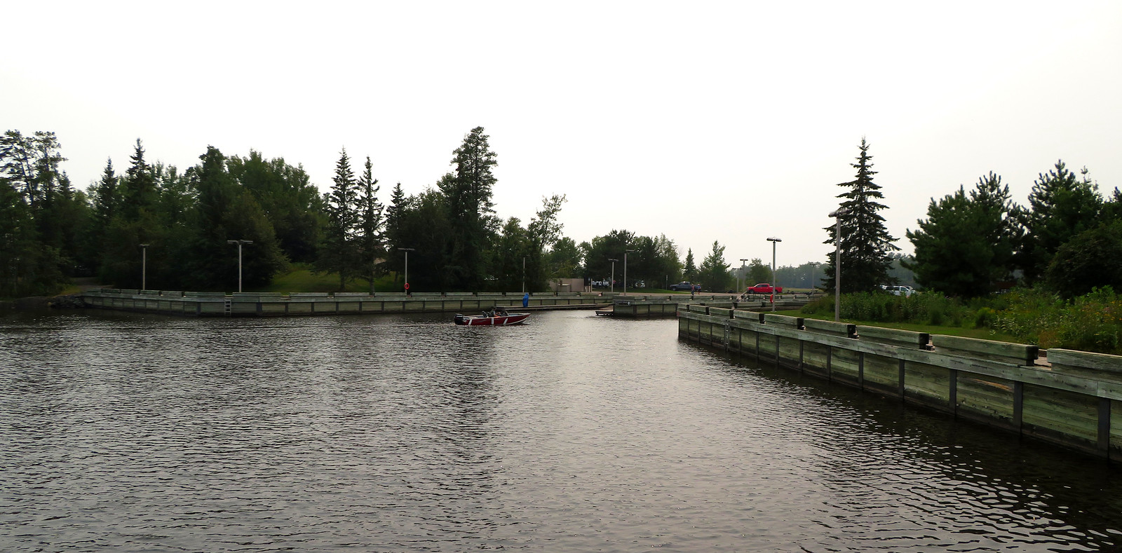
Rainy Lake
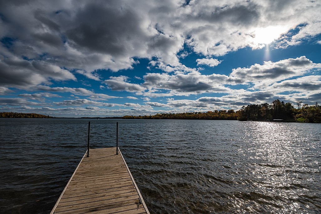
Trout Lake
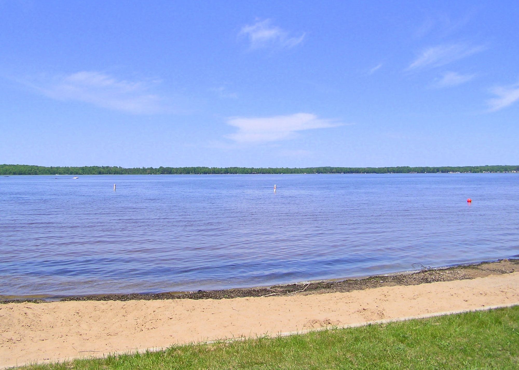
Loon Lake
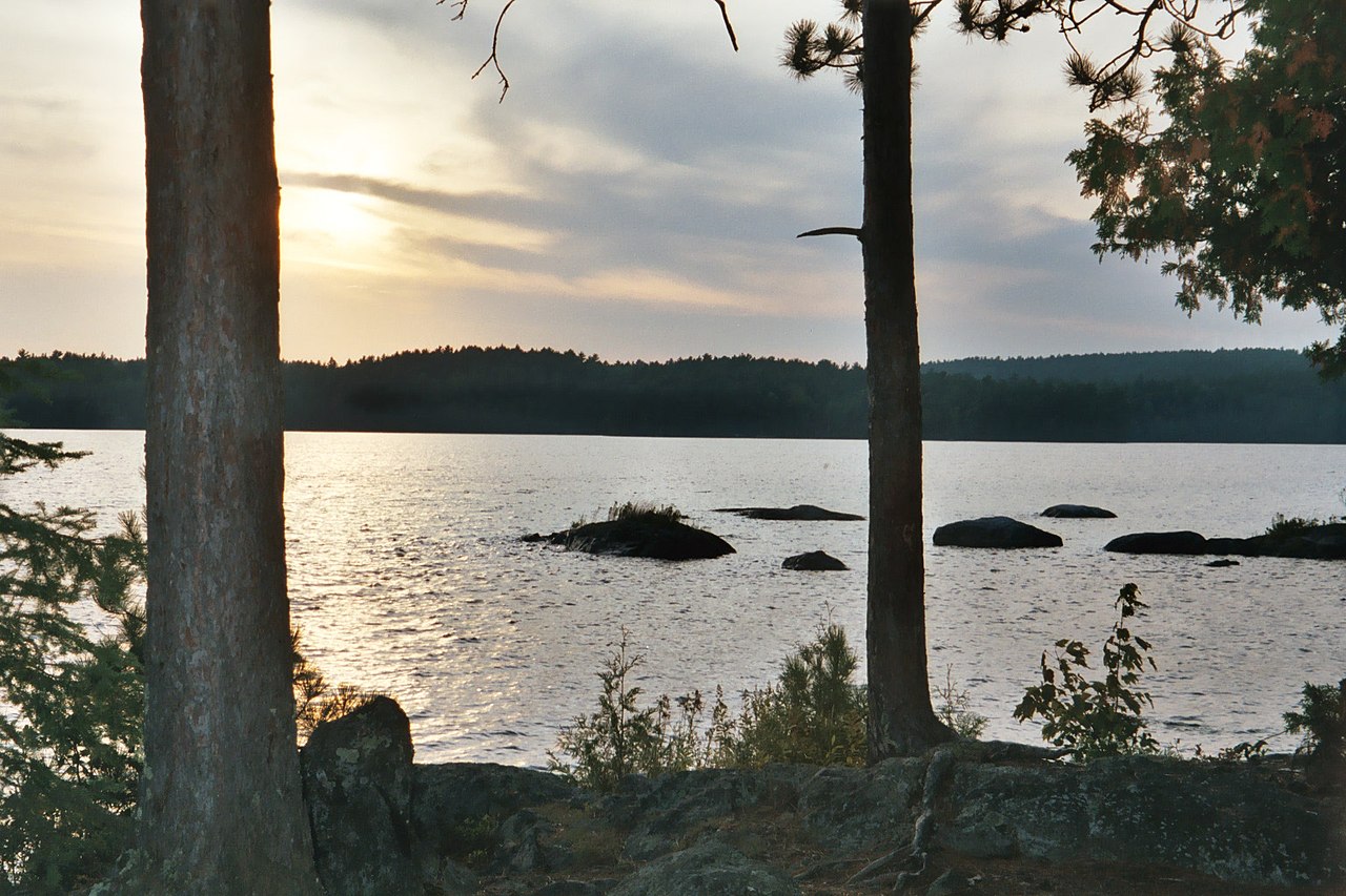
Burntside Lake
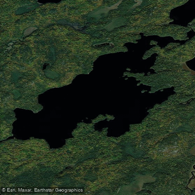
Lake Agnes
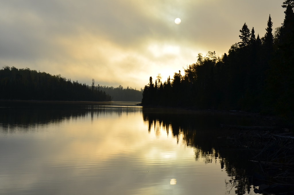
Birch Lake
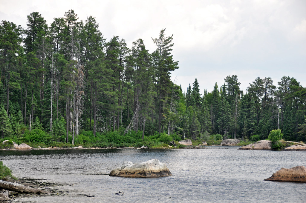
Crab Lake
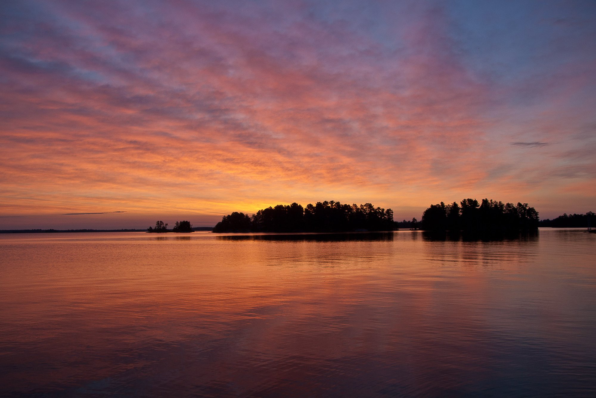
Rainy Lake
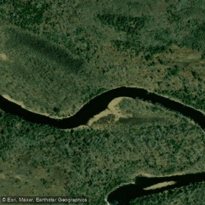
Vermilion River
Explore Minnesota waters
Top paddling waters
Popular Cities
Loading popular cities...
Explore near Vermilion Lake
Access points
- Vermilion Lake, Moccasin Point Public Water Access Site
- Vermilion Lake, Head o Lakes Public Water Access Site
- Vermilion Lake Boat Ramp
- Lake Vermilion Boat Ramp
- Vermilion Lake Boat Ramp
- Black Duck Bay State Water Access Site Boat Ramp
- Head o Lakes Public Boat Ramp
- Vermilion Lake Boat Ramp
- Vermilion Lake, Norwegian Bay Public Water Access Site
- Vermilion Lake, Oak Narrows Public Water Access Site
- Birch Point Marine Boat Ramp
- Stuntzbay State Boat Ramp
- All 103 spots
Nearby waters
More in Minnesota

Smarter Paddling Starts in the App.
Paddleways gives you everything you need to plan smarter, paddle better, and own every trip from first launch to takeout.