Vermilion River
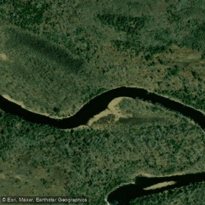
Vermilion River
- Boat Ramps
- 1
- Access Points
- 4
- Campsites
- 33
The Vermilion River is a scenic waterway in northeastern Minnesota, flowing northward for approximately 40 miles from Lake Vermilion to Crane Lake. This river system winds through the pristine Kabetogama State Forest, offering paddlers a wilderness experience through diverse boreal forests of pine, spruce, fir, aspen, and birch. The river is divided into several distinct paddling sections, each with its own character. The upper stretch from Vermilion Dam to Twomile Creek features challenging Class II-III rapids, best suited for experienced whitewater paddlers. Downstream, a gentler 7-mile section between Twomile Creek and Eightmile Creek provides a more relaxed flatwater experience ideal for novice paddlers and families. As the river continues north, it encounters more varied terrain, including the notable Table Rock Falls and the dramatic Vermilion River Gorge near Crane Lake. The gorge section, approximately 4 miles long, contains the most challenging whitewater on the river with potential Class III-IV rapids, requiring advanced skills and careful scouting.
The Vermilion River's flow is generally most reliable for paddling from late spring through early fall, with peak water levels typically occurring during spring snowmelt. Summer offers pleasant conditions, though water levels may drop in late season, particularly affecting the upper rapids. Wildlife enthusiasts will appreciate opportunities to spot diverse fauna, including bald eagles, ospreys, otters, and occasionally moose or black bears. The surrounding forest showcases classic northern Minnesota ecology, with wildflowers dotting the shoreline in warmer months.
Key access points include the put-in at Vermilion Dam, Twomile Creek access, Eightmile Creek access, and the take-out near Crane Lake. The nearby towns of Tower and Ely serve as gateways to the region, offering supplies and accommodations. For those seeking multi-day adventures, primitive campsites are available along the river, allowing paddlers to fully immerse themselves in the wilderness experience. A popular side trip involves exploring the Pelican River, which joins the Vermilion at river mile 21.2, offering additional rapids and a waterfall.
Paddlers should be aware of potential hazards such as strainers and changing water levels. All visitors must follow Leave No Trace principles and any specific regulations set by the Minnesota Department of Natural Resources to preserve this pristine waterway. The Vermilion River holds historical significance as part of the region's logging heritage and remains an important recreational resource, offering a quintessential northern Minnesota paddling experience that combines serene flatwater stretches with exhilarating whitewater challenges.
Water access, boat ramps & amenities
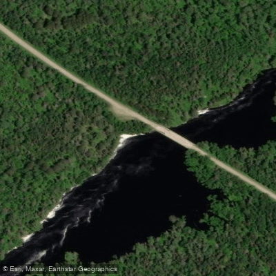
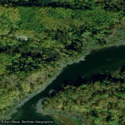
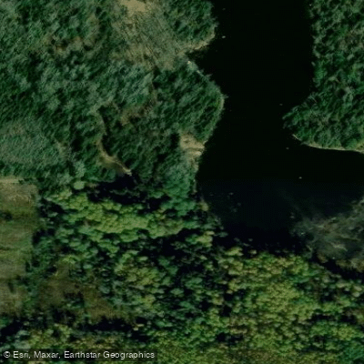
Learn how to get on Vermilion River. Uncover great paddling access points, boat ramps, and all the facilities you need for an unforgettable day on the water. Some locations shown may border or include private property. Always check property boundaries and applicable regulations before visiting. PaddleWays's Public & Private Land layer can help you plan your access with confidence.
Paddle smarter with real-time insights
Whether you're en route and conditions shift or you're looking for the best spot based on current flows, we enable you to make informed decisions on the fly.








Find Places to Paddle

Over 400,000 Places to Paddle
Every user gets free access to launch points, boat ramps, and public property parcels.


Water and weather conditions (10 day forecast)
See the best times to paddle Vermilion River and check the forecast before you go.
VERMILION RIVER NR CRANE LAKE, MN
Paddling near Vermilion River
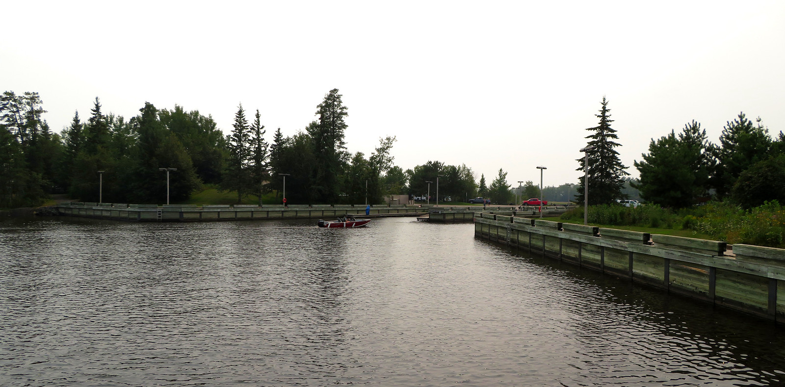
Rainy Lake
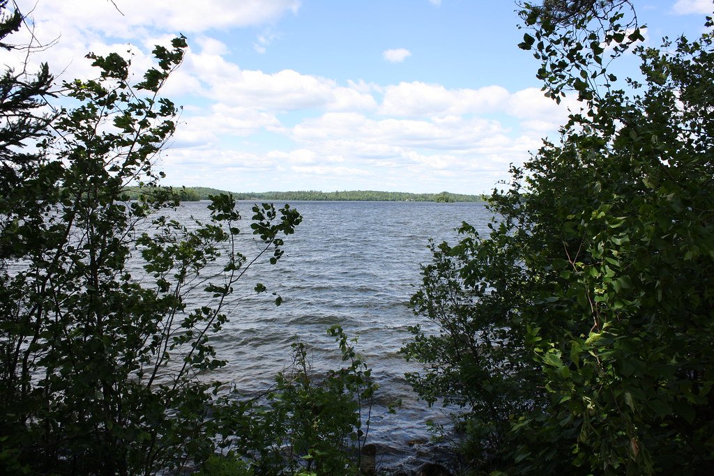
Vermilion Lake
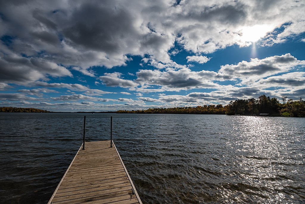
Trout Lake
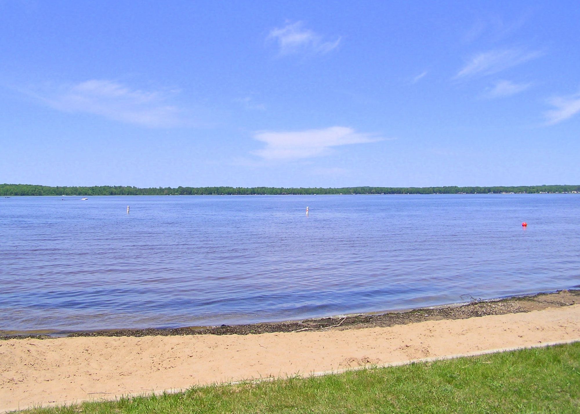
Loon Lake
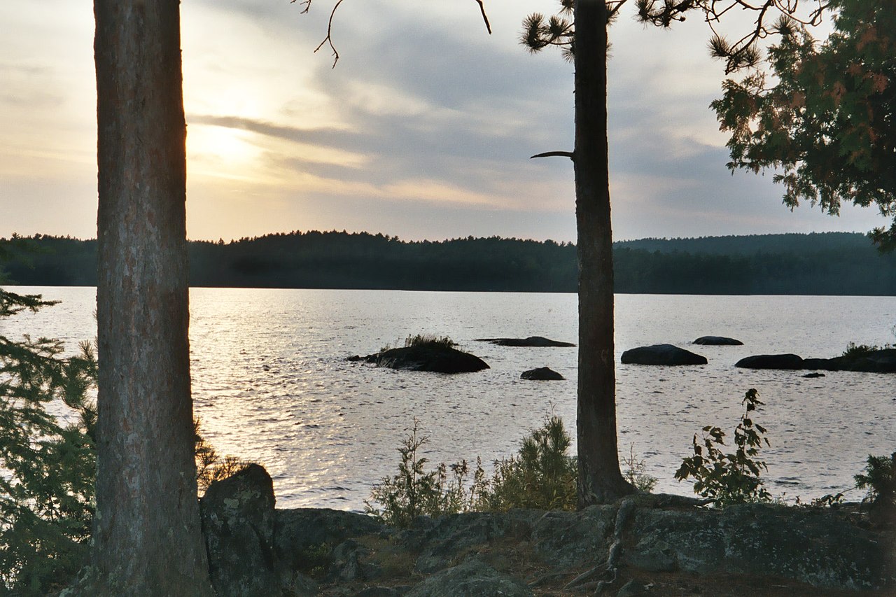
Burntside Lake
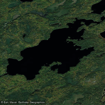
Lake Agnes
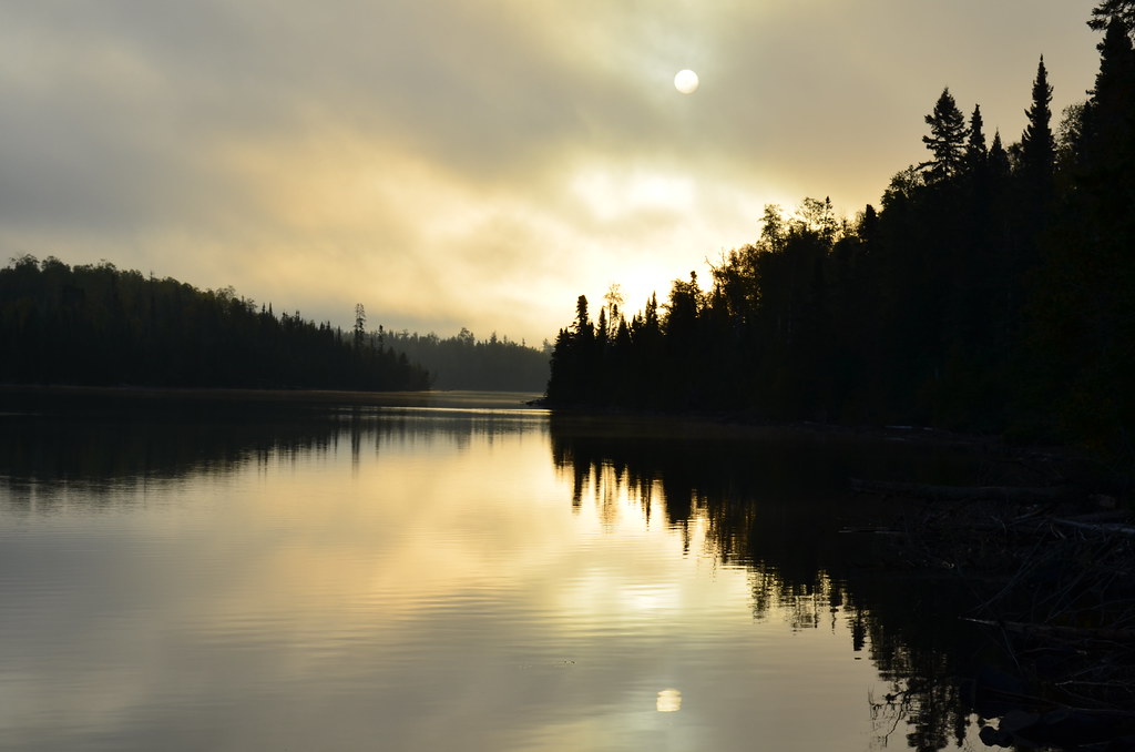
Birch Lake
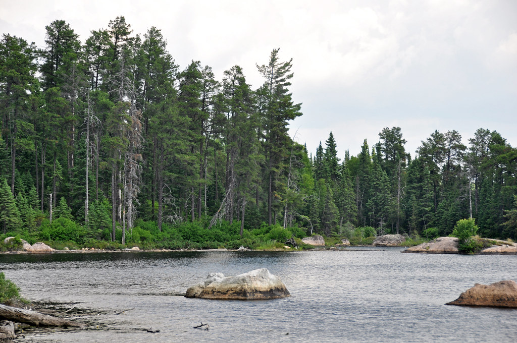
Crab Lake
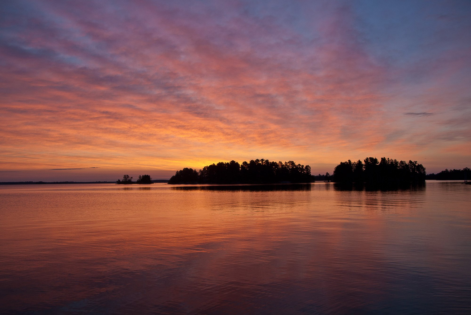
Rainy Lake
Explore Minnesota waters
Top paddling waters
Popular Cities
Loading popular cities...
Explore near Vermilion River
Access points
- Vermilion River, Buyck Public Water Access Site
- Vermilion River Co Rd 491 Public Water Access Site
- Shivley Falls Access
- Vermilion River, Co Rd 24 Public Water Access Site
- Vermilion River Bridge
- Vermillion River Bridge
- Ten Mile Creek Bridge
- Eight Mile Creek Bridge
- Two Mile Creek Bridge
- Flap Creek Bridge
- Echo River Bridge
- Hilda Creek Bridge
- All 46 spots
Nearby waters
More in Minnesota

Smarter Paddling Starts in the App.
Paddleways gives you everything you need to plan smarter, paddle better, and own every trip from first launch to takeout.