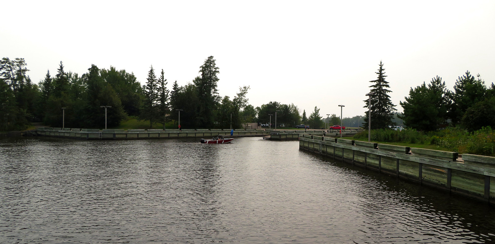
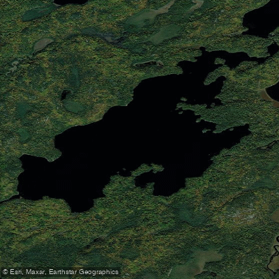
Crab Lake in St. Louis County serves as Entry Point #4 to the Boundary Waters Canoe Area Wilderness, located near Burntside Lake. Access to the lake requires a 320-rod portage from the entry point, with four daily entry permits available through the reservation system. The lake provides access to both Crab and Cummings Lakes within the BWCA system.
As a BWCA entry point, Crab Lake operates under wilderness regulations that require advance permits for overnight camping. Day-use permits may also be required during peak seasons. The portage distance of 320 rods (approximately one mile) makes this a moderately challenging access point that filters out casual users, contributing to a more pristine wilderness experience.
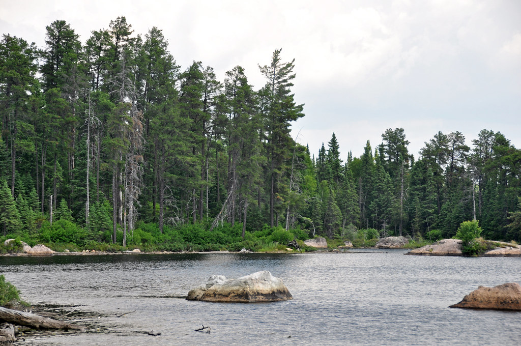
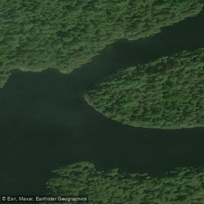
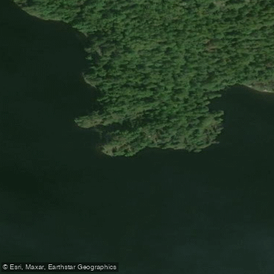
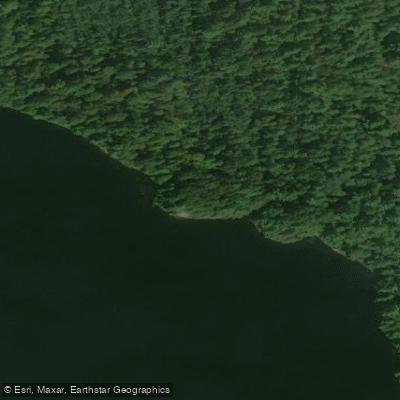
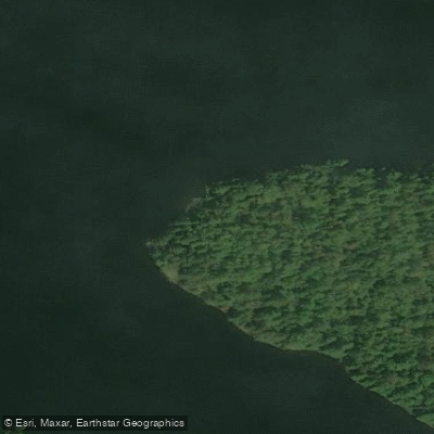
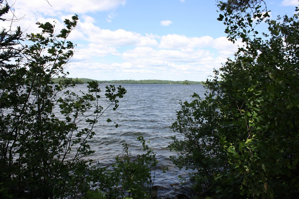
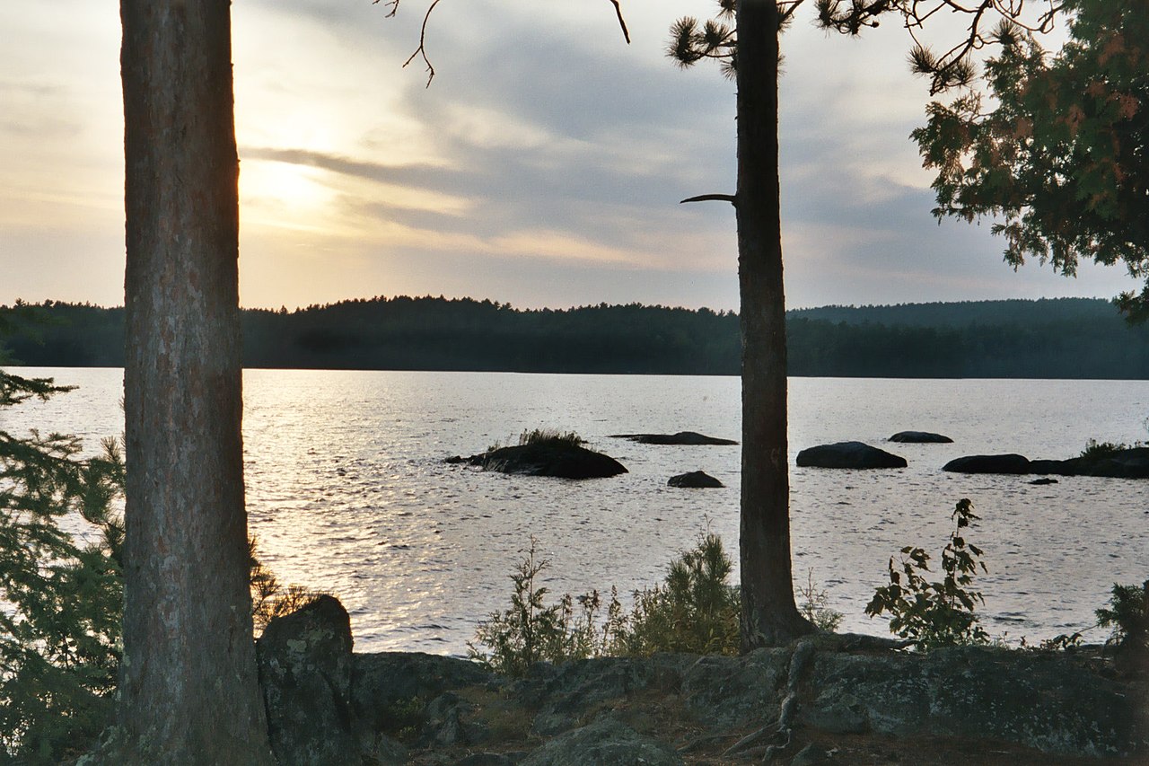
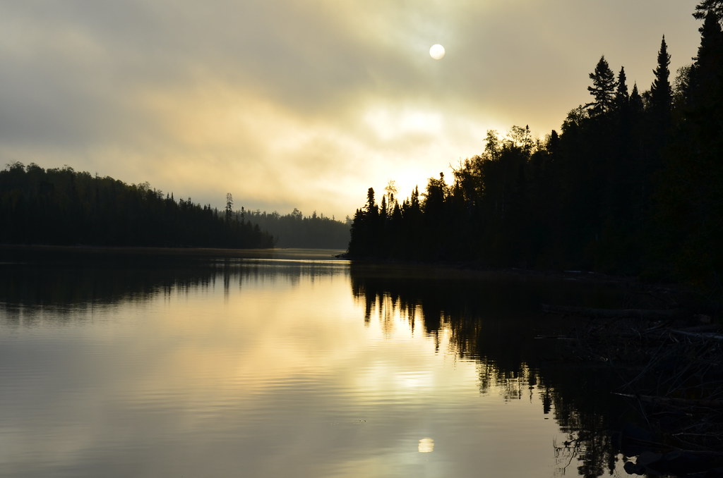
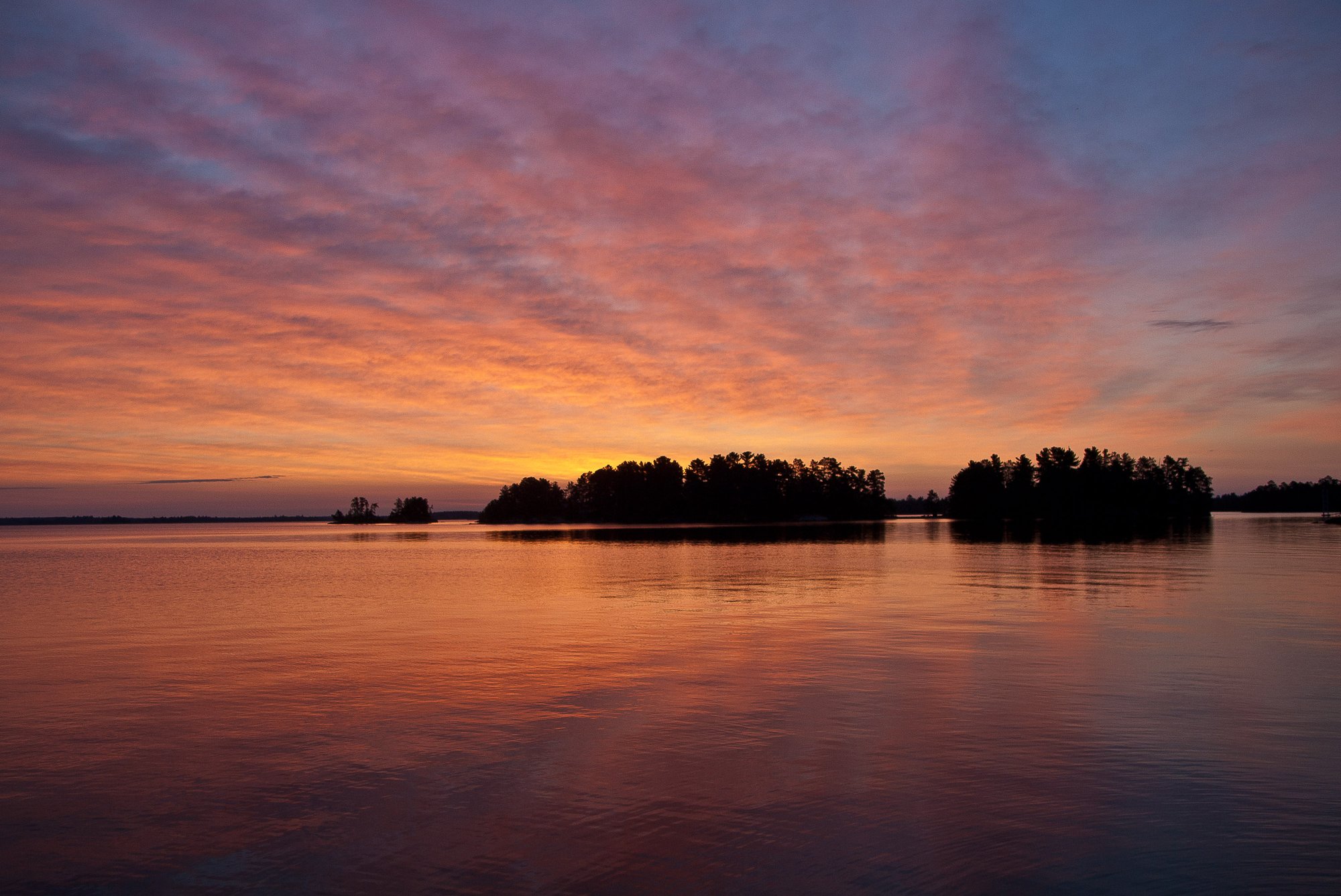
The lake sits within the Superior National Forest and maintains the undeveloped character typical of BWCA waters. The surrounding landscape features the boreal forest ecosystem characteristic of northern Minnesota, with coniferous and mixed hardwood forests extending to the shoreline. Wildlife viewing opportunities include the various species native to the region's wilderness areas.
Multiple outfitters operate within 5-15 miles of the entry point, offering equipment rentals, complete outfitting services, and shuttle transportation. These businesses provide essential support for paddlers, including waterproof maps, canoes, camping gear, and route planning assistance for both novice and experienced wilderness travelers.
The lake connects to the broader BWCA lake system, allowing for extended wilderness paddling routes ranging from day trips to multi-day expeditions. The relatively limited daily permits help maintain the wilderness character and reduce crowding compared to more accessible entry points.
Water conditions and ice-out timing follow typical northern Minnesota patterns, with the paddling season generally extending from late spring through early fall, though specific seasonal timing can vary significantly based on annual weather patterns.